Pirep is a free, collaborative database of all public and private airports. All pilots are welcome to contribute their local knowledge to any airport, no registration required.


No upcoming events. Is anything happening here soon?
Last updated: 2023-04-05 10:11:15 EDT
Last updated: 2024-02-11 02:35:14 EST
Airport Statistics
- Fuel pump location
- WiFi availability
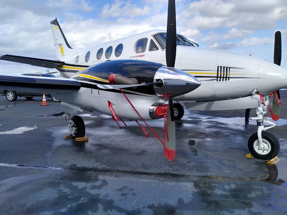
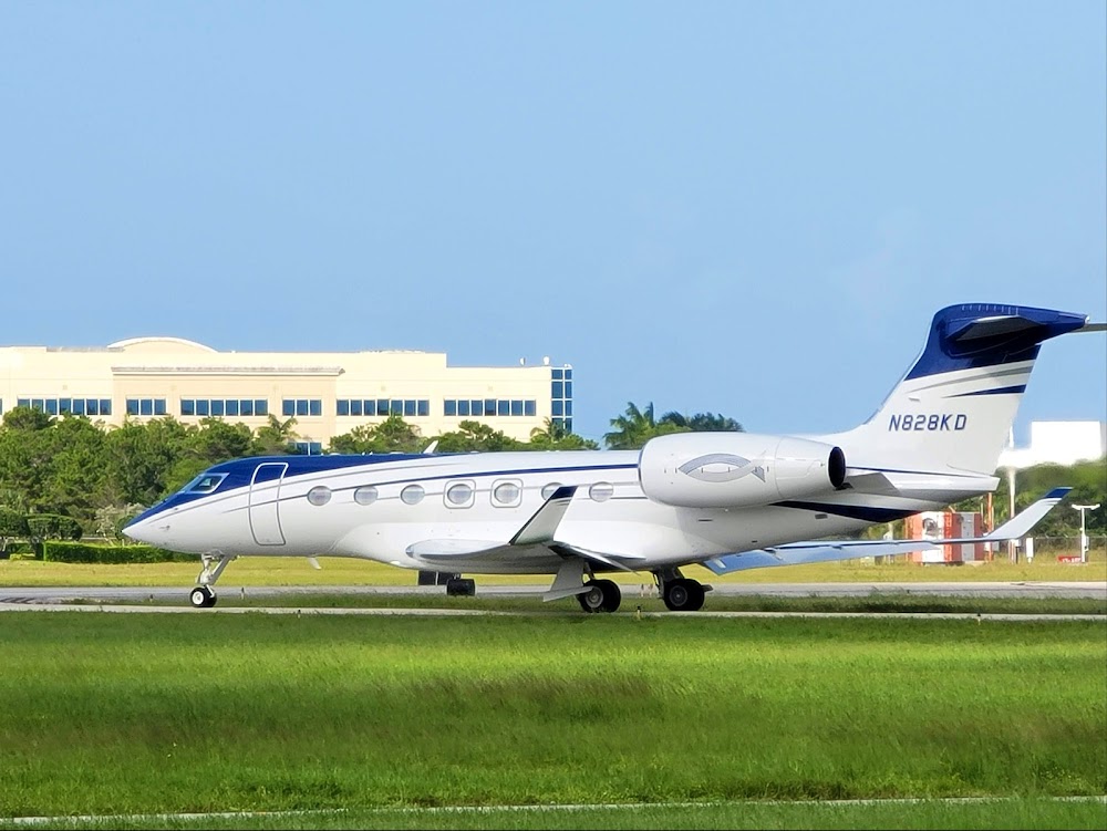
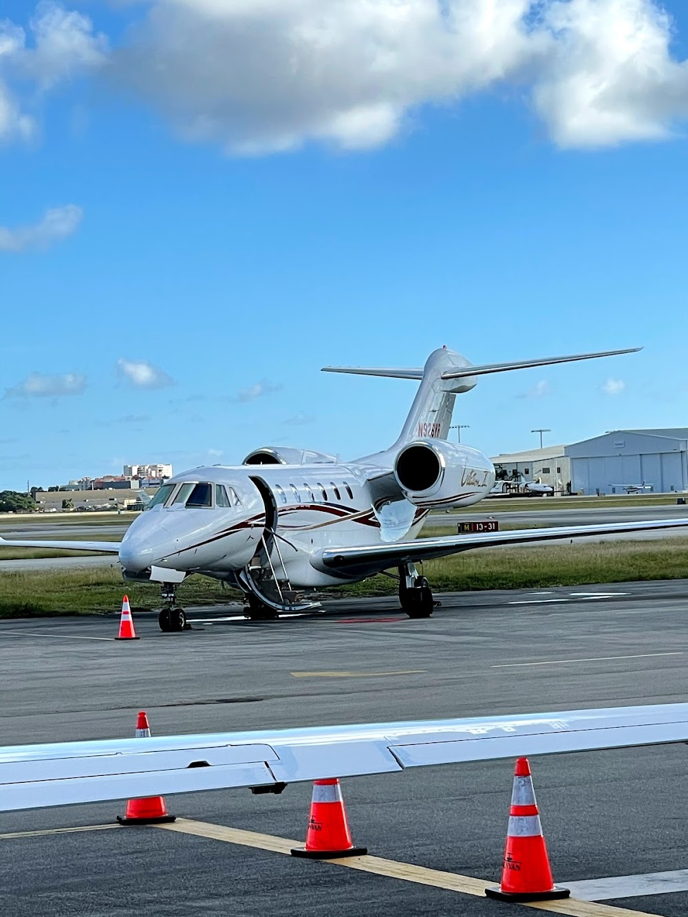
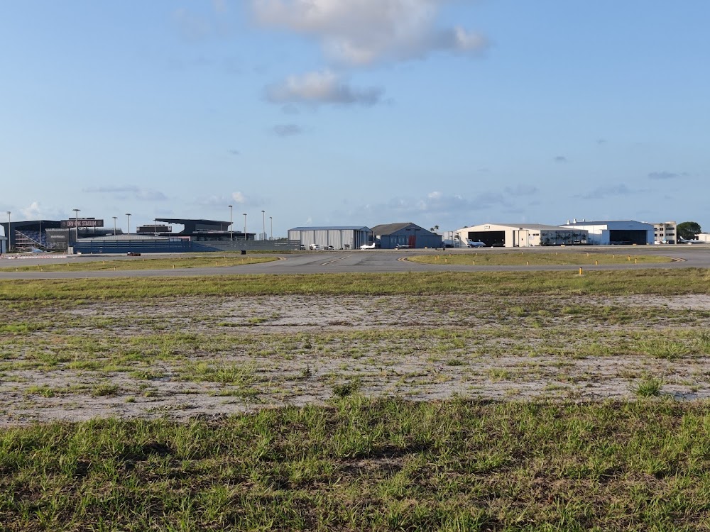
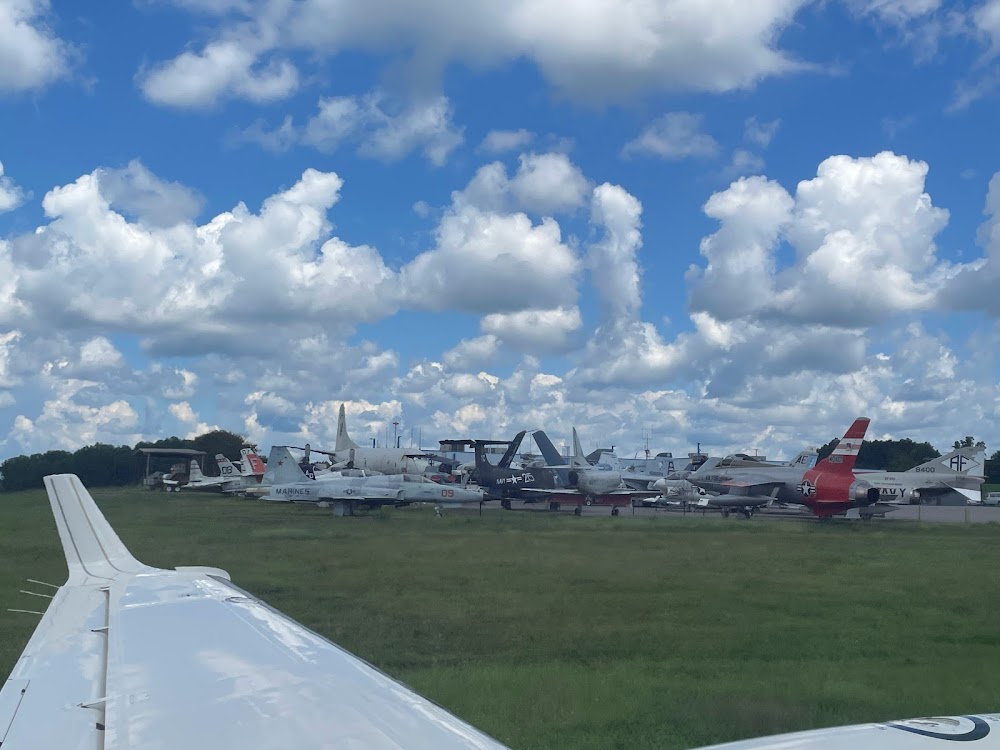
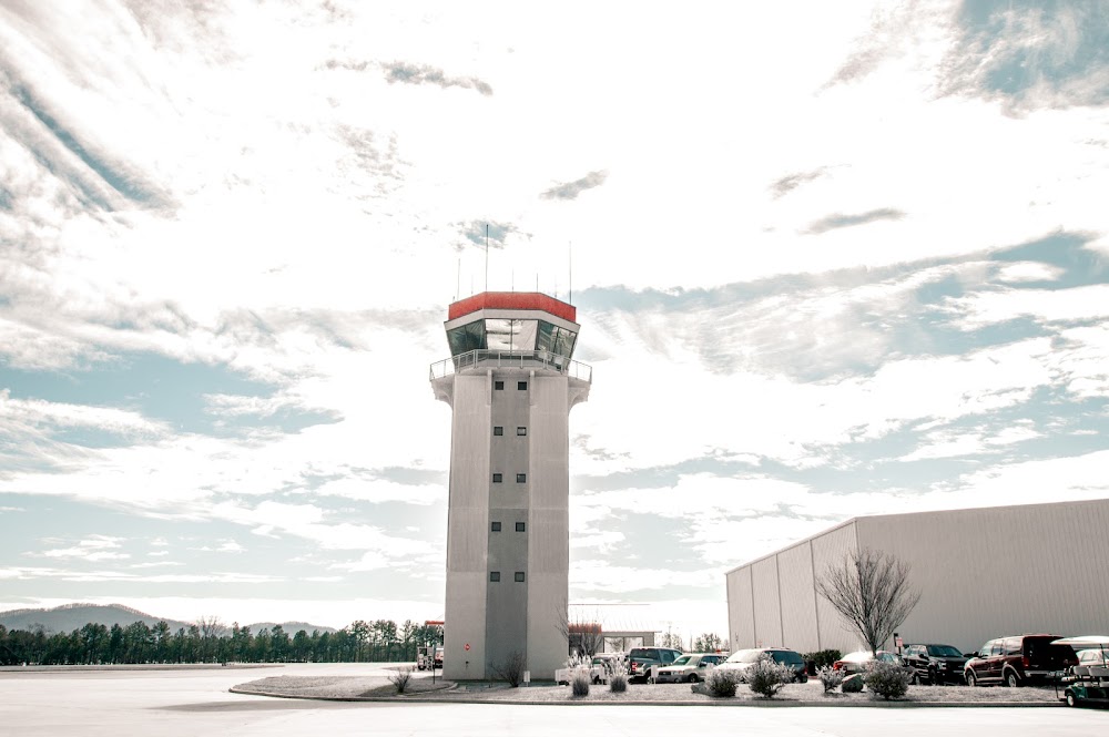
- Airport photos
Location:
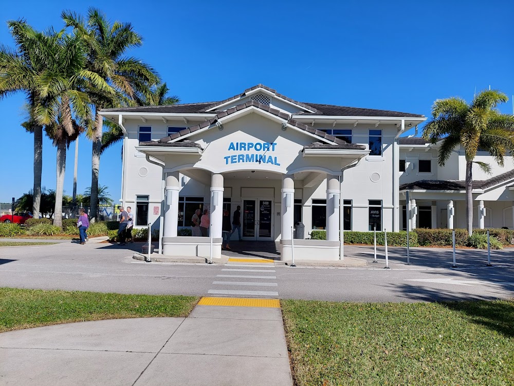
Fort Lauderdale, FL
Elevation:
13ft
Sectional:
Miami
Activation date:
Jul 1944
Fuel:
100LL, A (prices)
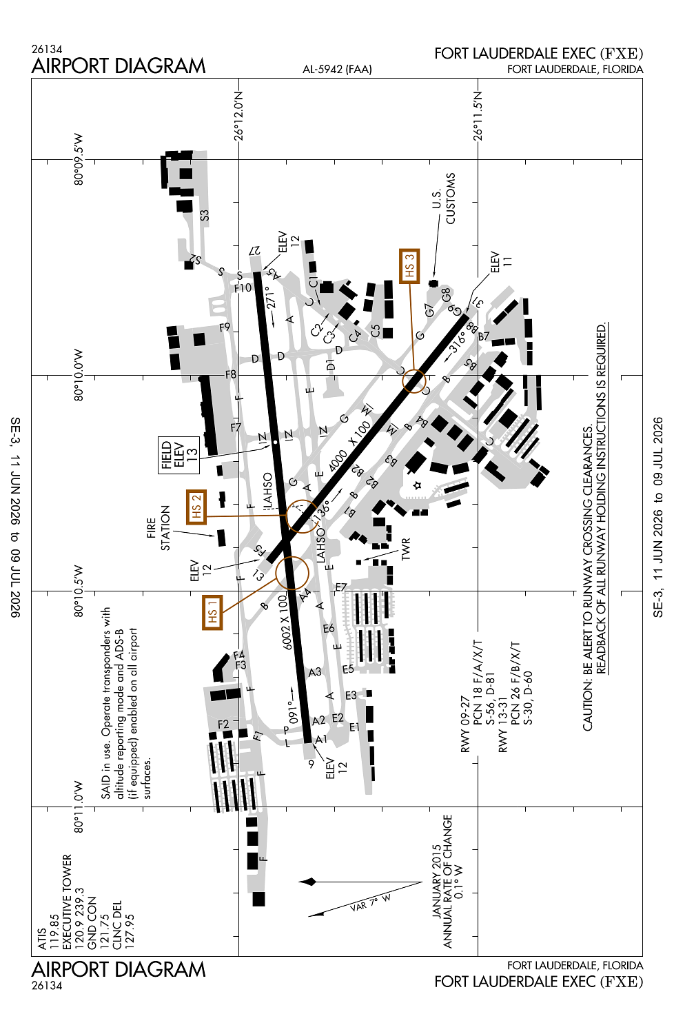
Runway 09/27:
6,002ft
Runway 13/31:
4,000ft
Access: Open to the public
Similar Airports
Current Weather — VFR
-
Weather data is strictly informational and not for flight planning purposes.
-
METAR2026-07-14 13:53:00 EDT
Ceiling: Sky clear Wind: 110° @ 8kt Temperature: 93°F Dewpoint: 73°F Weather: N/A Visbility: 10SM Raw:METAR KFXE 141753Z 11008KT 10SM CLR 34/23 A3011 RMK AO2 SLP200 T03390228 10344 20289 58004 -
TAF2026-07-14 14:00:00 EDT – 2026-07-14 22:00:00 EDT
Ceiling: Sky clear Wind: 130° @ 10kt Weather: N/A Visbility: 6SM Clouds: Scattered @ 4,000ft, Scattered @ 25,000ft Raw:TAF KFXE 141734Z 1418/1518 13010KT P6SM SCT040 SCT250 FM150200 VRB04KT P6SM FEW040 FEW050 SCT100 FM151600 08008KT P6SM SCT030 SCT050 -
TAF2026-07-14 22:00:00 EDT – 2026-07-15 12:00:00 EDT
Ceiling: Sky clear Wind: Variable Weather: N/A Visbility: 6SM Clouds: Few @ 4,000ft, Few @ 5,000ft, Scattered @ 10,000ft Raw:TAF KFXE 141734Z 1418/1518 13010KT P6SM SCT040 SCT250 FM150200 VRB04KT P6SM FEW040 FEW050 SCT100 FM151600 08008KT P6SM SCT030 SCT050 -
TAF2026-07-15 12:00:00 EDT – 2026-07-15 14:00:00 EDT
Ceiling: Sky clear Wind: 080° @ 8kt Weather: N/A Visbility: 6SM Clouds: Scattered @ 3,000ft, Scattered @ 5,000ft Raw:TAF KFXE 141734Z 1418/1518 13010KT P6SM SCT040 SCT250 FM150200 VRB04KT P6SM FEW040 FEW050 SCT100 FM151600 08008KT P6SM SCT030 SCT050
Click/tap to add an annotation marker to the map
No webcams added yet.
Remarks
- This airport has been surveyed by the national geodetic survey.
- Portions of ry 31 run-up area(west of twy 'b')are not visible from the atct.
- Flocks of birds on & invof arpt.
- All acft operators avoid overflights of residential area one-half mile sw of atct.
- Taxilane 'c'(sw of twy 'b') is a non-controlled operational area.
Comments