Pirep is a free, collaborative database of all public and private airports. All pilots are welcome to contribute their local knowledge to any airport, no registration required.


Public
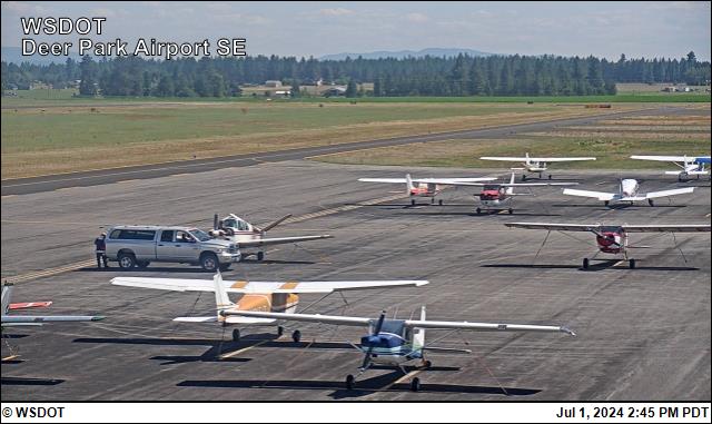
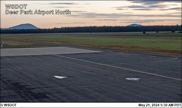
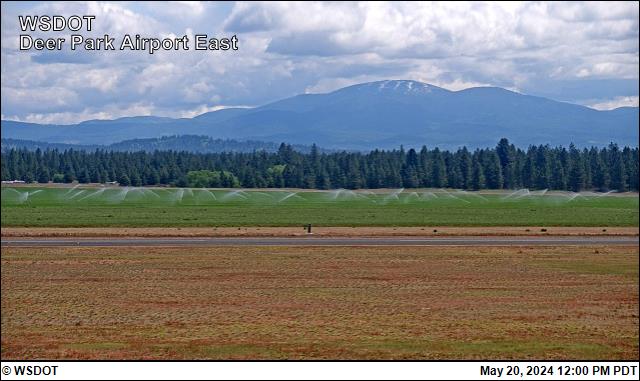
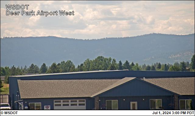
Webcam
METAR / TAF
Edit Tags
No upcoming events. Is anything happening here soon?
Last updated: 2023-10-02 13:09:03 PDT
Last updated: 2023-10-02 13:09:03 PDT
Airport Statistics
- Tags
- Airport photos
- Crew car availability
Location:
Deer Park, WA
Elevation:
2,210ft
Sectional:
Seattle
Activation date:
Dec 1943
Fuel:
100LL, A
Runway 16/34:
6,101ft
Runway 05/23:
3,200ft
Access: Open to the public
Current Weather — LIFR
-
Weather data is strictly informational and not for flight planning purposes.
-
METAR2026-11-20 13:16:00 PST
Ceiling: 200ft Wind: 210° @ 3kt Temperature: 30°F Dewpoint: 30°F Weather: Mist Visbility: 5SM Clouds: Overcast @ 200ft Raw:SPECI KDEW 202116Z AUTO 21003KT 5SM BR OVC002 M01/M01 A2995 RMK AO2 T10061011
Click/tap to add an annotation marker to the map
Remarks
- Estabd prior to 1959.
- Model airplane activity on arpt.
- Coyotes on and invof runways.
- Ry 05/23 heavy glider activity on weekends.
- Farming opn active on land adjacent to rys.
- Noise abatement procedures in effect ctc amgr 509-276-3379.
- Ry 16 preferred calm wind ry.
- 175 ft tower 2000 ft w of ry 16/34.
Comments