Pirep is a free, collaborative database of all public and private airports. All pilots are welcome to contribute their local knowledge to any airport, no registration required.
No upcoming events. Is anything happening here soon?
Last updated: 2024-07-01 19:31:24 PDT
Airport Statistics
- Airport map annotations
- Crew car availability
- Fuel pump location
Location:
Clearwater, OR
Elevation:
3,361ft
Sectional:
Klamath Falls
Fuel:
None
Runway 11/29:
5,350ft
Access: Open to the public
Similar Airports
Click/tap to add an annotation marker to the map
No webcams added yet.
Remarks
- Ry 11/29 has +120 ft trees 250 ft either side of cntrln.
- Arpt clsd from 01 nov until 01 may.
- Elk, deer and turkey on and invof arpt.
- Trees 4-30' along south side of ry within 50' of cntrln.
- For cd ctc seattle artcc at 253-351-3694.
- Sfc conds not rprtd.
- Graded; 60 ft wide; shoulders rough & rutted.
- Ry 11/29 thlds outlined with white tires.
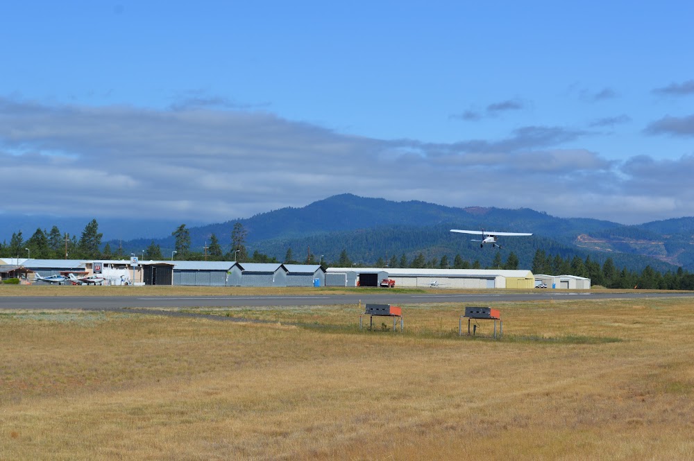
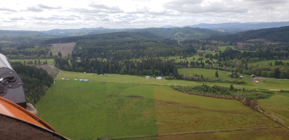
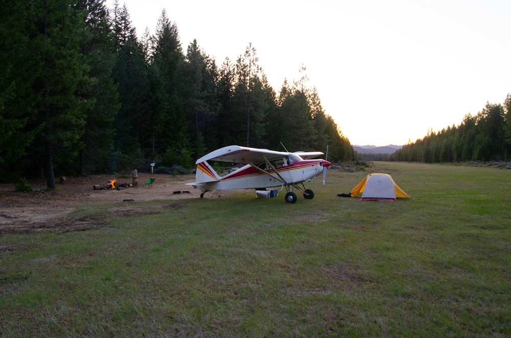
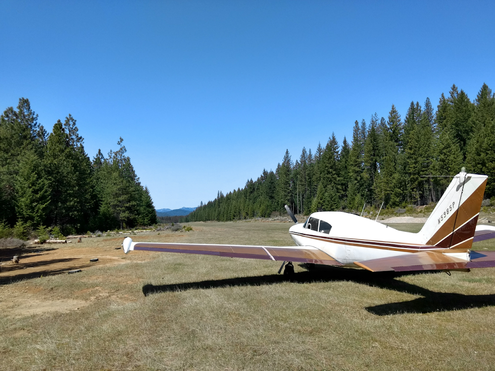
Came here in a C-172 to camp overnight. The grass was fairly tall and affected our landing/take-off roll. After landing, I would suggest walking the field and seekng where the humps and bumps are. If you know where they are, they can be easily avoided. The campsites are great but no water, unless you want to walk the road/path in a westerly direction to the creek. A shorter route would be to bushwack to the south. I would strongly recommend this place. If you are heavily loaded, however, wait until cooler temps in the am. The strip is long (5k+) but will be quickly eaten up by the altitude, warm temps and friction from the taller grass.