Pirep is a free, collaborative database of all public and private airports. All pilots are welcome to contribute their local knowledge to any airport, no registration required.
No upcoming events. Is anything happening here soon?
Last updated: 2023-05-25 03:01:06 EDT
Last updated: 2024-01-09 00:26:29 EST
Airport Statistics
- WiFi availability
- Crew car availability
- Transient parking location
Location:
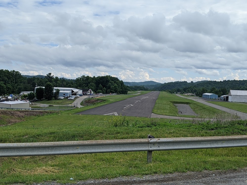
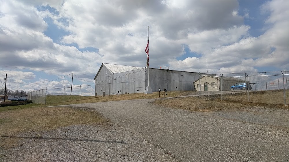
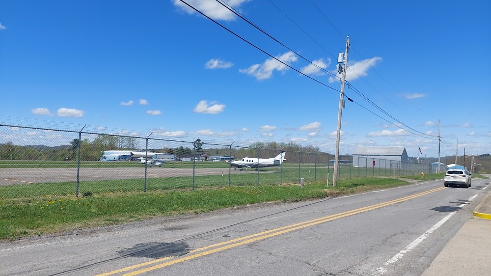
Fairmont, WV
Elevation:
1,032ft
Sectional:
Cincinnati
Activation date:
Sep 1970
Fuel:
100LL (prices)
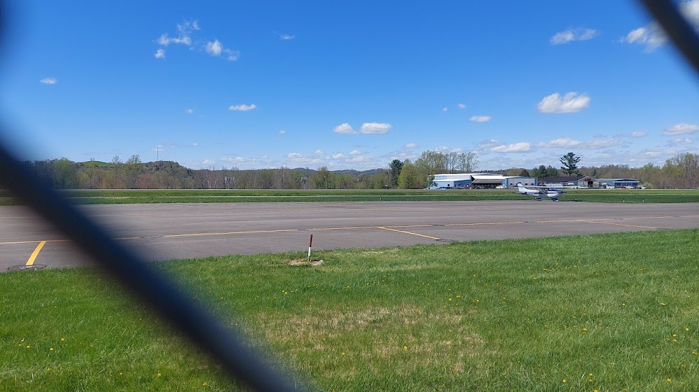
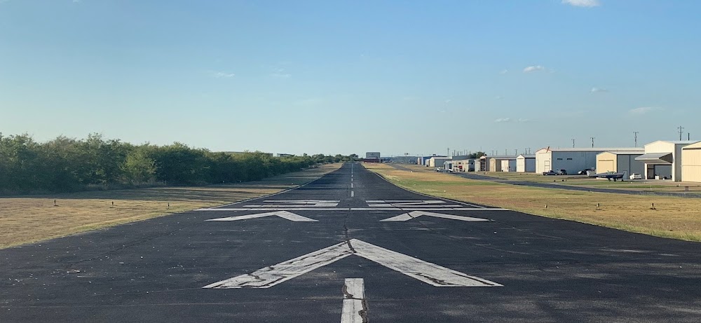
Runway 05/23:
2,965ft
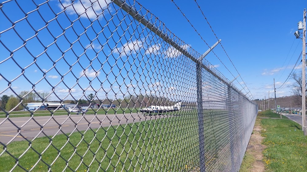
Access: Open to the public
Similar Airports
Click/tap to add an annotation marker to the map
No webcams added yet.
Remarks
- Radio towers aprx 300' agl 2 miles ne and 2.5 miles nw of arpt.
- Deer on & invof arpt.
- Rwy 23 has 100 ft drop off, ne end.
- Rwy 5 has +30 ft hill at sw end.
- For cd ctc clarksburg apch at 304-842-2011, when apch clsd ctc cleveland artcc at 440-774-0226.
- Actvt reil rwy 23; mirl rwy 5/23 - ctaf.
- 304-612-4015 mgr cell
- Apch ratio o:1 at dsplcd thld ovr 6 ft fence, 0 ft dstc, 130 ft l. also 15 ft trees, 270 ft distc 70 ft l/r.
Comments