Pirep is a free, collaborative database of all public and private airports. All pilots are welcome to contribute their local knowledge to any airport, no registration required.

No upcoming events. Is anything happening here soon?
Last updated: 2023-06-01 19:39:02 PDT
Last updated: 2024-01-10 18:27:52 PST
Airport Statistics
- Transient parking location
- WiFi availability
- Landing & tie-down fees
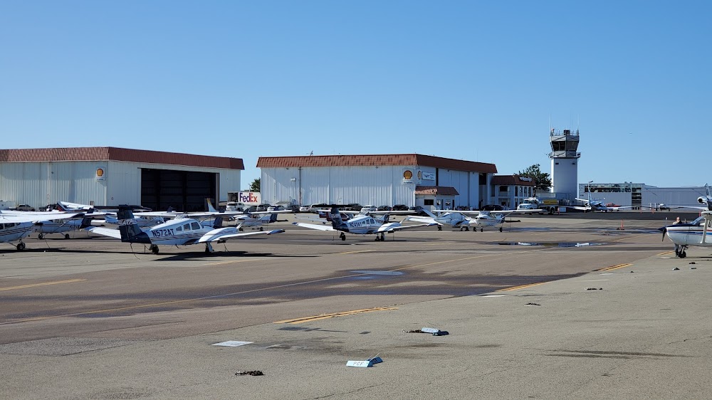
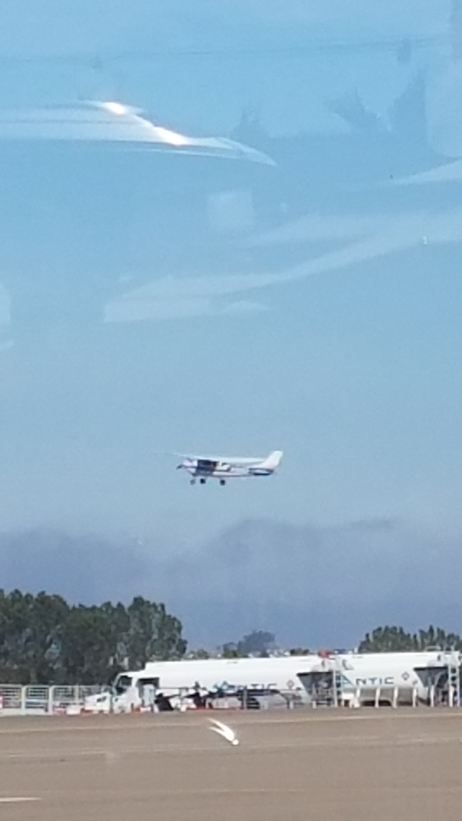
Location:
Carlsbad, CA
Elevation:
330ft
Sectional:
Los Angeles
Activation date:
May 1959
Fuel:
100LL, A (prices)
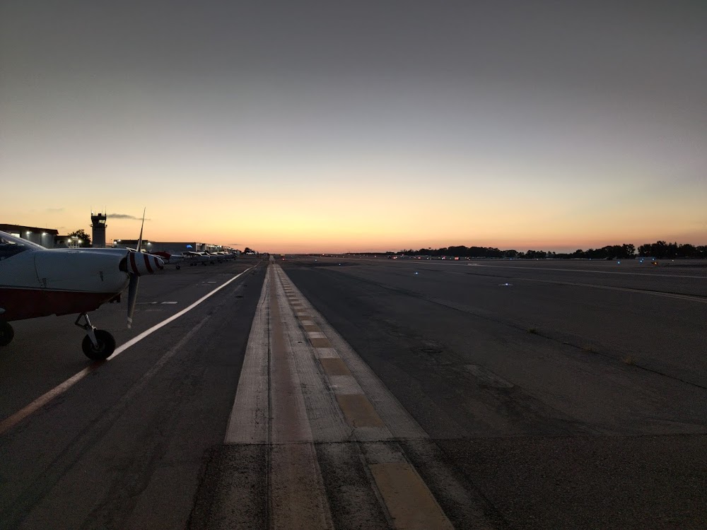
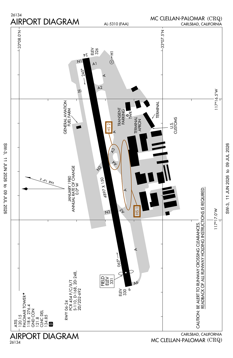
Runway 06/24:
4,897ft
Runway H1:
40ft
Access: Open to the public
Similar Airports

Current Weather — MVFR
-
Weather data is strictly informational and not for flight planning purposes.
-
METAR2026-07-29 06:53:00 PDT
Ceiling: 1,400ft Wind: 210° @ 3kt Temperature: 68°F Dewpoint: 62°F Weather: N/A Visbility: 10SM Clouds: Overcast @ 1,400ft Raw:METAR KCRQ 291353Z 21003KT 10SM OVC014 20/17 A2988 RMK AO2 SLP114 T02000167 -
TAF2026-07-29 05:00:00 PDT – 2026-07-29 09:00:00 PDT
Ceiling: 1,100ft Wind: Variable Weather: N/A Visbility: 6SM Clouds: Overcast @ 1,100ft Raw:TAF KCRQ 291210Z 2912/3012 VRB04KT P6SM OVC011 FM291600 VRB04KT P6SM BKN010 FM291800 23008KT P6SM SCT015 FM300300 VRB04KT P6SM OVC008 -
TAF2026-07-29 09:00:00 PDT – 2026-07-29 11:00:00 PDT
Ceiling: 1,000ft Wind: Variable Weather: N/A Visbility: 6SM Clouds: Broken @ 1,000ft Raw:TAF KCRQ 291210Z 2912/3012 VRB04KT P6SM OVC011 FM291600 VRB04KT P6SM BKN010 FM291800 23008KT P6SM SCT015 FM300300 VRB04KT P6SM OVC008 -
TAF2026-07-29 11:00:00 PDT – 2026-07-29 20:00:00 PDT
Ceiling: Sky clear Wind: 230° @ 8kt Weather: N/A Visbility: 6SM Clouds: Scattered @ 1,500ft Raw:TAF KCRQ 291210Z 2912/3012 VRB04KT P6SM OVC011 FM291600 VRB04KT P6SM BKN010 FM291800 23008KT P6SM SCT015 FM300300 VRB04KT P6SM OVC008 -
TAF2026-07-29 20:00:00 PDT – 2026-07-30 05:00:00 PDT
Ceiling: 800ft Wind: Variable Weather: N/A Visbility: 6SM Clouds: Overcast @ 800ft Raw:TAF KCRQ 291210Z 2912/3012 VRB04KT P6SM OVC011 FM291600 VRB04KT P6SM BKN010 FM291800 23008KT P6SM SCT015 FM300300 VRB04KT P6SM OVC008
Click/tap to add an annotation marker to the map
No webcams added yet.
Remarks
- This airport has been surveyed by the national geodetic survey.
- Closed to air carrier opns with more than 9 passenger seats fm 2230 to 0600 except by ppr call amgr 760-431-4646.
- Arpt has noise abatement procedures contact amgr 760-431-4646.
- Multiple apchs by large acft (including large hel) not authorized.
- No jet acft trng due to noise abatement and tfc congestion.
Comments