Pirep is a free, collaborative database of all public and private airports. All pilots are welcome to contribute their local knowledge to any airport, no registration required.


No upcoming events. Is anything happening here soon?
Last updated: 2023-04-07 20:32:31 PDT
Last updated: 2024-01-08 21:29:57 PST
Airport Statistics
- Crew car availability
- Webcam links
- Fuel pump location
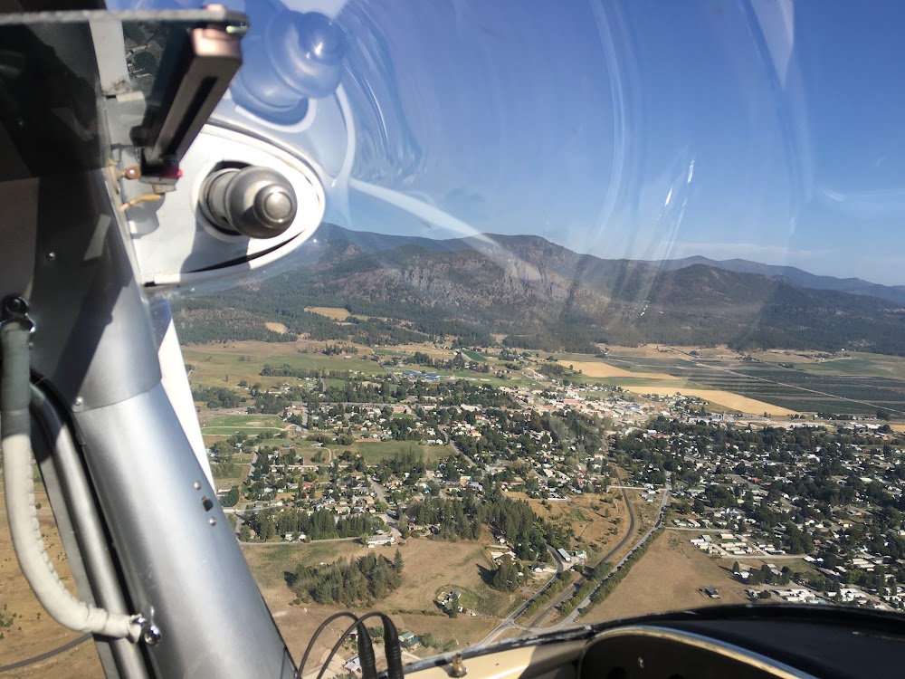
Location:
Hood River, OR
Elevation:
638ft
Sectional:
Seattle
Activation date:
Aug 1945
Fuel:
100LL (prices)
Runway 07/25:
3,040ft
Access: Open to the public
Similar Airports
Click/tap to add an annotation marker to the map
No webcams added yet.
Remarks
- Est prior to 1959.
- Frequent vehicular tfc aer 7.
- Blue exit lgts at 3 turnoffs.
- For cd ctc seattle artcc at 253-351-3694.
- Hood river arpt is a noise sens area. pls flw the fly friendly signs at rwy ends and avoid low flt.
- Actvt mirl ry 07/25; reil rwy 25 - ctaf.
- Gldrs use rp rwy 07/25. crosswinds can produce extreme low level turb & unexpcd wind currents. turf rwy avbl in grass median north of prim rwy, not to be used simul with paved rwy.
- Calm wind rwy.
Comments