Pirep is a free, collaborative database of all public and private airports. All pilots are welcome to contribute their local knowledge to any airport, no registration required.
Upcoming Events
-
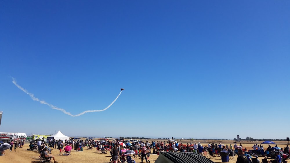
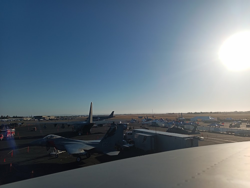
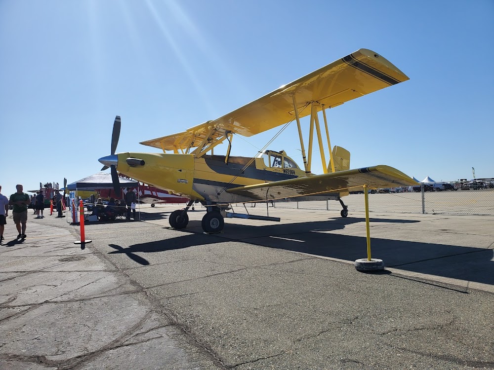
Sat, Oct 10 2026 9:00am – Sun, Oct 11 2026 5:00pm
- Event webpage: https://californiacapitalairshow.com/
Last updated: 2024-02-25 21:54:28 PST
Airport Statistics
- Webcam links
- General description
- Crew car availability
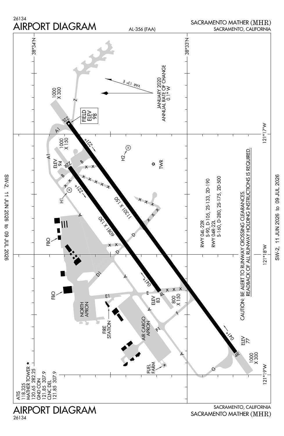
Location:
Sacramento, CA
Elevation:
98ft
Sectional:
San Francisco
Activation date:
Jul 1942
Fuel:
100LL, A (prices)
Runway 04R/22L:
11,301ft
Runway 04L/22R:
6,081ft
Runway H2:
100ft
Runway H1:
30ft
Access: Open to the public
Similar Airports
Current Weather — VFR
-
Weather data is strictly informational and not for flight planning purposes.
-
METAR2026-07-21 06:15:00 PDT
Ceiling: Sky clear Wind: 140° @ 4kt Temperature: 67°F Dewpoint: 50°F Weather: N/A Visbility: 9SM Raw:METAR KMHR 211315Z AUTO 14004KT 9SM CLR 20/10 A2986 RMK AO2 T01990104 $ -
TAF2026-07-21 05:00:00 PDT – 2026-07-21 15:00:00 PDT
Ceiling: 25,000ft Wind: Variable Weather: N/A Visbility: 6SM Clouds: Broken @ 25,000ft Raw:TAF KMHR 211123Z 2112/2212 VRB05KT P6SM BKN250 FM212200 23009KT P6SM BKN250 FM220500 19008KT P6SM FEW250 FM220700 16005KT P6SM SKC -
TAF2026-07-21 15:00:00 PDT – 2026-07-21 22:00:00 PDT
Ceiling: 25,000ft Wind: 230° @ 9kt Weather: N/A Visbility: 6SM Clouds: Broken @ 25,000ft Raw:TAF KMHR 211123Z 2112/2212 VRB05KT P6SM BKN250 FM212200 23009KT P6SM BKN250 FM220500 19008KT P6SM FEW250 FM220700 16005KT P6SM SKC -
TAF2026-07-21 22:00:00 PDT – 2026-07-22 00:00:00 PDT
Ceiling: Sky clear Wind: 190° @ 8kt Weather: N/A Visbility: 6SM Clouds: Few @ 25,000ft Raw:TAF KMHR 211123Z 2112/2212 VRB05KT P6SM BKN250 FM212200 23009KT P6SM BKN250 FM220500 19008KT P6SM FEW250 FM220700 16005KT P6SM SKC -
TAF2026-07-22 00:00:00 PDT – 2026-07-22 05:00:00 PDT
Ceiling: Sky clear Wind: 160° @ 5kt Weather: N/A Visbility: 6SM Clouds: @ ft Raw:TAF KMHR 211123Z 2112/2212 VRB05KT P6SM BKN250 FM212200 23009KT P6SM BKN250 FM220500 19008KT P6SM FEW250 FM220700 16005KT P6SM SKC
Click/tap to add an annotation marker to the map
No webcams added yet.
Remarks
- No objection
- Ry 22l calm wind ry.
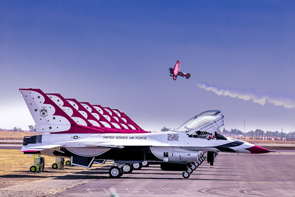
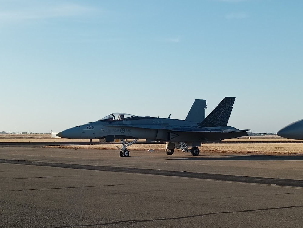
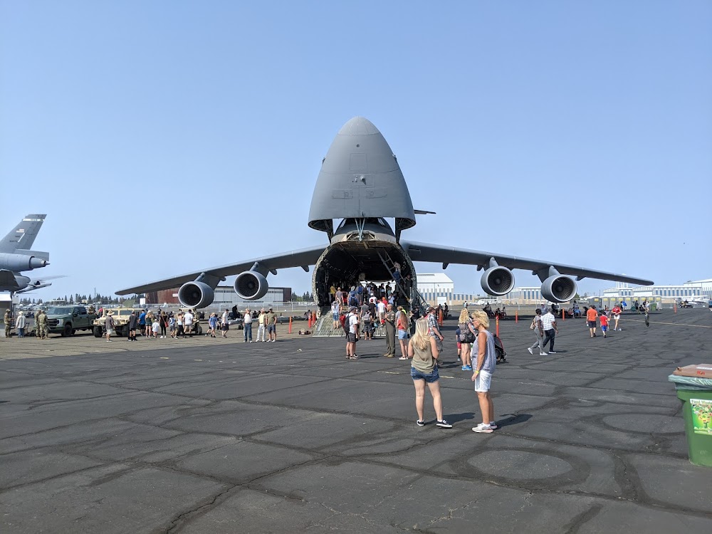
- Be alert for large transport acft tkofs & lndgs and high performance military t-38 jets.
- Avoid noise sensitive residential areas north/east of ry 22l ils final apch course. turbojet nighttime noise abatement arrival and departure procedures in effect 2200-0700 daily.
- Pilot information on noise abatement (916) 874-0359.
Comments