Pirep is a free, collaborative database of all public and private airports. All pilots are welcome to contribute their local knowledge to any airport, no registration required.
No upcoming events. Is anything happening here soon?
Last updated: 2023-11-11 01:43:08 MST
Airport Statistics
- Airport map annotations
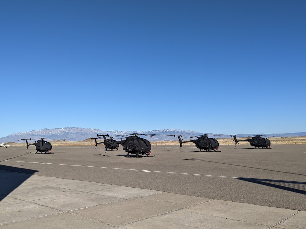
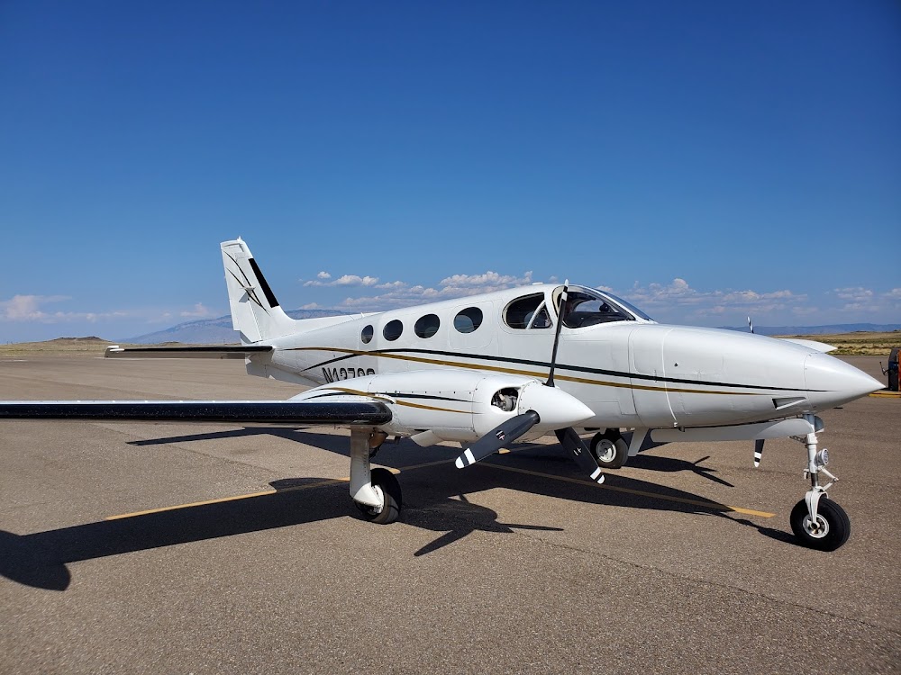
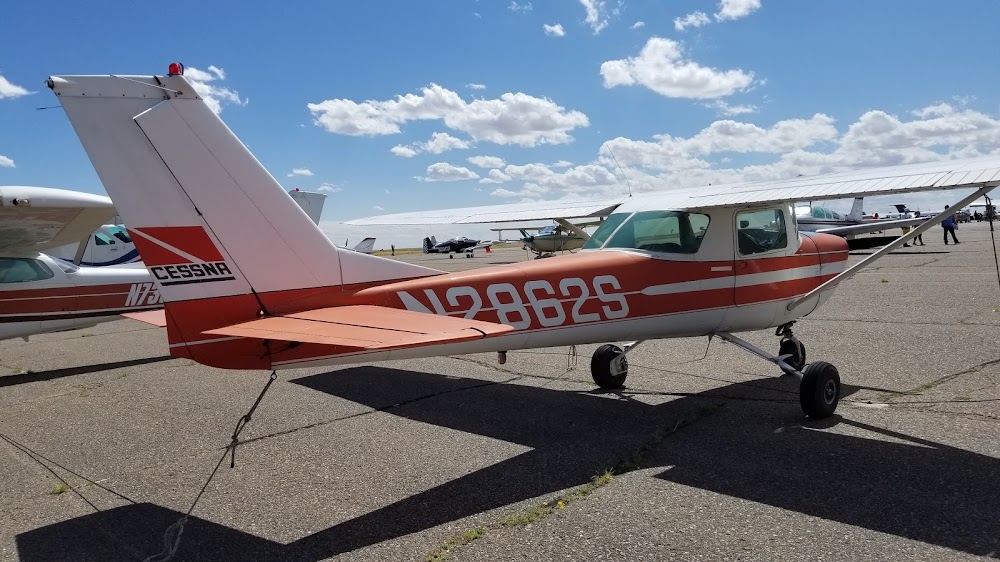
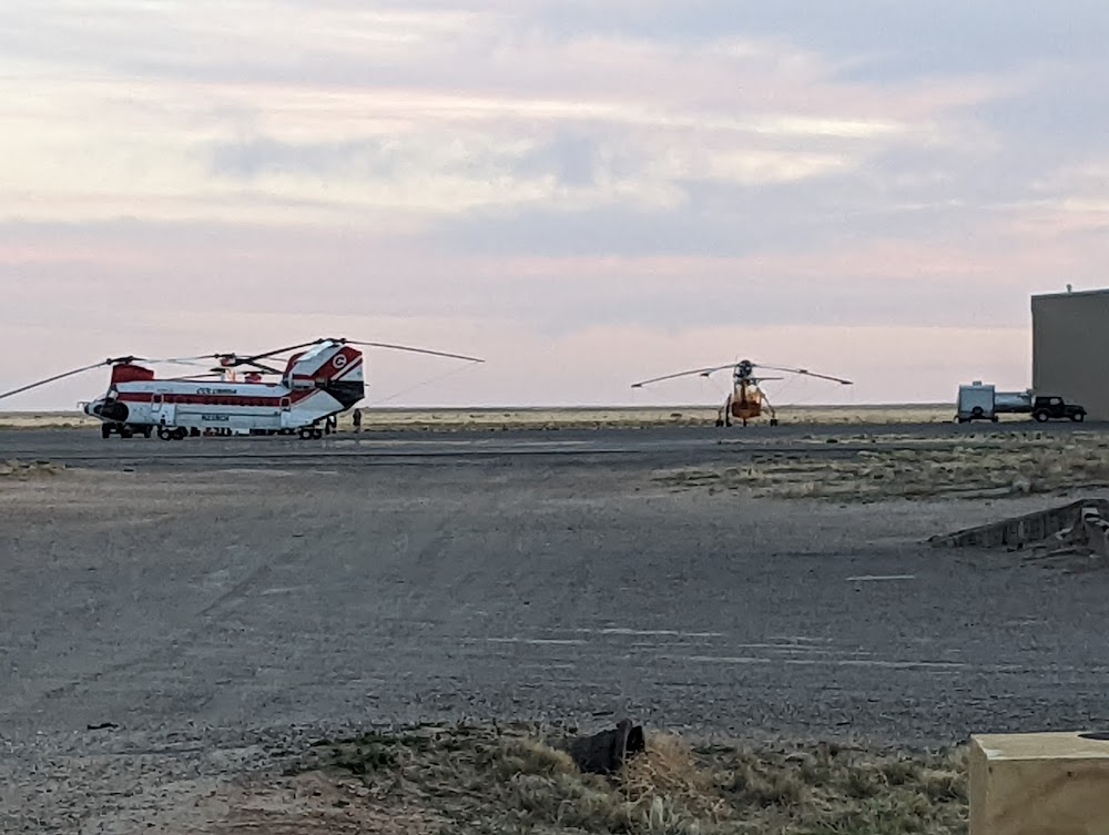
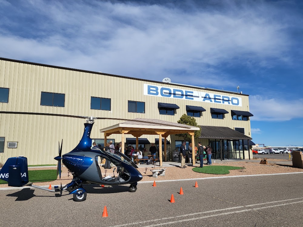
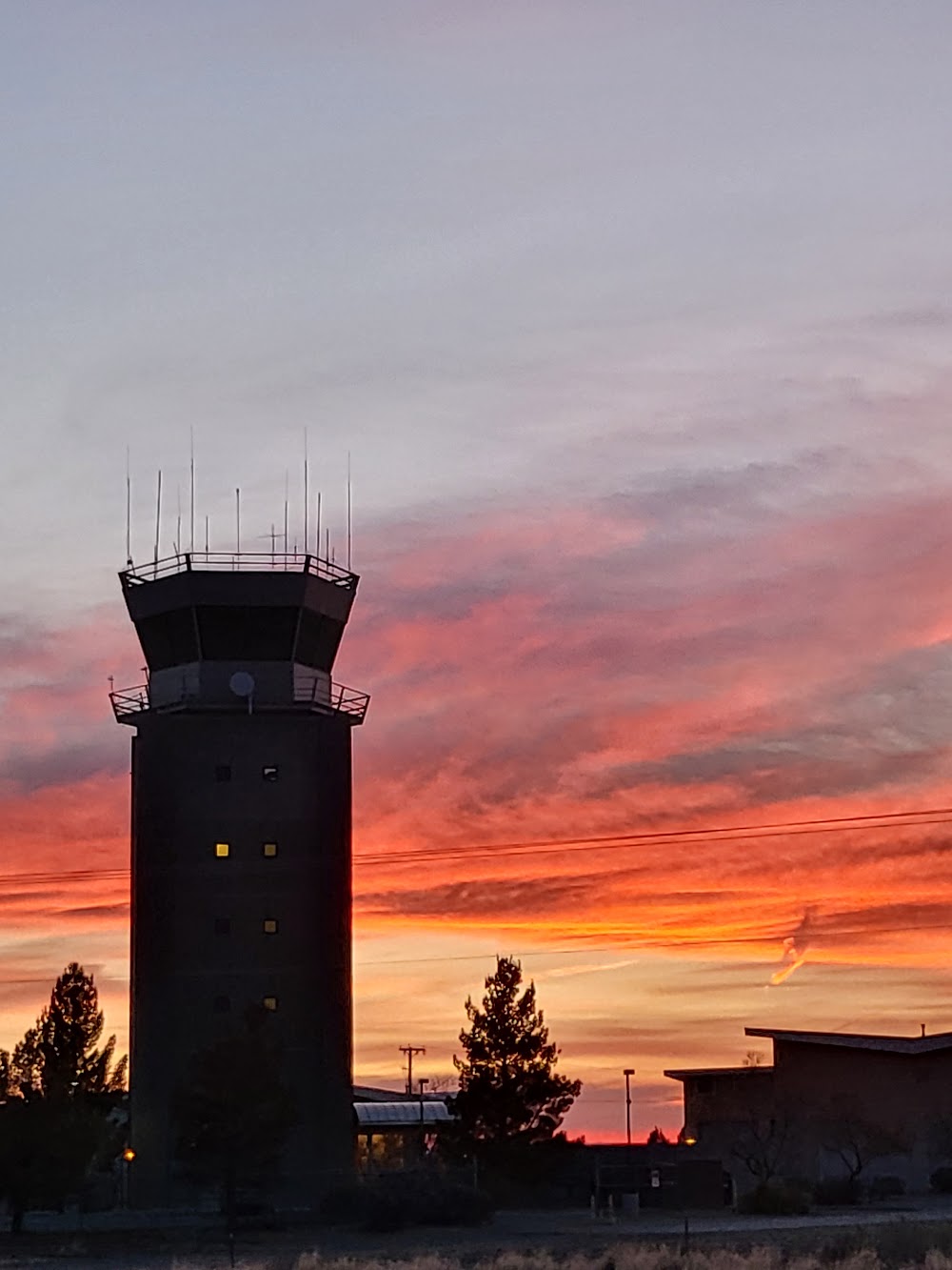
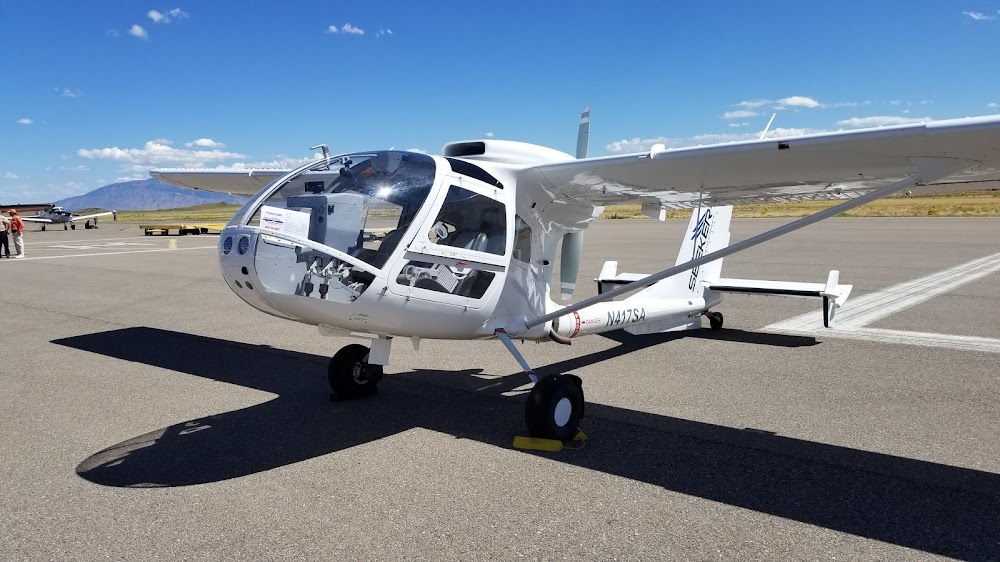
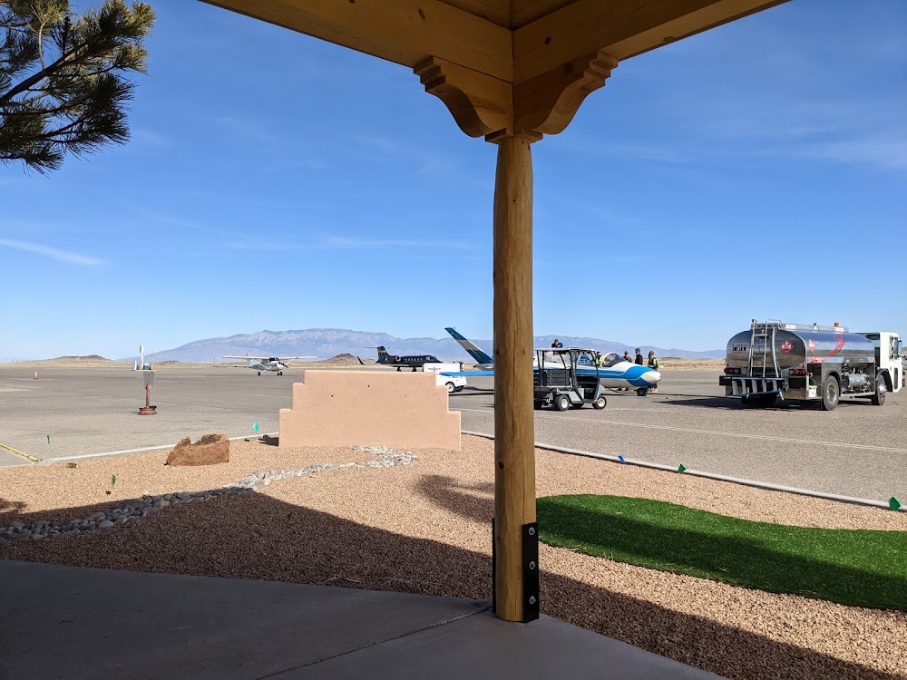
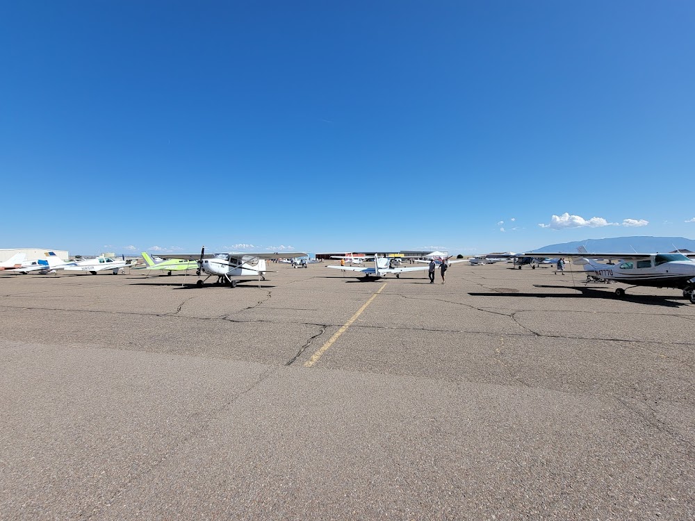
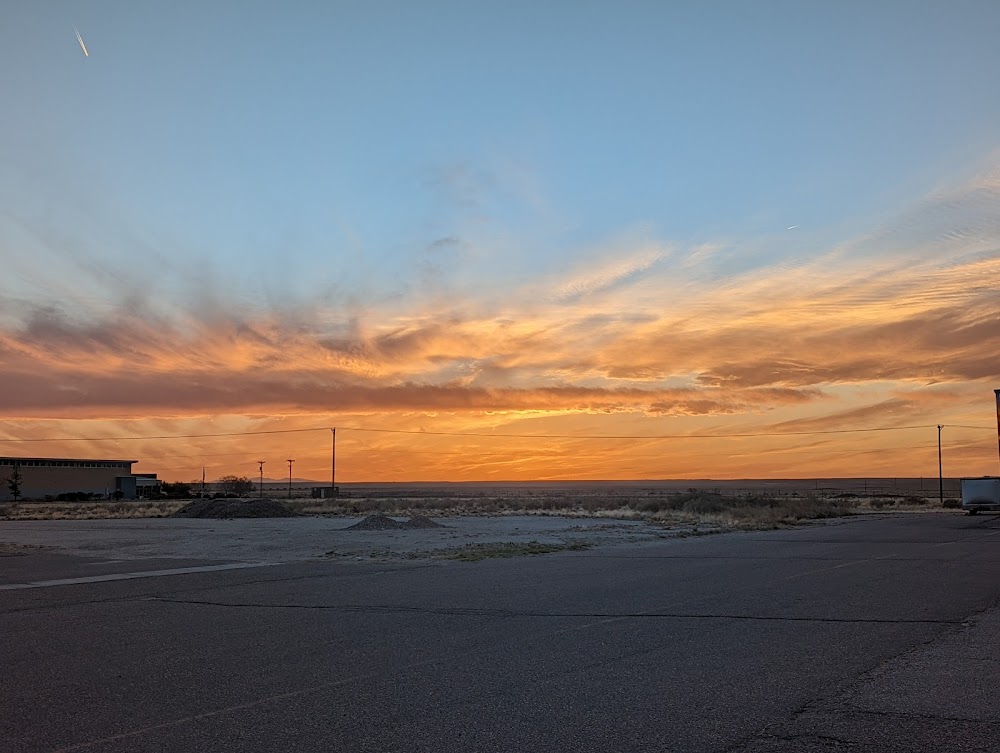
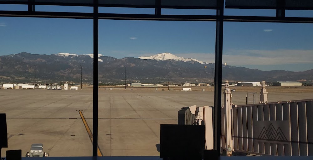
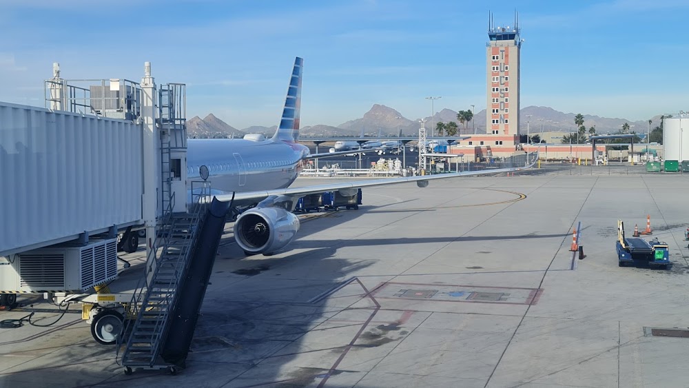
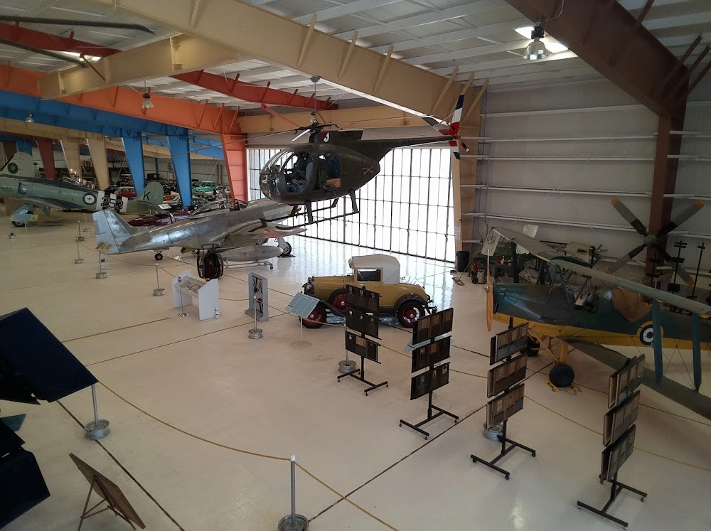
- Airport photos
- Webcam links
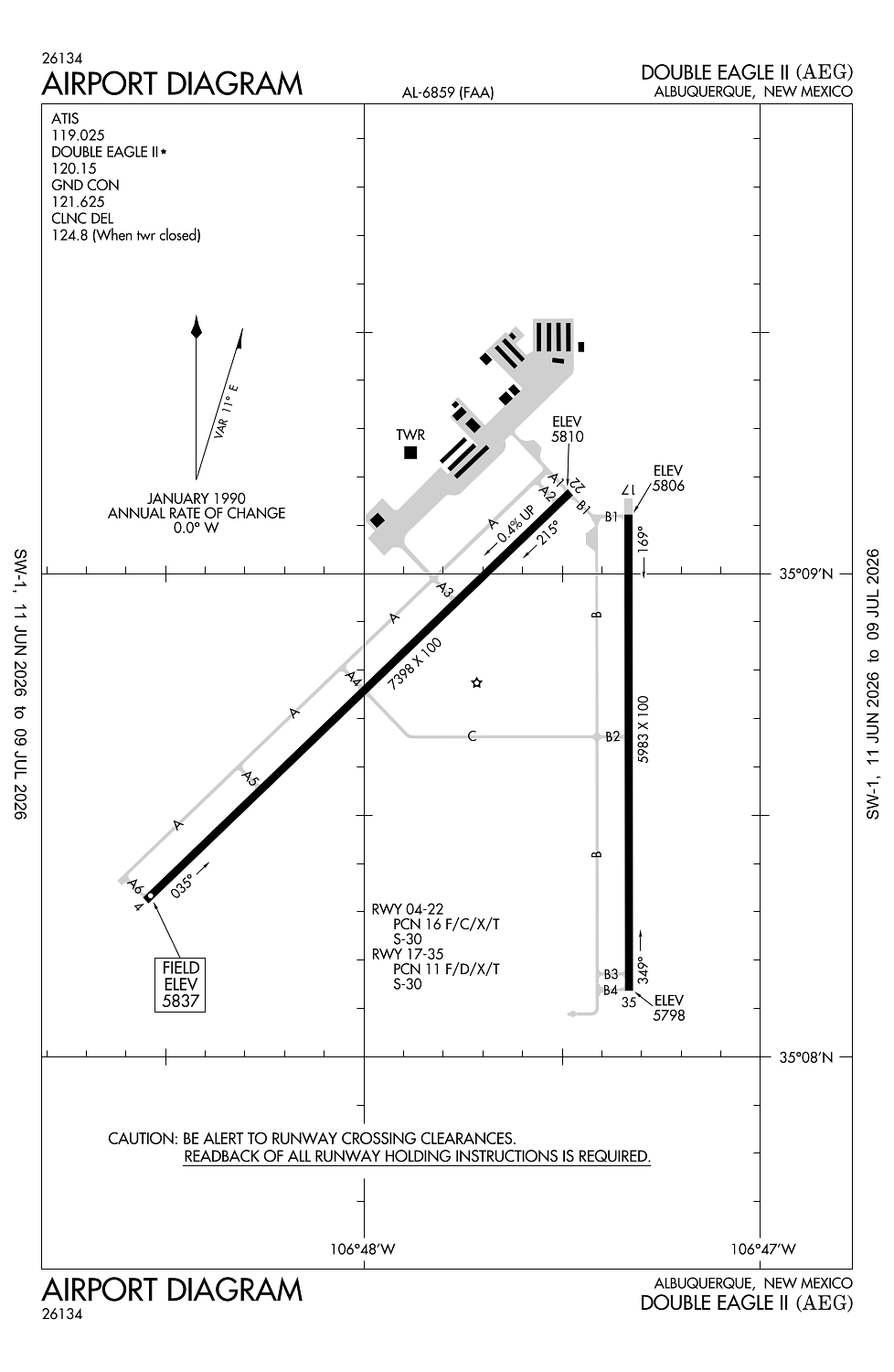
Location:
Albuquerque, NM
Elevation:
5,837ft
Sectional:
Albuquerque
Activation date:
Aug 1983
Fuel:
100LL, A1 (prices)
Runway 04/22:
7,398ft
Runway 17/35:
5,983ft
Access: Open to the public
Similar Airports
Current Weather — VFR
-
Weather data is strictly informational and not for flight planning purposes.
-
METAR2026-07-21 05:10:00 MDT
Ceiling: Sky clear Wind: Calm Temperature: 65°F Dewpoint: 57°F Weather: N/A Visbility: 10SM Clouds: Scattered @ 9,000ft Raw:METAR KAEG 211110Z AUTO 00000KT 10SM SCT090 19/14 A3018 RMK AO2 T01850140 -
TAF2026-07-21 06:00:00 MDT – 2026-07-21 12:00:00 MDT
Ceiling: Sky clear Wind: Variable Weather: N/A Visbility: 6SM Clouds: Few @ 10,000ft Raw:TAF KAEG 211128Z 2112/2212 VRB06KT P6SM FEW100 FM211800 13010KT P6SM SCT100 FM212000 13012G18KT P6SM BKN100 PROB30 2121/2124 VRB15G30KT -TSRA BKN090CB FM220200 15010KT P6SM BKN100 FM220700 VRB04KT P6SM SCT100 -
TAF2026-07-21 12:00:00 MDT – 2026-07-21 14:00:00 MDT
Ceiling: Sky clear Wind: 130° @ 10kt Weather: N/A Visbility: 6SM Clouds: Scattered @ 10,000ft Raw:TAF KAEG 211128Z 2112/2212 VRB06KT P6SM FEW100 FM211800 13010KT P6SM SCT100 FM212000 13012G18KT P6SM BKN100 PROB30 2121/2124 VRB15G30KT -TSRA BKN090CB FM220200 15010KT P6SM BKN100 FM220700 VRB04KT P6SM SCT100 -
TAF2026-07-21 14:00:00 MDT – 2026-07-21 20:00:00 MDT
Ceiling: 10,000ft Wind: 130° @ 12kt, gusts 18kt Weather: N/A Visbility: 6SM Clouds: Broken @ 10,000ft Raw:TAF KAEG 211128Z 2112/2212 VRB06KT P6SM FEW100 FM211800 13010KT P6SM SCT100 FM212000 13012G18KT P6SM BKN100 PROB30 2121/2124 VRB15G30KT -TSRA BKN090CB FM220200 15010KT P6SM BKN100 FM220700 VRB04KT P6SM SCT100 -
TAF2026-07-21 15:00:00 MDT – 2026-07-21 18:00:00 MDT
Ceiling: 9,000ft Wind: Variable, gusts 30kt Weather: Light thunderstorm rain Visbility: SM Clouds: Broken @ 9,000ft Raw:TAF KAEG 211128Z 2112/2212 VRB06KT P6SM FEW100 FM211800 13010KT P6SM SCT100 FM212000 13012G18KT P6SM BKN100 PROB30 2121/2124 VRB15G30KT -TSRA BKN090CB FM220200 15010KT P6SM BKN100 FM220700 VRB04KT P6SM SCT100 -
TAF2026-07-21 20:00:00 MDT – 2026-07-22 01:00:00 MDT
Ceiling: 10,000ft Wind: 150° @ 10kt Weather: N/A Visbility: 6SM Clouds: Broken @ 10,000ft Raw:TAF KAEG 211128Z 2112/2212 VRB06KT P6SM FEW100 FM211800 13010KT P6SM SCT100 FM212000 13012G18KT P6SM BKN100 PROB30 2121/2124 VRB15G30KT -TSRA BKN090CB FM220200 15010KT P6SM BKN100 FM220700 VRB04KT P6SM SCT100 -
TAF2026-07-22 01:00:00 MDT – 2026-07-22 06:00:00 MDT
Ceiling: Sky clear Wind: Variable Weather: N/A Visbility: 6SM Clouds: Scattered @ 10,000ft Raw:TAF KAEG 211128Z 2112/2212 VRB06KT P6SM FEW100 FM211800 13010KT P6SM SCT100 FM212000 13012G18KT P6SM BKN100 PROB30 2121/2124 VRB15G30KT -TSRA BKN090CB FM220200 15010KT P6SM BKN100 FM220700 VRB04KT P6SM SCT100
Click/tap to add an annotation marker to the map
No webcams added yet.
Remarks
- Wildlife on and invof arpt.
- Live fire range 1.6nm west of the approach end of rwy 04 avoidance advised.
- Actvt malsr rwy 22; reil rwy 17 & 35; papi rwy 04 & 17; mirl rwy 04/22 & 17/35 - ctaf.
- Call ahead for availability 505-352-0292.
- For attendant aft hrs call 505-884-4530.
Comments