Pirep is a free, collaborative database of all public and private airports. All pilots are welcome to contribute their local knowledge to any airport, no registration required.


No upcoming events. Is anything happening here soon?
Last updated: 2023-05-29 15:08:43 MDT
Last updated: 2024-02-03 12:28:19 MST
Airport Statistics
Location:
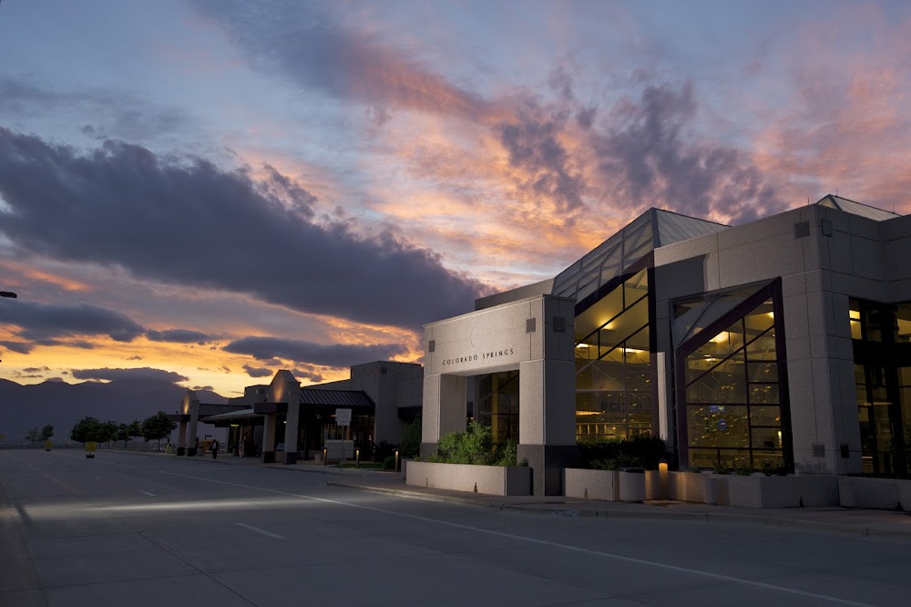
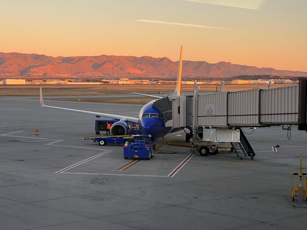
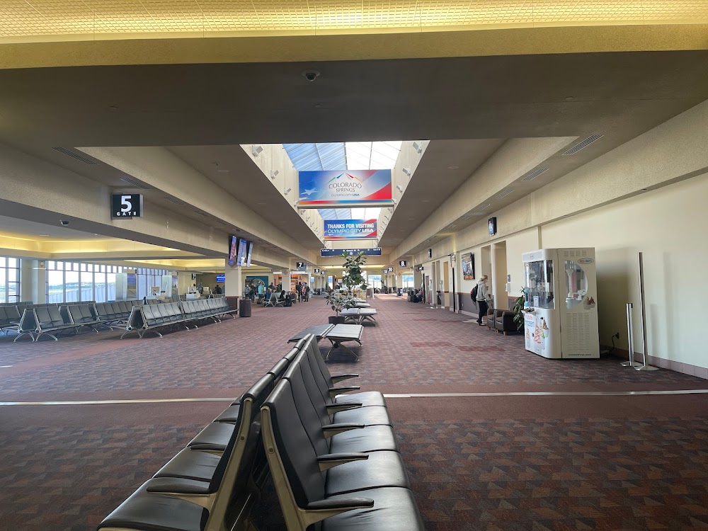
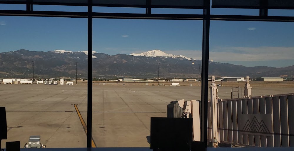
Colorado Springs, CO
Elevation:
6,187ft
Sectional:
Denver
Activation date:
Apr 1940
Fuel:
100LL, A (prices)
Runway 17L/35R:
13,500ft
Runway 17R/35L:
11,022ft
Runway 13/31:
8,270ft
Access: Open to the public
Similar Airports
Current Weather — VFR
-
Weather data is strictly informational and not for flight planning purposes.
-
METAR2026-07-24 10:54:00 MDT
Ceiling: Sky clear Wind: 050° @ 4kt Temperature: 87°F Dewpoint: 48°F Weather: N/A Visbility: 10SM Clouds: Scattered @ 9,000ft, Scattered @ 25,000ft Raw:METAR KCOS 241654Z 05004KT 10SM SCT090 SCT250 31/09 A3027 RMK AO2 SLP145 T03110094 -
TAF2026-07-24 12:00:00 MDT – 2026-07-24 16:00:00 MDT
Ceiling: Sky clear Wind: Variable Weather: N/A Visbility: 6SM Clouds: Few @ 8,000ft Raw:TAF KCOS 241727Z 2418/2518 VRB06KT P6SM FEW080 FM242200 VRB06KT P6SM SCT080 SCT150 PROB30 2422/2501 VRB20G35KT -TSRA BKN080CB FM250600 VRB04KT P6SM FEW150 FM251600 16008KT P6SM SKC -
TAF2026-07-24 16:00:00 MDT – 2026-07-25 00:00:00 MDT
Ceiling: Sky clear Wind: Variable Weather: N/A Visbility: 6SM Clouds: Scattered @ 8,000ft, Scattered @ 15,000ft Raw:TAF KCOS 241727Z 2418/2518 VRB06KT P6SM FEW080 FM242200 VRB06KT P6SM SCT080 SCT150 PROB30 2422/2501 VRB20G35KT -TSRA BKN080CB FM250600 VRB04KT P6SM FEW150 FM251600 16008KT P6SM SKC -
TAF2026-07-24 16:00:00 MDT – 2026-07-24 19:00:00 MDT
Ceiling: 8,000ft Wind: Variable, gusts 35kt Weather: Light thunderstorm rain Visbility: SM Clouds: Broken @ 8,000ft Raw:TAF KCOS 241727Z 2418/2518 VRB06KT P6SM FEW080 FM242200 VRB06KT P6SM SCT080 SCT150 PROB30 2422/2501 VRB20G35KT -TSRA BKN080CB FM250600 VRB04KT P6SM FEW150 FM251600 16008KT P6SM SKC -
TAF2026-07-25 00:00:00 MDT – 2026-07-25 10:00:00 MDT
Ceiling: Sky clear Wind: Variable Weather: N/A Visbility: 6SM Clouds: Few @ 15,000ft Raw:TAF KCOS 241727Z 2418/2518 VRB06KT P6SM FEW080 FM242200 VRB06KT P6SM SCT080 SCT150 PROB30 2422/2501 VRB20G35KT -TSRA BKN080CB FM250600 VRB04KT P6SM FEW150 FM251600 16008KT P6SM SKC -
TAF2026-07-25 10:00:00 MDT – 2026-07-25 12:00:00 MDT
Ceiling: Sky clear Wind: 160° @ 8kt Weather: N/A Visbility: 6SM Clouds: @ ft Raw:TAF KCOS 241727Z 2418/2518 VRB06KT P6SM FEW080 FM242200 VRB06KT P6SM SCT080 SCT150 PROB30 2422/2501 VRB20G35KT -TSRA BKN080CB FM250600 VRB04KT P6SM FEW150 FM251600 16008KT P6SM SKC
Click/tap to add an annotation marker to the map
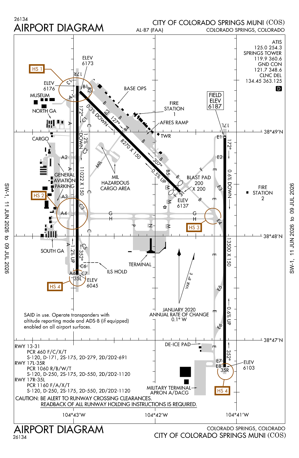
Remarks
- Includes commuters.
- Customs avbl for all mil/civilian acft. contact us customs 719-574-6607.
- Turbo jet trng flts prohibited 2300-0600.
- B52 opns prohibited.
- Lgtd wdi apch rwy 17l/35r, 17r/35l & 13/31.
Comments