Pirep is a free, collaborative database of all public and private airports. All pilots are welcome to contribute their local knowledge to any airport, no registration required.


No upcoming events. Is anything happening here soon?
Last updated: 2023-05-25 14:45:47 CDT
Airport Statistics
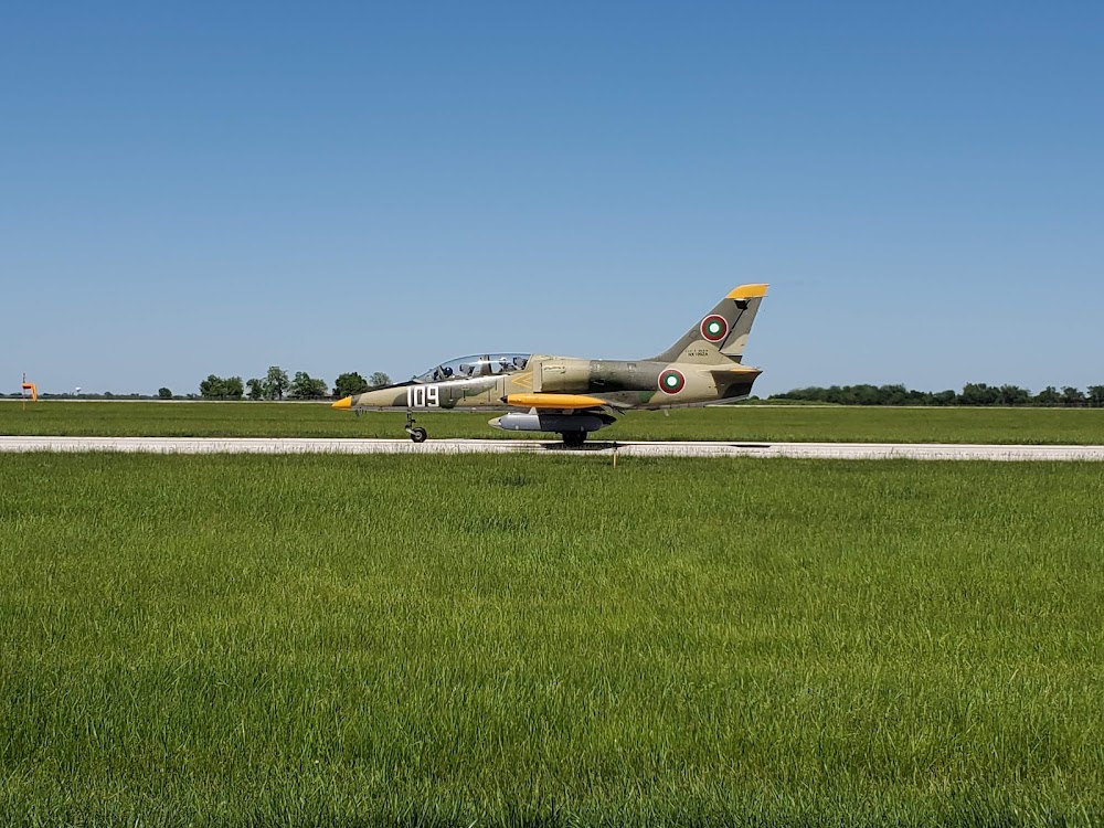
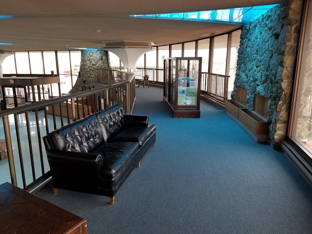
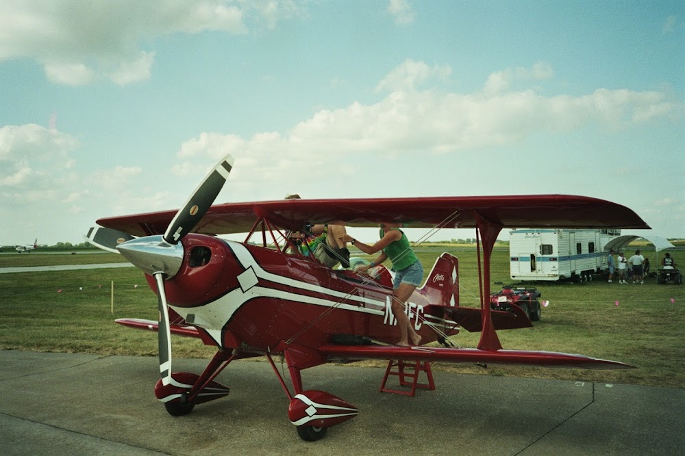
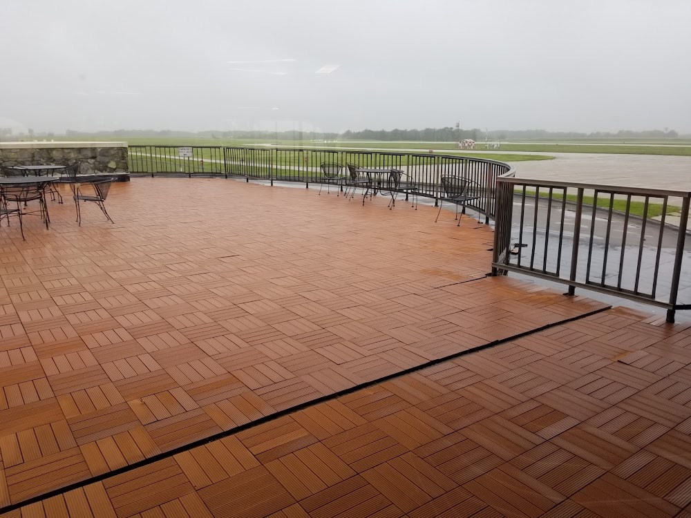
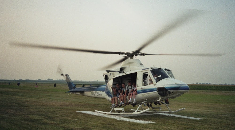
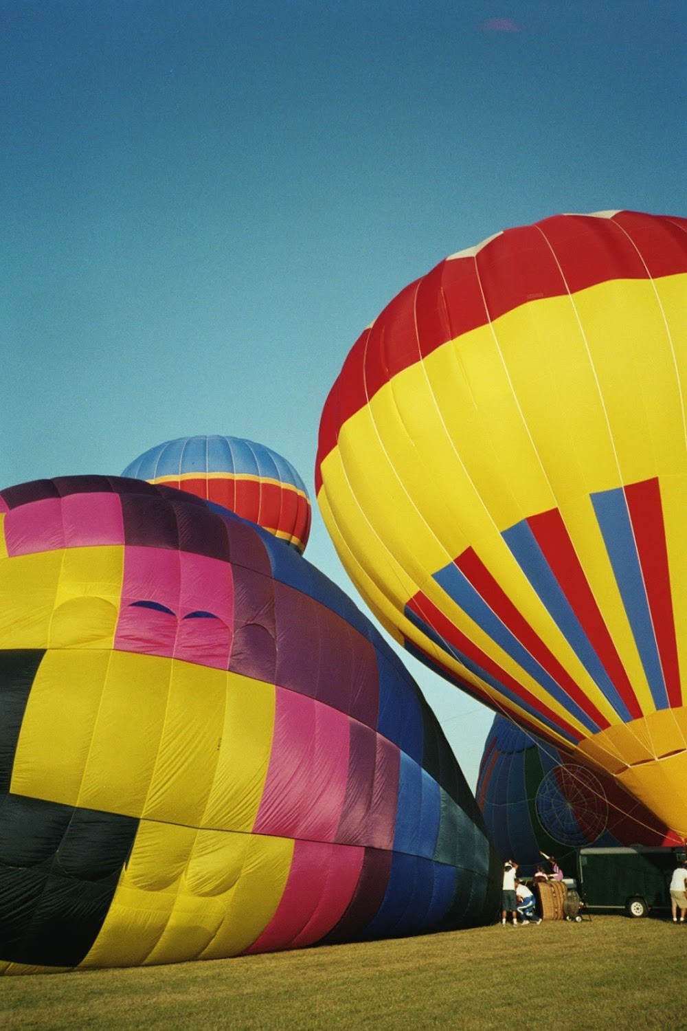
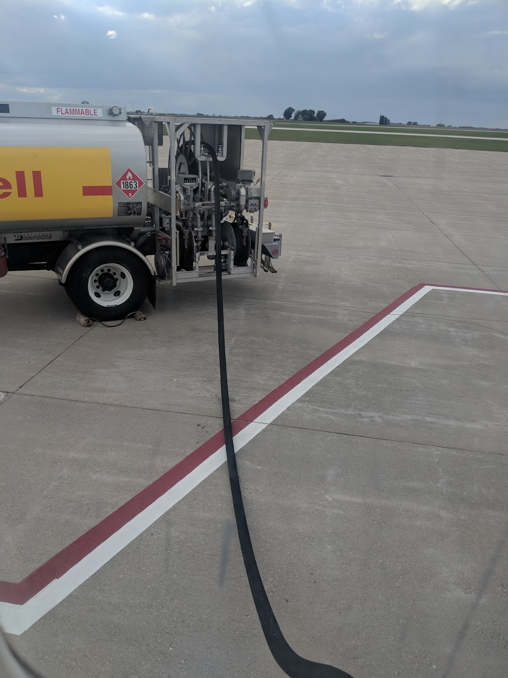
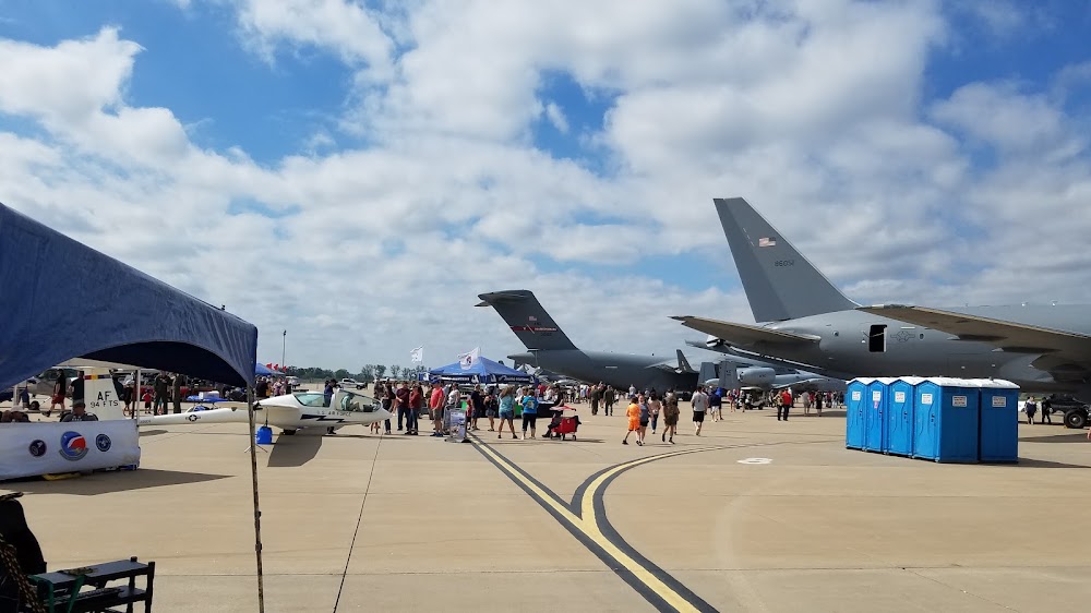
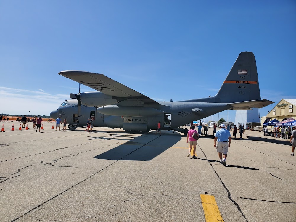
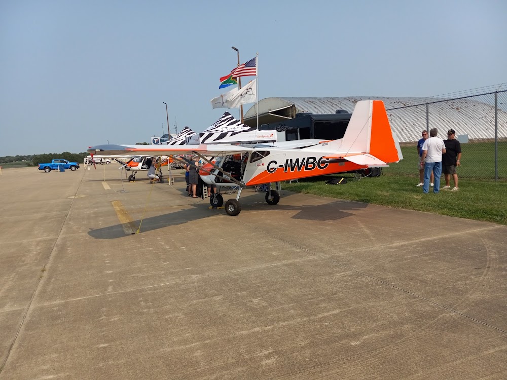
- Airport photos
- Fuel pump location
- Transient parking location
Location:
Quincy, IL
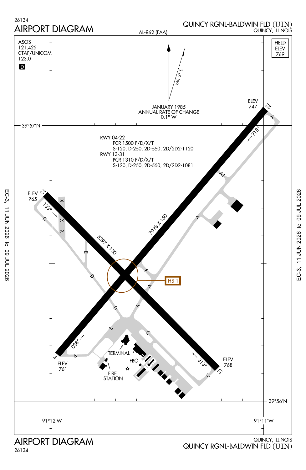
Elevation:
768ft
Sectional:
Kansas City
Activation date:
Apr 1947
Fuel:
100LL, A (prices)
Runway 04/22:
7,098ft
Runway 18/36:
5,400ft
Runway 13/31:
5,397ft
Access: Open to the public
Similar Airports
Current Weather — VFR
-
Weather data is strictly informational and not for flight planning purposes.
-
METAR2026-07-19 22:54:00 CDT
Ceiling: Sky clear Wind: 100° @ 4kt Temperature: 75°F Dewpoint: 69°F Weather: Haze Visbility: 6SM Raw:METAR KUIN 200354Z AUTO 10004KT 6SM HZ CLR 24/21 A2997 RMK AO2 SLP142 T02390206 TSNO -
TAF2026-07-19 19:00:00 CDT – 2026-07-20 12:00:00 CDT
Ceiling: Sky clear Wind: 070° @ 5kt Weather: N/A Visbility: 6SM Clouds: Scattered @ 3,000ft Raw:TAF KUIN 192329Z 2000/2024 07005KT P6SM SCT030 FM201700 21006KT P6SM FEW250 -
TAF2026-07-20 12:00:00 CDT – 2026-07-20 19:00:00 CDT
Ceiling: Sky clear Wind: 210° @ 6kt Weather: N/A Visbility: 6SM Clouds: Few @ 25,000ft Raw:TAF KUIN 192329Z 2000/2024 07005KT P6SM SCT030 FM201700 21006KT P6SM FEW250
Click/tap to add an annotation marker to the map
No webcams added yet.
Remarks
- Migratory waterfowl on & invof arpt.
- Ficons not monitored daily btwn 2200-0600 lcl hrs.
- Arpt wdi ots indefly.
- Use ctn; no line of sight btwn rwy ends due to topography and bldg obstns; all dep/arr acft use ctaf 123.0.
- For cd if una to ctc on fss freq, ctc kansas city artcc at 913-254-8508.
Comments