Pirep is a free, collaborative database of all public and private airports. All pilots are welcome to contribute their local knowledge to any airport, no registration required.
No upcoming events. Is anything happening here soon?
Last updated: 2023-07-08 22:35:17 EDT
Last updated: 2023-04-14 18:22:51 EDT
Last updated: 2023-04-14 18:22:51 EDT
Airport Statistics
Location:
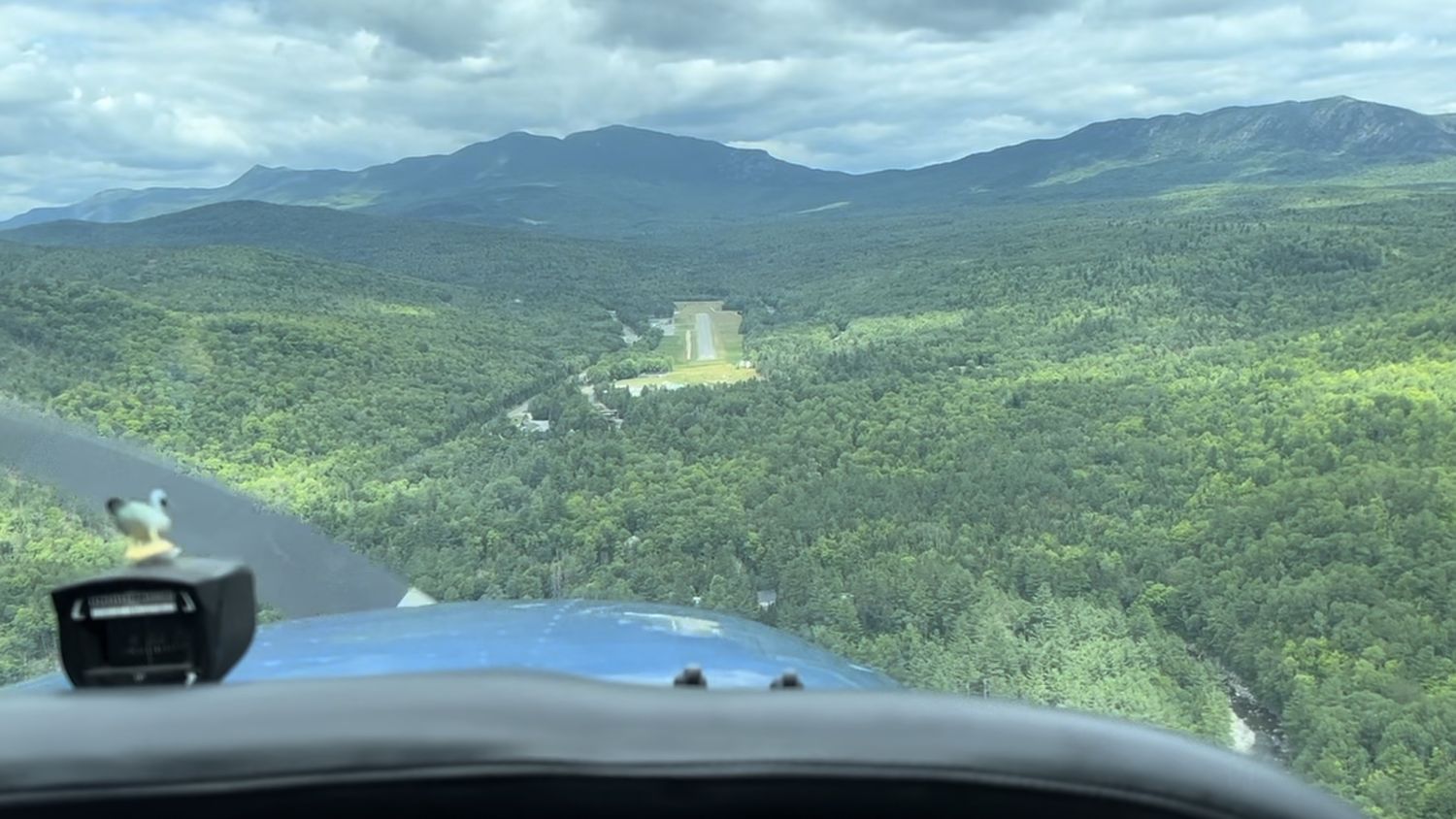
Carrabassett, ME
Elevation:
880ft
Sectional:
Montreal
Fuel:
100LL, MOGAS (prices)
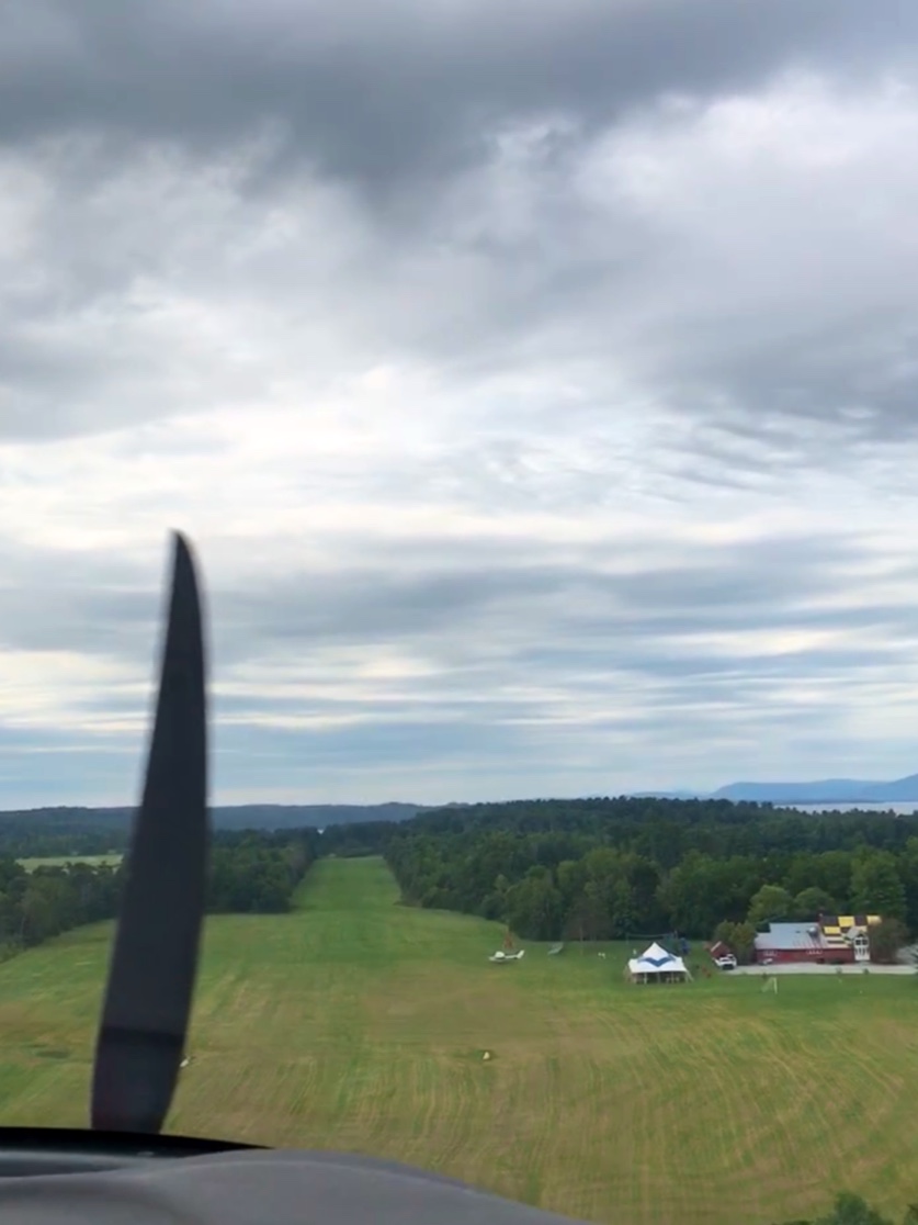
Runway 17/35:
2,797ft
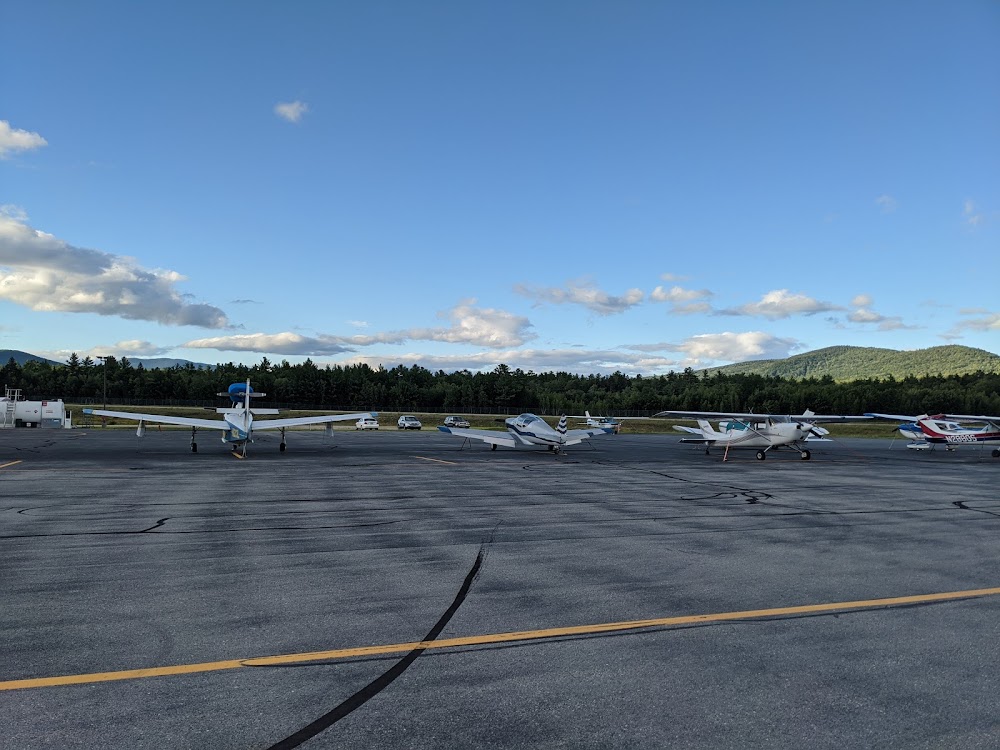
Access: Open to the public
Similar Airports
Click/tap to add an annotation marker to the map
Remarks
- Vfr ops only.
- High trrn 4237 ft msl north/east/west of arpt.
- Call 207-350-1415 to ck arpt conds.
- Rwy 17/35 snowmobile/atv trail 40 ft fm west side of rwy, north of ramp.
- Deer, moose & turkey on & invof arpt.
- For cd ctc boston artcc at 603-879-6859.
- Bring own tie down ropes or chains.
- Addnl ctc: tom wallace at tlwcfii@yahoo.com.
Comments