Pirep is a free, collaborative database of all public and private airports. All pilots are welcome to contribute their local knowledge to any airport, no registration required.

No upcoming events. Is anything happening here soon?
Last updated: 2025-07-09 01:08:32 EDT
Last updated: 2025-07-05 16:57:57 EDT
Last updated: 2025-07-09 01:06:46 EDT
Last updated: 2025-07-09 01:06:46 EDT
Last updated: 2025-07-09 01:06:46 EDT
Airport Statistics
Location:
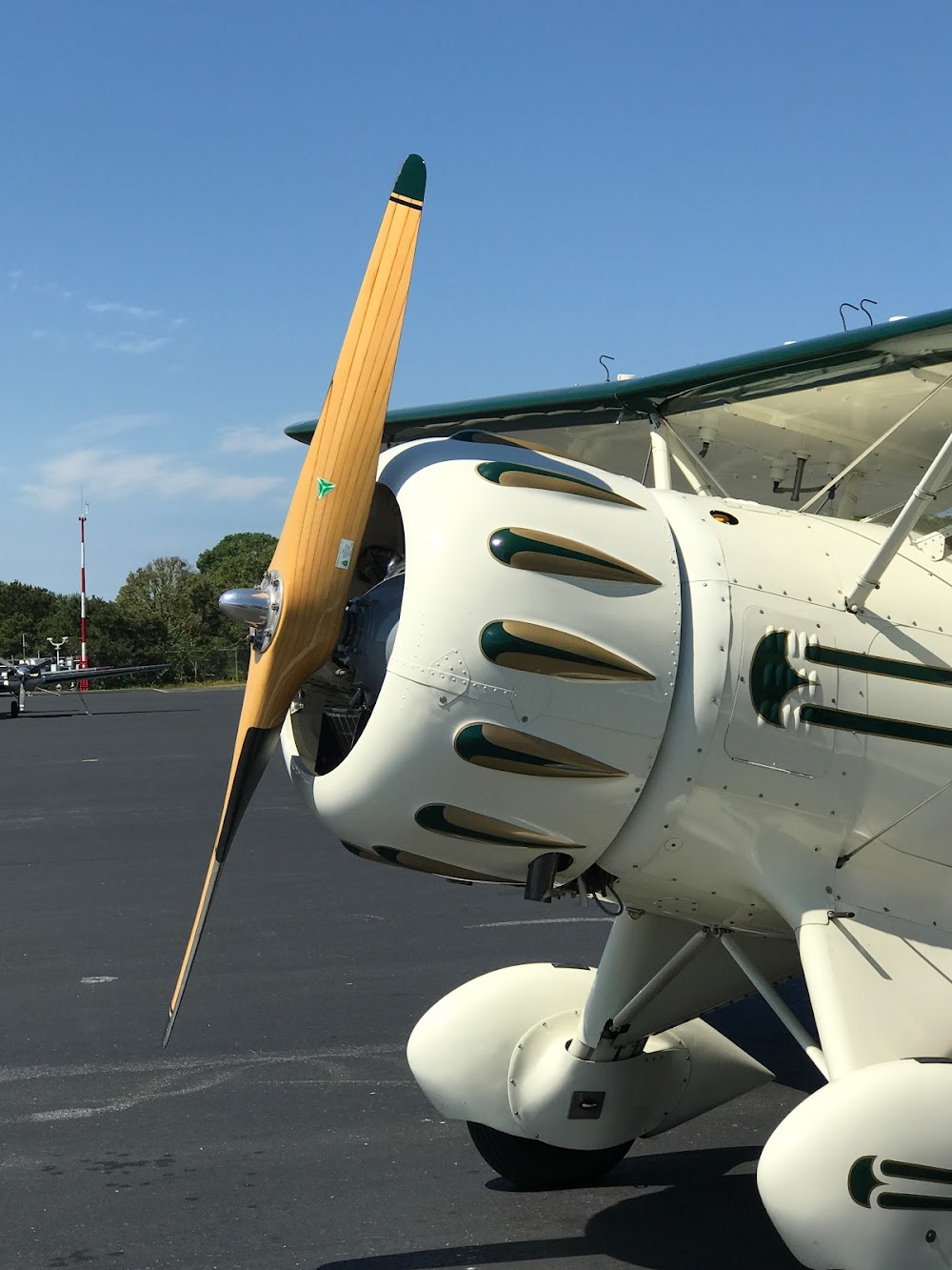
Chatham, MA
Elevation:
63ft
Sectional:
New York
Activation date:
Apr 1940
Fuel:
100LL, A, A+ (prices)
Runway 06/24:
3,001ft
Access: Open to the public
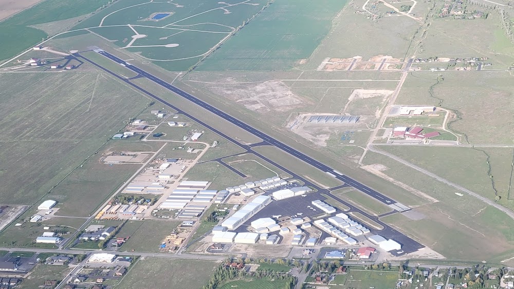
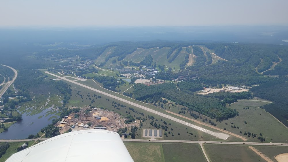
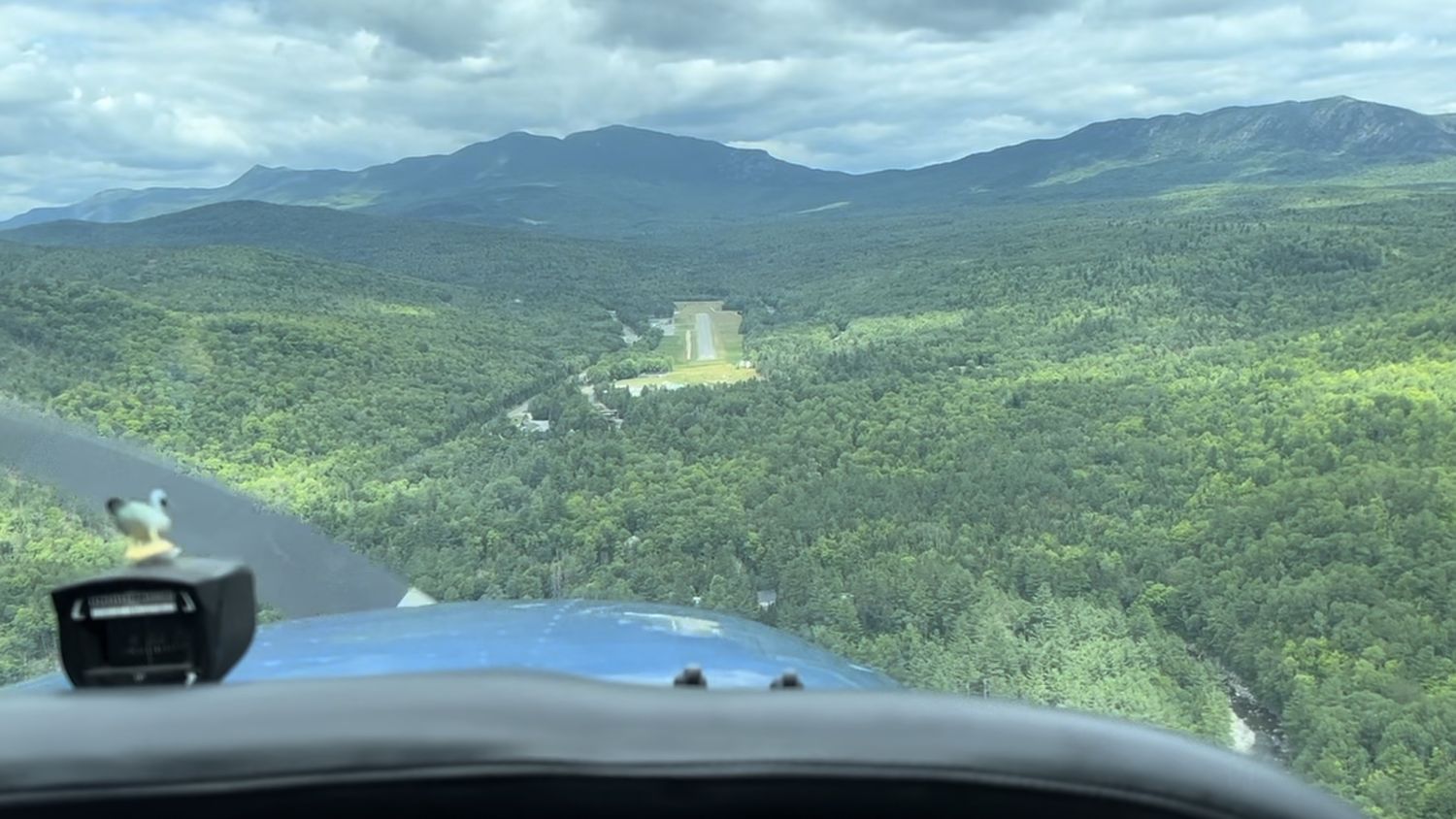
Similar Airports
Current Weather — MVFR
-
Weather data is strictly informational and not for flight planning purposes.
-
METAR2026-07-31 09:52:00 EDT
Ceiling: 1,300ft Wind: Variable Temperature: 69°F Dewpoint: 64°F Weather: N/A Visbility: 10SM Clouds: Broken @ 1,300ft Raw:METAR KCQX 311352Z AUTO VRB05KT 10SM BKN013 21/18 A2992 RMK AO2 SLP132 T02060178 $
Click/tap to add an annotation marker to the map


Remarks
- Estab prior to 1959.
- Be aware of high-spd mil jet & hvy hel tfc vcnty cape cod cgas.
- Birds primly gulls and wildlife on or invof arpt.
- Rcmd min alt of 2000 ft agl fm northeast to southeast of arpt over natl seashore .
- Water ldg area clsd permly.
- Noise abatement rwy 6/24: use full rwy & avoid intxn deps. minimize or avoid tgl opns. climb out on rwy hdg til 1100 ft ovr water then procd on crs. reduce pwr as soon as practical.
- Rwy 6/24, fly pat downwind leg 1/2 to 1 mile out fm rwy as practicable.
- Avoid residential areas as much as psbl.
Comments