Pirep is a free, collaborative database of all public and private airports. All pilots are welcome to contribute their local knowledge to any airport, no registration required.


No upcoming events. Is anything happening here soon?
Last updated: 2025-03-20 02:59:23 EDT
Last updated: 2025-02-19 11:22:10 EST
Last updated: 2025-03-20 02:59:23 EDT
Last updated: 2025-03-20 02:59:23 EDT
Airport Statistics
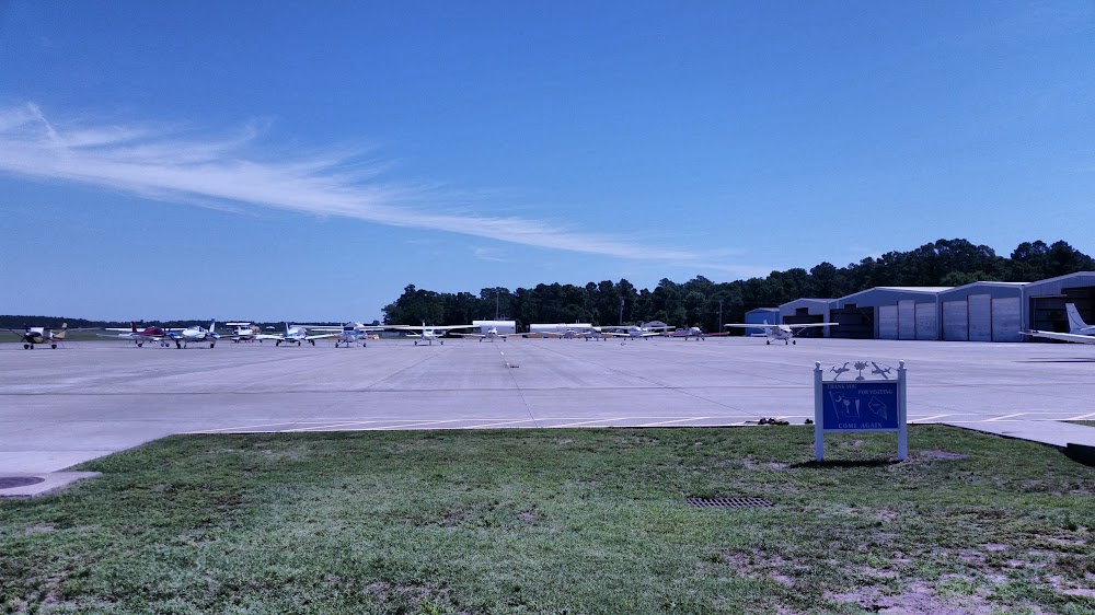
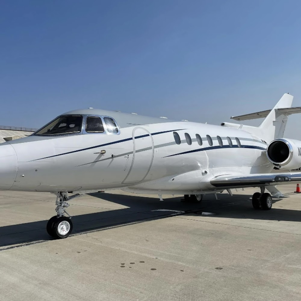
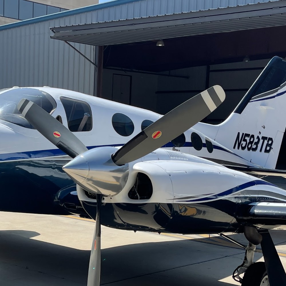
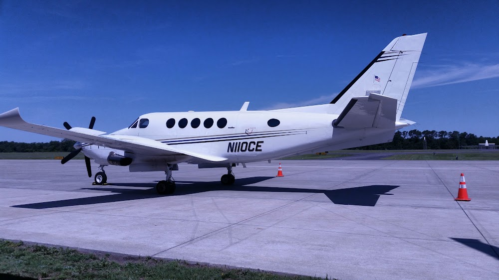
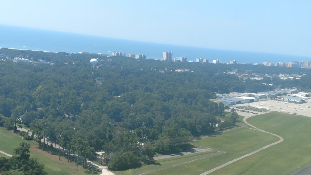
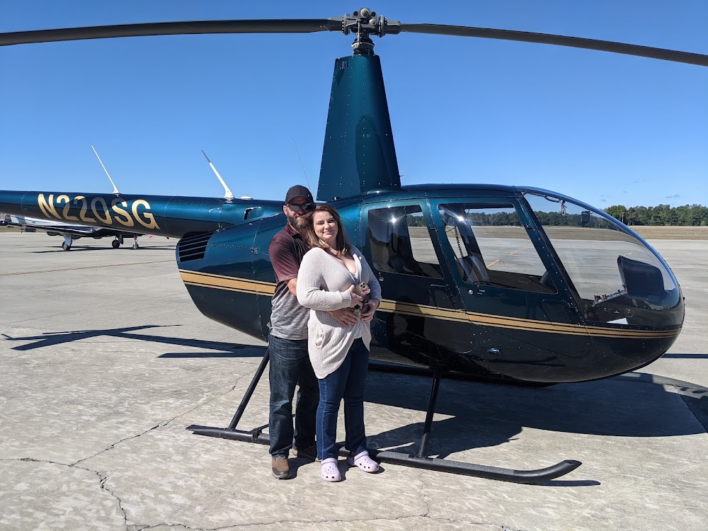
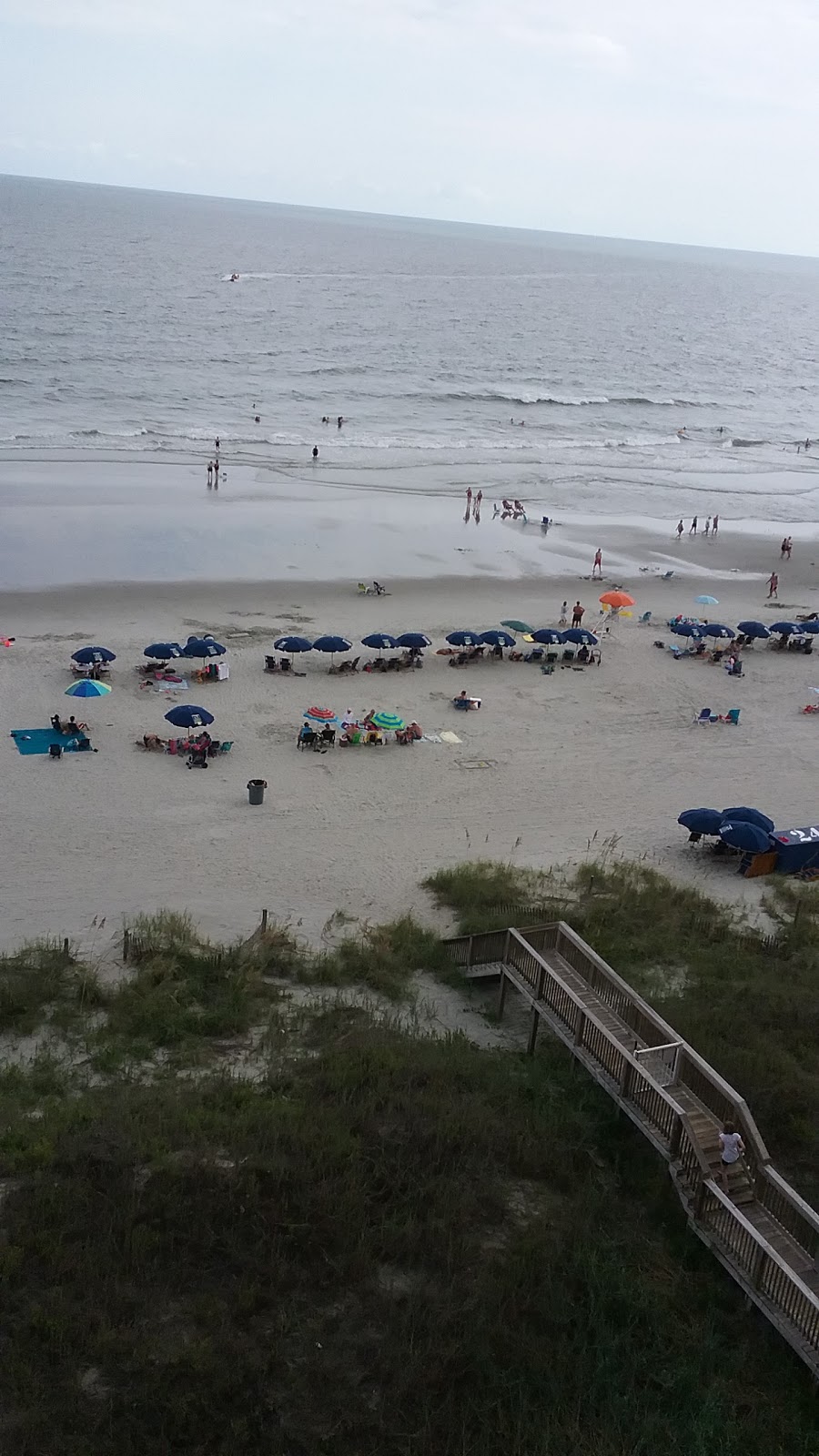
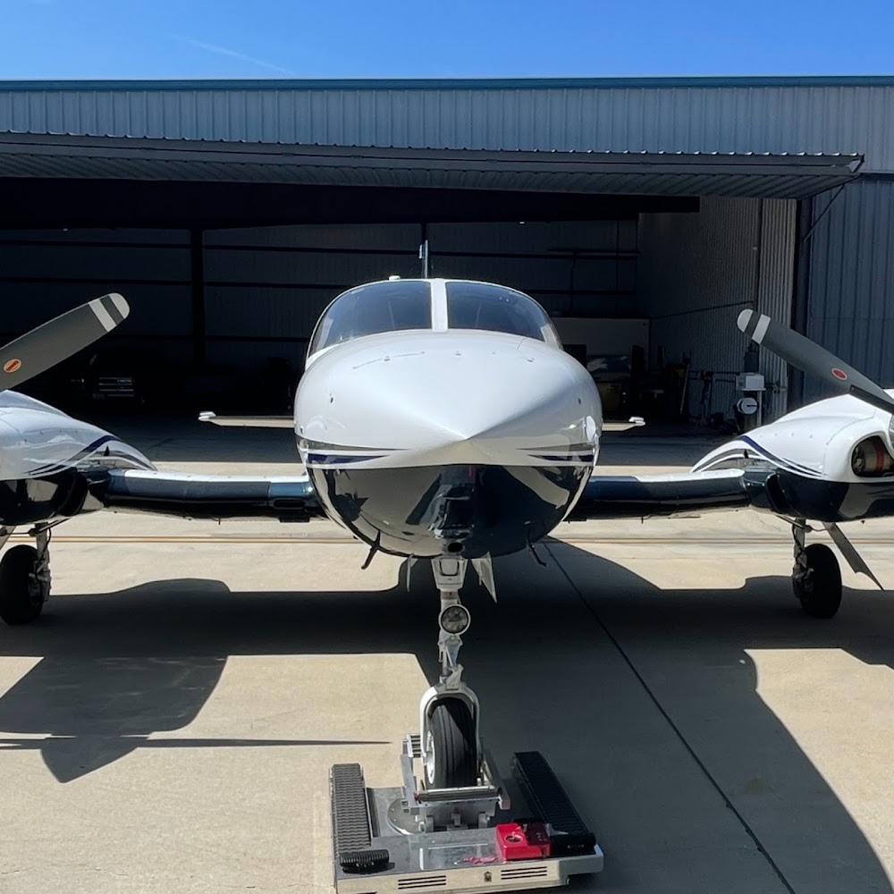
- Airport photos
- Webcam links
- Fuel pump location
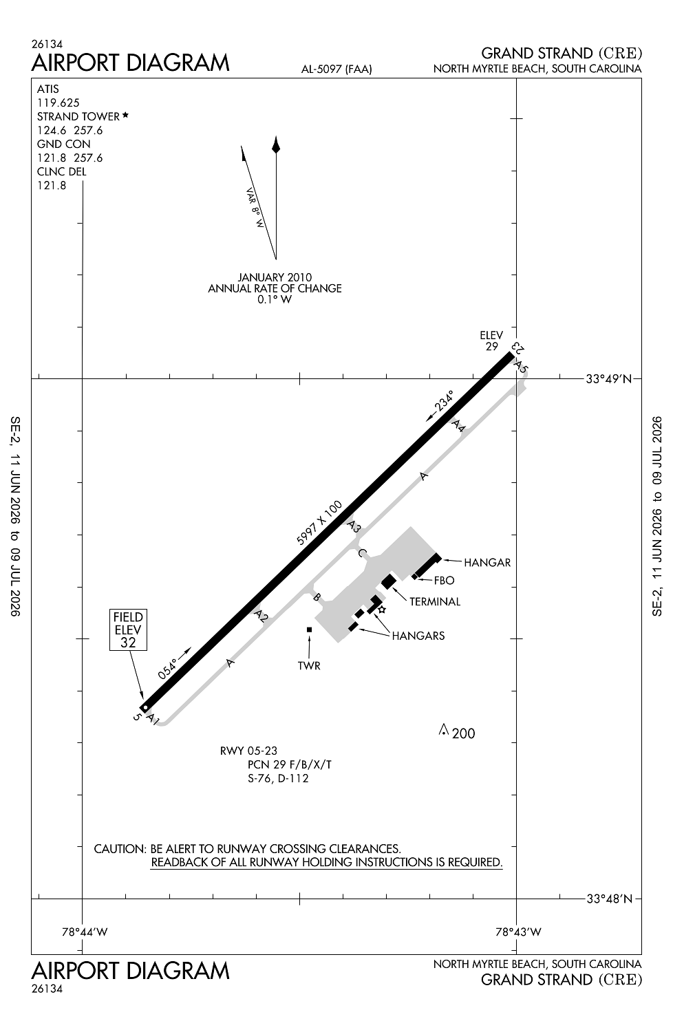
Location:
North Myrtle Beach, SC
Elevation:
31ft
Sectional:
Charlotte
Fuel:
100LL, A (prices)
Runway 05/23:
5,997ft
Access: Open to the public
Similar Airports

Current Weather — VFR
-
Weather data is strictly informational and not for flight planning purposes.
-
METAR2026-07-29 11:53:00 EDT
Ceiling: Sky clear Wind: Calm Temperature: 86°F Dewpoint: 71°F Weather: Light rain Visbility: 10SM Clouds: Scattered @ 3,600ft Raw:METAR KCRE 291553Z 00000KT 10SM -RA SCT036 30/22 A2975 RMK AO2 RAB48 SLP073 P0000 T03000217 -
TAF2026-07-29 08:00:00 EDT – 2026-07-29 13:00:00 EDT
Ceiling: Sky clear Wind: 300° @ 8kt Weather: N/A Visbility: 6SM Clouds: @ ft Raw:TAF KCRE 291120Z 2912/3012 30008KT P6SM SKC FM291700 22010KT P6SM FEW040 FM300000 00000KT P6SM SKC -
TAF2026-07-29 13:00:00 EDT – 2026-07-29 20:00:00 EDT
Ceiling: Sky clear Wind: 220° @ 10kt Weather: N/A Visbility: 6SM Clouds: Few @ 4,000ft Raw:TAF KCRE 291120Z 2912/3012 30008KT P6SM SKC FM291700 22010KT P6SM FEW040 FM300000 00000KT P6SM SKC -
TAF2026-07-29 20:00:00 EDT – 2026-07-30 08:00:00 EDT
Ceiling: Sky clear Wind: Calm Weather: N/A Visbility: 6SM Clouds: @ ft Raw:TAF KCRE 291120Z 2912/3012 30008KT P6SM SKC FM291700 22010KT P6SM FEW040 FM300000 00000KT P6SM SKC
Click/tap to add an annotation marker to the map
No webcams added yet.
Remarks
- Existed prior to 1958.
- Extensive banner tow operations fm arpt along coast line 10 nm ne to 20 nm sw.
- Gulls on & invof arpt.
- For cd when atct clsd ctc myrtle beach apch at 843-477-2727/2704. when myr apch clsd ctc jacksonville artcc at 904-845-1592.
- After 0000 actvt hirl ry 05/23; reil ry 05 and malsr ry 23 - ctaf.
Comments