Pirep is a free, collaborative database of all public and private airports. All pilots are welcome to contribute their local knowledge to any airport, no registration required.


Upcoming Events
-
Sat, Oct 3 2026 8:30am – Sun, Oct 4 2026 5:00pm
- Event webpage: https://www.gjairshow.com
Airport Statistics
- Landing & tie-down fees
- Local flying clubs
- Transient parking location
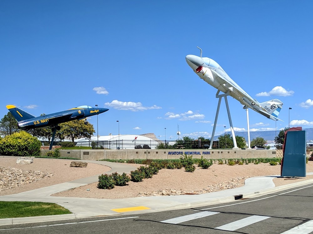
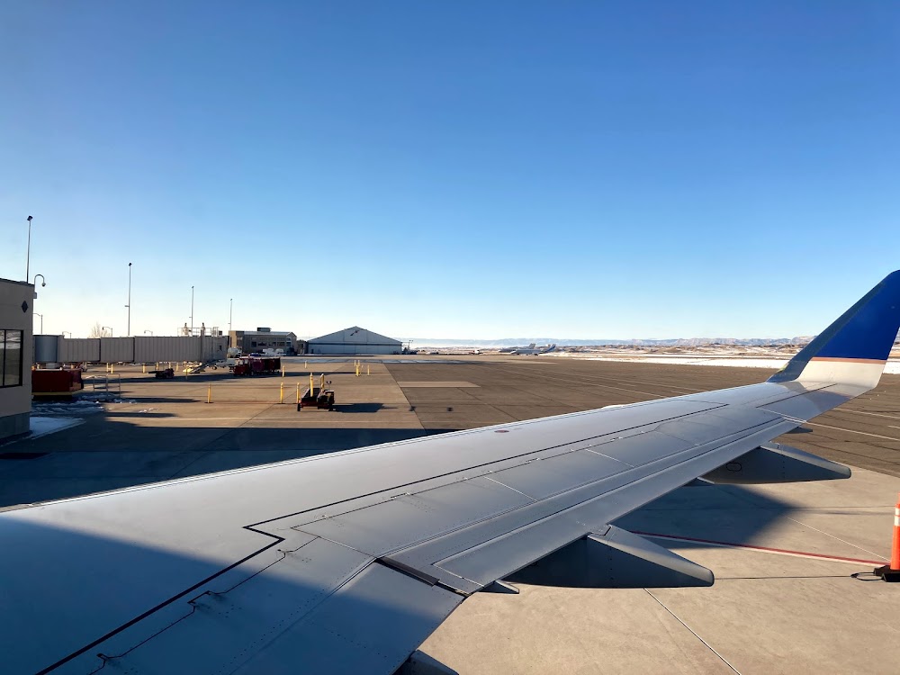
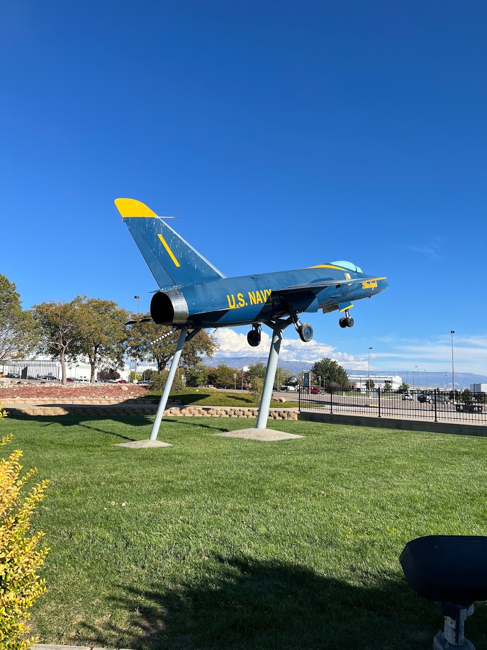
Location:
Grand Junction, CO
Elevation:
4,861ft
Sectional:
Denver
Activation date:
Apr 1940
Fuel:
100LL, A (prices)
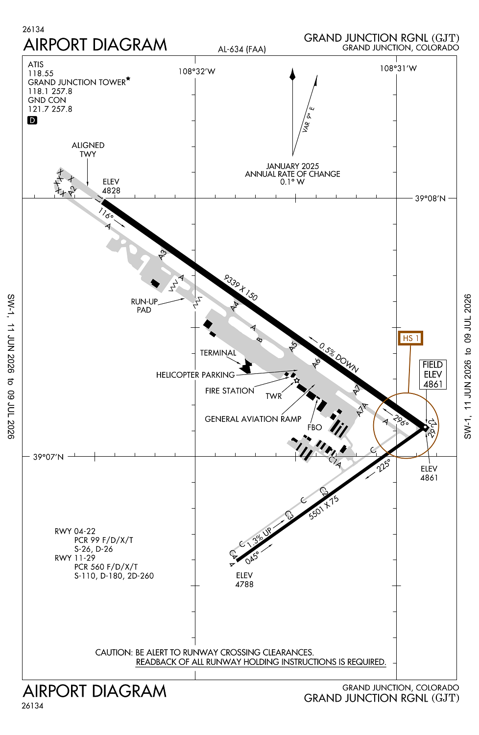
Runway 11/29:
9,339ft
Runway 04/22:
5,501ft
Access: Open to the public
Similar Airports

Current Weather — VFR
-
Weather data is strictly informational and not for flight planning purposes.
-
METAR2026-07-20 17:53:00 MDT
Ceiling: Sky clear Wind: 260° @ 15kt Temperature: 100°F Dewpoint: 50°F Weather: N/A Visbility: 10SM Raw:METAR KGJT 202353Z 26015KT 10SM CLR 38/10 A2991 RMK AO2 SLP043 T03830100 10389 20317 56026 -
TAF2026-07-20 18:00:00 MDT – 2026-07-20 21:00:00 MDT
Ceiling: Sky clear Wind: 280° @ 10kt Weather: N/A Visbility: 6SM Clouds: Few @ 11,000ft, Scattered @ 25,000ft Raw:TAF KGJT 202322Z 2100/2124 28010KT P6SM FEW110 SCT250 PROB30 2101/2103 VRB15G25KT -TSRA BKN100CB FM210300 11008KT P6SM BKN100 TEMPO 2103/2105 -TSRA OVC025CB FM210500 13008KT P6SM FEW100 BKN250 PROB30 2105/2107 -SHRA OVC025 FM211800 20008KT P6SM FEW100 BKN250 -
TAF2026-07-20 19:00:00 MDT – 2026-07-20 21:00:00 MDT
Ceiling: 10,000ft Wind: Variable, gusts 25kt Weather: Light thunderstorm rain Visbility: SM Clouds: Broken @ 10,000ft Raw:TAF KGJT 202322Z 2100/2124 28010KT P6SM FEW110 SCT250 PROB30 2101/2103 VRB15G25KT -TSRA BKN100CB FM210300 11008KT P6SM BKN100 TEMPO 2103/2105 -TSRA OVC025CB FM210500 13008KT P6SM FEW100 BKN250 PROB30 2105/2107 -SHRA OVC025 FM211800 20008KT P6SM FEW100 BKN250 -
TAF2026-07-20 21:00:00 MDT – 2026-07-20 23:00:00 MDT
Ceiling: 2,500ft Wind: 000° @ kt Weather: Light thunderstorm rain Visbility: SM Clouds: Overcast @ 2,500ft Raw:TAF KGJT 202322Z 2100/2124 28010KT P6SM FEW110 SCT250 PROB30 2101/2103 VRB15G25KT -TSRA BKN100CB FM210300 11008KT P6SM BKN100 TEMPO 2103/2105 -TSRA OVC025CB FM210500 13008KT P6SM FEW100 BKN250 PROB30 2105/2107 -SHRA OVC025 FM211800 20008KT P6SM FEW100 BKN250 -
TAF2026-07-20 21:00:00 MDT – 2026-07-20 23:00:00 MDT
Ceiling: 10,000ft Wind: 110° @ 8kt Weather: N/A Visbility: 6SM Clouds: Broken @ 10,000ft Raw:TAF KGJT 202322Z 2100/2124 28010KT P6SM FEW110 SCT250 PROB30 2101/2103 VRB15G25KT -TSRA BKN100CB FM210300 11008KT P6SM BKN100 TEMPO 2103/2105 -TSRA OVC025CB FM210500 13008KT P6SM FEW100 BKN250 PROB30 2105/2107 -SHRA OVC025 FM211800 20008KT P6SM FEW100 BKN250 -
TAF2026-07-20 23:00:00 MDT – 2026-07-21 12:00:00 MDT
Ceiling: 25,000ft Wind: 130° @ 8kt Weather: N/A Visbility: 6SM Clouds: Few @ 10,000ft, Broken @ 25,000ft Raw:TAF KGJT 202322Z 2100/2124 28010KT P6SM FEW110 SCT250 PROB30 2101/2103 VRB15G25KT -TSRA BKN100CB FM210300 11008KT P6SM BKN100 TEMPO 2103/2105 -TSRA OVC025CB FM210500 13008KT P6SM FEW100 BKN250 PROB30 2105/2107 -SHRA OVC025 FM211800 20008KT P6SM FEW100 BKN250 -
TAF2026-07-20 23:00:00 MDT – 2026-07-21 01:00:00 MDT
Ceiling: 2,500ft Wind: 000° @ kt Weather: Light rain showers Visbility: SM Clouds: Overcast @ 2,500ft Raw:TAF KGJT 202322Z 2100/2124 28010KT P6SM FEW110 SCT250 PROB30 2101/2103 VRB15G25KT -TSRA BKN100CB FM210300 11008KT P6SM BKN100 TEMPO 2103/2105 -TSRA OVC025CB FM210500 13008KT P6SM FEW100 BKN250 PROB30 2105/2107 -SHRA OVC025 FM211800 20008KT P6SM FEW100 BKN250 -
TAF2026-07-21 12:00:00 MDT – 2026-07-21 18:00:00 MDT
Ceiling: 25,000ft Wind: 200° @ 8kt Weather: N/A Visbility: 6SM Clouds: Few @ 10,000ft, Broken @ 25,000ft Raw:TAF KGJT 202322Z 2100/2124 28010KT P6SM FEW110 SCT250 PROB30 2101/2103 VRB15G25KT -TSRA BKN100CB FM210300 11008KT P6SM BKN100 TEMPO 2103/2105 -TSRA OVC025CB FM210500 13008KT P6SM FEW100 BKN250 PROB30 2105/2107 -SHRA OVC025 FM211800 20008KT P6SM FEW100 BKN250
Click/tap to add an annotation marker to the map
Remarks
- Liquid oxy svc avbl.
- Arff prvdd only during scheduled part 121 acr opns except by ppr; call amgr 970-244-9100.
- Twy c1a & twy c, 150 ft either side of the intxn not vsbl fm atct.
- Hel prkg avbl at fbo; ppr rcmdd.
- Flocks of birds on & invof arpt.
Comments