Pirep is a free, collaborative database of all public and private airports. All pilots are welcome to contribute their local knowledge to any airport, no registration required.


No upcoming events. Is anything happening here soon?
Last updated: 2023-05-10 23:15:32 PDT
Last updated: 2023-04-15 23:05:49 PDT
Last updated: 2024-02-13 20:24:14 PST
Airport Statistics
- Fuel pump location
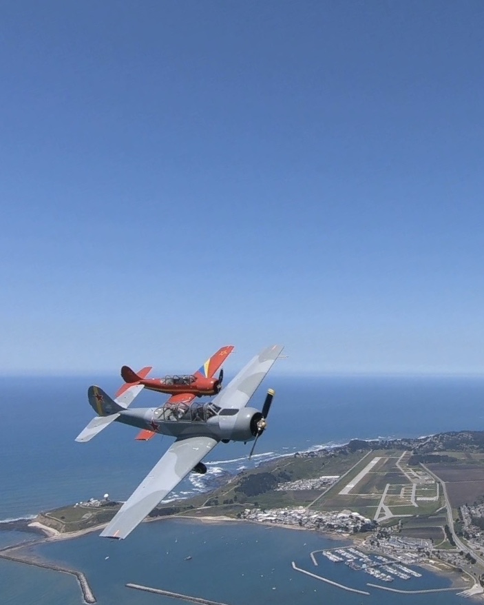
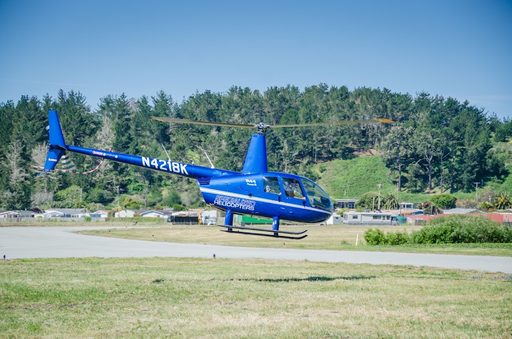
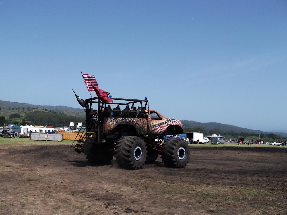
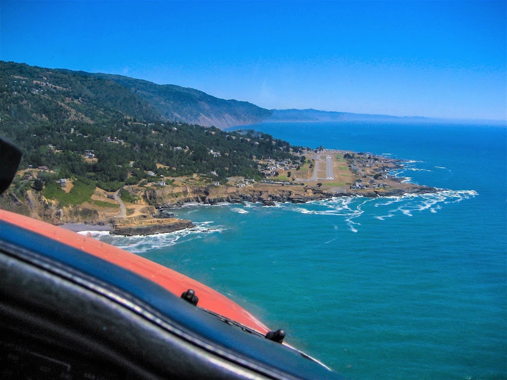
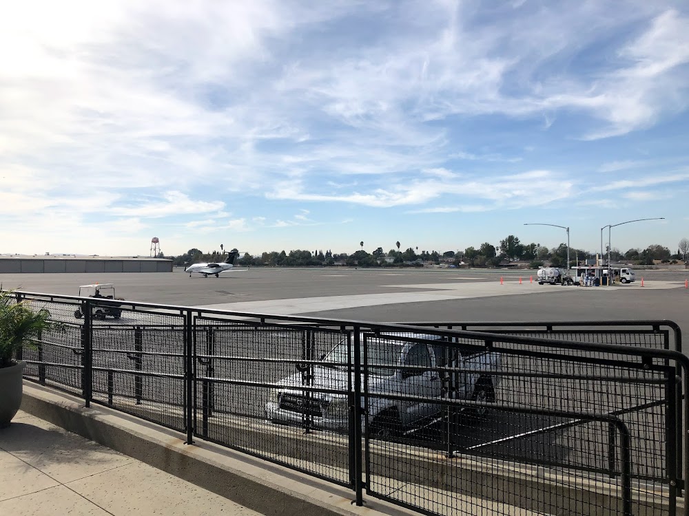
- Airport photos
- Landing & tie-down fees
Location:
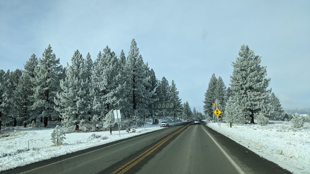
Half Moon Bay, CA
Elevation:
66ft
Sectional:
San Francisco
Activation date:
Mar 1943
Fuel:
100LL (prices)
Runway 12/30:
5,000ft
Access: Open to the public
Similar Airports
Current Weather — MVFR
-
Weather data is strictly informational and not for flight planning purposes.
-
METAR2026-07-18 10:15:00 PDT
Ceiling: Sky clear Wind: Variable Temperature: °F Dewpoint: °F Weather: N/A Visbility: 4SM Clouds: Few @ 700ft, Scattered @ 1,300ft Raw:METAR KHAF 181715Z AUTO VRB05KT 4SM FEW007 SCT013 A3008 RMK AO2 -
TAF2026-07-18 08:00:00 PDT – 2026-07-18 14:00:00 PDT
Ceiling: 800ft Wind: 190° @ 4kt Weather: Mist Visbility: 4SM Clouds: Overcast @ 800ft Raw:TAF KHAF 181456Z 1815/1912 19004KT 4SM BR OVC008 FM182100 31007KT 6SM BR OVC010 FM190300 29004KT 5SM BR OVC007 -
TAF2026-07-18 14:00:00 PDT – 2026-07-18 20:00:00 PDT
Ceiling: 1,000ft Wind: 310° @ 7kt Weather: Mist Visbility: 6SM Clouds: Overcast @ 1,000ft Raw:TAF KHAF 181456Z 1815/1912 19004KT 4SM BR OVC008 FM182100 31007KT 6SM BR OVC010 FM190300 29004KT 5SM BR OVC007 -
TAF2026-07-18 20:00:00 PDT – 2026-07-19 05:00:00 PDT
Ceiling: 700ft Wind: 290° @ 4kt Weather: Mist Visbility: 5SM Clouds: Overcast @ 700ft Raw:TAF KHAF 181456Z 1815/1912 19004KT 4SM BR OVC008 FM182100 31007KT 6SM BR OVC010 FM190300 29004KT 5SM BR OVC007
Click/tap to add an annotation marker to the map
No webcams added yet.
Remarks
- This airport has been surveyed by the national geodetic survey.
- Fld conds-rwy, twy & apron good.
- Arpt noise sensitive areas nw thru ne.
- Twys, aprons and tiedowns: 12,500 lbs maximum.
- For cd ctc norcal apch at 916-361-0519.
- Unexpected turbulent conds may be enctrd while on fna to rwy 12.
- Avoid flying directly over the pillar point air force station.
- Actvt mirl ry 12/30, reil ry 30, papi rys 12 and 30 - 122.8.
Comments