Pirep is a free, collaborative database of all public and private airports. All pilots are welcome to contribute their local knowledge to any airport, no registration required.


Upcoming Events
-
Sun, Oct 18 2026 8:00am – 12:00pm
- Location: Moraine Airpark (I73)
- Event webpage: https://Moraineairpark.com
Last updated: 2026-05-03 14:05:19 EDT
Last updated: 2026-05-03 14:05:19 EDT
Last updated: 2026-05-03 14:05:19 EDT
Last updated: 2026-05-03 14:05:19 EDT
Last updated: 2026-05-03 14:05:19 EDT
Last updated: 2026-05-03 14:05:19 EDT
Last updated: 2026-05-03 14:05:19 EDT
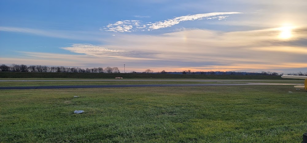
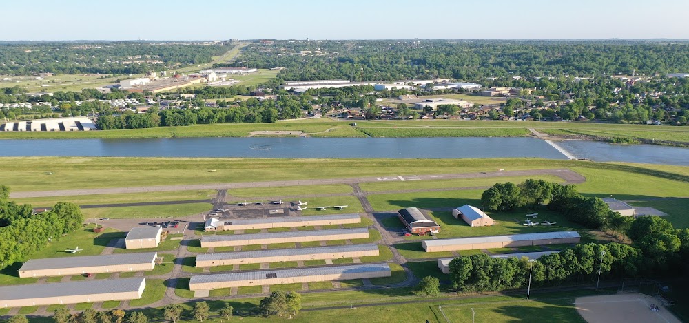
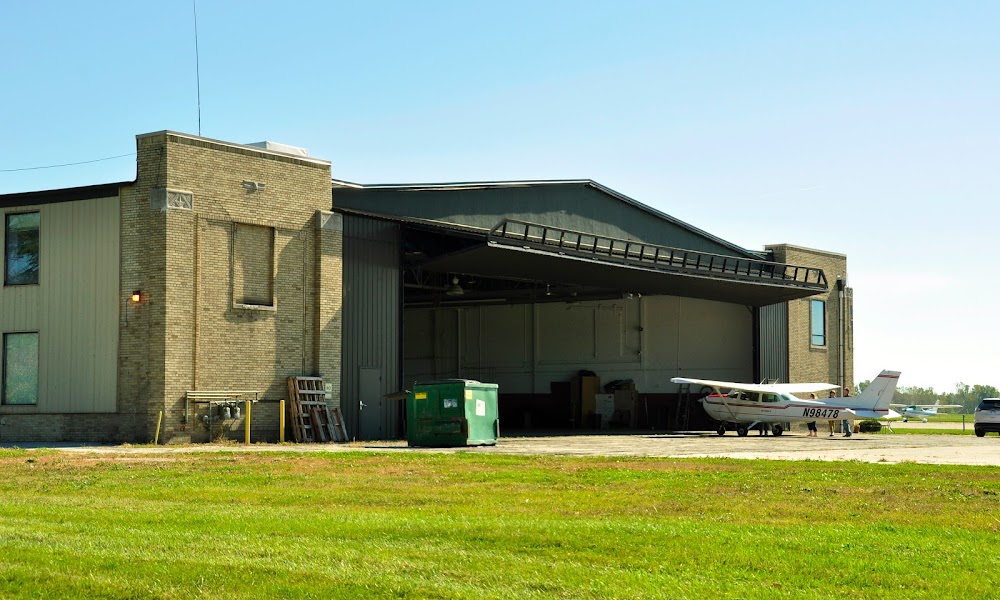
Airport Statistics
Location:
Dayton, OH
Elevation:
720ft
Sectional:
Cincinnati
Activation date:
Oct 1947
Fuel:
100LL (prices)
Runway 08/26:
3,500ft
Access: Open to the public
Similar Airports


Click/tap to add an annotation marker to the map
No webcams added yet.
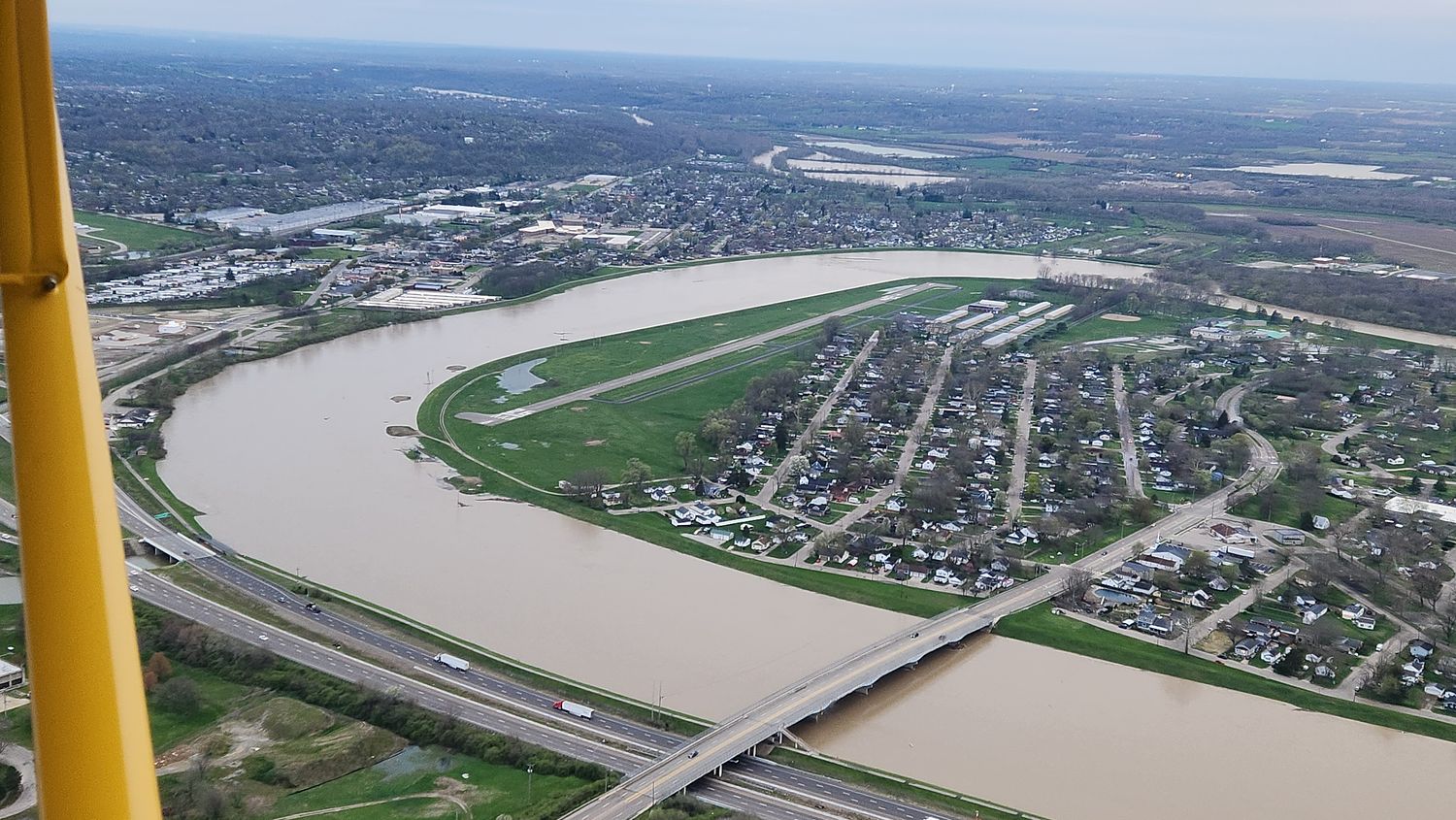
Remarks
- 15 ft levee south of & parl to rwy. trees north of rwy.
- Paew adj twys.
- For cd ctc columbus apch at 614-338-8537.
- Ultra-light actvty.
- Ry 8 & 26, climb straight out to 1700 ft msl.
- +75 ft tree overhangs parl twy btn trml & rwy end 26.
- Mil jets ovr arpt inbd & oubd to/fm kffo afb 12 nm ne.
- Birds invof arpt.
Comments