Pirep is a free, collaborative database of all public and private airports. All pilots are welcome to contribute their local knowledge to any airport, no registration required.
No upcoming events. Is anything happening here soon?
Last updated: 2024-04-15 23:23:01 MDT
Airport Statistics
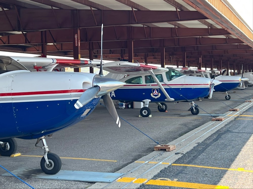
- Local flying clubs
- Transient parking location
- Crew car availability
Location:
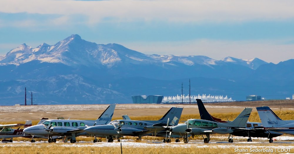
Denver, CO
Elevation:
5,884ft
Sectional:
Denver
Activation date:
Mar 1968
Fuel:
100LL, A, UL94 (prices)
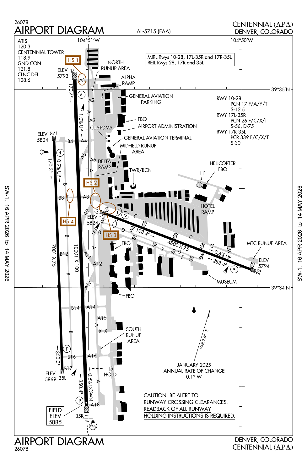
Runway 17L/35R:
10,001ft
Runway 17R/35L:
7,001ft
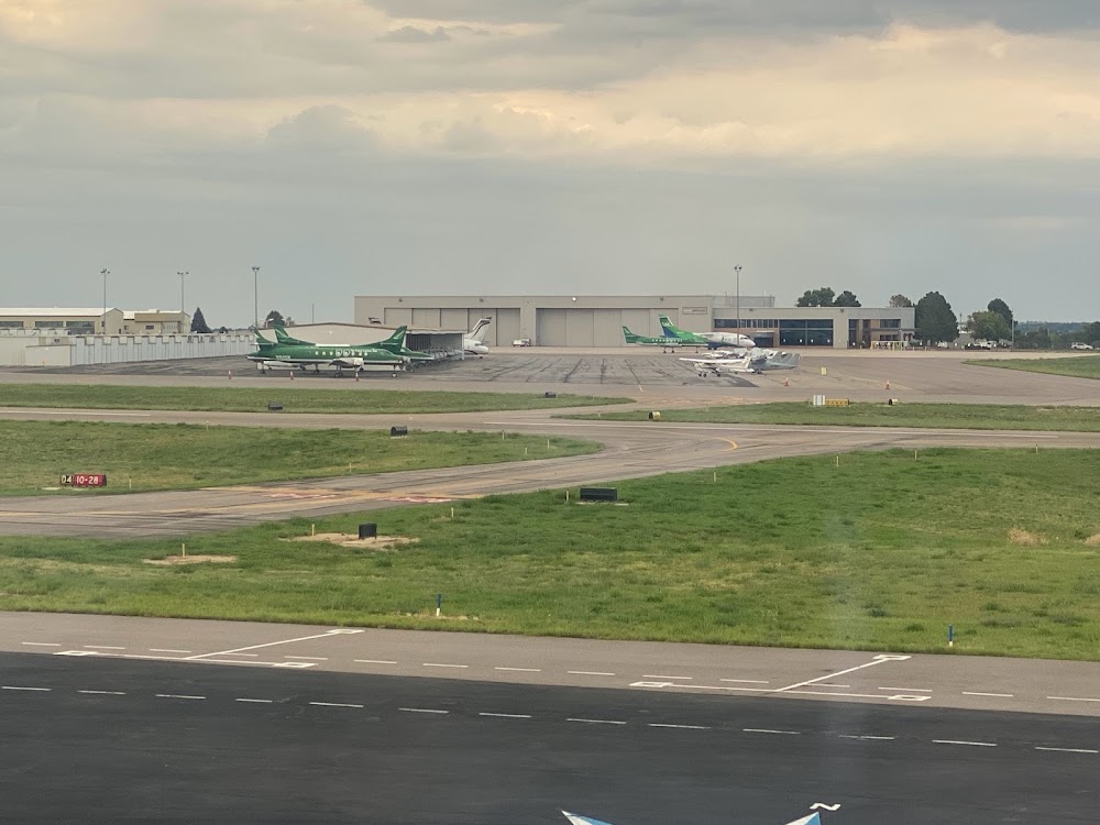
Runway 10/28:
4,800ft
Runway H1:
50ft
Access: Open to the public
Similar Airports
Current Weather — VFR
-
Weather data is strictly informational and not for flight planning purposes.
-
METAR2026-04-29 09:53:00 MDT
Ceiling: Sky clear Wind: 150° @ 3kt Temperature: 51°F Dewpoint: 33°F Weather: N/A Visbility: 10SM Clouds: Few @ 9,000ft, Few @ 14,000ft, Few @ 22,000ft Raw:METAR KAPA 291553Z 15003KT 10SM FEW090 FEW140 FEW220 11/01 A3010 RMK AO2 SLP171 T01060011 -
TAF2026-04-29 06:00:00 MDT – 2026-04-29 10:00:00 MDT
Ceiling: 5,000ft Wind: 150° @ 7kt Weather: Showers in vicinity Visbility: 6SM Clouds: Few @ 3,000ft, Broken @ 5,000ft Raw:TAF KAPA 291133Z 2912/3012 15007KT P6SM VCSH FEW030 BKN050 FM291600 35008KT P6SM VCSH FEW040 BKN050 BKN080 PROB30 2918/2924 -SHRA BKN040 FM300000 07007KT P6SM VCSH BKN040 BKN080 PROB30 3000/3006 -SHRA BKN030 FM300600 07006KT P6SM SCT020 BKN030 -
TAF2026-04-29 10:00:00 MDT – 2026-04-29 18:00:00 MDT
Ceiling: 5,000ft Wind: 350° @ 8kt Weather: Showers in vicinity Visbility: 6SM Clouds: Few @ 4,000ft, Broken @ 5,000ft, Broken @ 8,000ft Raw:TAF KAPA 291133Z 2912/3012 15007KT P6SM VCSH FEW030 BKN050 FM291600 35008KT P6SM VCSH FEW040 BKN050 BKN080 PROB30 2918/2924 -SHRA BKN040 FM300000 07007KT P6SM VCSH BKN040 BKN080 PROB30 3000/3006 -SHRA BKN030 FM300600 07006KT P6SM SCT020 BKN030 -
TAF2026-04-29 12:00:00 MDT – 2026-04-29 18:00:00 MDT
Ceiling: 4,000ft Wind: 000° @ kt Weather: Light rain showers Visbility: SM Clouds: Broken @ 4,000ft Raw:TAF KAPA 291133Z 2912/3012 15007KT P6SM VCSH FEW030 BKN050 FM291600 35008KT P6SM VCSH FEW040 BKN050 BKN080 PROB30 2918/2924 -SHRA BKN040 FM300000 07007KT P6SM VCSH BKN040 BKN080 PROB30 3000/3006 -SHRA BKN030 FM300600 07006KT P6SM SCT020 BKN030 -
TAF2026-04-29 18:00:00 MDT – 2026-04-30 00:00:00 MDT
Ceiling: 4,000ft Wind: 070° @ 7kt Weather: Showers in vicinity Visbility: 6SM Clouds: Broken @ 4,000ft, Broken @ 8,000ft Raw:TAF KAPA 291133Z 2912/3012 15007KT P6SM VCSH FEW030 BKN050 FM291600 35008KT P6SM VCSH FEW040 BKN050 BKN080 PROB30 2918/2924 -SHRA BKN040 FM300000 07007KT P6SM VCSH BKN040 BKN080 PROB30 3000/3006 -SHRA BKN030 FM300600 07006KT P6SM SCT020 BKN030 -
TAF2026-04-29 18:00:00 MDT – 2026-04-30 00:00:00 MDT
Ceiling: 3,000ft Wind: 000° @ kt Weather: Light rain showers Visbility: SM Clouds: Broken @ 3,000ft Raw:TAF KAPA 291133Z 2912/3012 15007KT P6SM VCSH FEW030 BKN050 FM291600 35008KT P6SM VCSH FEW040 BKN050 BKN080 PROB30 2918/2924 -SHRA BKN040 FM300000 07007KT P6SM VCSH BKN040 BKN080 PROB30 3000/3006 -SHRA BKN030 FM300600 07006KT P6SM SCT020 BKN030 -
TAF2026-04-30 00:00:00 MDT – 2026-04-30 06:00:00 MDT
Ceiling: 3,000ft Wind: 070° @ 6kt Weather: N/A Visbility: 6SM Clouds: Scattered @ 2,000ft, Broken @ 3,000ft Raw:TAF KAPA 291133Z 2912/3012 15007KT P6SM VCSH FEW030 BKN050 FM291600 35008KT P6SM VCSH FEW040 BKN050 BKN080 PROB30 2918/2924 -SHRA BKN040 FM300000 07007KT P6SM VCSH BKN040 BKN080 PROB30 3000/3006 -SHRA BKN030 FM300600 07006KT P6SM SCT020 BKN030
Click/tap to add an annotation marker to the map
Remarks
- All acft blo cert 70000 lb max gross tkof wt & stage iii acft up to cert 75000 lb max gross tkof wt may opr; one-time exception auzd by exec dir.
- Waterfowl on & invof arpt.
- Nmrs cranes invof arpt.
- +190 ft twr lctd 1800 ft ene of ry 17l thld.
- Rwy 35r crosswind/base leg n of lincoln ave; rwy 17l crosswind/base leg s of arapahoe road; rwy 17r/35l clsd tfc remain s of arapahoe road & e of interstate 25; rwy 10/28 avoid noise sensitive area 1 mi s & e of rwy.
Comments