Pirep is a free, collaborative database of all public and private airports. All pilots are welcome to contribute their local knowledge to any airport, no registration required.


No upcoming events. Is anything happening here soon?
Last updated: 2023-05-29 21:42:09 CDT
Airport Statistics
- Fuel pump location
- Landing & tie-down fees
- Crew car availability
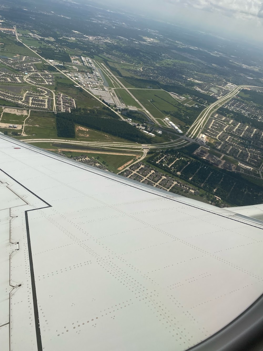
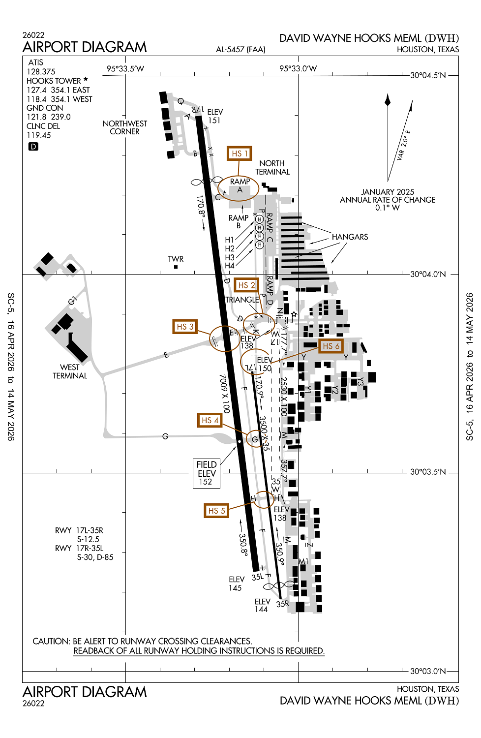
Location:
Houston, TX
Elevation:
152ft
Sectional:
Houston
Activation date:
Sep 1963
Fuel:
100LL, A1+ (prices)
Runway 17R/35L:
7,009ft
Runway 17L/35R:
3,500ft
Runway 17W/35W:
2,530ft
Runway H4:
50ft
Runway H1:
50ft
Runway H2:
50ft
Runway H3:
50ft
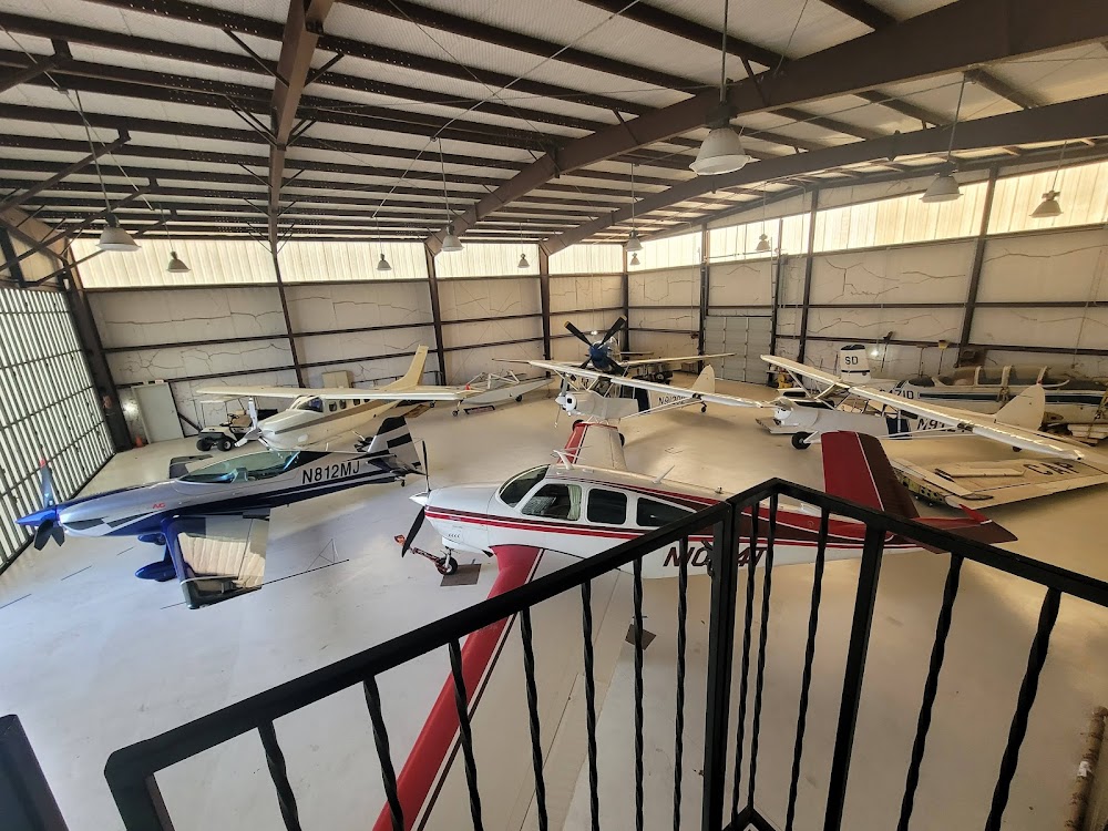
Access: Open to the public
This airport is privately owned but open to the public.
Similar Airports

Current Weather — VFR
-
Weather data is strictly informational and not for flight planning purposes.
-
METAR2026-06-09 13:53:00 CDT
Ceiling: Sky clear Wind: 110° @ 10kt, gusts 19kt Temperature: 91°F Dewpoint: 75°F Weather: N/A Visbility: 10SM Clouds: Scattered @ 3,700ft, Scattered @ 4,800ft, Scattered @ 6,500ft Raw:METAR KDWH 091853Z 11010G19KT 090V160 10SM SCT037 SCT048 SCT065 33/24 A3003 RMK AO2 SLP166 T03280239
Click/tap to add an annotation marker to the map
No webcams added yet.
Remarks
- This airport has been surveyed by the national geodetic survey.
- Twys unlgtd.
- Aft ss lrg acft use twy p btn twys e & c.
- Hel practice area west of atct at or blw 600 ft.
- Four hel prkg pads lctd east of twy k.
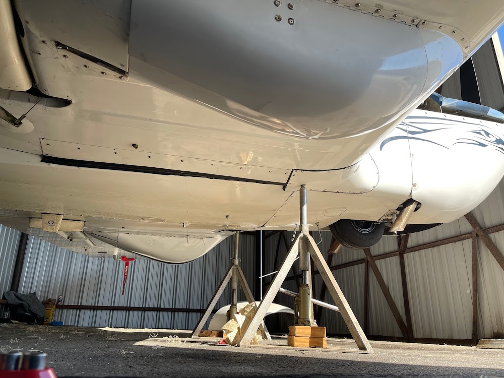
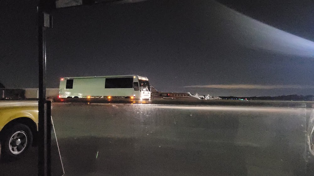
Comments