Pirep is a free, collaborative database of all public and private airports. All pilots are welcome to contribute their local knowledge to any airport, no registration required.
No upcoming events. Is anything happening here soon?
Last updated: 2024-03-28 21:36:39 MDT
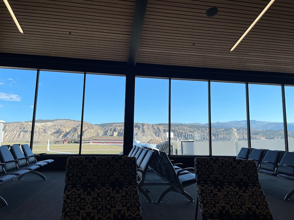
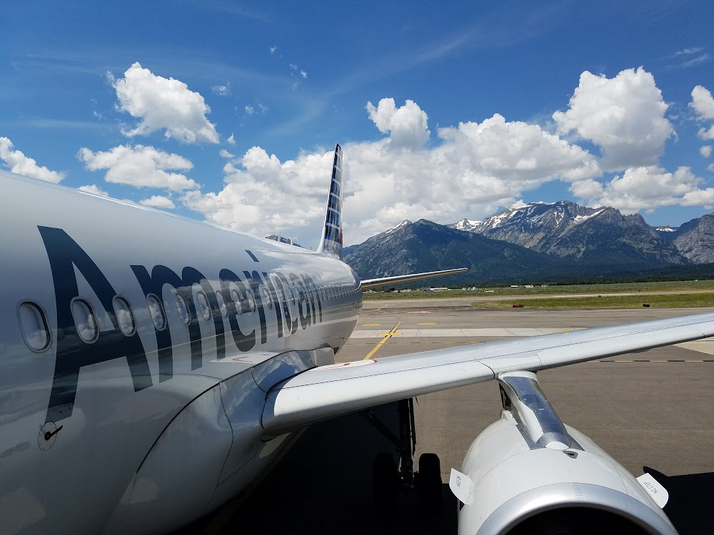
Airport Statistics
- Transient parking location
- Local flying clubs
- Airport map annotations
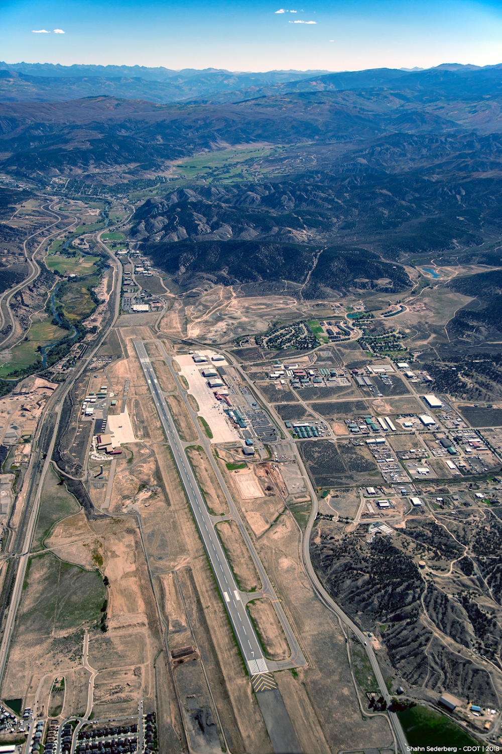
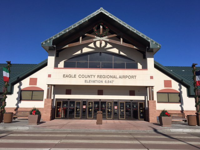
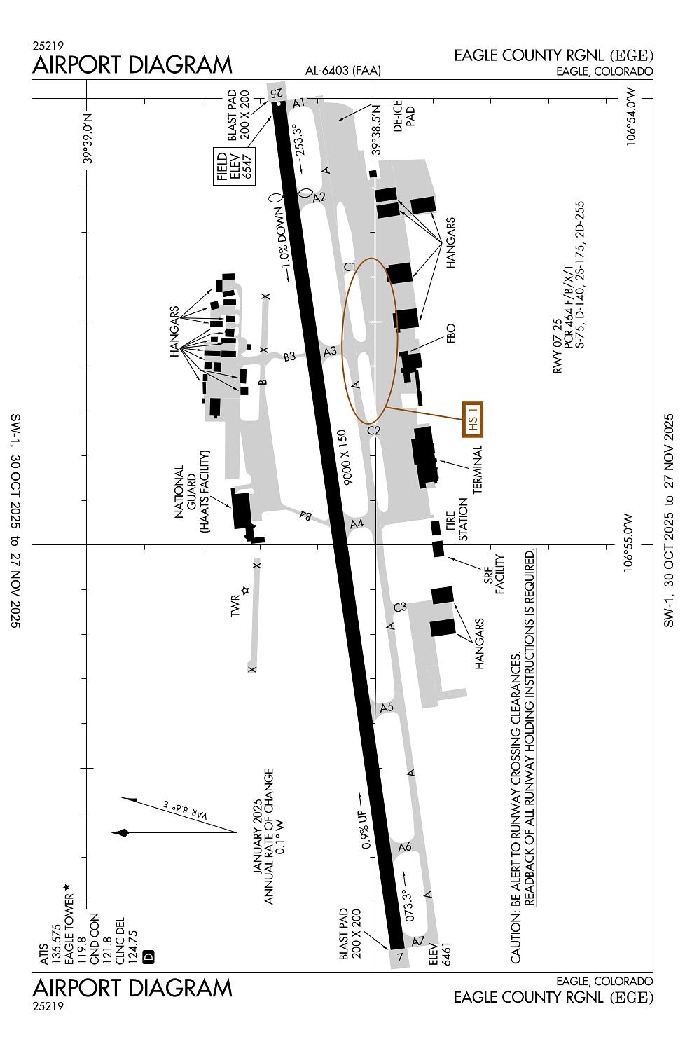
Location:
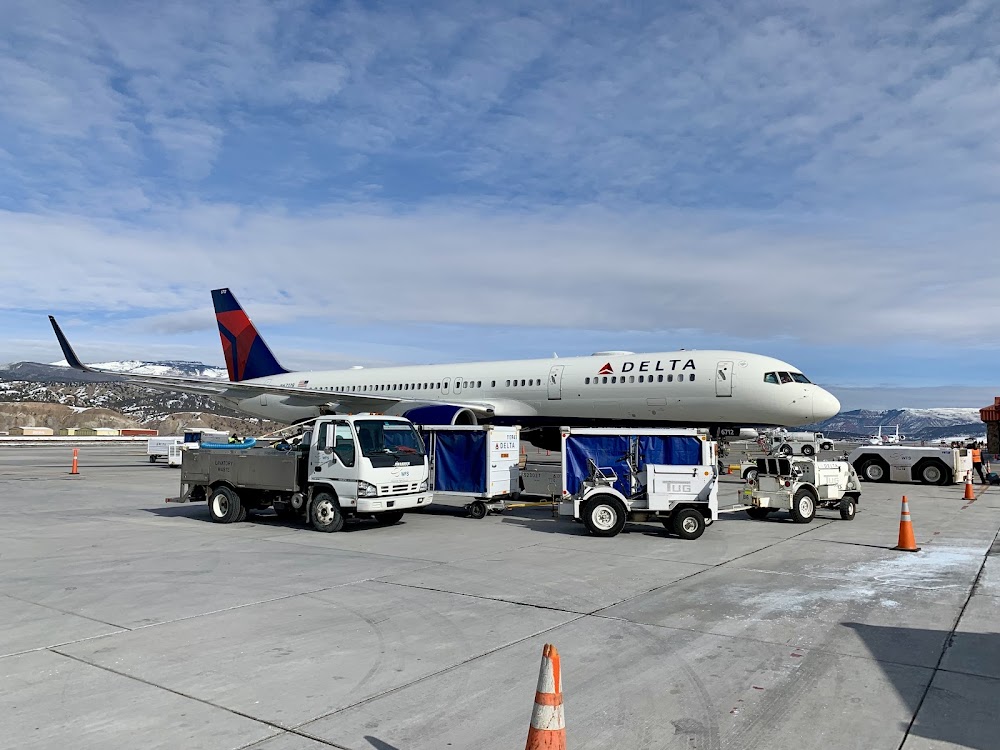
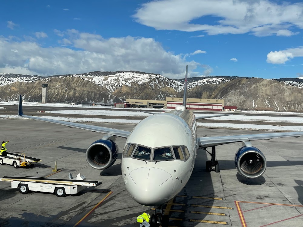
Eagle, CO
Elevation:
6,547ft
Sectional:
Denver
Activation date:
Jul 1940
Fuel:
100LL, A1, A1+, MOGAS (prices)
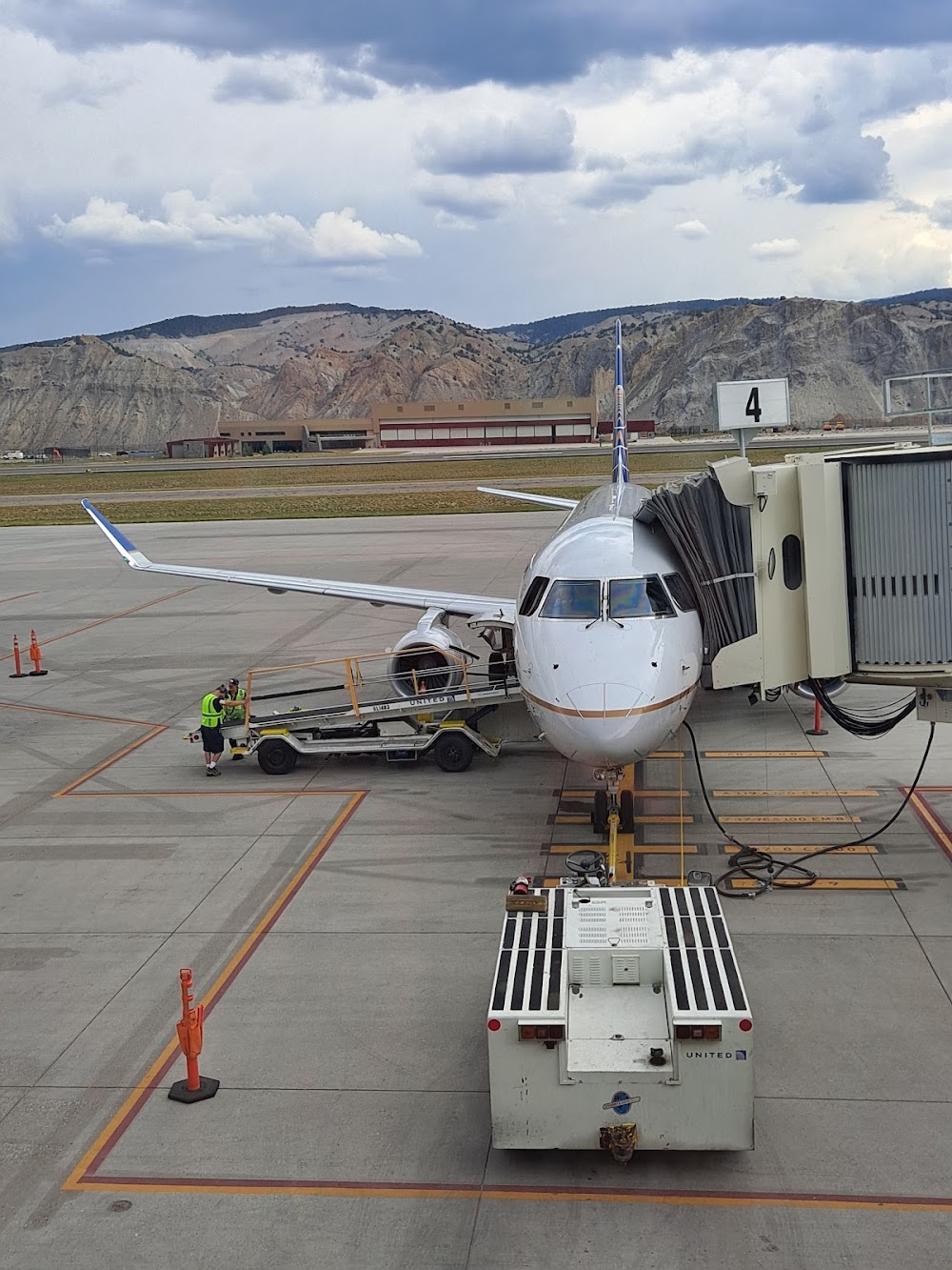
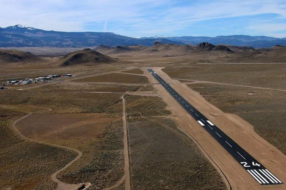
Runway 07/25:
9,000ft
Runway 25X:
0ft
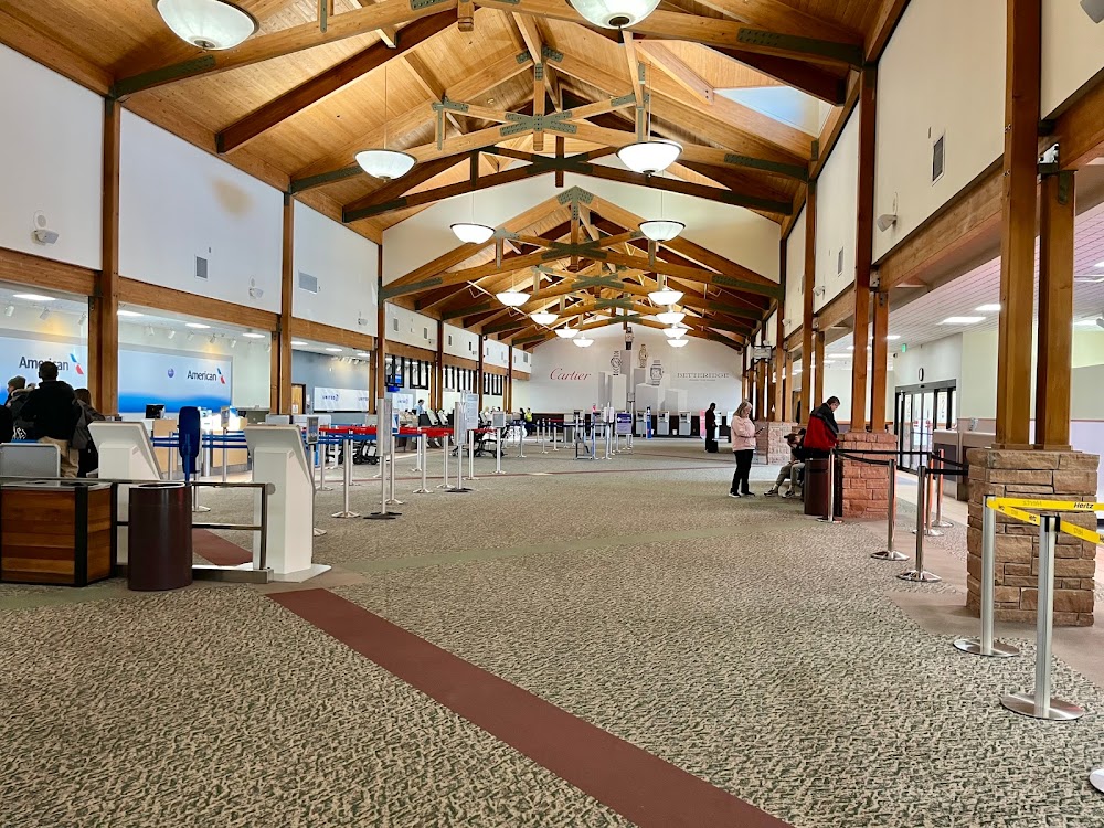
Access: Open to the public
Similar Airports

Current Weather — VFR
-
Weather data is strictly informational and not for flight planning purposes.
-
METAR2025-12-13 15:56:00 MST
Ceiling: Sky clear Wind: 280° @ 6kt Temperature: 51°F Dewpoint: 12°F Weather: N/A Visbility: 10SM Raw:METAR KEGE 132256Z 28006KT 10SM CLR 11/M11 A3030 RMK AO2 SLP253 T01111106 $ -
TAF2025-12-13 11:00:00 MST – 2025-12-13 18:00:00 MST
Ceiling: Sky clear Wind: Variable Weather: N/A Visbility: 6SM Clouds: @ ft Raw:TAF KEGE 131720Z 1318/1418 VRB04KT P6SM SKC FM140100 12004KT P6SM FEW150 -
TAF2025-12-13 18:00:00 MST – 2025-12-14 11:00:00 MST
Ceiling: Sky clear Wind: 120° @ 4kt Weather: N/A Visbility: 6SM Clouds: Few @ 15,000ft Raw:TAF KEGE 131720Z 1318/1418 VRB04KT P6SM SKC FM140100 12004KT P6SM FEW150
Click/tap to add an annotation marker to the map
Remarks
- Unsked acr opns with more than 30 psgr seats call arpt fire dept 970-328-2688.
- No snow removal or rwy monitoring nov-apr 0600-1300z.
- Extensive military helicopter training operations surface to 1000 ft agl within 25 nm radius eagle county airport 0630-2200.
- Hi unmkd terrain all quads. ngt opns discouraged to pilots unfam with arpt.
- Recommend all acft dept rwy 25 initiate a left turn as soon as altitude & safety permit to avoid high terrain.
Comments