Pirep is a free, collaborative database of all public and private airports. All pilots are welcome to contribute their local knowledge to any airport, no registration required.
No upcoming events. Is anything happening here soon?
Last updated: 2023-05-09 23:27:26 MDT
Last updated: 2024-02-13 21:16:30 MST
Airport Statistics
- WiFi availability
- Webcam links
- Crew car availability
Location:
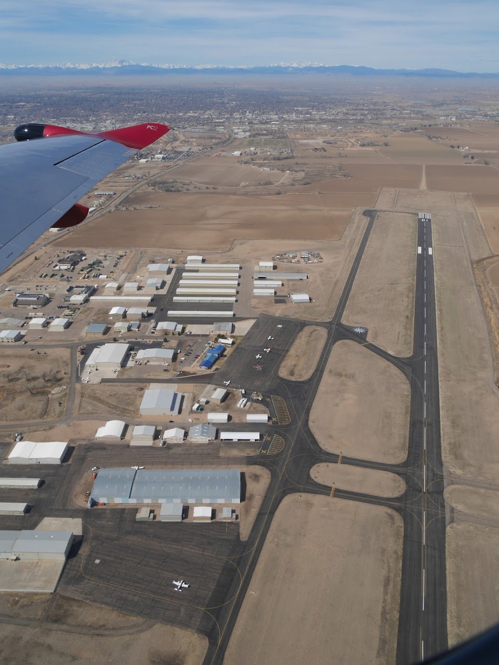
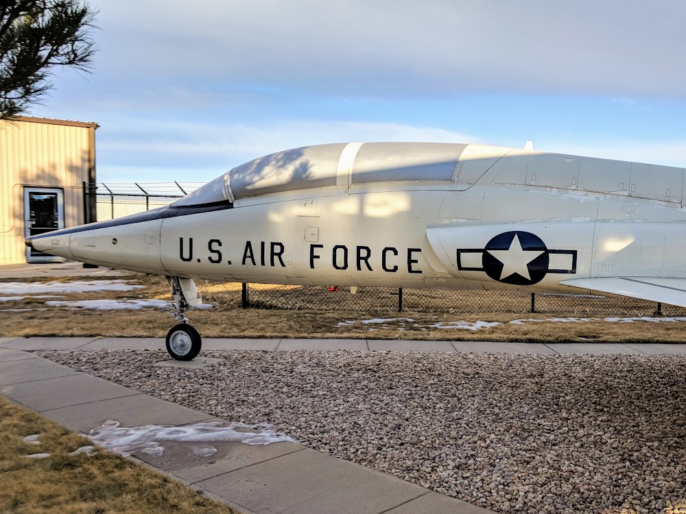
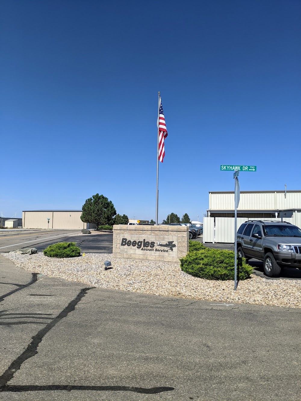
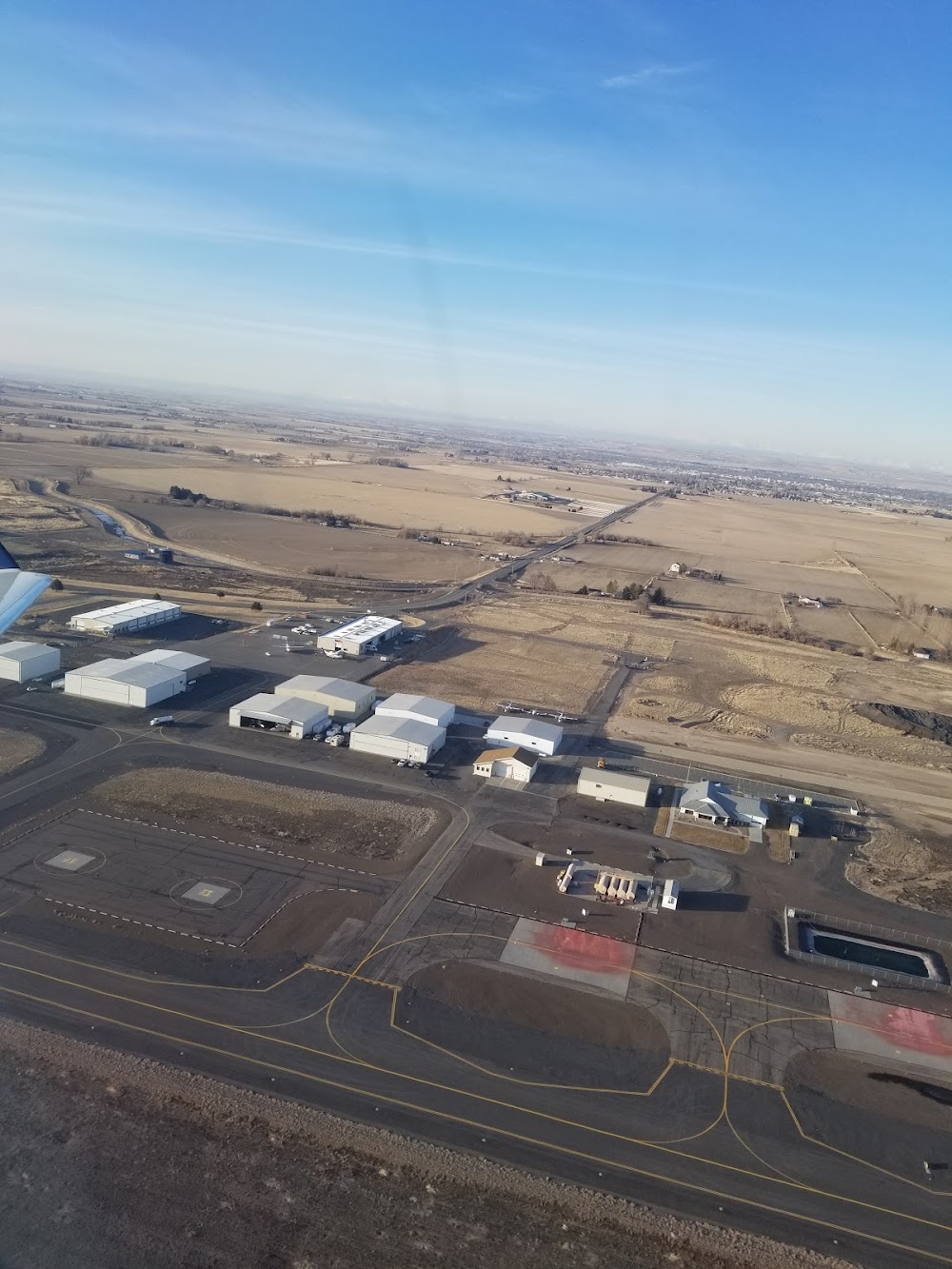
Greeley, CO
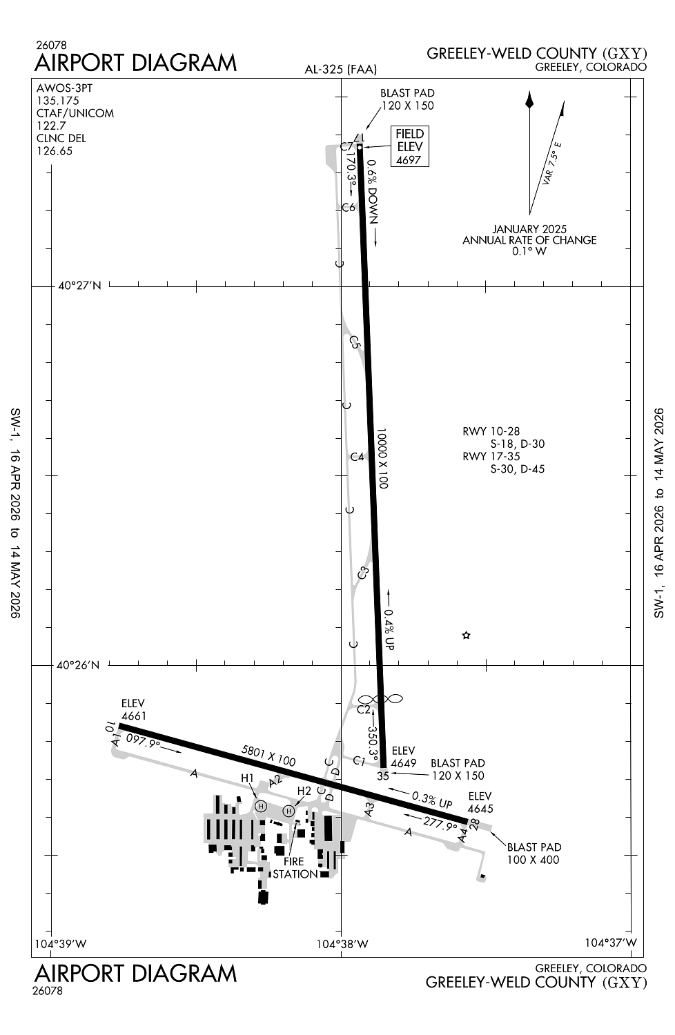
Elevation:
4,696ft
Sectional:
Cheyenne
Activation date:
Oct 1944
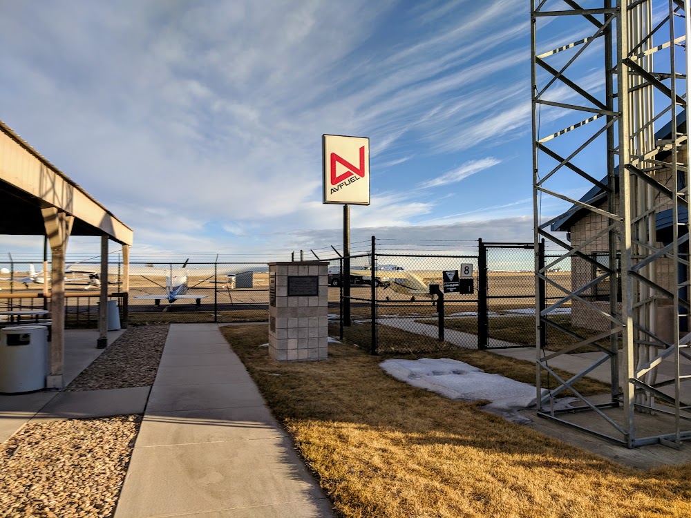
Fuel:
100LL, A (prices)
Runway 17/35:
10,000ft
Runway 10/28:
5,801ft
Runway H1:
20ft
Runway H2:
20ft
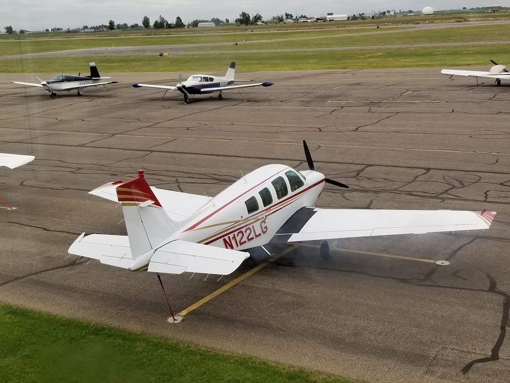
Access: Open to the public
Similar Airports

Current Weather — IFR
-
Weather data is strictly informational and not for flight planning purposes.
-
METAR2026-05-05 23:16:00 MDT
Ceiling: 500ft Wind: 050° @ 8kt Temperature: 33°F Dewpoint: 32°F Weather: Light snow, mist Visbility: 2SM Clouds: Overcast @ 500ft Raw:SPECI KGXY 060516Z AUTO 05008KT 2SM -SN BR OVC005 01/00 A3005 RMK AO2 CIG 003V009 P0001 FZRANO
Click/tap to add an annotation marker to the map
No webcams added yet.
Remarks
- This airport has been surveyed by the national geodetic survey.
- Rwy 17/35 preferred use when x wind cmpt exceeds 12 kt on rwy 10/28.
- Rwy 35 preferred use when wind less than 5 kts. rwy 35 preferred for tgl.
- Wildlife & birds on & invof aprt.
- Oil drilling rigs up to 120 ft on and invof arpt.
Comments