Pirep is a free, collaborative database of all public and private airports. All pilots are welcome to contribute their local knowledge to any airport, no registration required.
No upcoming events. Is anything happening here soon?
Last updated: 2023-06-11 23:57:34 MDT
Airport Statistics
- Webcam links
- Landing & tie-down fees
- Airport map annotations
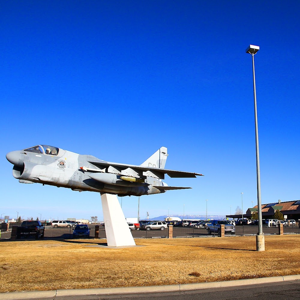
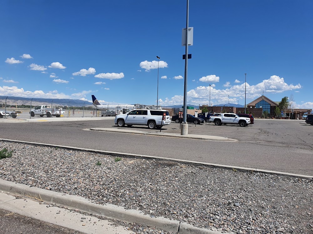
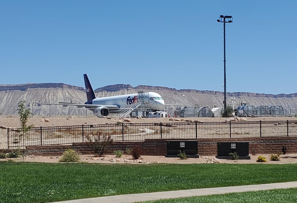
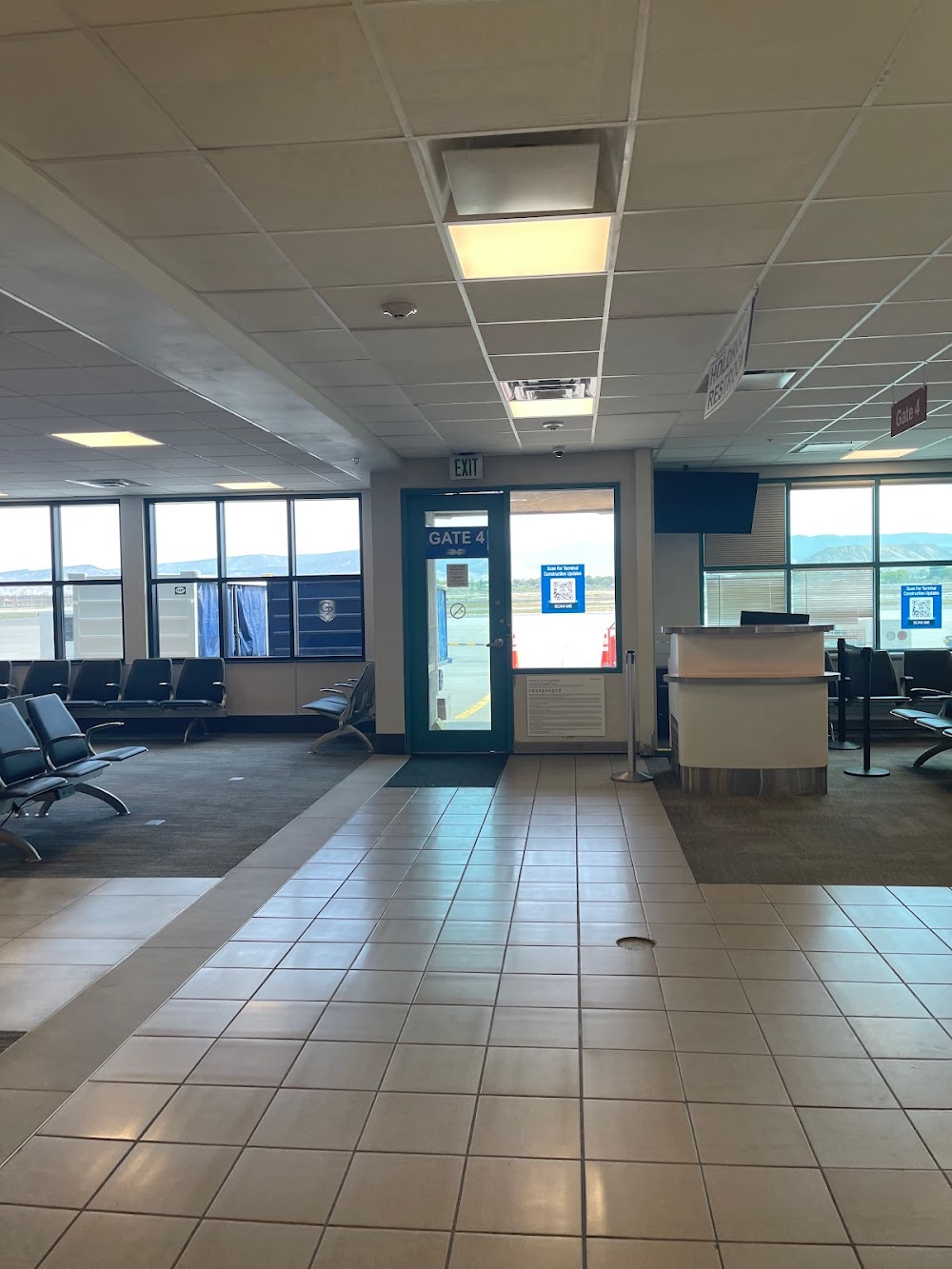
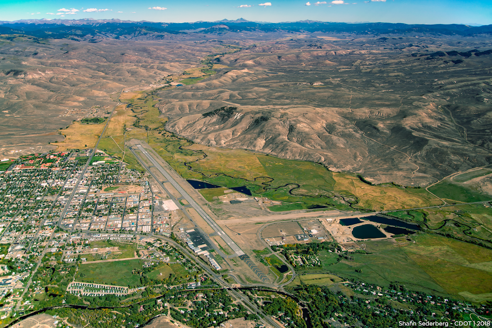
Location:
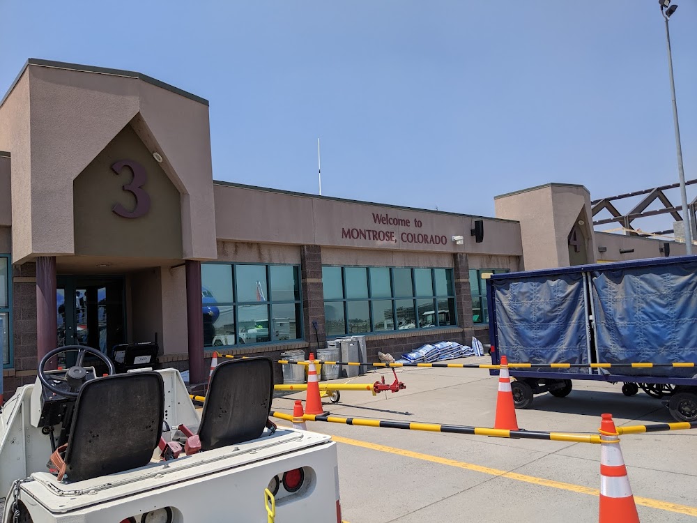
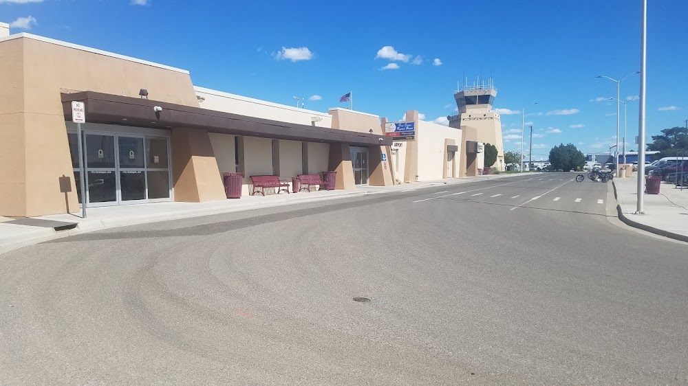
Montrose, CO
Elevation:
5,758ft
Sectional:
Denver
Activation date:
Sep 1946
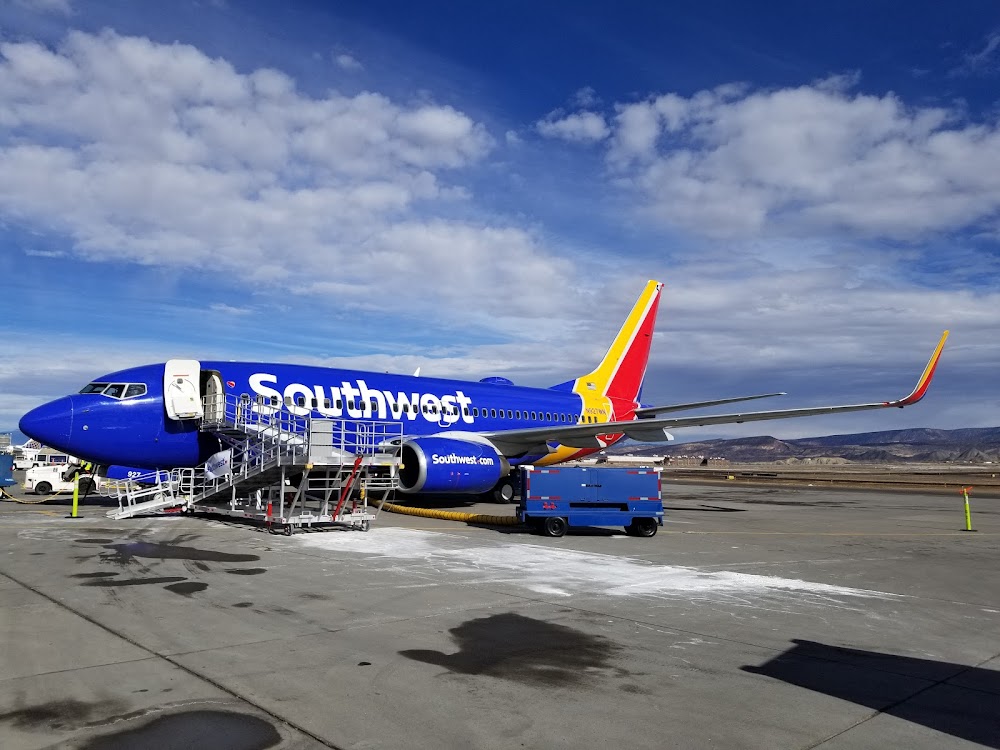
Fuel:
100LL, A+ (prices)
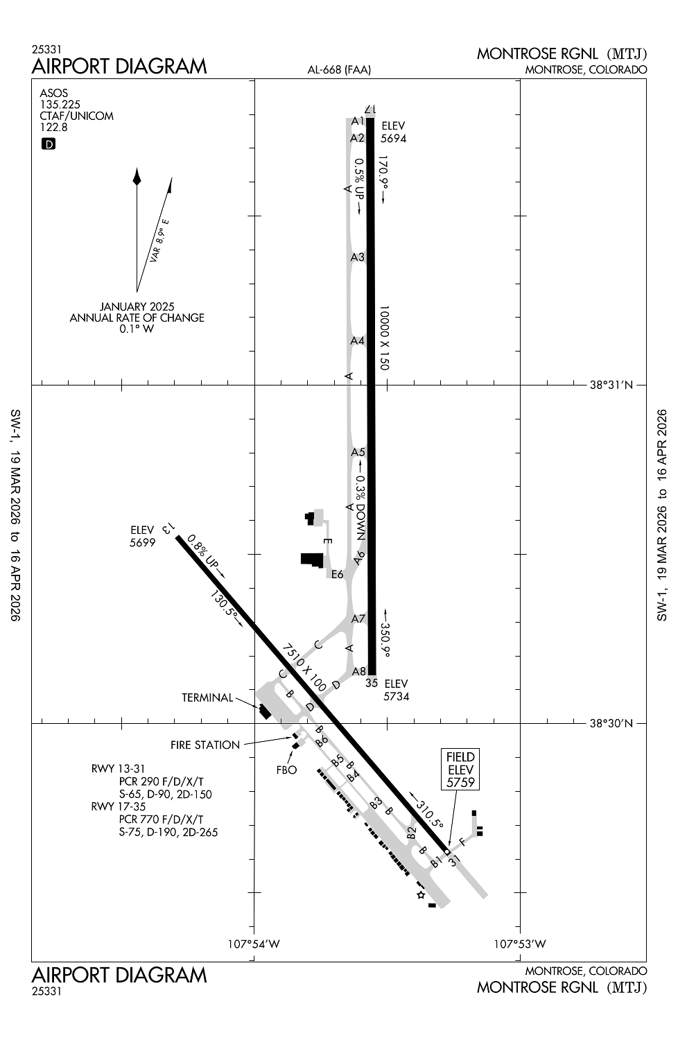
Runway 17/35:
10,000ft
Runway 13/31:
7,510ft
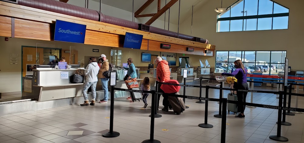
Access: Open to the public
Similar Airports
Current Weather — VFR
-
Weather data is strictly informational and not for flight planning purposes.
-
METAR2026-03-25 13:53:00 MDT
Ceiling: Sky clear Wind: 320° @ 5kt Temperature: 82°F Dewpoint: 32°F Weather: N/A Visbility: 10SM Raw:METAR KMTJ 251953Z AUTO 32005KT 10SM CLR 28/00 A3011 RMK AO2 SLP120 T02780000 -
TAF2026-03-25 12:00:00 MDT – 2026-03-25 15:00:00 MDT
Ceiling: Sky clear Wind: 330° @ 6kt Weather: N/A Visbility: 6SM Clouds: @ ft Raw:TAF KMTJ 251737Z 2518/2618 33006KT P6SM SKC FM252100 27010KT P6SM SKC FM260100 24012KT P6SM SKC FM260300 15009KT P6SM SKC FM261300 VRB05KT P6SM SKC -
TAF2026-03-25 15:00:00 MDT – 2026-03-25 19:00:00 MDT
Ceiling: Sky clear Wind: 270° @ 10kt Weather: N/A Visbility: 6SM Clouds: @ ft Raw:TAF KMTJ 251737Z 2518/2618 33006KT P6SM SKC FM252100 27010KT P6SM SKC FM260100 24012KT P6SM SKC FM260300 15009KT P6SM SKC FM261300 VRB05KT P6SM SKC -
TAF2026-03-25 19:00:00 MDT – 2026-03-25 21:00:00 MDT
Ceiling: Sky clear Wind: 240° @ 12kt Weather: N/A Visbility: 6SM Clouds: @ ft Raw:TAF KMTJ 251737Z 2518/2618 33006KT P6SM SKC FM252100 27010KT P6SM SKC FM260100 24012KT P6SM SKC FM260300 15009KT P6SM SKC FM261300 VRB05KT P6SM SKC -
TAF2026-03-25 21:00:00 MDT – 2026-03-26 07:00:00 MDT
Ceiling: Sky clear Wind: 150° @ 9kt Weather: N/A Visbility: 6SM Clouds: @ ft Raw:TAF KMTJ 251737Z 2518/2618 33006KT P6SM SKC FM252100 27010KT P6SM SKC FM260100 24012KT P6SM SKC FM260300 15009KT P6SM SKC FM261300 VRB05KT P6SM SKC -
TAF2026-03-26 07:00:00 MDT – 2026-03-26 12:00:00 MDT
Ceiling: Sky clear Wind: Variable Weather: N/A Visbility: 6SM Clouds: @ ft Raw:TAF KMTJ 251737Z 2518/2618 33006KT P6SM SKC FM252100 27010KT P6SM SKC FM260100 24012KT P6SM SKC FM260300 15009KT P6SM SKC FM261300 VRB05KT P6SM SKC
Click/tap to add an annotation marker to the map
No webcams added yet.
Remarks
- Unsked acr ops more than 30 pax seats 24 hr ppr - amgr.
- Birds & wildlife on & invof arpt.
- Acr aces trml ramp via twy c; oubd tfc twy d.
- Ramp cnctr adj to t hngr row clsd indef; twy e & e6 clsd exc wingspan less than 78 ft.
- Twy b ltd to sngl wheel max 80000 lb; dbl wheel max 105000 lb; dbl tand wheel max 170000 lb.
Comments