Pirep is a free, collaborative database of all public and private airports. All pilots are welcome to contribute their local knowledge to any airport, no registration required.
No upcoming events. Is anything happening here soon?
Last updated: 2024-03-28 21:48:30 MDT
Airport Statistics
- WiFi availability
- Local flying clubs
- Transient parking location
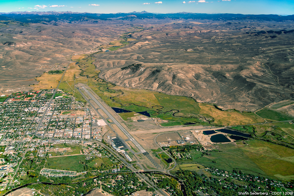
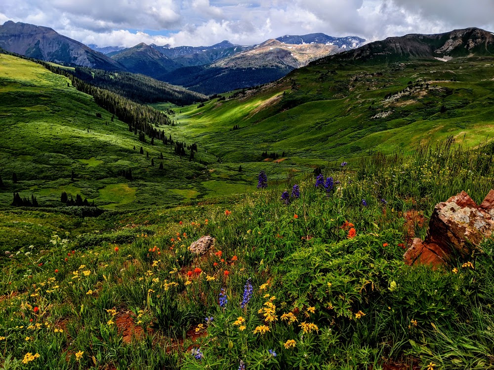
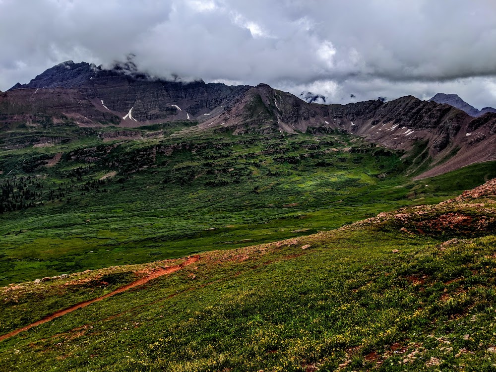
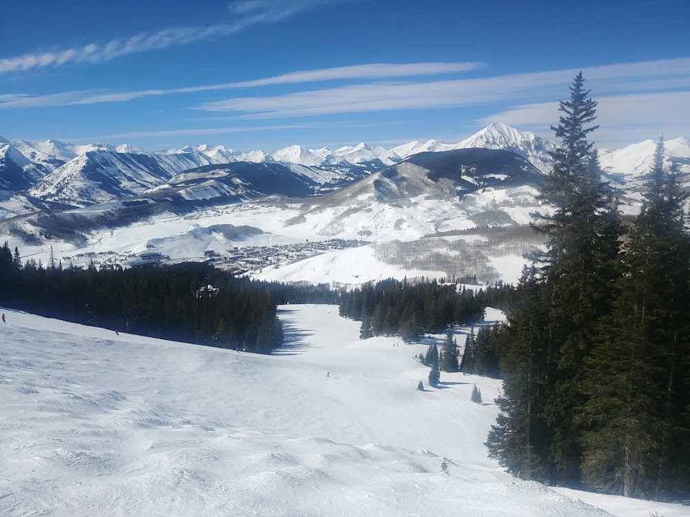
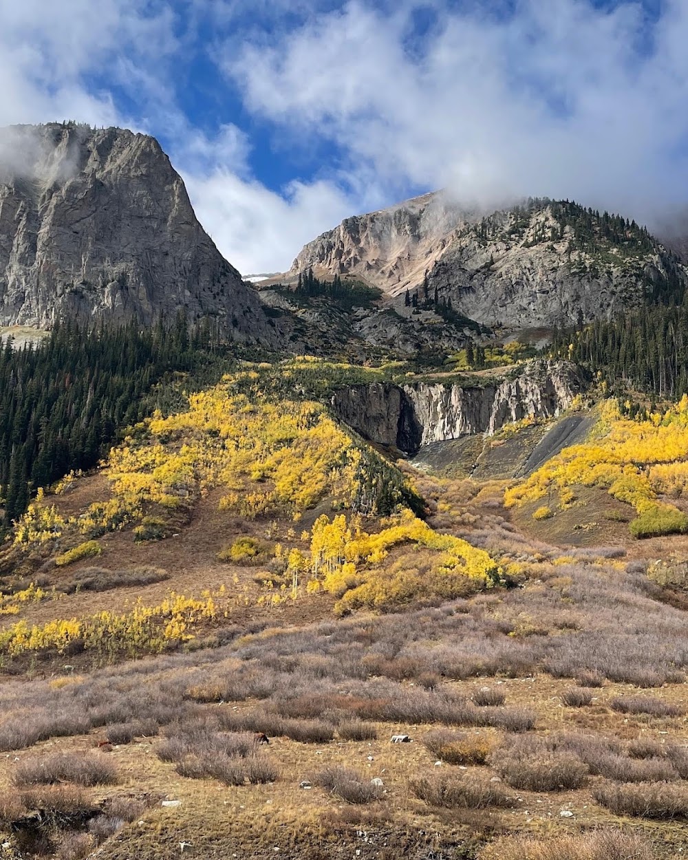
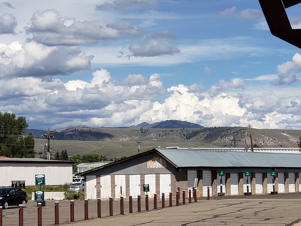
Location:
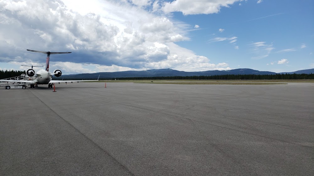
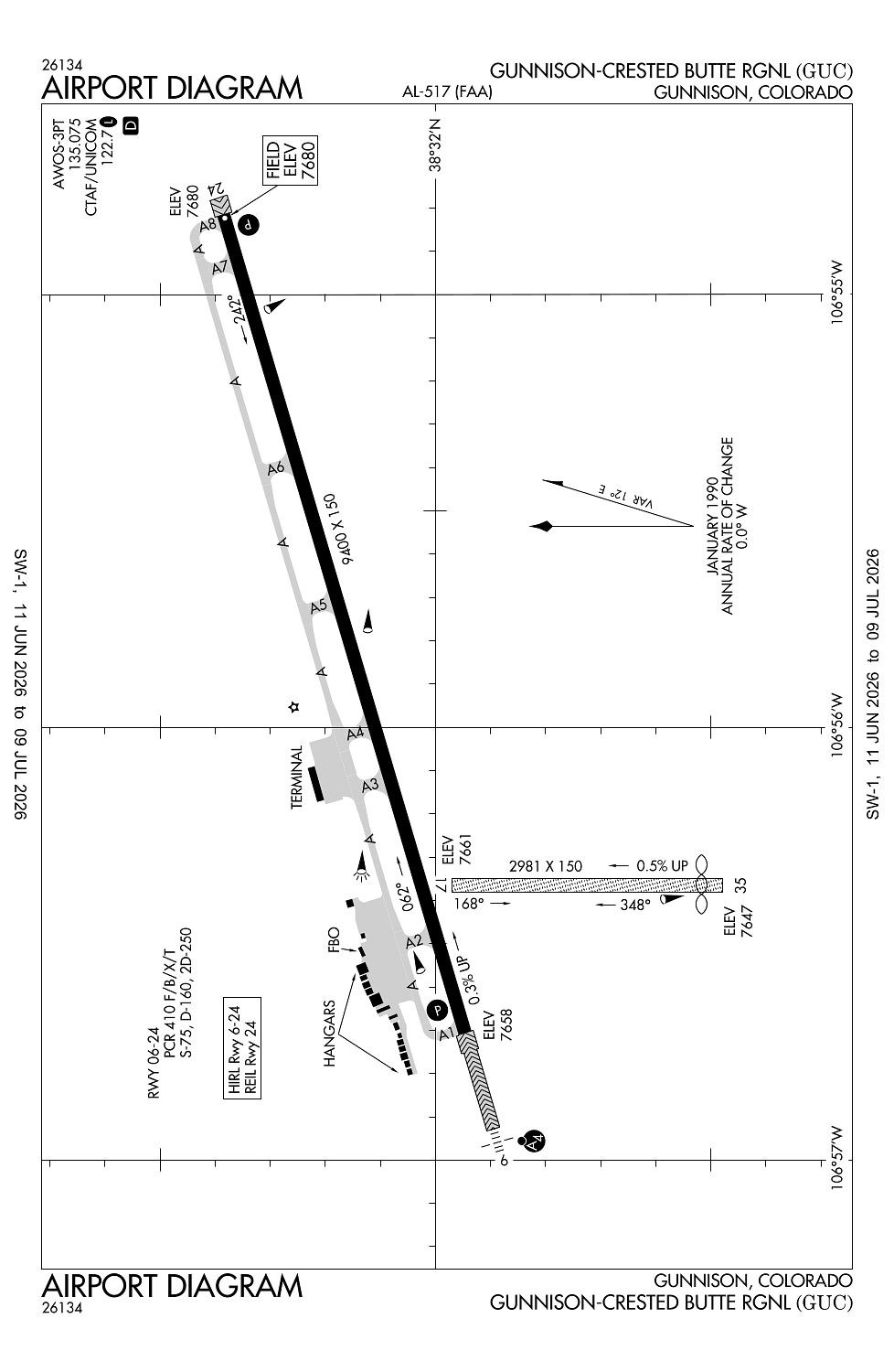
Gunnison, CO
Elevation:
7,679ft
Sectional:
Denver
Activation date:
Aug 1947
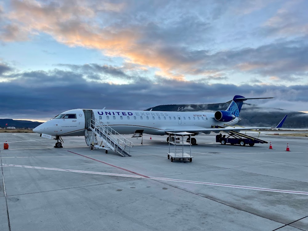
Fuel:
100LL, A+ (prices)
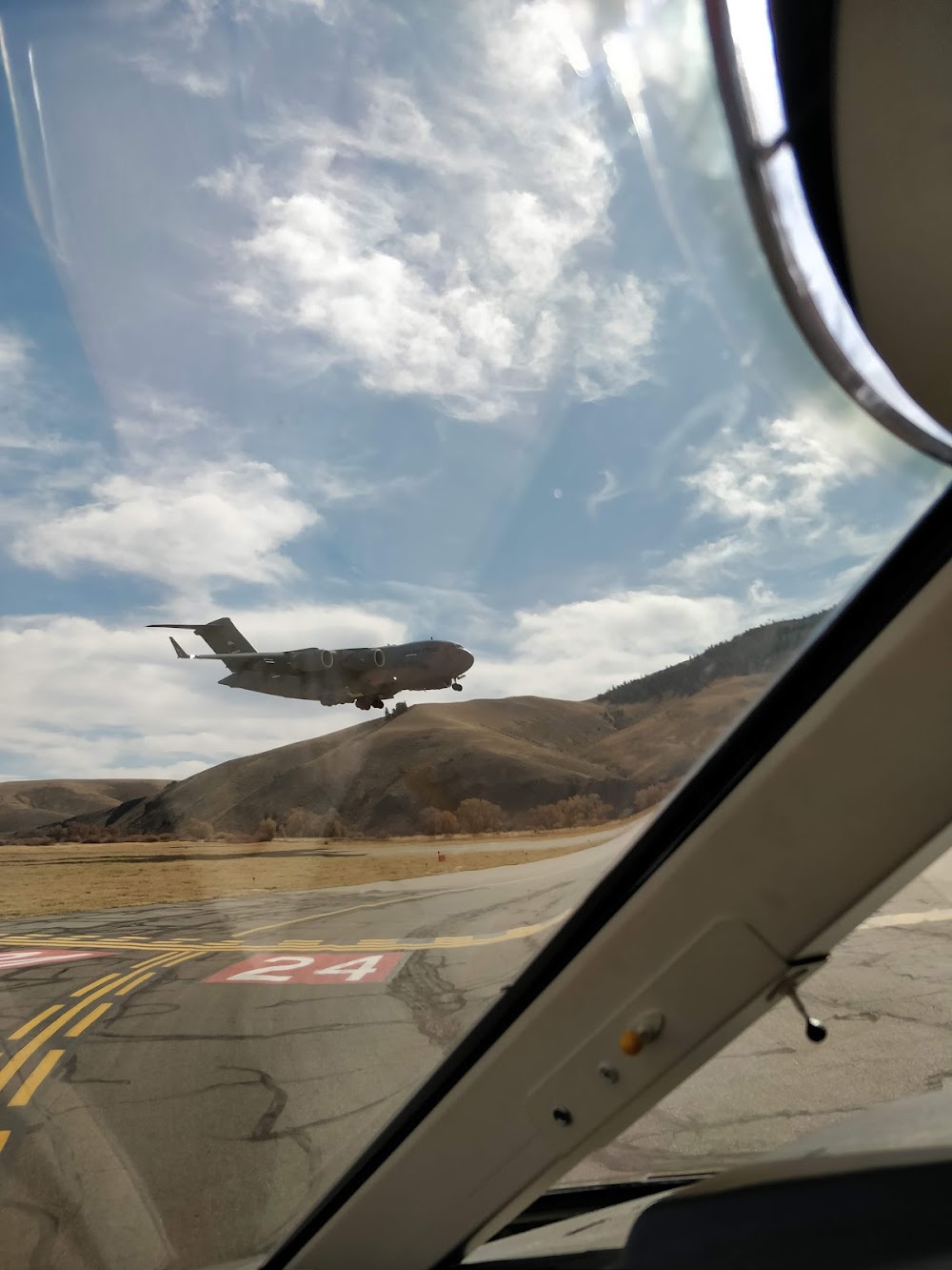
Runway 06/24:
9,400ft
Runway 17/35:
2,981ft
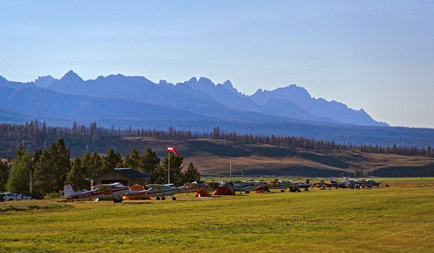
Access: Open to the public
Similar Airports
Current Weather — VFR
-
Weather data is strictly informational and not for flight planning purposes.
-
METAR2026-07-29 09:56:00 MDT
Ceiling: Sky clear Wind: Calm Temperature: 71°F Dewpoint: 51°F Weather: N/A Visbility: 10SM Raw:METAR KGUC 291556Z AUTO 00000KT 10SM CLR 22/11 A3035 RMK AO2 SLP175 T02170106 $ -
TAF2026-07-29 06:00:00 MDT – 2026-07-29 13:00:00 MDT
Ceiling: 15,000ft Wind: Variable Weather: N/A Visbility: 6SM Clouds: Scattered @ 8,000ft, Broken @ 15,000ft Raw:TAF KGUC 291120Z 2912/3012 VRB04KT P6SM SCT080 BKN150 FM291900 28005KT P6SM SCT080 BKN150 PROB30 2919/2921 VRB15G25KT -TSRA BKN080CB BKN100 FM292100 29009KT P6SM -TSRA SCT080CB BKN100 FM300000 03008KT P6SM SCT100 BKN150 PROB30 3000/3006 VRB15G25KT -TSRA BKN080CB BKN100 FM300600 VRB04KT P6SM SCT080 BKN120 -
TAF2026-07-29 13:00:00 MDT – 2026-07-29 15:00:00 MDT
Ceiling: 8,000ft Wind: Variable, gusts 25kt Weather: Light thunderstorm rain Visbility: SM Clouds: Broken @ 8,000ft, Broken @ 10,000ft Raw:TAF KGUC 291120Z 2912/3012 VRB04KT P6SM SCT080 BKN150 FM291900 28005KT P6SM SCT080 BKN150 PROB30 2919/2921 VRB15G25KT -TSRA BKN080CB BKN100 FM292100 29009KT P6SM -TSRA SCT080CB BKN100 FM300000 03008KT P6SM SCT100 BKN150 PROB30 3000/3006 VRB15G25KT -TSRA BKN080CB BKN100 FM300600 VRB04KT P6SM SCT080 BKN120 -
TAF2026-07-29 13:00:00 MDT – 2026-07-29 15:00:00 MDT
Ceiling: 15,000ft Wind: 280° @ 5kt Weather: N/A Visbility: 6SM Clouds: Scattered @ 8,000ft, Broken @ 15,000ft Raw:TAF KGUC 291120Z 2912/3012 VRB04KT P6SM SCT080 BKN150 FM291900 28005KT P6SM SCT080 BKN150 PROB30 2919/2921 VRB15G25KT -TSRA BKN080CB BKN100 FM292100 29009KT P6SM -TSRA SCT080CB BKN100 FM300000 03008KT P6SM SCT100 BKN150 PROB30 3000/3006 VRB15G25KT -TSRA BKN080CB BKN100 FM300600 VRB04KT P6SM SCT080 BKN120 -
TAF2026-07-29 15:00:00 MDT – 2026-07-29 18:00:00 MDT
Ceiling: 10,000ft Wind: 290° @ 9kt Weather: Light thunderstorm rain Visbility: 6SM Clouds: Scattered @ 8,000ft, Broken @ 10,000ft Raw:TAF KGUC 291120Z 2912/3012 VRB04KT P6SM SCT080 BKN150 FM291900 28005KT P6SM SCT080 BKN150 PROB30 2919/2921 VRB15G25KT -TSRA BKN080CB BKN100 FM292100 29009KT P6SM -TSRA SCT080CB BKN100 FM300000 03008KT P6SM SCT100 BKN150 PROB30 3000/3006 VRB15G25KT -TSRA BKN080CB BKN100 FM300600 VRB04KT P6SM SCT080 BKN120 -
TAF2026-07-29 18:00:00 MDT – 2026-07-30 00:00:00 MDT
Ceiling: 15,000ft Wind: 030° @ 8kt Weather: N/A Visbility: 6SM Clouds: Scattered @ 10,000ft, Broken @ 15,000ft Raw:TAF KGUC 291120Z 2912/3012 VRB04KT P6SM SCT080 BKN150 FM291900 28005KT P6SM SCT080 BKN150 PROB30 2919/2921 VRB15G25KT -TSRA BKN080CB BKN100 FM292100 29009KT P6SM -TSRA SCT080CB BKN100 FM300000 03008KT P6SM SCT100 BKN150 PROB30 3000/3006 VRB15G25KT -TSRA BKN080CB BKN100 FM300600 VRB04KT P6SM SCT080 BKN120 -
TAF2026-07-29 18:00:00 MDT – 2026-07-30 00:00:00 MDT
Ceiling: 8,000ft Wind: Variable, gusts 25kt Weather: Light thunderstorm rain Visbility: SM Clouds: Broken @ 8,000ft, Broken @ 10,000ft Raw:TAF KGUC 291120Z 2912/3012 VRB04KT P6SM SCT080 BKN150 FM291900 28005KT P6SM SCT080 BKN150 PROB30 2919/2921 VRB15G25KT -TSRA BKN080CB BKN100 FM292100 29009KT P6SM -TSRA SCT080CB BKN100 FM300000 03008KT P6SM SCT100 BKN150 PROB30 3000/3006 VRB15G25KT -TSRA BKN080CB BKN100 FM300600 VRB04KT P6SM SCT080 BKN120 -
TAF2026-07-30 00:00:00 MDT – 2026-07-30 06:00:00 MDT
Ceiling: 12,000ft Wind: Variable Weather: N/A Visbility: 6SM Clouds: Scattered @ 8,000ft, Broken @ 12,000ft Raw:TAF KGUC 291120Z 2912/3012 VRB04KT P6SM SCT080 BKN150 FM291900 28005KT P6SM SCT080 BKN150 PROB30 2919/2921 VRB15G25KT -TSRA BKN080CB BKN100 FM292100 29009KT P6SM -TSRA SCT080CB BKN100 FM300000 03008KT P6SM SCT100 BKN150 PROB30 3000/3006 VRB15G25KT -TSRA BKN080CB BKN100 FM300600 VRB04KT P6SM SCT080 BKN120
Click/tap to add an annotation marker to the map
Remarks
- Rotg bcn opers ss-2230 & 0600-sr.
- Clsd to unsked acr ops with more than 30 pax seats excp ppr. call amgr 970-641-2304.
- High trrn all quads.
- Rwy 17/35 clsd 1 dec - 1 may.
- Cold temperature airport. altitude correction required at or below -25c.
Comments