Pirep is a free, collaborative database of all public and private airports. All pilots are welcome to contribute their local knowledge to any airport, no registration required.
No upcoming events. Is anything happening here soon?
Last updated: 2024-02-27 22:59:44 EST
Last updated: 2024-02-27 22:59:44 EST
Airport Statistics
- Webcam links
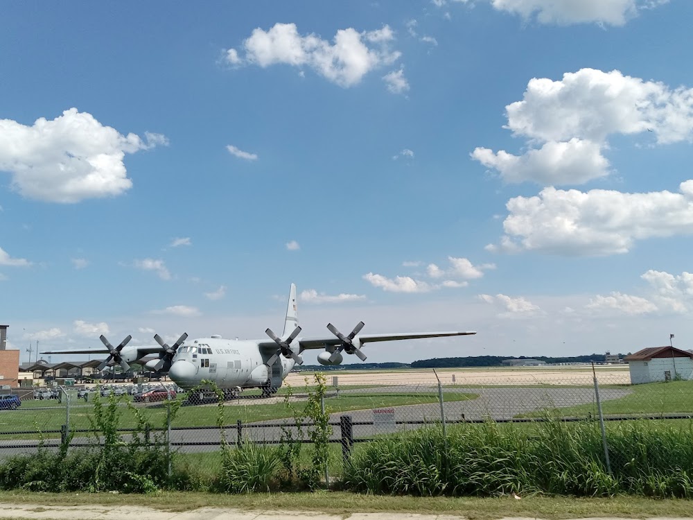
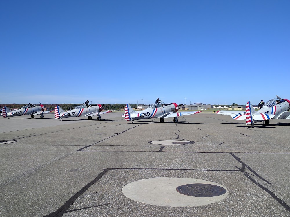
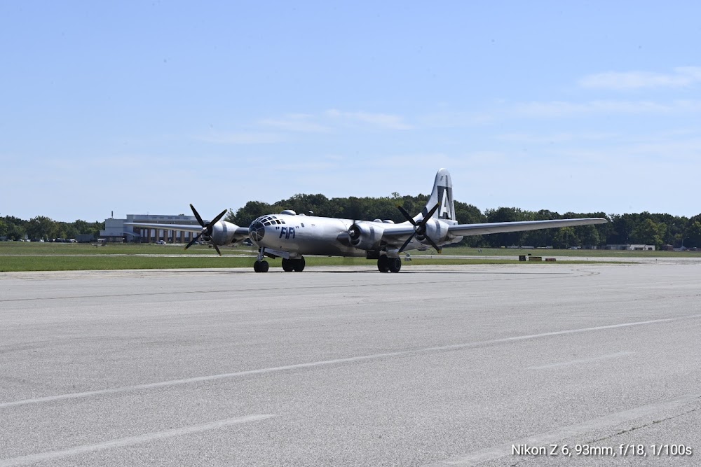
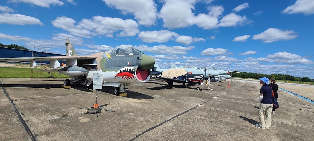
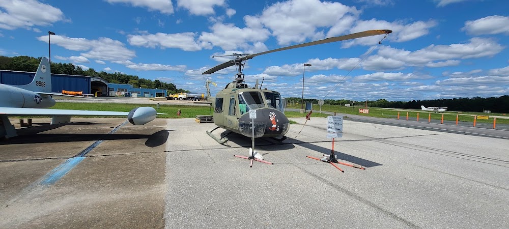
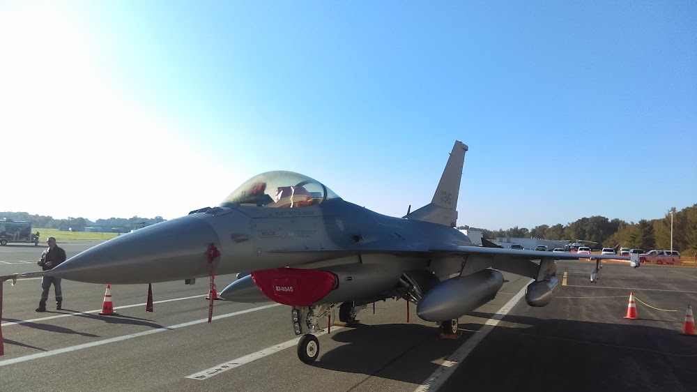
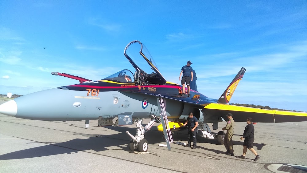
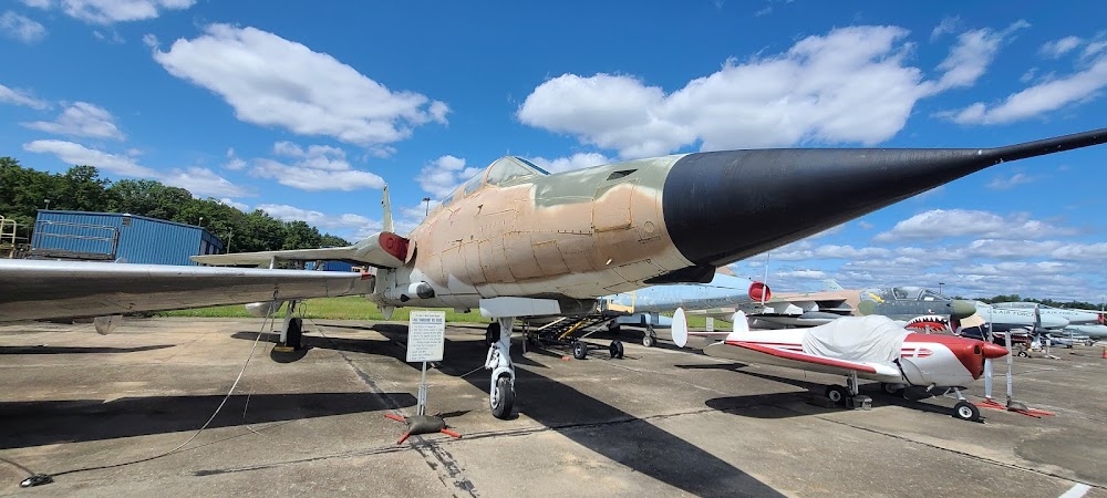
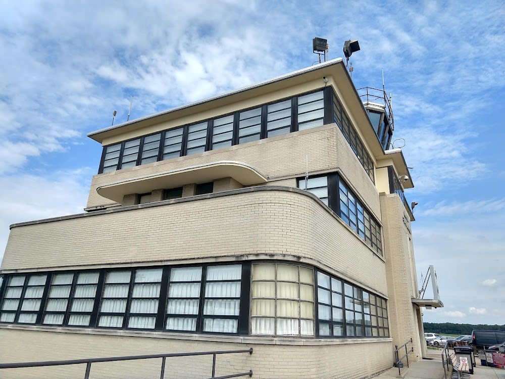
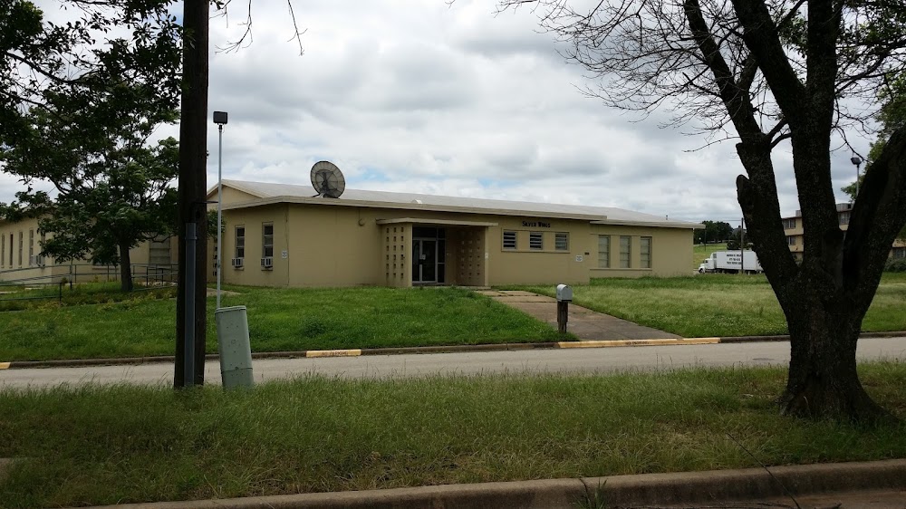
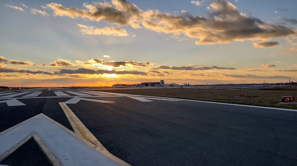
- Airport photos
- Landing & tie-down fees
Location:
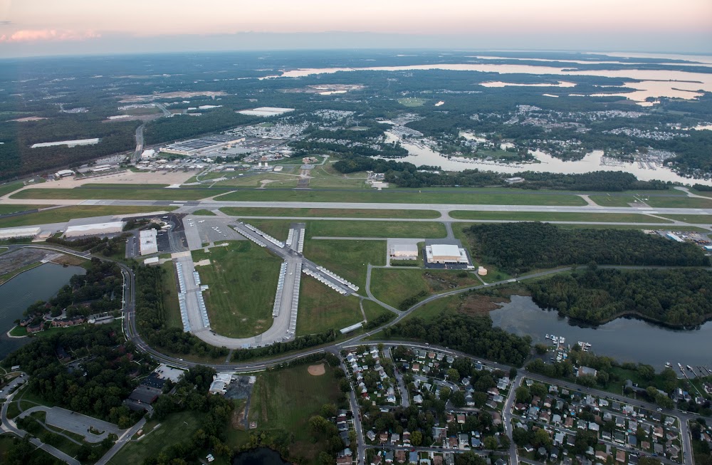
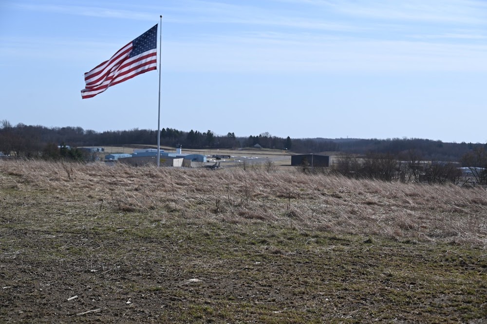
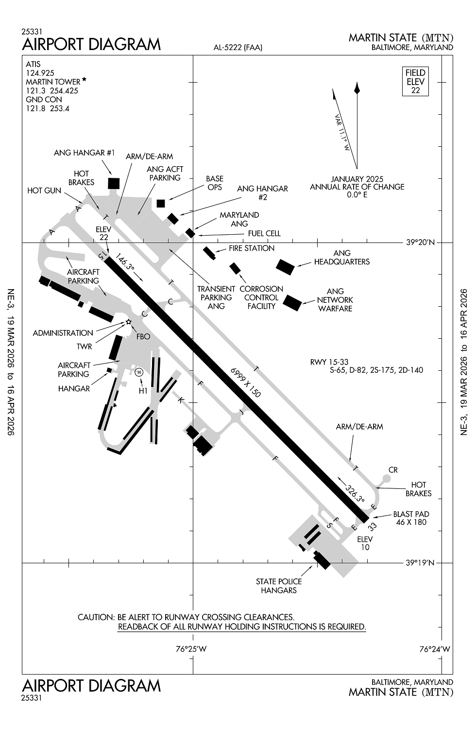
Baltimore, MD
Elevation:
22ft
Sectional:
Washington
Activation date:
Apr 1940
Fuel:
100LL, A+ (prices)
Runway 15/33:
6,999ft
Runway H1:
60ft
Access: Open to the public
Similar Airports
Current Weather — VFR
-
Weather data is strictly informational and not for flight planning purposes.
-
METAR2026-03-24 22:15:00 EDT
Ceiling: Sky clear Wind: Calm Temperature: 43°F Dewpoint: 29°F Weather: N/A Visbility: 10SM Raw:METAR KMTN 250215Z AUTO 00000KT 10SM CLR 07/M01 A3040 RMK AO2 T00661015 -
TAF2026-03-24 20:00:00 EDT – 2026-03-25 00:00:00 EDT
Ceiling: 25,000ft Wind: 190° @ 8kt Weather: N/A Visbility: 6SM Clouds: Broken @ 25,000ft Raw:TAF KMTN 242321Z 2500/2524 19008KT P6SM BKN250 FM250400 16002KT P6SM SCT120 BKN250 FM251600 17008KT P6SM SCT200 -
TAF2026-03-25 00:00:00 EDT – 2026-03-25 12:00:00 EDT
Ceiling: 25,000ft Wind: 160° @ 2kt Weather: N/A Visbility: 6SM Clouds: Scattered @ 12,000ft, Broken @ 25,000ft Raw:TAF KMTN 242321Z 2500/2524 19008KT P6SM BKN250 FM250400 16002KT P6SM SCT120 BKN250 FM251600 17008KT P6SM SCT200 -
TAF2026-03-25 12:00:00 EDT – 2026-03-25 20:00:00 EDT
Ceiling: Sky clear Wind: 170° @ 8kt Weather: N/A Visbility: 6SM Clouds: Scattered @ 20,000ft Raw:TAF KMTN 242321Z 2500/2524 19008KT P6SM BKN250 FM250400 16002KT P6SM SCT120 BKN250 FM251600 17008KT P6SM SCT200
Click/tap to add an annotation marker to the map
No webcams added yet.
Remarks
- Noise abatement procs in efct. when atct clsd no practice lndgs or apchs.
- Seagulls on & invof arpt.
- Arpt conds unmon 2300-0600.
- Mowing ops conducted durg dalgt.
- Ppr for practice tkofs & lndgs for acft weighing more than 12500 lbs.
Comments