Pirep is a free, collaborative database of all public and private airports. All pilots are welcome to contribute their local knowledge to any airport, no registration required.
No upcoming events. Is anything happening here soon?
Last updated: 2023-12-08 13:56:27 HST
Last updated: 2023-12-08 13:56:27 HST
Airport Statistics
- Local flying clubs
- WiFi availability
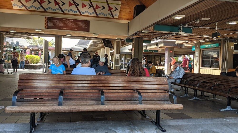
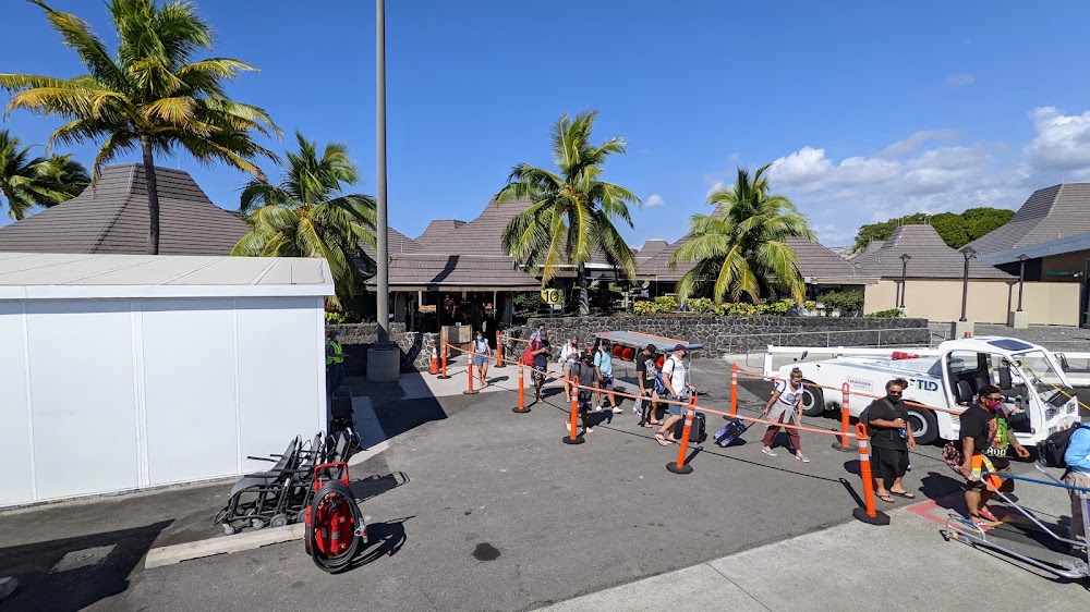
- Transient parking location
Location:
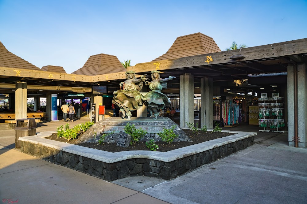
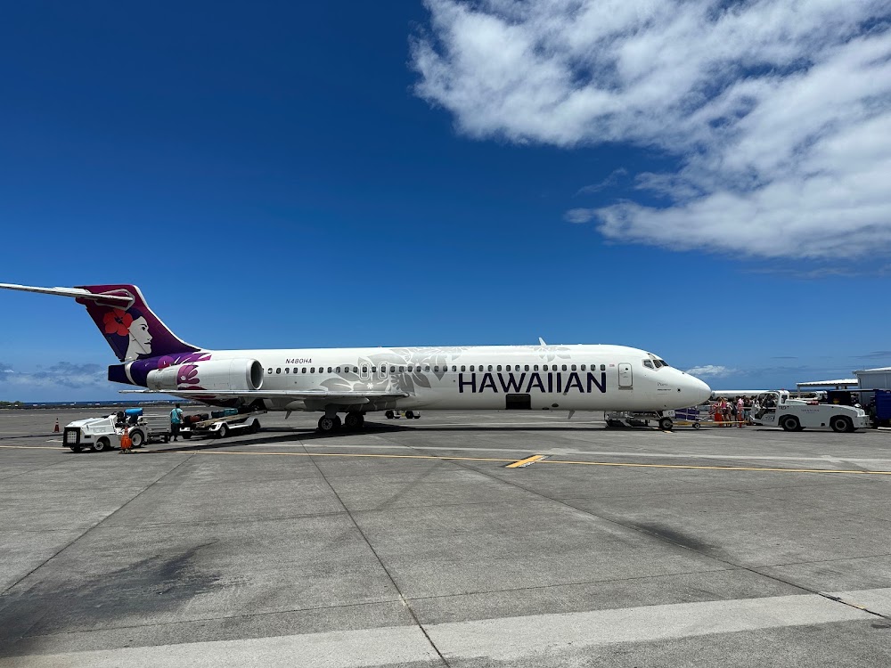
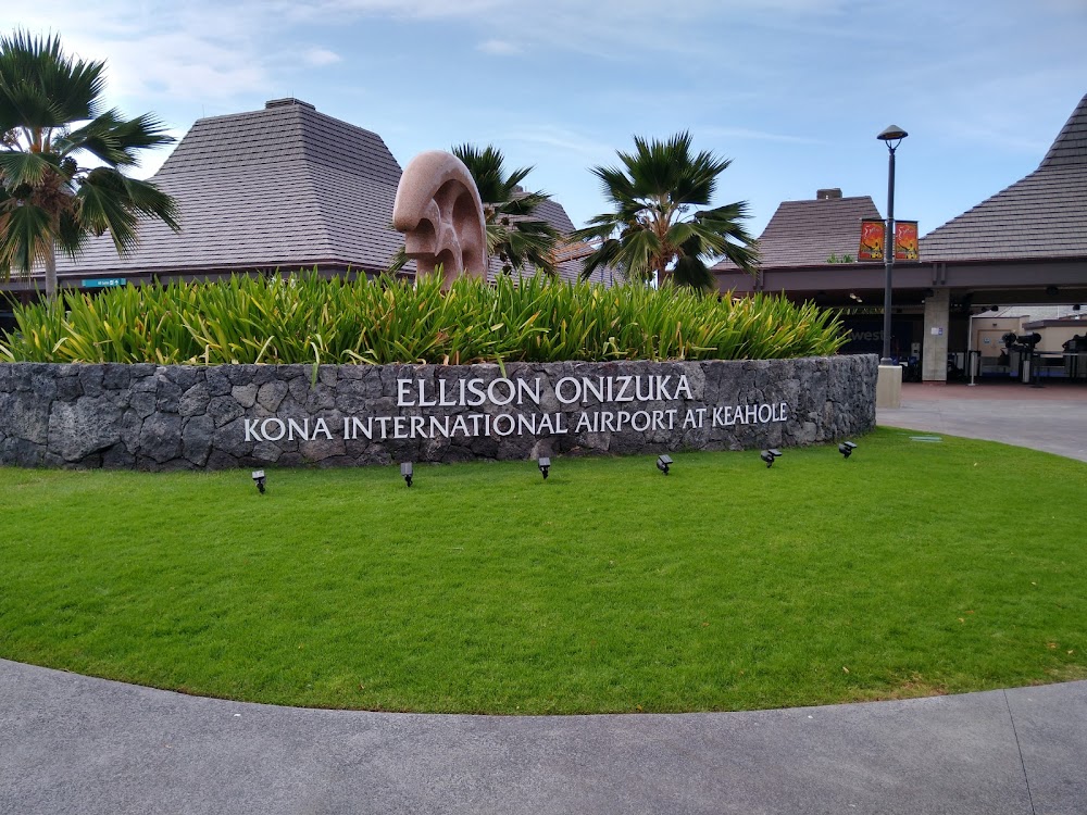
Kailua Kona, HI
Elevation:
50ft
Sectional:
Hawaiian Islands
Activation date:
Jan 1971
Fuel:
100, A (prices)
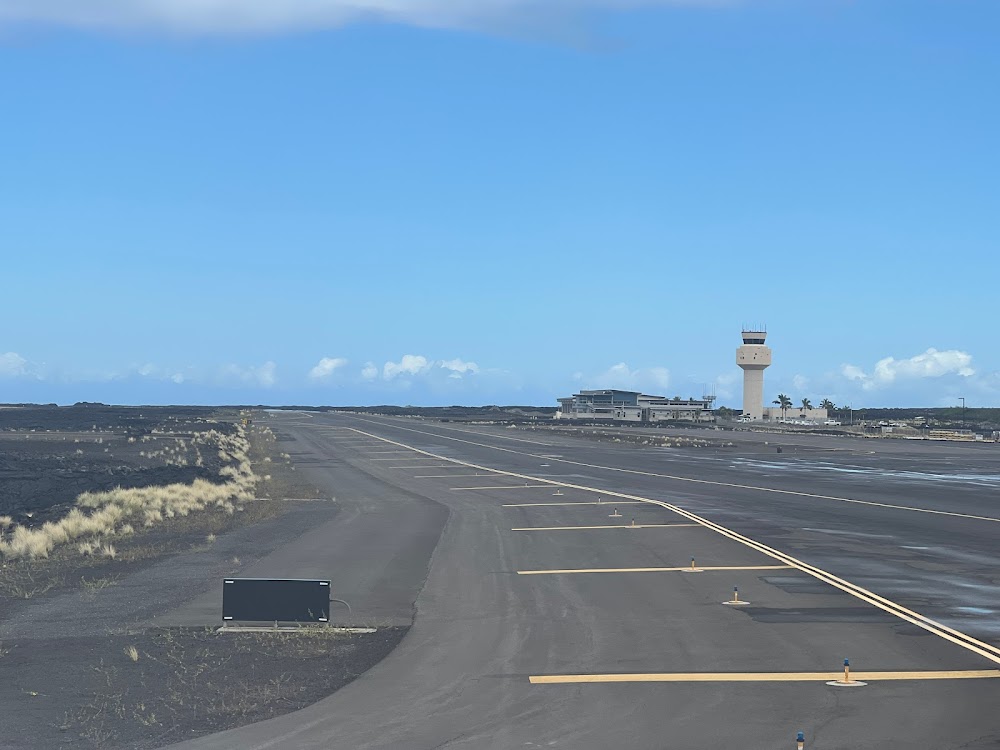
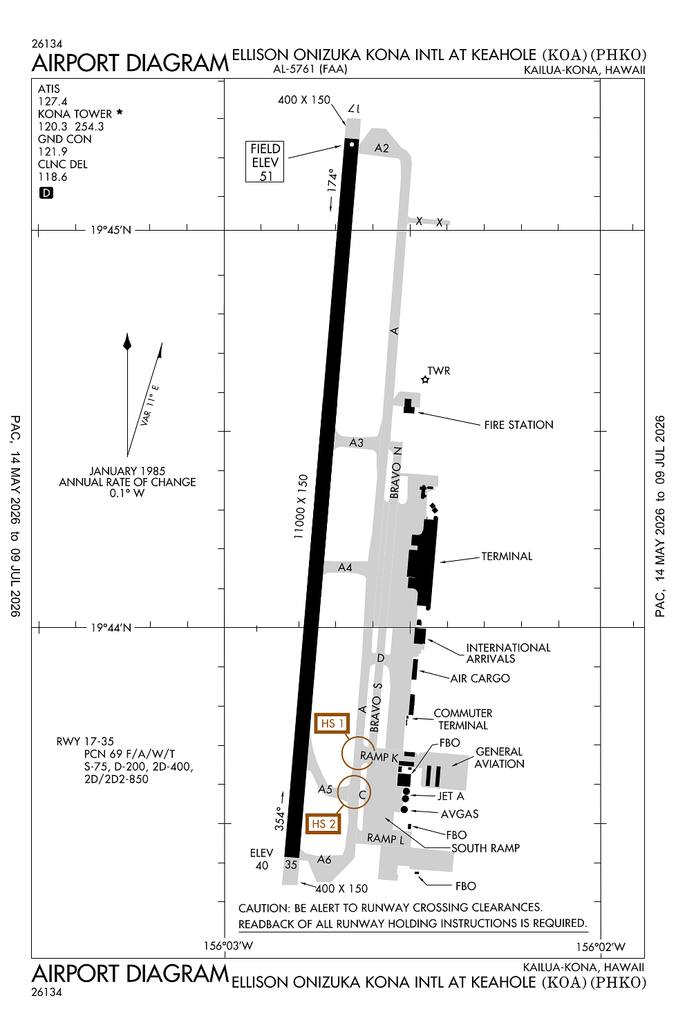
Runway 17/35:
11,000ft
Access: Open to the public
Similar Airports
Current Weather — VFR
-
Weather data is strictly informational and not for flight planning purposes.
-
METAR2026-07-20 12:53:00 HST
Ceiling: Sky clear Wind: 270° @ 10kt Temperature: 84°F Dewpoint: 68°F Weather: N/A Visbility: 10SM Clouds: Scattered @ 4,000ft Raw:METAR PHKO 202253Z 27010KT 10SM SCT040 29/20 A2988 RMK AO2 SLP119 T02940200 $ -
TAF2026-07-20 11:00:00 HST – 2026-07-20 21:00:00 HST
Ceiling: Sky clear Wind: 220° @ 10kt Weather: N/A Visbility: 6SM Clouds: Few @ 6,000ft Raw:TAF PHKO 202053Z 2021/2124 22010KT P6SM FEW060 FM210700 VRB06KT P6SM FEW030 BKN050 FM211900 22010KT P6SM VCSH SCT030 SCT060 -
TAF2026-07-20 21:00:00 HST – 2026-07-21 09:00:00 HST
Ceiling: 5,000ft Wind: Variable Weather: N/A Visbility: 6SM Clouds: Few @ 3,000ft, Broken @ 5,000ft Raw:TAF PHKO 202053Z 2021/2124 22010KT P6SM FEW060 FM210700 VRB06KT P6SM FEW030 BKN050 FM211900 22010KT P6SM VCSH SCT030 SCT060 -
TAF2026-07-21 09:00:00 HST – 2026-07-21 14:00:00 HST
Ceiling: Sky clear Wind: 220° @ 10kt Weather: Showers in vicinity Visbility: 6SM Clouds: Scattered @ 3,000ft, Scattered @ 6,000ft Raw:TAF PHKO 202053Z 2021/2124 22010KT P6SM FEW060 FM210700 VRB06KT P6SM FEW030 BKN050 FM211900 22010KT P6SM VCSH SCT030 SCT060
Click/tap to add an annotation marker to the map
No webcams added yet.
Remarks
- This airport has been surveyed by the national geodetic survey.
- Tpa small acft 800' msl; large acft 1500' msl.
- Req four eng acft taxi with outboard engs at idle due narrow twys.
- All helicopters confine opns to paved areas.
- Ppr fm amgr for transient parking call 808-327-9520.
Comments