Pirep is a free, collaborative database of all public and private airports. All pilots are welcome to contribute their local knowledge to any airport, no registration required.
No upcoming events. Is anything happening here soon?
Last updated: 2024-05-16 23:59:08 PDT
Last updated: 2023-04-15 22:59:35 PDT
Last updated: 2023-04-14 12:38:07 PDT
Last updated: 2024-05-16 23:59:08 PDT
Last updated: 2023-04-14 13:09:28 PDT
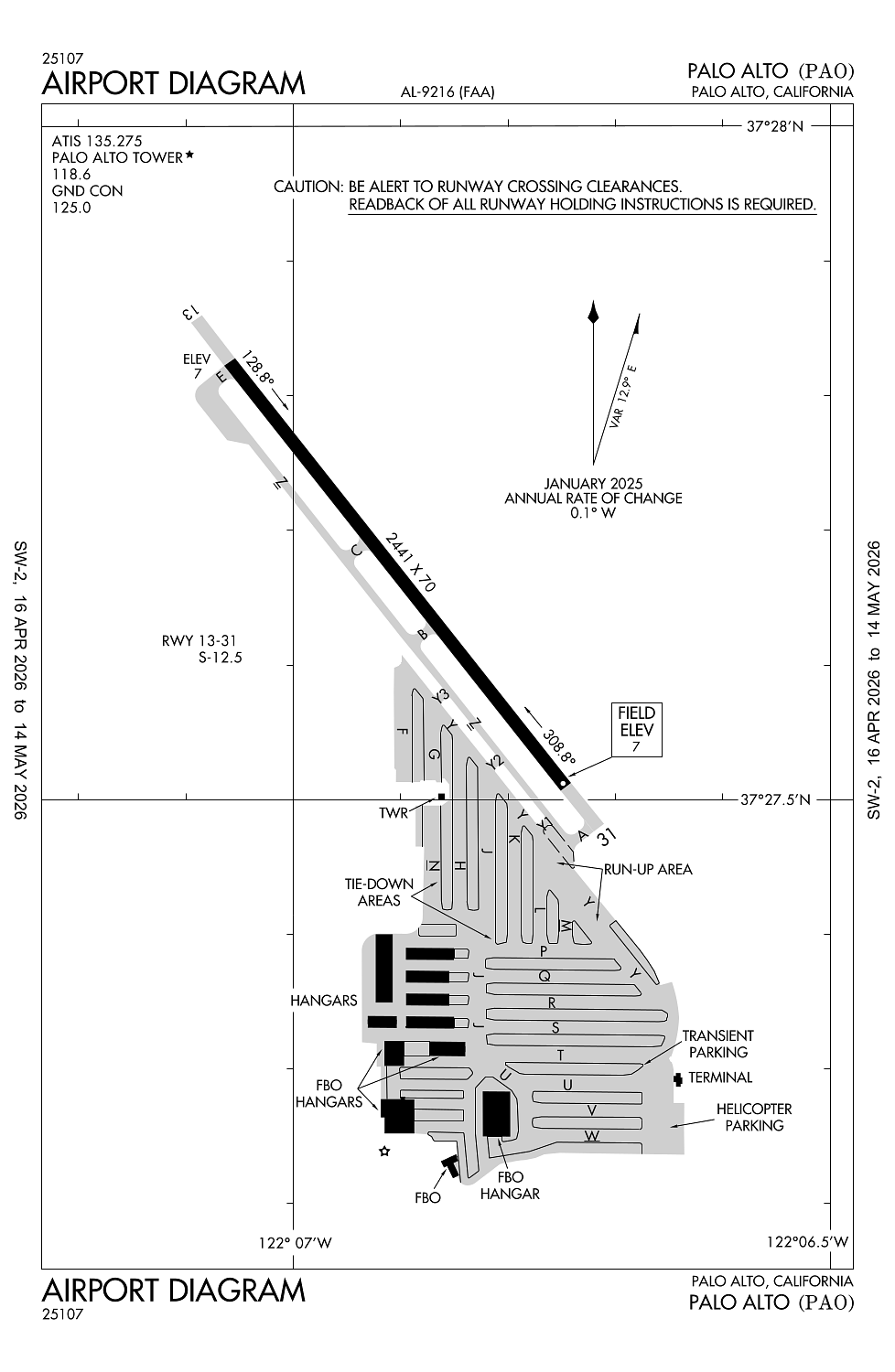
Airport Statistics
Location:
Palo Alto, CA
Elevation:
6ft
Sectional:
San Francisco
Activation date:
Apr 1940
Fuel:
100LL, A (prices)
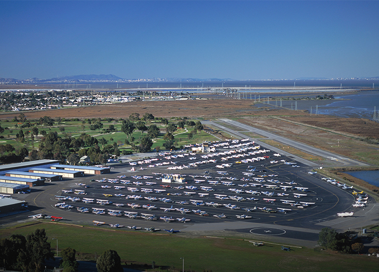
Runway 13/31:
2,441ft
Access: Open to the public
Similar Airports

Current Weather — MVFR
-
Weather data is strictly informational and not for flight planning purposes.
-
METAR2026-05-10 07:47:00 PDT
Ceiling: 1,400ft Wind: 330° @ 8kt Temperature: 55°F Dewpoint: 51°F Weather: N/A Visbility: 10SM Clouds: Broken @ 1,400ft Raw:METAR KPAO 101447Z 33008KT 10SM BKN014 13/11 A3001
Click/tap to add an annotation marker to the map
No webcams added yet.
Remarks
- This airport has been surveyed by the national geodetic survey.
- +100 ft transmission twrs e of arpt.
- Birds on and invof ap.
- Tpa 1000 ft w & 800 ft e.
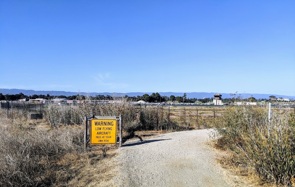
- Noise sensitive area se thru nw of arpt. rcmd acft ldg at palo alto arpt fly at or above 1500 ft until xng the bayshore freeway, and rcmd acft dep rwy 31 turn 10 deg right after tkof til rchg dumbarton auto bridge.
Comments