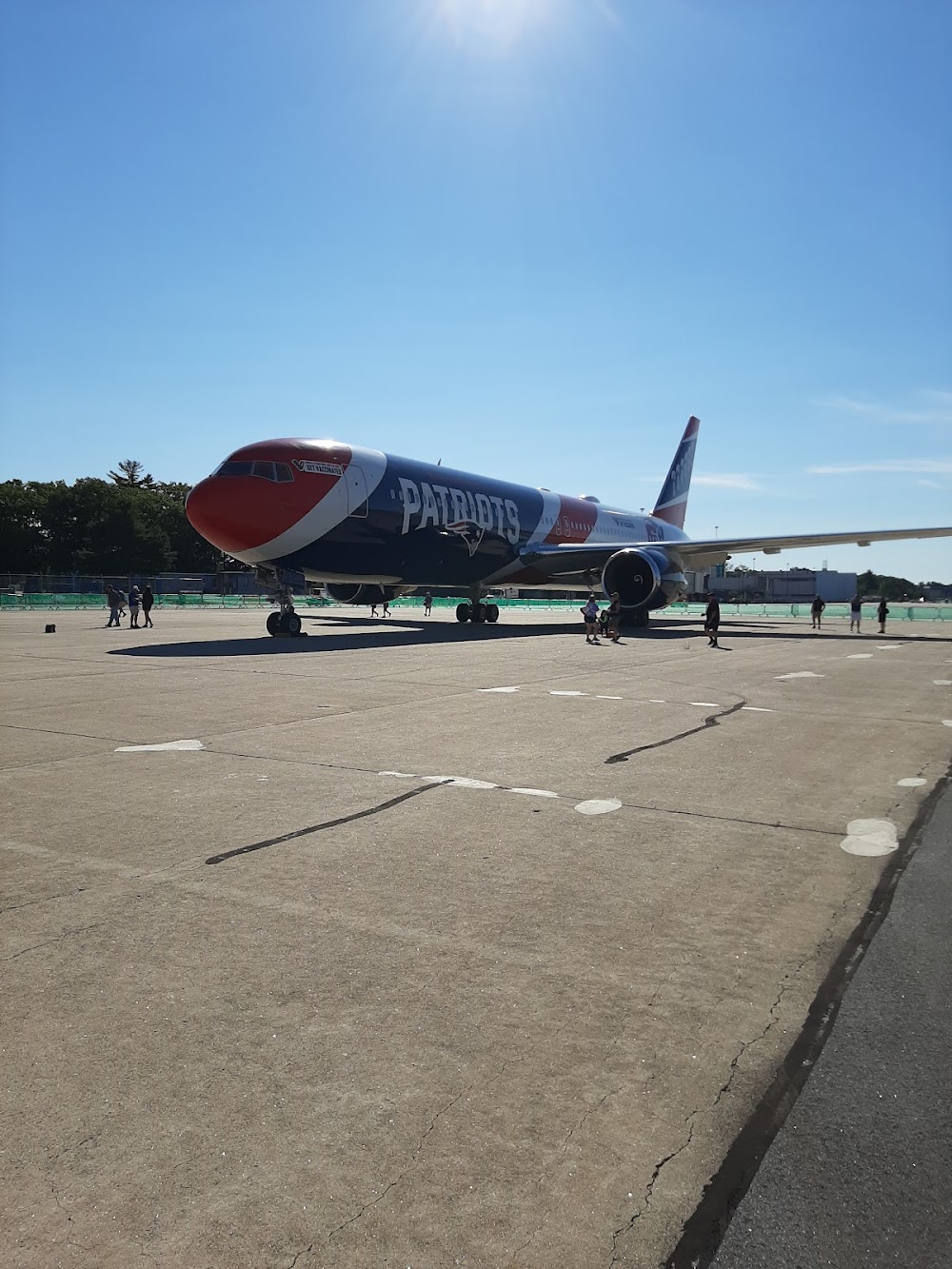
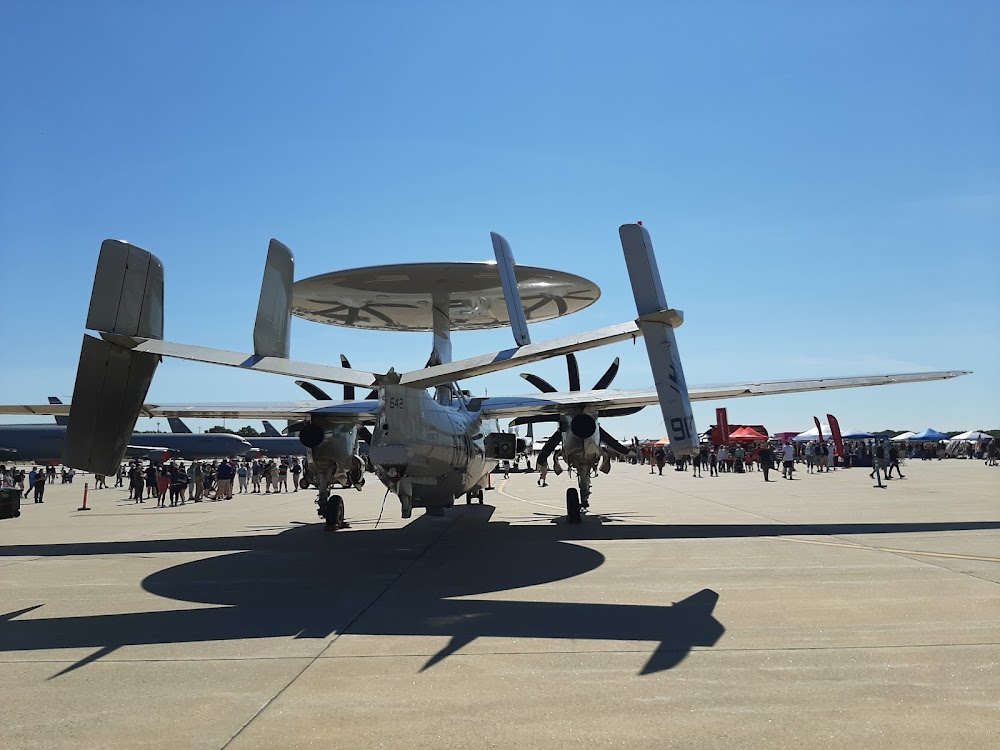
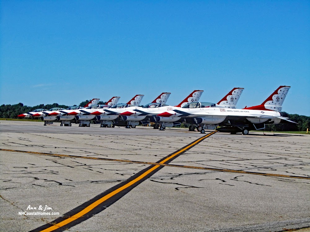
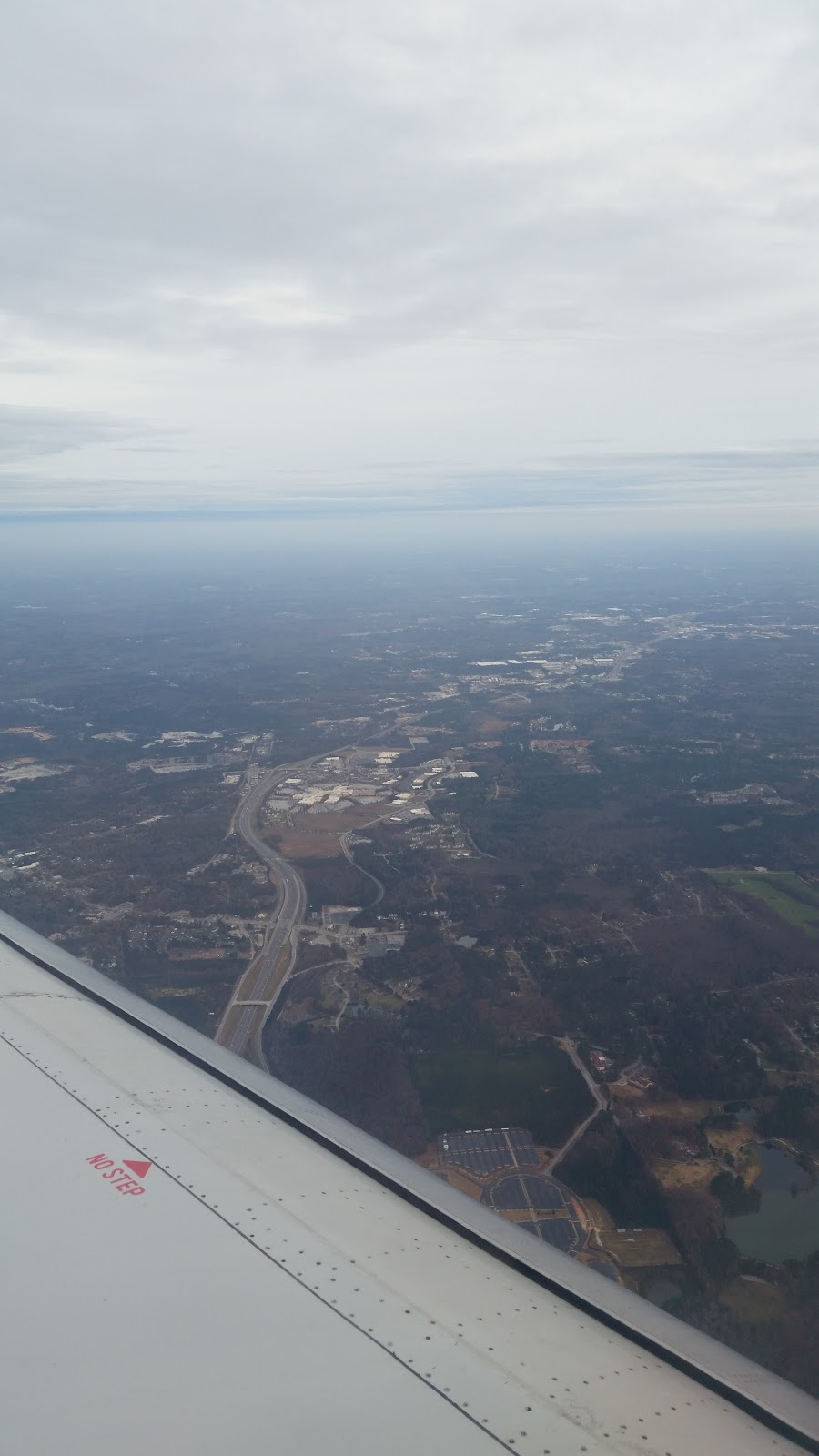
Pirep is a free, collaborative database of all public and private airports. All pilots are welcome to contribute their local knowledge to any airport, no registration required.


No upcoming events. Is anything happening here soon?
Last updated: 2024-03-07 22:21:59 EST
Airport Statistics
- Landing & tie-down fees
- Webcam links
- Airport map annotations
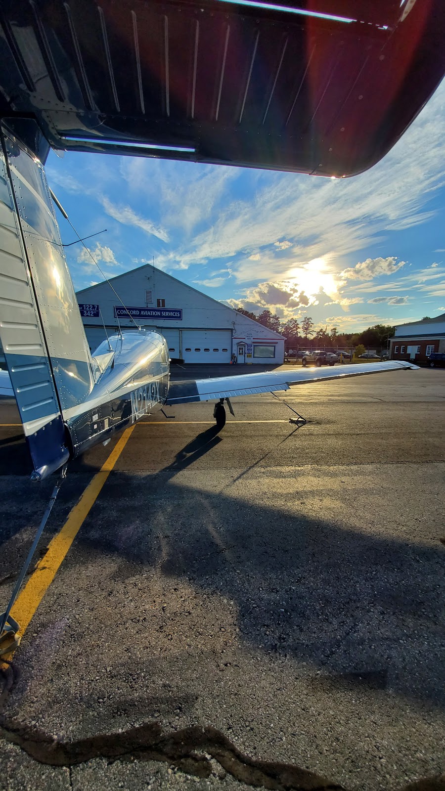
Location:
Portsmouth, NH
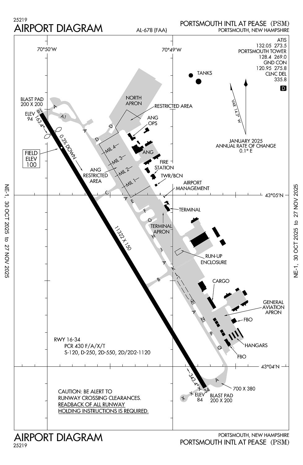
Elevation:
100ft
Sectional:
New York
Activation date:
Jan 1946
Fuel:
100LL, A, J8 (prices)
Runway 16/34:
11,322ft
Access: Open to the public
Similar Airports

Click/tap to add an annotation marker to the map
No webcams added yet.
Remarks
- Index e arff capability avbl 24/7.
- All inbd acft with hazus cargo info call atct 60 nm out.
- Turb apch end rwy 34 in strong x winds.
- No pla or tgl 2300-0700 for lcl-based acft, 2100-0700 for tsnt acft or bfr 1200 sun for all acft.
- Birds on and invof arpt.
Comments