Pirep is a free, collaborative database of all public and private airports. All pilots are welcome to contribute their local knowledge to any airport, no registration required.


Last updated: 2023-04-14 11:56:42 EDT
Last updated: 2023-04-14 10:01:38 EDT
Airport Statistics
- Fuel pump location
- Webcam links
- WiFi availability
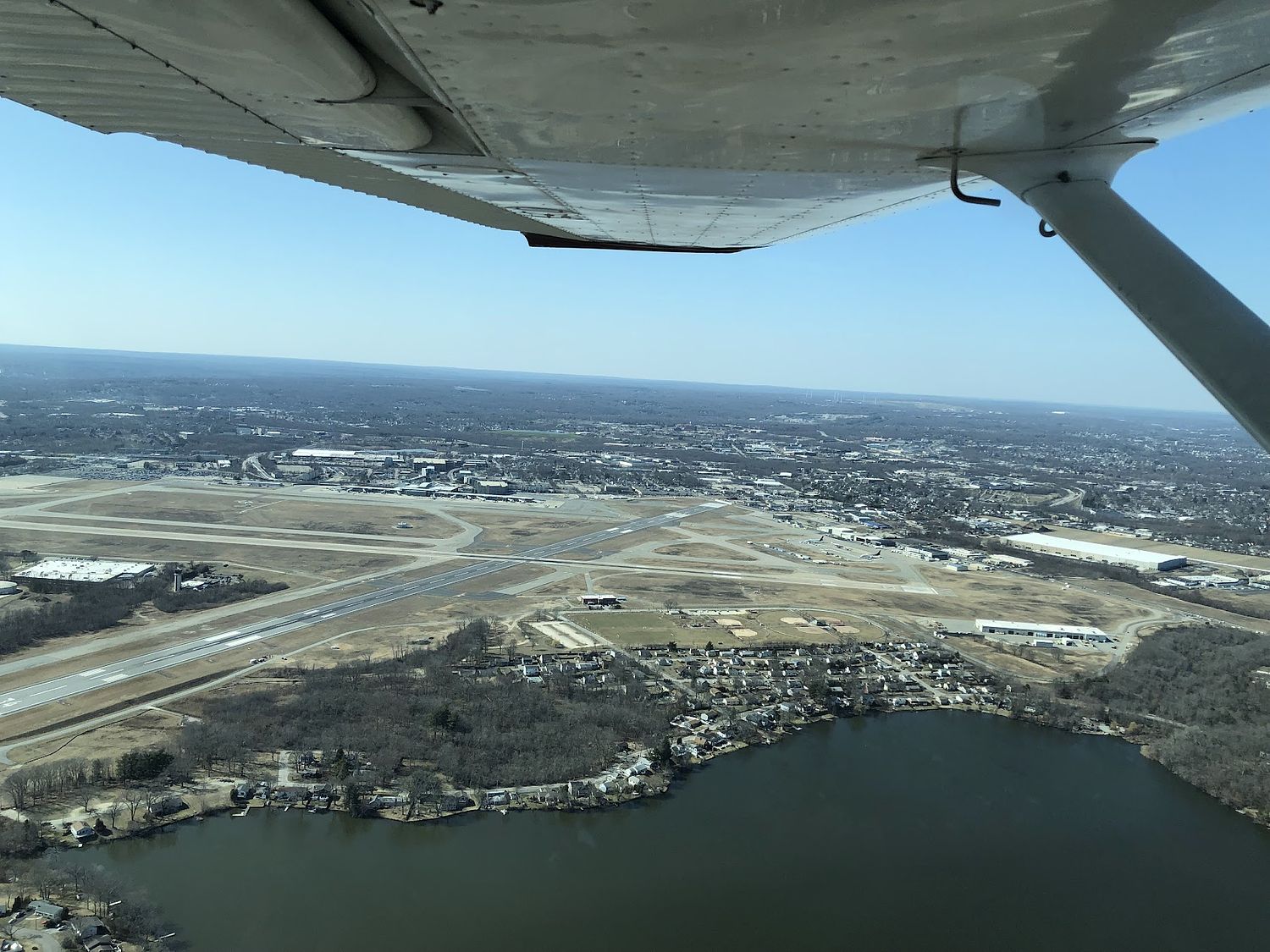
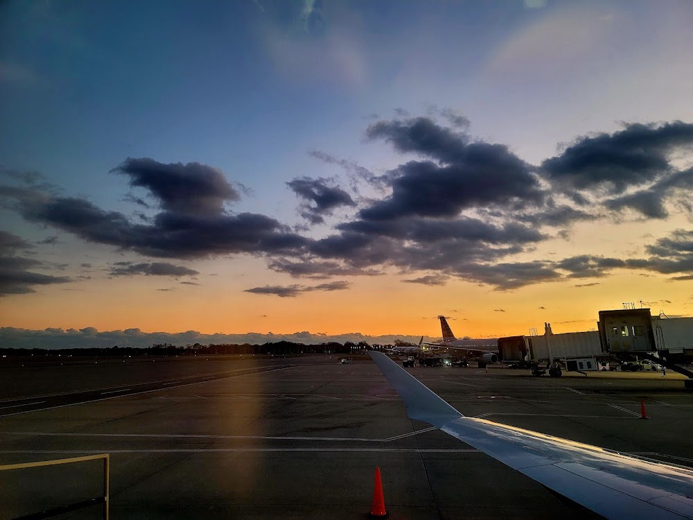
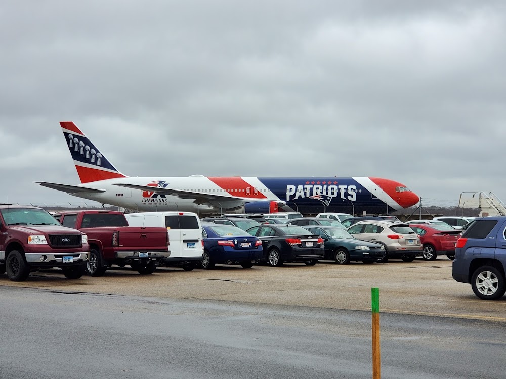
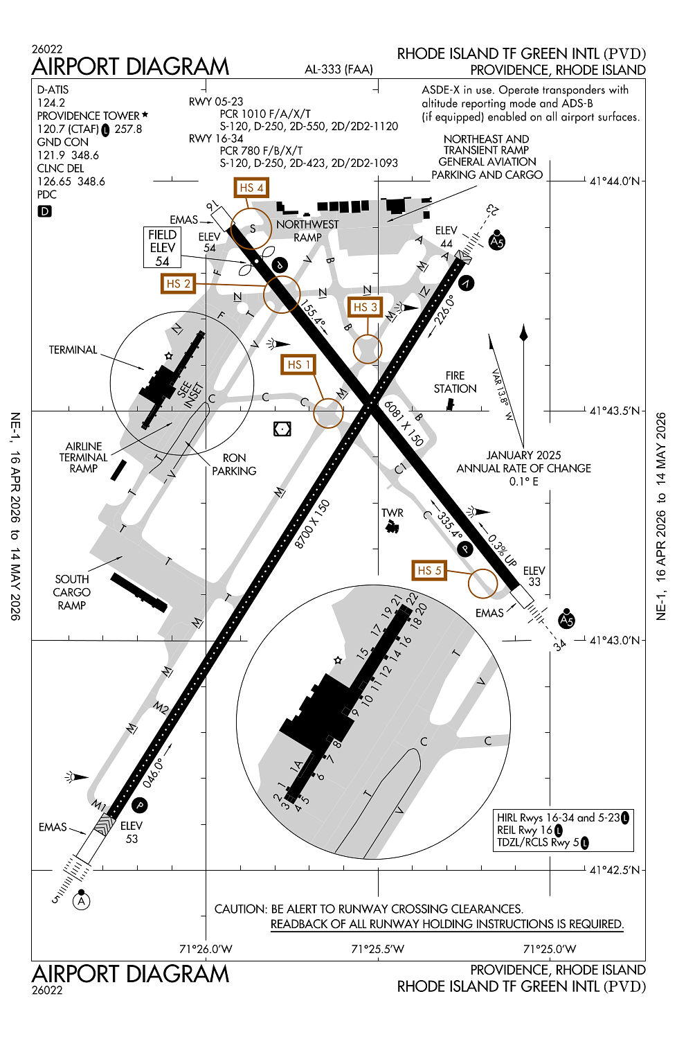
Location:
Providence, RI
Elevation:
54ft
Sectional:
New York
Activation date:
Sep 1937
Fuel:
100LL, A (prices)
Runway 05/23:
8,700ft
Runway 16/34:
6,081ft
Access: Open to the public
Similar Airports
Current Weather — VFR
-
Weather data is strictly informational and not for flight planning purposes.
-
METAR2026-05-29 18:51:00 EDT
Ceiling: 6,000ft Wind: 170° @ 7kt Temperature: 64°F Dewpoint: 51°F Weather: Light rain Visbility: 10SM Clouds: Broken @ 6,000ft, Overcast @ 12,000ft Raw:METAR KPVD 292251Z 17007KT 10SM -RA BKN060 OVC120 18/11 A2977 RMK AO2 RAB24 SLP080 P0000 T01780106 -
TAF2026-05-29 20:00:00 EDT – 2026-05-30 02:00:00 EDT
Ceiling: 8,000ft Wind: 170° @ 7kt Weather: N/A Visbility: 6SM Clouds: Broken @ 8,000ft Raw:TAF KPVD 292323Z 3000/3024 17007KT P6SM BKN080 FM300600 31013G22KT P6SM SCT030 FM301000 35016G33KT P6SM VCSH BKN015 FM301300 03023G42KT 5SM RA BR OVC010 FM302200 36016G32KT P6SM VCSH BKN030 -
TAF2026-05-30 02:00:00 EDT – 2026-05-30 06:00:00 EDT
Ceiling: Sky clear Wind: 310° @ 13kt, gusts 22kt Weather: N/A Visbility: 6SM Clouds: Scattered @ 3,000ft Raw:TAF KPVD 292323Z 3000/3024 17007KT P6SM BKN080 FM300600 31013G22KT P6SM SCT030 FM301000 35016G33KT P6SM VCSH BKN015 FM301300 03023G42KT 5SM RA BR OVC010 FM302200 36016G32KT P6SM VCSH BKN030 -
TAF2026-05-30 06:00:00 EDT – 2026-05-30 09:00:00 EDT
Ceiling: 1,500ft Wind: 350° @ 16kt, gusts 33kt Weather: Showers in vicinity Visbility: 6SM Clouds: Broken @ 1,500ft Raw:TAF KPVD 292323Z 3000/3024 17007KT P6SM BKN080 FM300600 31013G22KT P6SM SCT030 FM301000 35016G33KT P6SM VCSH BKN015 FM301300 03023G42KT 5SM RA BR OVC010 FM302200 36016G32KT P6SM VCSH BKN030 -
TAF2026-05-30 09:00:00 EDT – 2026-05-30 18:00:00 EDT
Ceiling: 1,000ft Wind: 030° @ 23kt, gusts 42kt Weather: Rain, mist Visbility: 5SM Clouds: Overcast @ 1,000ft Raw:TAF KPVD 292323Z 3000/3024 17007KT P6SM BKN080 FM300600 31013G22KT P6SM SCT030 FM301000 35016G33KT P6SM VCSH BKN015 FM301300 03023G42KT 5SM RA BR OVC010 FM302200 36016G32KT P6SM VCSH BKN030 -
TAF2026-05-30 18:00:00 EDT – 2026-05-30 20:00:00 EDT
Ceiling: 3,000ft Wind: 360° @ 16kt, gusts 32kt Weather: Showers in vicinity Visbility: 6SM Clouds: Broken @ 3,000ft Raw:TAF KPVD 292323Z 3000/3024 17007KT P6SM BKN080 FM300600 31013G22KT P6SM SCT030 FM301000 35016G33KT P6SM VCSH BKN015 FM301300 03023G42KT 5SM RA BR OVC010 FM302200 36016G32KT P6SM VCSH BKN030
Click/tap to add an annotation marker to the map
No webcams added yet.
Remarks
- Existed prior to 1959.
- Gnd vehicles mnt ctaf when atct clsd.
- Deer & birds on & invof arpt.
- 110 ft unmkd lgt poles, 2700 ft fm thr rwy 34, 900 ft left of cntrln.
- Run up pad for twy f clsd to acft with wingspan over 118 ft.
Comments