Pirep is a free, collaborative database of all public and private airports. All pilots are welcome to contribute their local knowledge to any airport, no registration required.

No upcoming events. Is anything happening here soon?
Last updated: 2024-03-13 23:33:23 PDT
Last updated: 2024-03-13 23:33:23 PDT
Airport Statistics
- Fuel pump location
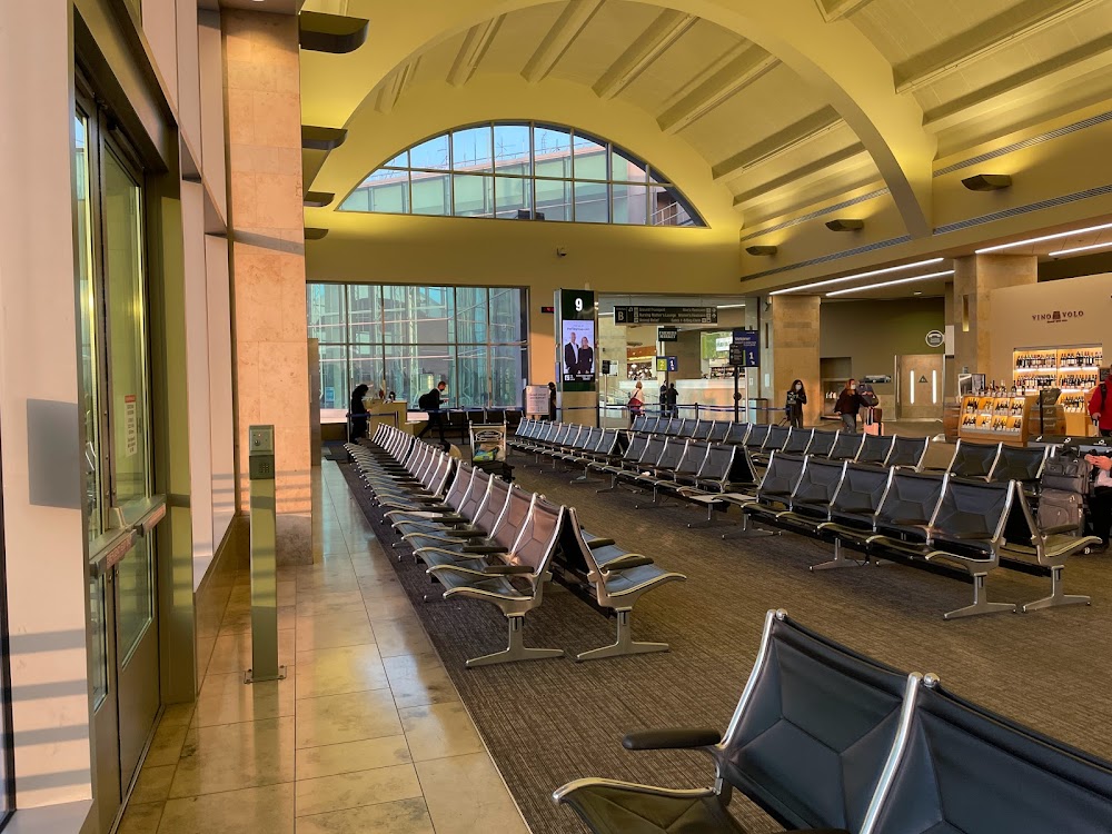
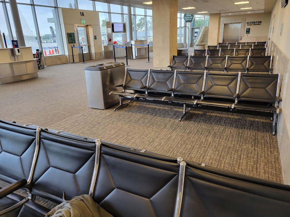
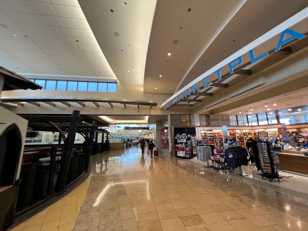
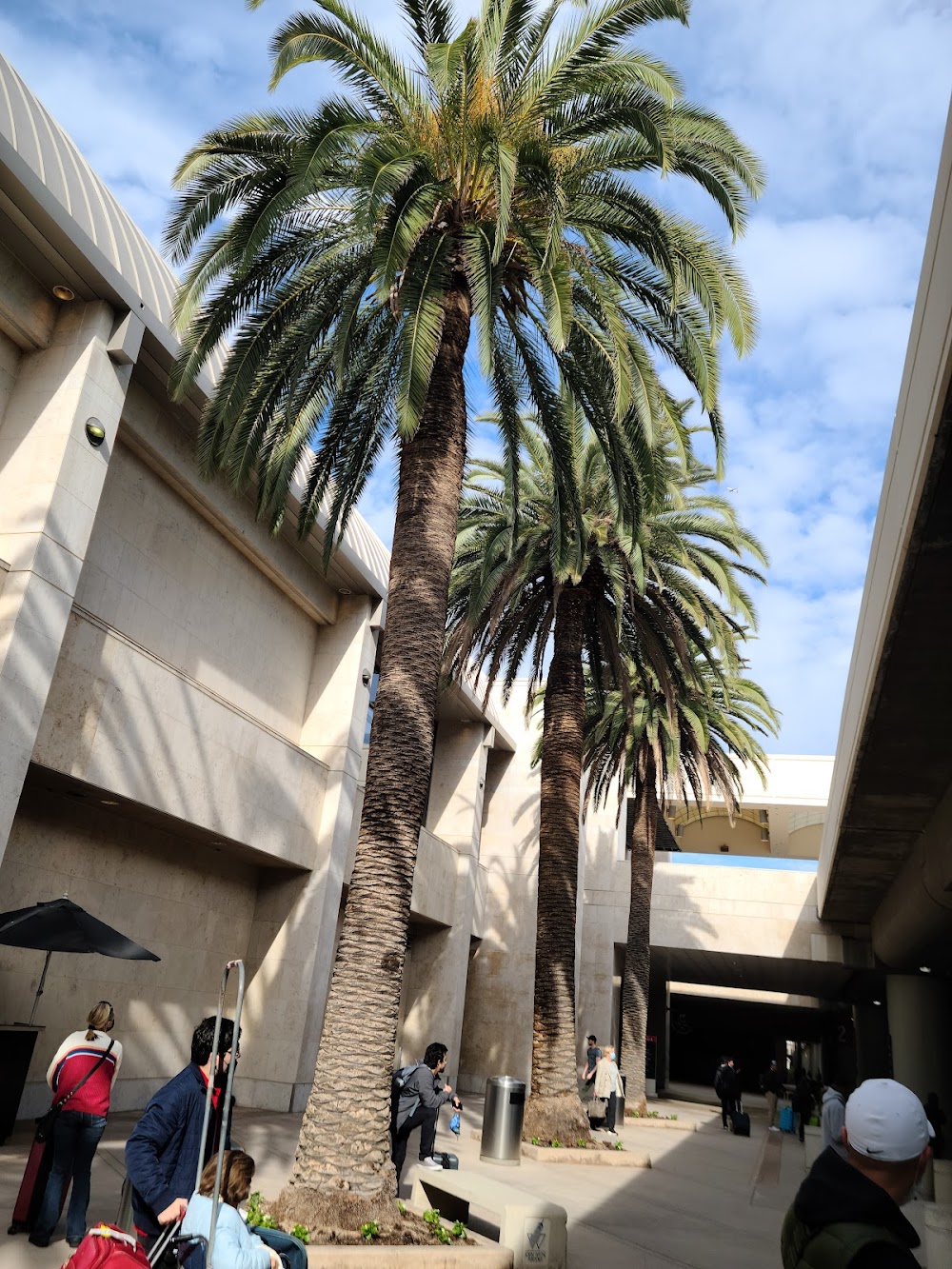
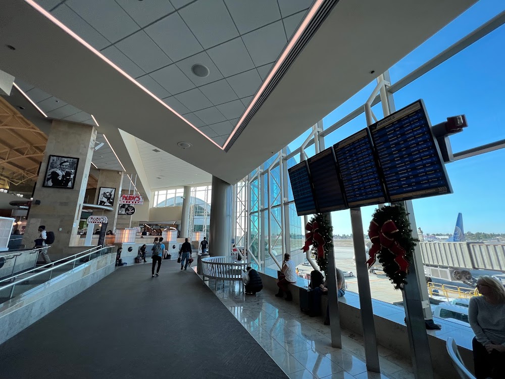
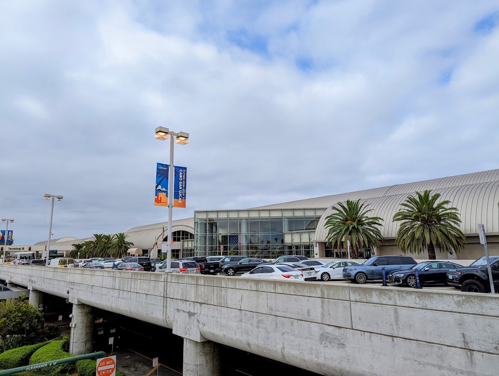
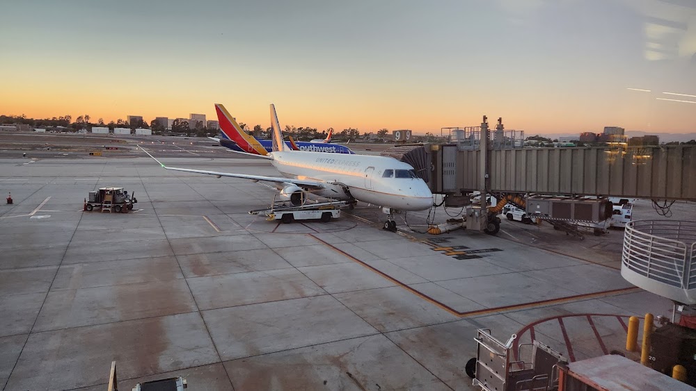
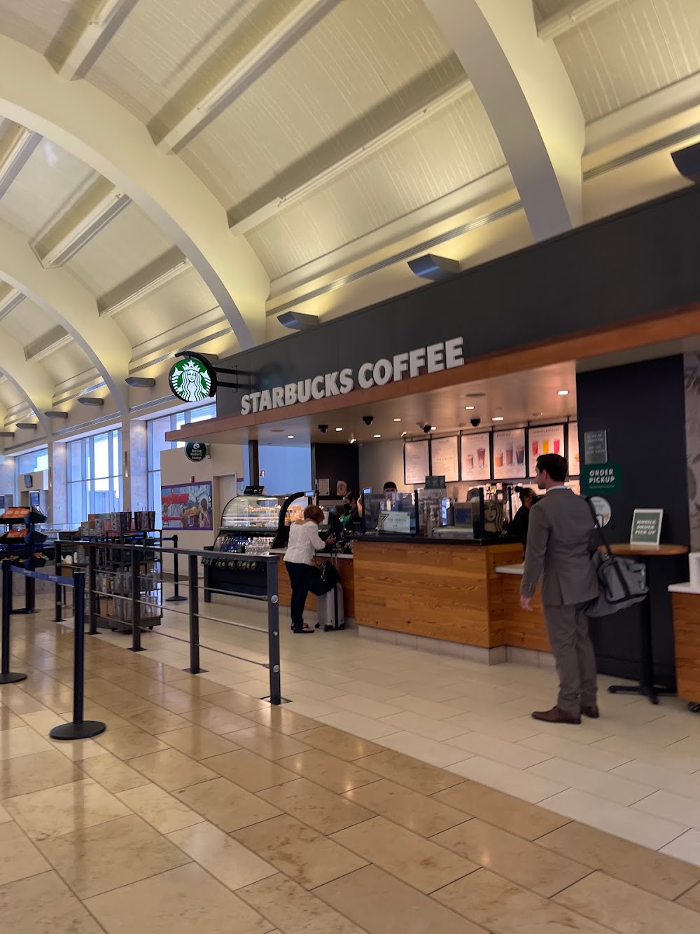
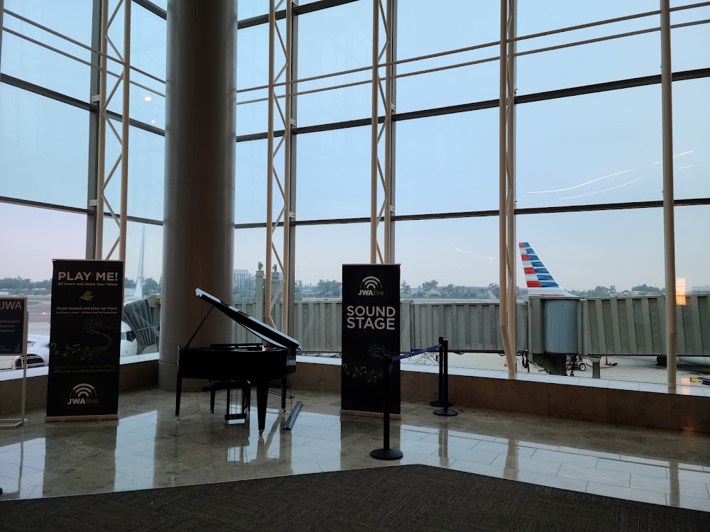
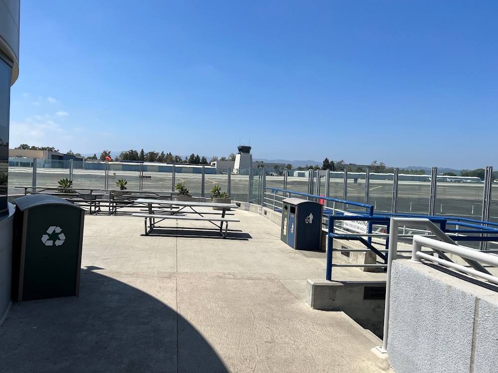
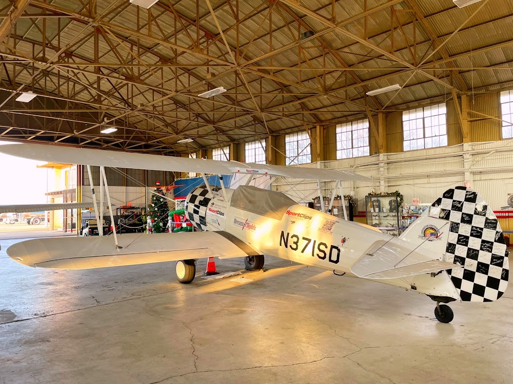
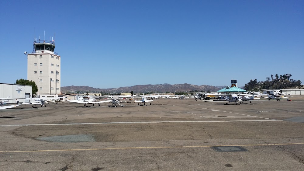
- Airport photos
- Webcam links
Location:
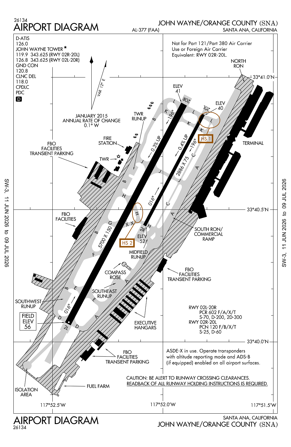
Santa Ana, CA
Elevation:
55ft
Sectional:
Los Angeles
Activation date:
Nov 1941
Fuel:
100LL, A (prices)
Runway 02L/20R:
5,700ft
Runway 02R/20L:
2,886ft
Runway 20X:
0ft
Access: Open to the public
Similar Airports
Current Weather — VFR
-
Weather data is strictly informational and not for flight planning purposes.
-
METAR2026-06-18 18:53:00 PDT
Ceiling: Sky clear Wind: 230° @ 8kt Temperature: 68°F Dewpoint: 57°F Weather: N/A Visbility: 10SM Clouds: Few @ 3,000ft Raw:METAR KSNA 190153Z COR 23008KT 10SM FEW030 20/14 A2994 RMK AO2 SLP138 T02000139 -
TAF2026-06-18 17:00:00 PDT – 2026-06-18 22:00:00 PDT
Ceiling: Sky clear Wind: 210° @ 10kt Weather: N/A Visbility: 6SM Clouds: Few @ 2,200ft Raw:TAF KSNA 182328Z 1900/1924 21010KT P6SM FEW022 FM190500 VRB05KT P6SM OVC018 FM190900 VRB03KT P6SM OVC022 FM191900 22010KT P6SM SKC -
TAF2026-06-18 22:00:00 PDT – 2026-06-19 02:00:00 PDT
Ceiling: 1,800ft Wind: Variable Weather: N/A Visbility: 6SM Clouds: Overcast @ 1,800ft Raw:TAF KSNA 182328Z 1900/1924 21010KT P6SM FEW022 FM190500 VRB05KT P6SM OVC018 FM190900 VRB03KT P6SM OVC022 FM191900 22010KT P6SM SKC -
TAF2026-06-19 02:00:00 PDT – 2026-06-19 12:00:00 PDT
Ceiling: 2,200ft Wind: Variable Weather: N/A Visbility: 6SM Clouds: Overcast @ 2,200ft Raw:TAF KSNA 182328Z 1900/1924 21010KT P6SM FEW022 FM190500 VRB05KT P6SM OVC018 FM190900 VRB03KT P6SM OVC022 FM191900 22010KT P6SM SKC -
TAF2026-06-19 12:00:00 PDT – 2026-06-19 17:00:00 PDT
Ceiling: Sky clear Wind: 220° @ 10kt Weather: N/A Visbility: 6SM Clouds: @ ft Raw:TAF KSNA 182328Z 1900/1924 21010KT P6SM FEW022 FM190500 VRB05KT P6SM OVC018 FM190900 VRB03KT P6SM OVC022 FM191900 22010KT P6SM SKC
Click/tap to add an annotation marker to the map
No webcams added yet.
Remarks
- When atct clsd no lcl trng or touch & go opns.
- Be alert to birds on and in vicinity of arpt.
- Twy c gwt lmtd 60000 lbs.
- Maintain at or above 300 ft agl until established on final .
- Fbo general aviation aprons limited to max gwt of 100,000 lbs (dual gear) and with wingspans less than 100 ft. general aviation aircraft prohibited from using any portion of the air carrier commercial ramp.
Comments