Pirep is a free, collaborative database of all public and private airports. All pilots are welcome to contribute their local knowledge to any airport, no registration required.
No upcoming events. Is anything happening here soon?
Last updated: 2023-05-29 16:32:35 CDT
Airport Statistics
- Local flying clubs
- Webcam links
- WiFi availability
Location:
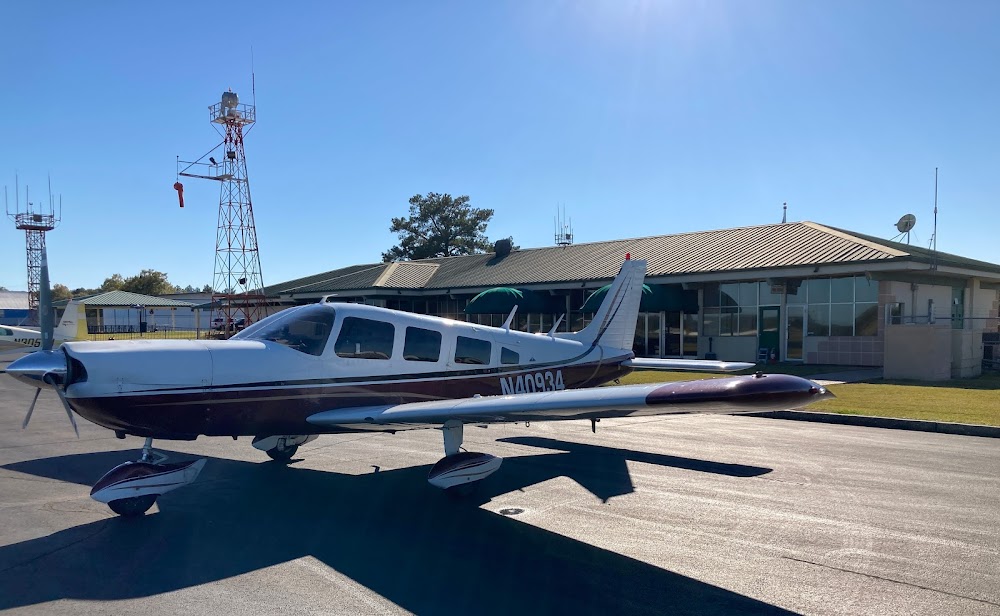
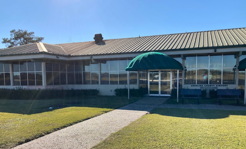
Lufkin, TX
Elevation:
295ft
Sectional:
Houston
Activation date:
Aug 1944
Fuel:
100LL, A+ (prices)
Runway 07/25:
5,400ft
Runway 16/34:
4,311ft
Access: Open to the public
Similar Airports


Current Weather — VFR
-
Weather data is strictly informational and not for flight planning purposes.
-
METAR2026-07-16 10:53:00 CDT
Ceiling: Sky clear Wind: 160° @ 4kt Temperature: 82°F Dewpoint: 77°F Weather: N/A Visbility: 10SM Clouds: Scattered @ 1,600ft Raw:METAR KLFK 161553Z AUTO 16004KT 10SM SCT016 28/25 A3014 RMK AO2 SLP203 T02830250 -
TAF2026-07-16 07:00:00 CDT – 2026-07-16 11:00:00 CDT
Ceiling: 15,000ft Wind: 100° @ 3kt Weather: N/A Visbility: 6SM Clouds: Few @ 2,500ft, Broken @ 15,000ft, Overcast @ 25,000ft Raw:TAF KLFK 161120Z 1612/1712 10003KT P6SM FEW025 BKN150 OVC250 FM161600 18007KT P6SM BKN040 BKN150 OVC250 FM170100 VRB03KT P6SM SCT200 -
TAF2026-07-16 11:00:00 CDT – 2026-07-16 20:00:00 CDT
Ceiling: 4,000ft Wind: 180° @ 7kt Weather: N/A Visbility: 6SM Clouds: Broken @ 4,000ft, Broken @ 15,000ft, Overcast @ 25,000ft Raw:TAF KLFK 161120Z 1612/1712 10003KT P6SM FEW025 BKN150 OVC250 FM161600 18007KT P6SM BKN040 BKN150 OVC250 FM170100 VRB03KT P6SM SCT200 -
TAF2026-07-16 20:00:00 CDT – 2026-07-17 07:00:00 CDT
Ceiling: Sky clear Wind: Variable Weather: N/A Visbility: 6SM Clouds: Scattered @ 20,000ft Raw:TAF KLFK 161120Z 1612/1712 10003KT P6SM FEW025 BKN150 OVC250 FM161600 18007KT P6SM BKN040 BKN150 OVC250 FM170100 VRB03KT P6SM SCT200
Click/tap to add an annotation marker to the map
No webcams added yet.
Remarks
- Rwy 34 100 ft x 199 ft paved safety area.
- For cd if una to ctc on fss freq, ctc houston artcc at 281-230-5622.
- Dusk-dawn. mirl rwys 07/25 & 16/34 preset med intst; to incr intst and actvt malsr rwy 07 - ctaf.
- Unicom mnt fm 0700-1900.
- Http://www.angelinacounty.net/departments/airport.
- Svc fee chrgd for fuel aft 1900; call 936-635-1542.
- 296 ft paved swy nw end.
- Obstn clnc 20:1 to dsplcd thr.
Comments