Pirep is a free, collaborative database of all public and private airports. All pilots are welcome to contribute their local knowledge to any airport, no registration required.


No upcoming events. Is anything happening here soon?
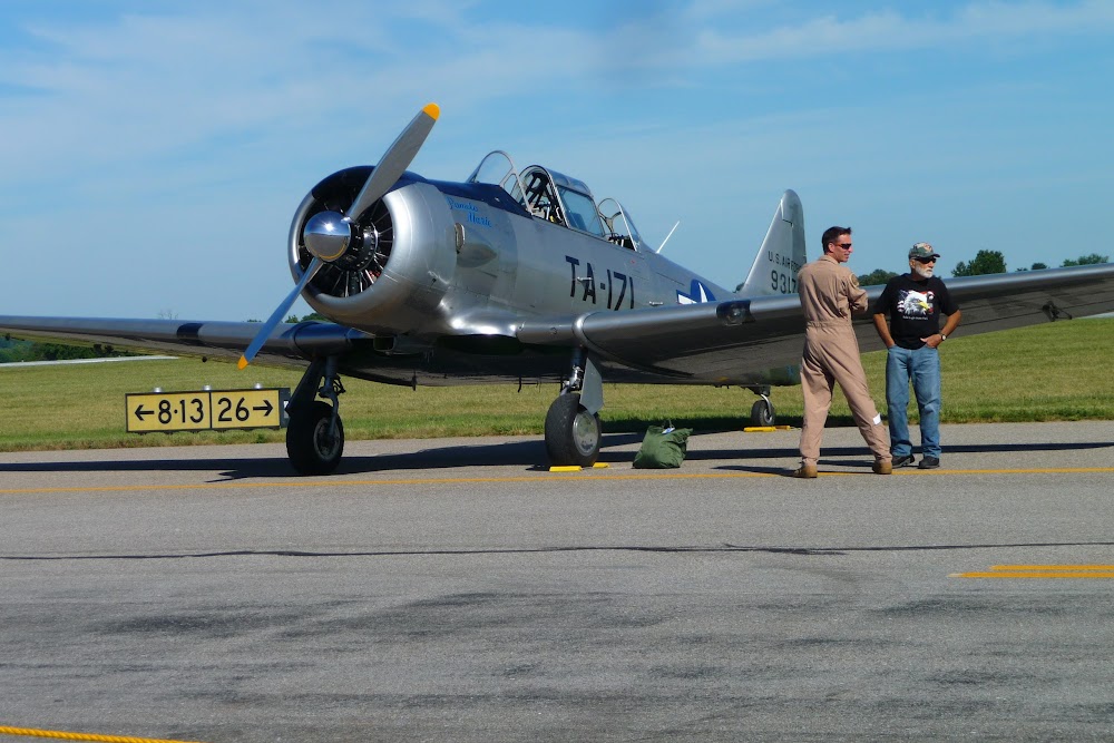
Last updated: 2023-04-14 18:47:28 EDT
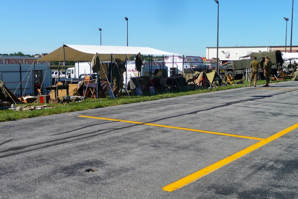
Last updated: 2023-04-14 09:49:36 EDT
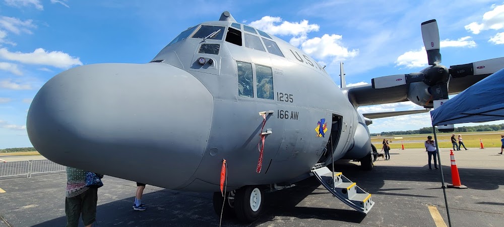
Last updated: 2023-11-13 23:58:42 EST
Airport Statistics
- Crew car availability
- WiFi availability
- Airport map annotations
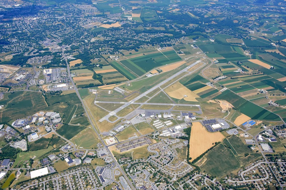
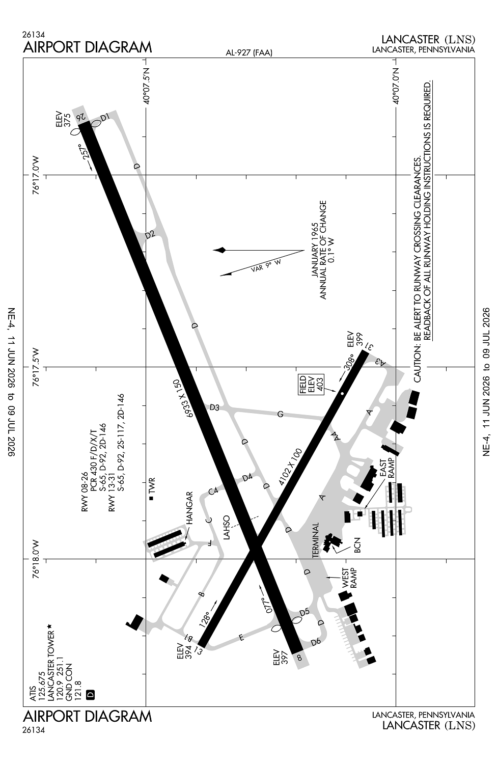
Location:
Lancaster, PA
Elevation:
402ft
Sectional:
New York
Fuel:
100LL, A (prices)
Runway 08/26:
6,933ft
Runway 13/31:
4,102ft
Access: Open to the public
Similar Airports

Current Weather — VFR
-
Weather data is strictly informational and not for flight planning purposes.
-
METAR2026-07-29 07:02:00 EDT
Ceiling: Sky clear Wind: 300° @ 8kt Temperature: 68°F Dewpoint: 64°F Weather: N/A Visbility: 10SM Clouds: Scattered @ 3,000ft Raw:SPECI KLNS 291102Z 30008KT 10SM SCT030 20/18 A2963 RMK AO2 T02000183 -
TAF2026-07-29 08:00:00 EDT – 2026-07-29 11:00:00 EDT
Ceiling: Sky clear Wind: 300° @ 6kt Weather: N/A Visbility: 6SM Clouds: Scattered @ 2,500ft Raw:TAF KLNS 291120Z 2912/3012 30006KT P6SM SCT025 FM291500 32013G22KT P6SM BKN050 FM300000 30007KT P6SM BKN050 -
TAF2026-07-29 11:00:00 EDT – 2026-07-29 20:00:00 EDT
Ceiling: 5,000ft Wind: 320° @ 13kt, gusts 22kt Weather: N/A Visbility: 6SM Clouds: Broken @ 5,000ft Raw:TAF KLNS 291120Z 2912/3012 30006KT P6SM SCT025 FM291500 32013G22KT P6SM BKN050 FM300000 30007KT P6SM BKN050 -
TAF2026-07-29 20:00:00 EDT – 2026-07-30 08:00:00 EDT
Ceiling: 5,000ft Wind: 300° @ 7kt Weather: N/A Visbility: 6SM Clouds: Broken @ 5,000ft Raw:TAF KLNS 291120Z 2912/3012 30006KT P6SM SCT025 FM291500 32013G22KT P6SM BKN050 FM300000 30007KT P6SM BKN050
Click/tap to add an annotation marker to the map
No webcams added yet.
Remarks
- Predates act.
- Arff avbl fm 0600-2100 mon-fri, 0600-1800 sat, 0800-2100 sun. emergs outside atct opn hrs & arff hrs call manheim township emerg svcs at 911.
- Rwy lgts and malsr unmonitored when twr clsd.
- Rwy and twy conds not mnt outside of arff coverage hrs.
- For cd when atct clsd, ctc harrisburg apch at 800-932-0712.
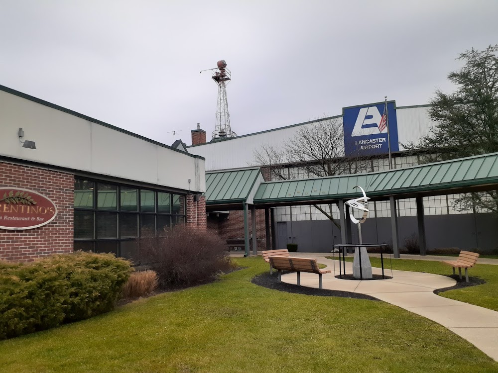
The restaurant at the FBO (Fiorentino’s) is really good.