Pirep is a free, collaborative database of all public and private airports. All pilots are welcome to contribute their local knowledge to any airport, no registration required.


No upcoming events. Is anything happening here soon?
Last updated: 2023-11-15 00:29:48 EST
Airport Statistics
- General description
- Webcam links
- Transient parking location
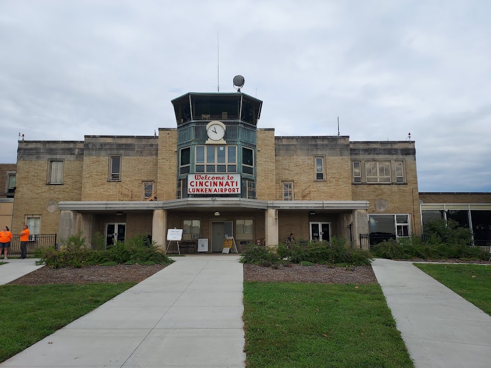
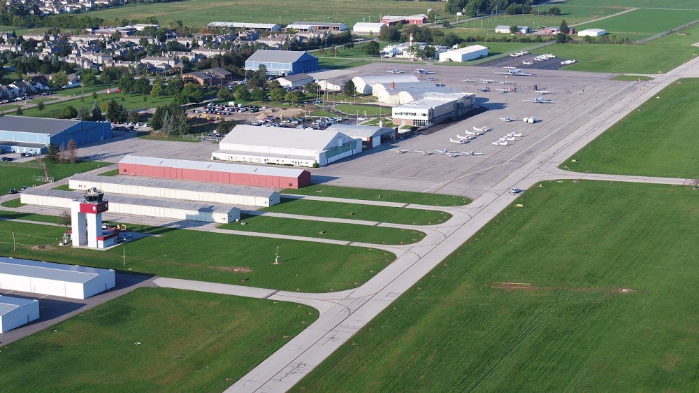
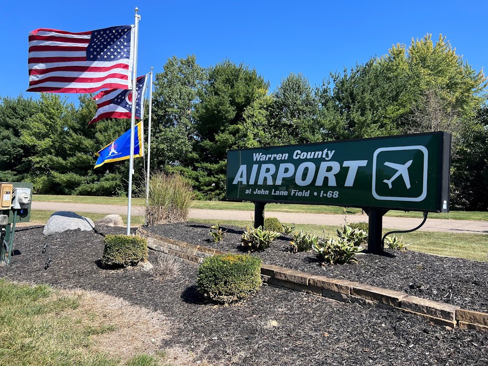
Location:
Cincinnati, OH
Elevation:
481ft
Sectional:
Cincinnati
Fuel:
100LL, A+ (prices)
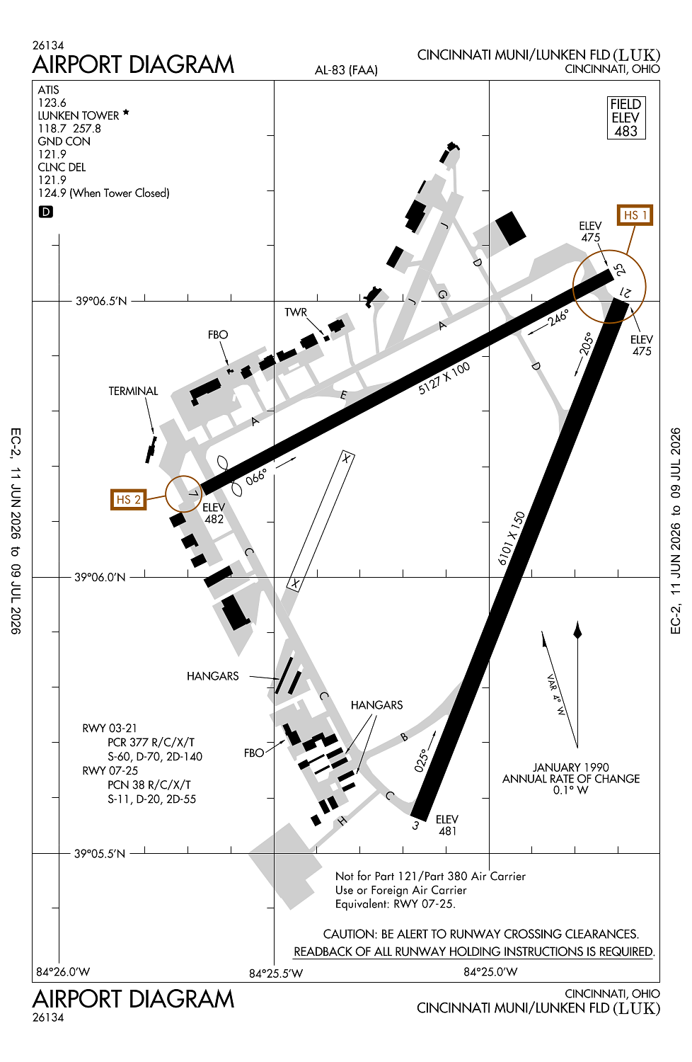
Runway 03R/21L:
6,101ft
Runway 03/21:
6,101ft
Runway 07/25:
5,127ft
Runway 03L/21R:
3,801ft
Access: Open to the public
Similar Airports
Current Weather — VFR
-
Weather data is strictly informational and not for flight planning purposes.
-
METAR2026-07-24 11:53:00 EDT
Ceiling: Sky clear Wind: Variable Temperature: 75°F Dewpoint: 57°F Weather: N/A Visbility: 10SM Raw:METAR KLUK 241553Z VRB03KT 10SM CLR 24/14 A3014 RMK AO2 SLP204 T02390144 -
TAF2026-07-24 08:00:00 EDT – 2026-07-24 13:00:00 EDT
Ceiling: 25,000ft Wind: Calm Weather: N/A Visbility: 6SM Clouds: Broken @ 25,000ft Raw:TAF KLUK 241120Z 2412/2512 00000KT P6SM BKN250 FM241700 02005KT P6SM FEW050 BKN150 FM250000 00000KT P6SM BKN120 FM250800 00000KT 5SM BR SCT250 -
TAF2026-07-24 13:00:00 EDT – 2026-07-24 20:00:00 EDT
Ceiling: 15,000ft Wind: 020° @ 5kt Weather: N/A Visbility: 6SM Clouds: Few @ 5,000ft, Broken @ 15,000ft Raw:TAF KLUK 241120Z 2412/2512 00000KT P6SM BKN250 FM241700 02005KT P6SM FEW050 BKN150 FM250000 00000KT P6SM BKN120 FM250800 00000KT 5SM BR SCT250 -
TAF2026-07-24 20:00:00 EDT – 2026-07-25 04:00:00 EDT
Ceiling: 12,000ft Wind: Calm Weather: N/A Visbility: 6SM Clouds: Broken @ 12,000ft Raw:TAF KLUK 241120Z 2412/2512 00000KT P6SM BKN250 FM241700 02005KT P6SM FEW050 BKN150 FM250000 00000KT P6SM BKN120 FM250800 00000KT 5SM BR SCT250 -
TAF2026-07-25 04:00:00 EDT – 2026-07-25 08:00:00 EDT
Ceiling: Sky clear Wind: Calm Weather: Mist Visbility: 5SM Clouds: Scattered @ 25,000ft Raw:TAF KLUK 241120Z 2412/2512 00000KT P6SM BKN250 FM241700 02005KT P6SM FEW050 BKN150 FM250000 00000KT P6SM BKN120 FM250800 00000KT 5SM BR SCT250
Click/tap to add an annotation marker to the map
No webcams added yet.
Remarks
- Lctd 1.7 nm e of arp.
- Deer & birds on & invof arpt.
- Clsd to skedd acr ops gtr than 9 pax seats. 48 hr ppr for unsked acr ops with gtr than 30 pax seats call amgr.
- Noise abatement procs in efct call amgr. acft maint runups rstrd btn 2100-0700.
- Aer 25 & 21 are closely lctd; vfy cor rwy with compass hdg bfr dep.
Comments