Pirep is a free, collaborative database of all public and private airports. All pilots are welcome to contribute their local knowledge to any airport, no registration required.


No upcoming events. Is anything happening here soon?
Last updated: 2023-12-15 02:03:45 EST
Last updated: 2024-02-26 00:50:19 EST
Airport Statistics
- Crew car availability
- Transient parking location
- Fuel pump location
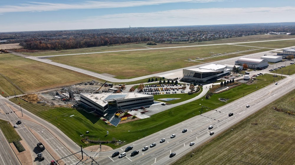
Location:
Dayton, OH
Elevation:
956ft
Sectional:
Cincinnati
Activation date:
Dec 1957
Fuel:
100LL, A, A+ (prices)
Runway 02/20:
5,000ft
Access: Open to the public
Similar Airports


Current Weather — VFR
-
Weather data is strictly informational and not for flight planning purposes.
-
METAR2026-07-14 14:53:00 EDT
Ceiling: Sky clear Wind: 150° @ 6kt Temperature: 86°F Dewpoint: 68°F Weather: N/A Visbility: 10SM Clouds: Few @ 4,700ft, Few @ 6,000ft Raw:METAR KMGY 141853Z AUTO 15006KT 10SM FEW047 FEW060 30/20 A3018 RMK AO2 SLP211 T03000200
Click/tap to add an annotation marker to the map
No webcams added yet.
Remarks
- This airport has been surveyed by the national geodetic survey.
- Deer, birds, & otr wildlife on & invof arpt.
- Sfc conds unmon 1530-0700 wkdays & all day wkends/hols.
- Full pwr maint runups prohibited in the hldg apn at the nw corner of twy a 0800-1700 wkdays.
- Actvt mals rwy 20; papi rwy 02 & 20; mirl rwy 02/20 - ctaf. twy lgts opr consly ss-sr.
- Prior cdn rqrd.
- Cell 937-776-2194.
- Apch slp 34:1 to dthr.
Comments