Pirep is a free, collaborative database of all public and private airports. All pilots are welcome to contribute their local knowledge to any airport, no registration required.
No upcoming events. Is anything happening here soon?
Last updated: 2023-05-24 22:37:15 EDT
Airport Statistics
- Transient parking location
- Local flying clubs
- Landing & tie-down fees
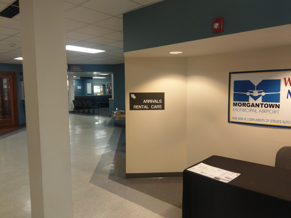
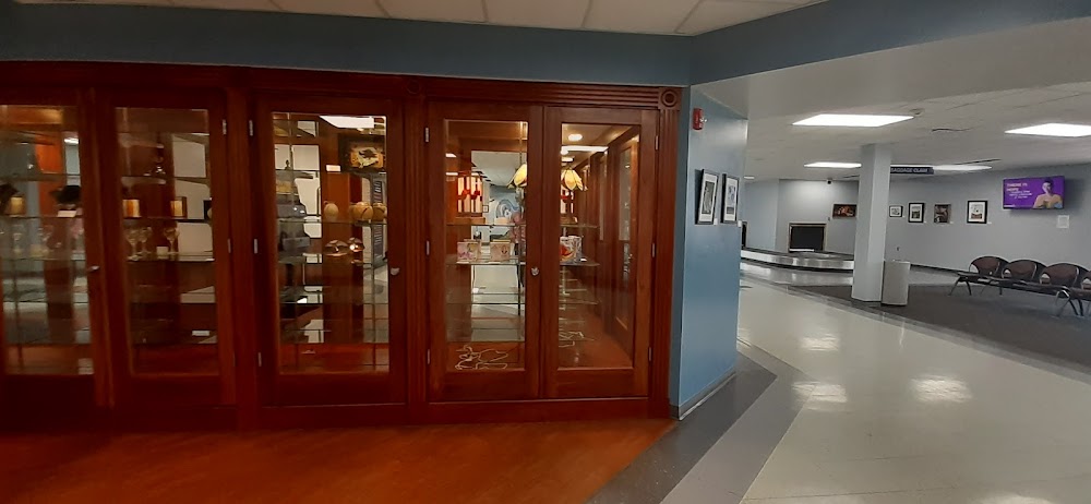
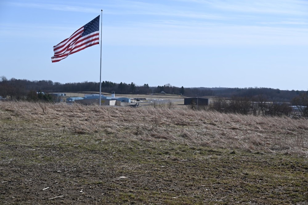
Location:
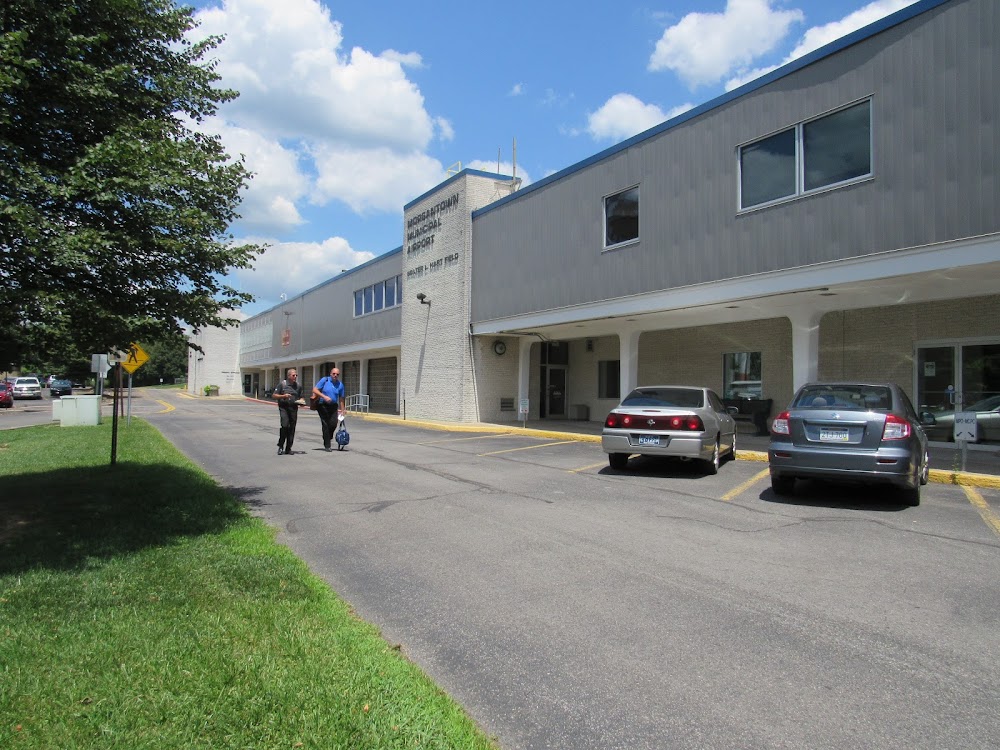
Morgantown, WV
Elevation:
1,243ft
Sectional:
Cincinnati
Activation date:
Jun 1938
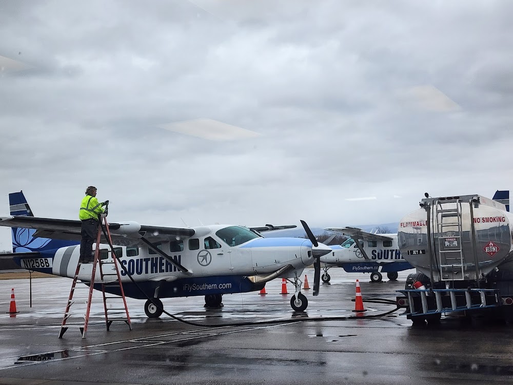
Fuel:
100LL, A, A+ (prices)
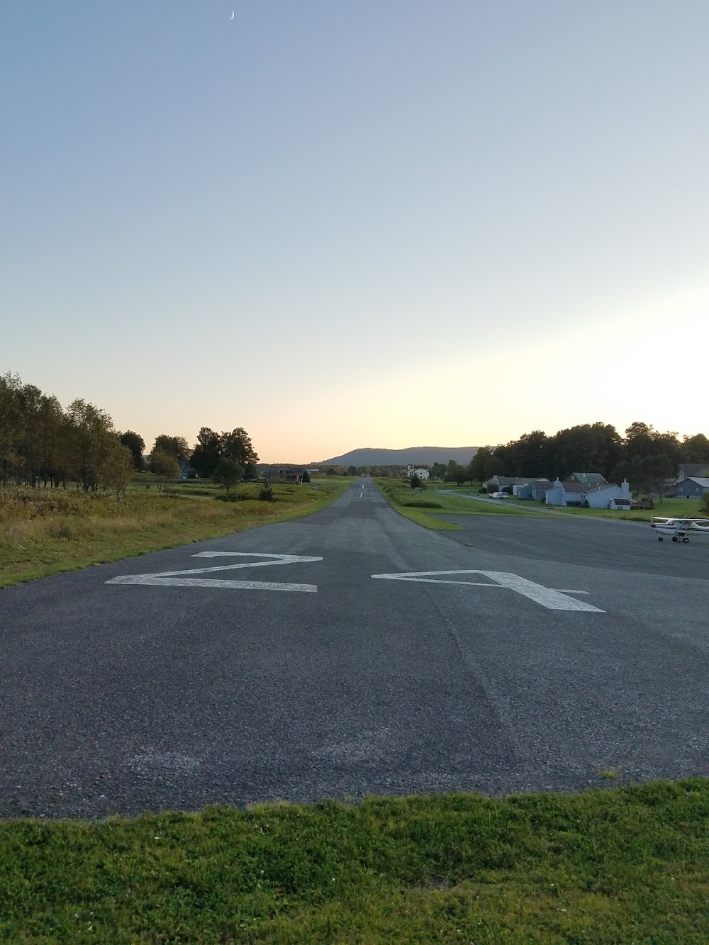
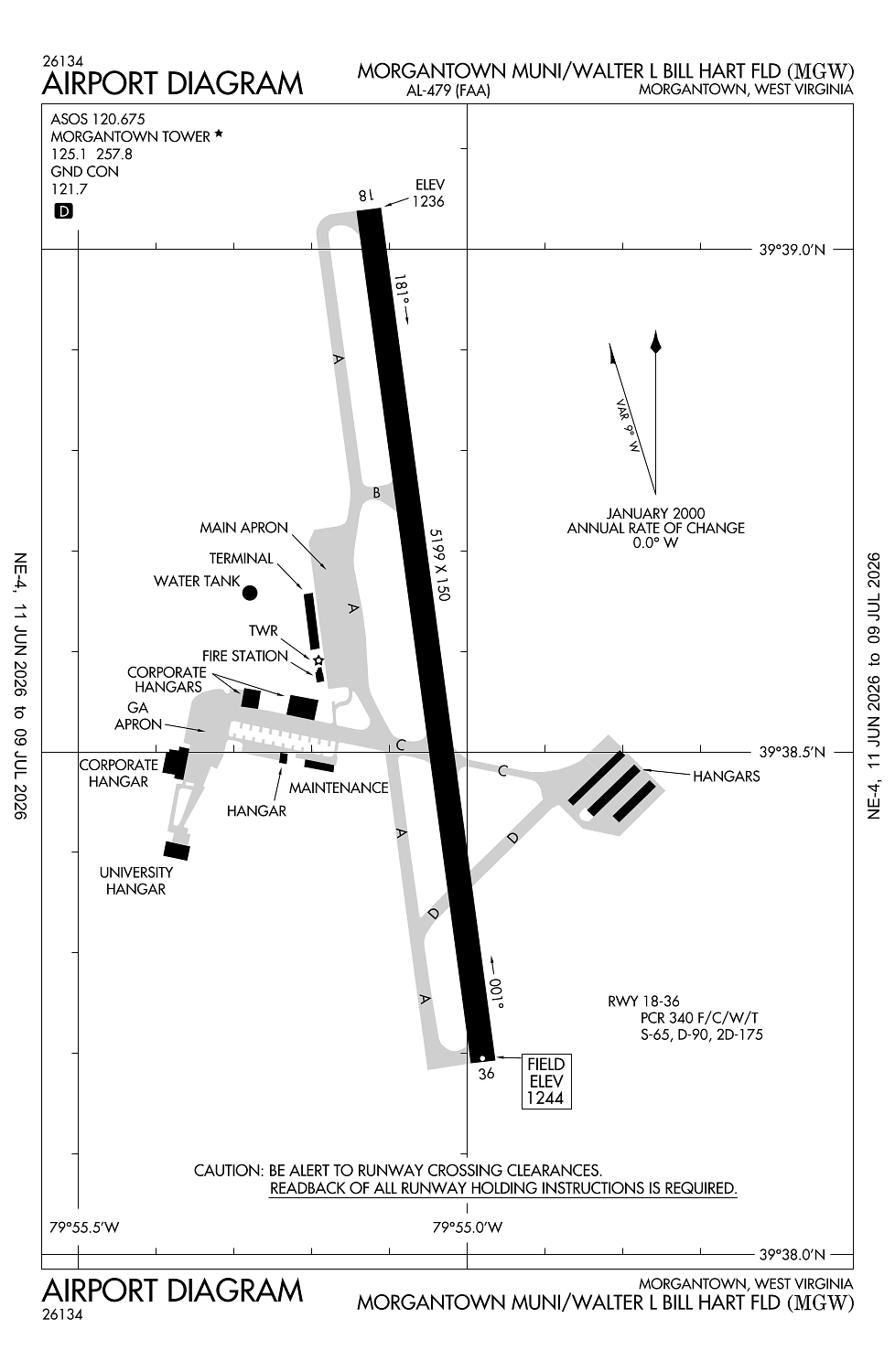
Runway 18/36:
5,199ft
Access: Open to the public
Similar Airports
Current Weather — VFR
-
Weather data is strictly informational and not for flight planning purposes.
-
METAR2026-07-20 08:53:00 EDT
Ceiling: Sky clear Wind: Calm Temperature: 66°F Dewpoint: 60°F Weather: N/A Visbility: 9SM Raw:METAR KMGW 201253Z 00000KT 9SM CLR 19/16 A3003 RMK AO2 SLP162 T01890156 -
TAF2026-07-20 08:00:00 EDT – 2026-07-21 08:00:00 EDT
Ceiling: Sky clear Wind: Variable Weather: N/A Visbility: 6SM Clouds: Few @ 25,000ft Raw:TAF KMGW 201120Z 2012/2112 VRB05KT P6SM FEW250
Click/tap to add an annotation marker to the map
No webcams added yet.
Remarks
- Ppr 24 hrs for unscheduled acr opns, call amgr 304-291-7461.
- Deer & birds on & invof arpt.
- Fbo hrs mon-fri 0500-0000, sat-sun 0500-2300. 24-hr phone nr 304-296-2359.
- Be alert: possibility of turbulence invof power plant stacks 3.6 miles n of afld durg cold weather.
- For cd ctc clarksburg apch at 304-842-2011, when apch clsd ctc cleveland artcc at 440-774-0226.
Comments