Pirep is a free, collaborative database of all public and private airports. All pilots are welcome to contribute their local knowledge to any airport, no registration required.
No upcoming events. Is anything happening here soon?
Last updated: 2024-02-26 21:15:02 MST
Airport Statistics
- WiFi availability
- Transient parking location
- Airport map annotations
Location:
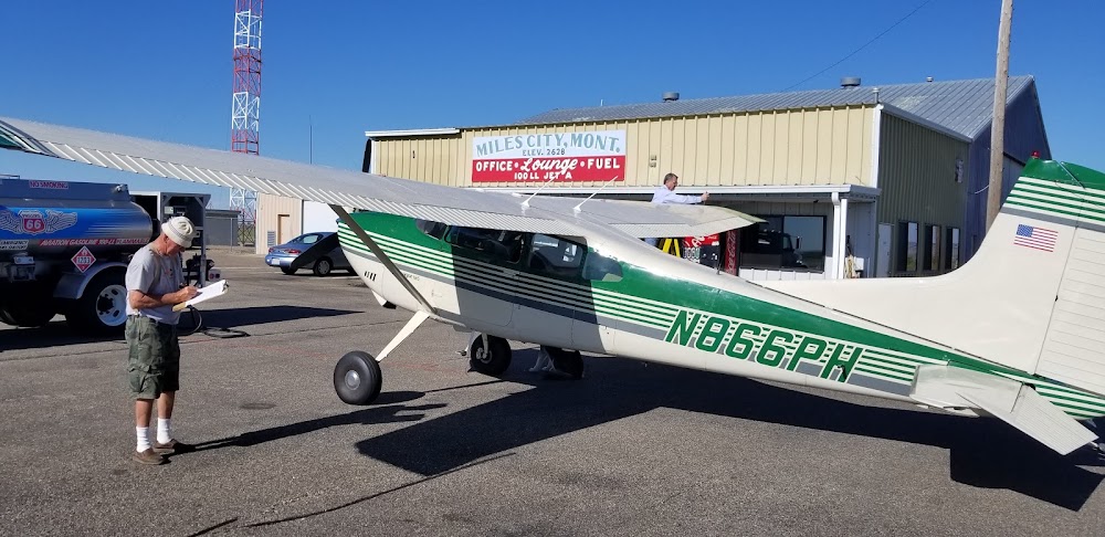
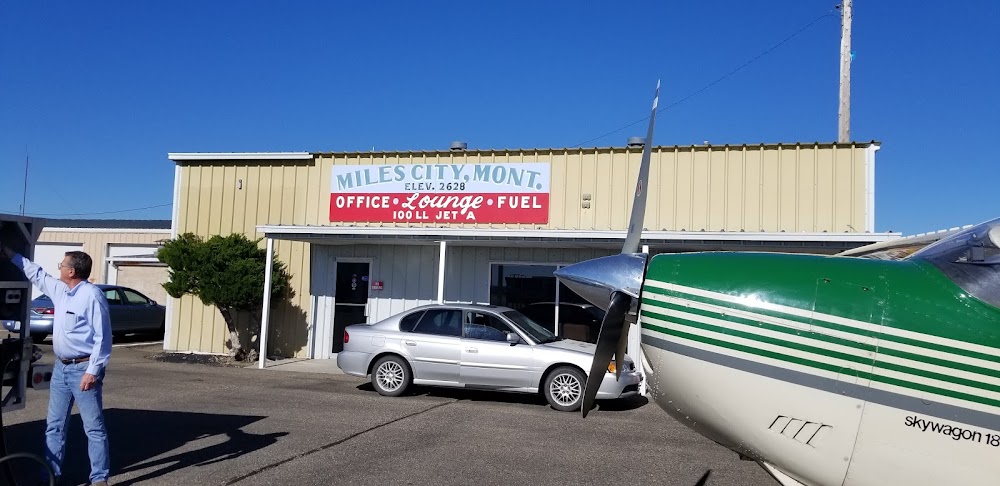
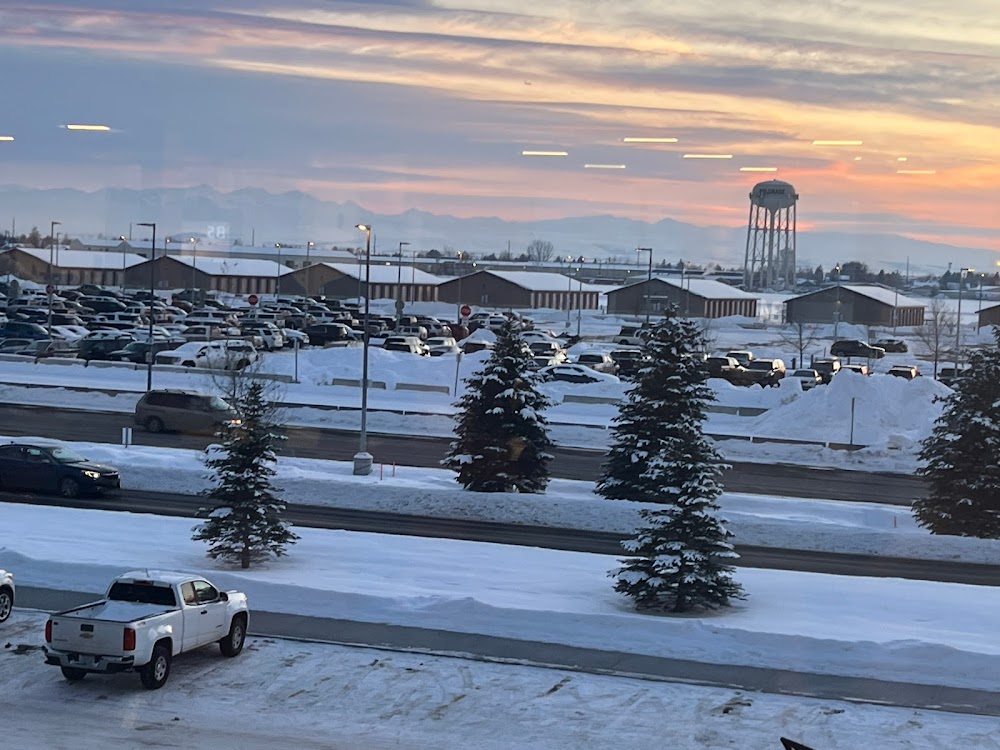
Miles City, MT
Elevation:
2,634ft
Sectional:
Billings
Activation date:
Apr 1940
Fuel:
100LL, A (prices)
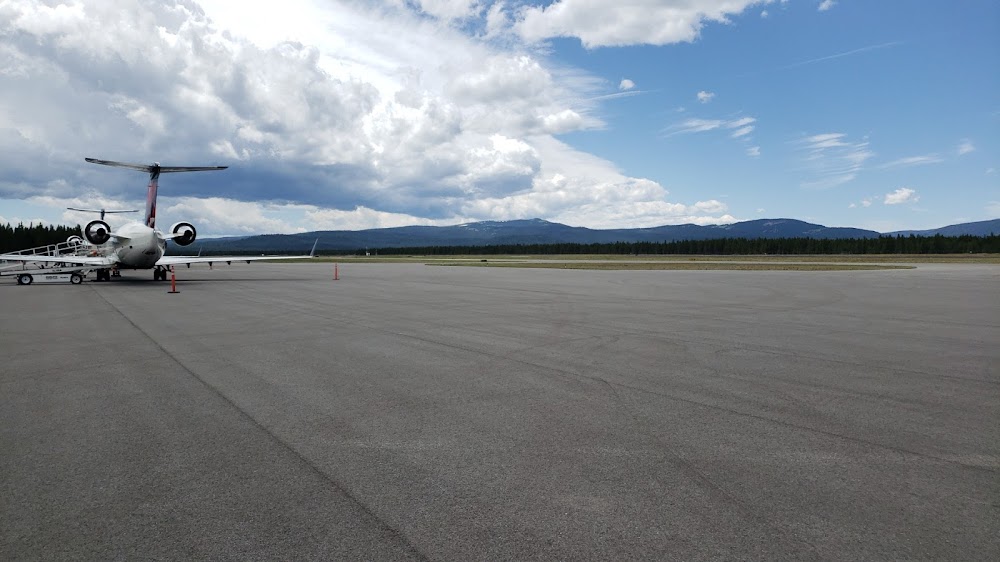
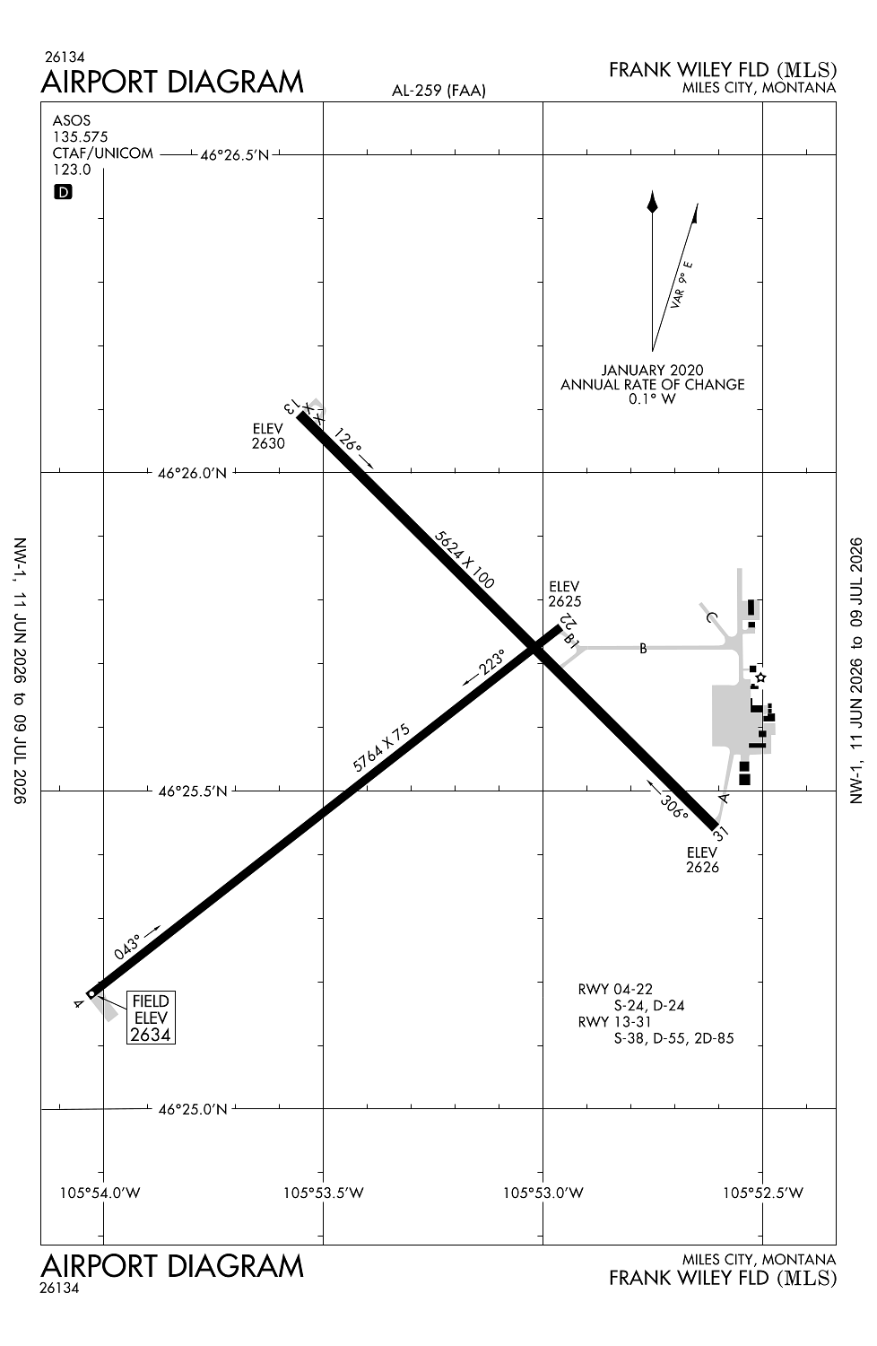
Runway 04/22:
5,764ft
Runway 13/31:
5,624ft
Access: Open to the public
Similar Airports

Current Weather — VFR
-
Weather data is strictly informational and not for flight planning purposes.
-
METAR2026-07-18 15:53:00 MDT
Ceiling: Sky clear Wind: 140° @ 9kt Temperature: 95°F Dewpoint: 60°F Weather: N/A Visbility: 10SM Raw:METAR KMLS 182153Z AUTO 14009KT 10SM CLR 35/16 A2993 RMK AO2 SLP107 T03500161 -
TAF2026-07-18 12:00:00 MDT – 2026-07-18 17:00:00 MDT
Ceiling: 15,000ft Wind: 120° @ 8kt Weather: N/A Visbility: 6SM Clouds: Scattered @ 10,000ft, Broken @ 15,000ft Raw:TAF KMLS 181720Z 1818/1918 12008KT P6SM SCT100 BKN150 FM182300 15007KT P6SM VCSH FEW090 SCT240 FM190600 VRB06KT P6SM SCT150 -
TAF2026-07-18 17:00:00 MDT – 2026-07-19 00:00:00 MDT
Ceiling: Sky clear Wind: 150° @ 7kt Weather: Showers in vicinity Visbility: 6SM Clouds: Few @ 9,000ft, Scattered @ 24,000ft Raw:TAF KMLS 181720Z 1818/1918 12008KT P6SM SCT100 BKN150 FM182300 15007KT P6SM VCSH FEW090 SCT240 FM190600 VRB06KT P6SM SCT150 -
TAF2026-07-19 00:00:00 MDT – 2026-07-19 12:00:00 MDT
Ceiling: Sky clear Wind: Variable Weather: N/A Visbility: 6SM Clouds: Scattered @ 15,000ft Raw:TAF KMLS 181720Z 1818/1918 12008KT P6SM SCT100 BKN150 FM182300 15007KT P6SM VCSH FEW090 SCT240 FM190600 VRB06KT P6SM SCT150
Click/tap to add an annotation marker to the map
Remarks
- Trng act wi 15 mi. birds invof arpt.
- Ovngt and weekly hngr storage avbl, contact arpt mgr.
- Catering avbl with h24 notice, ctc arpt mgr.
- Ovngt and weekly hngr storage avbl, contact arpt mgr.
- Crew car available.
Comments