Pirep is a free, collaborative database of all public and private airports. All pilots are welcome to contribute their local knowledge to any airport, no registration required.
No upcoming events. Is anything happening here soon?
Last updated: 2023-05-01 16:33:53 PDT
Last updated: 2024-07-08 00:09:47 PDT
Last updated: 2024-07-07 14:15:26 PDT
Airport Statistics
- Webcam links
- Local flying clubs
- Crew car availability
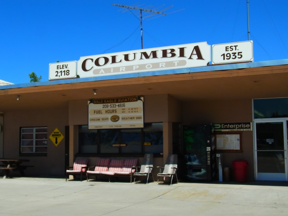
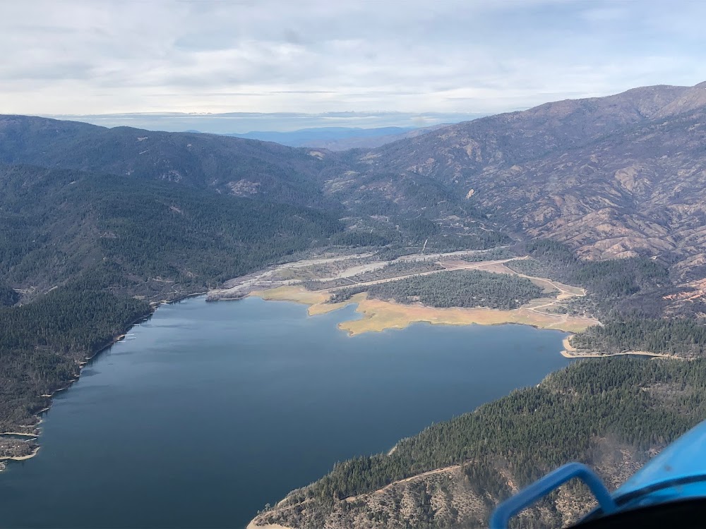
Location:
Columbia, CA
Elevation:
2,120ft
Sectional:
San Francisco
Activation date:
Apr 1940
Fuel:
100LL, A (prices)
Runway 17/35:
4,673ft
Runway 11/29:
2,607ft
Access: Open to the public
Similar Airports
Click/tap to add an annotation marker to the map
No webcams added yet.
Remarks
- Arpt has two rotg bcns; one on the arpt and one 6500' se thr rwy 35.
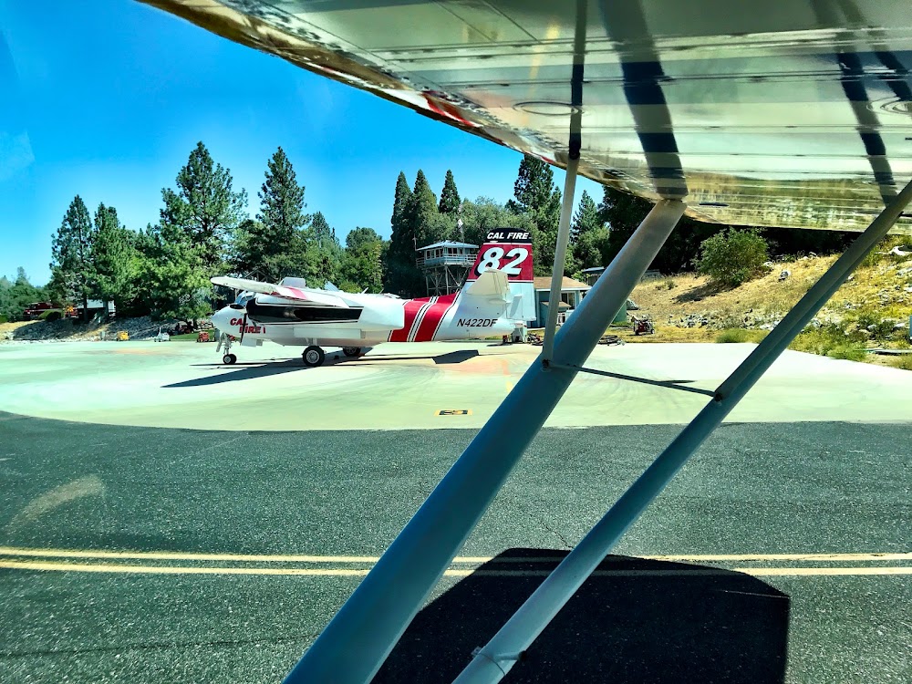
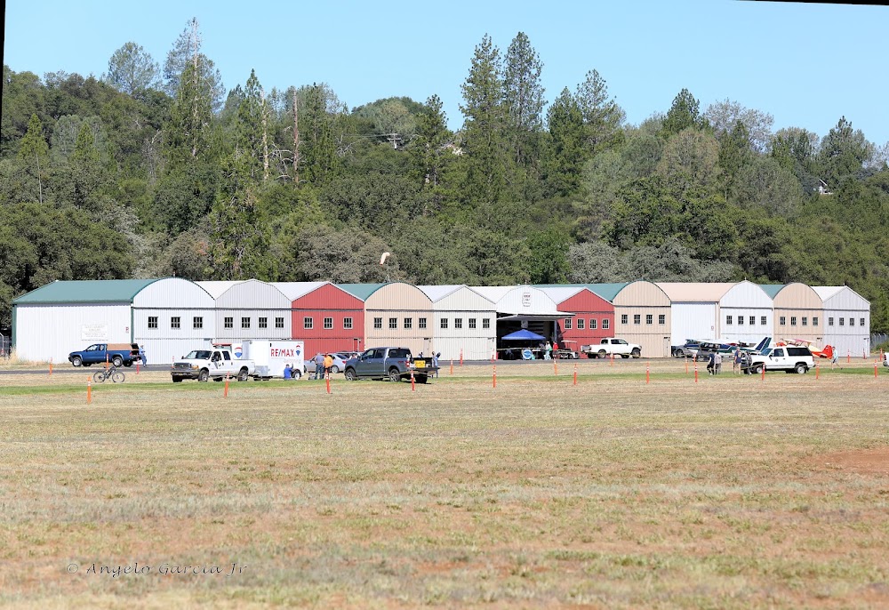
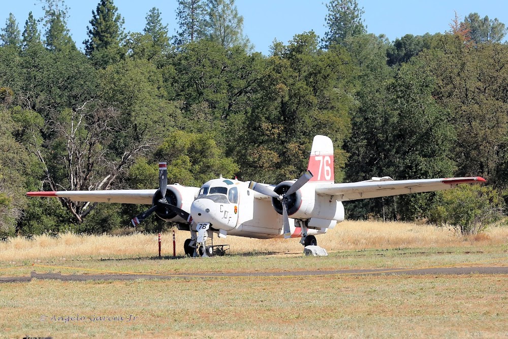
- Calfire air tanker oprs fm arpt drg fire season.
- Varying wind direction & velocity may be encountered at mid point of ry 17/35 due to terrain features & wind flow patterns.
- Ry 11 deps prohibited due to conflict with main ry.
- Turf twy north side of ry 11/29 not recommended for use nov - mar
- Ry 29 not recommended for use during winter months nov through mar.
- All jet acft are requested to land ry 35 & depart ry 17 wind & weather permitting.
- Landing fee for all commercial operators regardless of size & corporate acft over 12500 lbs gross landing weight.
When walking into the city and if you are good on foot, when you leave the terminal building, turn 10º to the left and follow the nature path to the Columbia State Park. The path will let you question several times if you are on the right path, but it is the fastest path to the old gold mining town and the state park. Once you reach the main road, turn left and follow it into the town.
Great airport with a really great campground. Spent a night there. For taxiing to the campground you can either take the gravel taxiway right next to the wind sock or take the asphalt taxiway next to the grass runway and then cross 11/29. The gravel taxiway is okay and work if you are taking it slow, but if it’s dry I would prefer crossing over 11/29. The gravel as a couple of loosely filled pot holes and you will definitely kick up a lot of stones when you taxi there.