Pirep is a free, collaborative database of all public and private airports. All pilots are welcome to contribute their local knowledge to any airport, no registration required.


No upcoming events. Is anything happening here soon?
Last updated: 2024-03-21 21:33:13 PDT
Airport Statistics
Location:
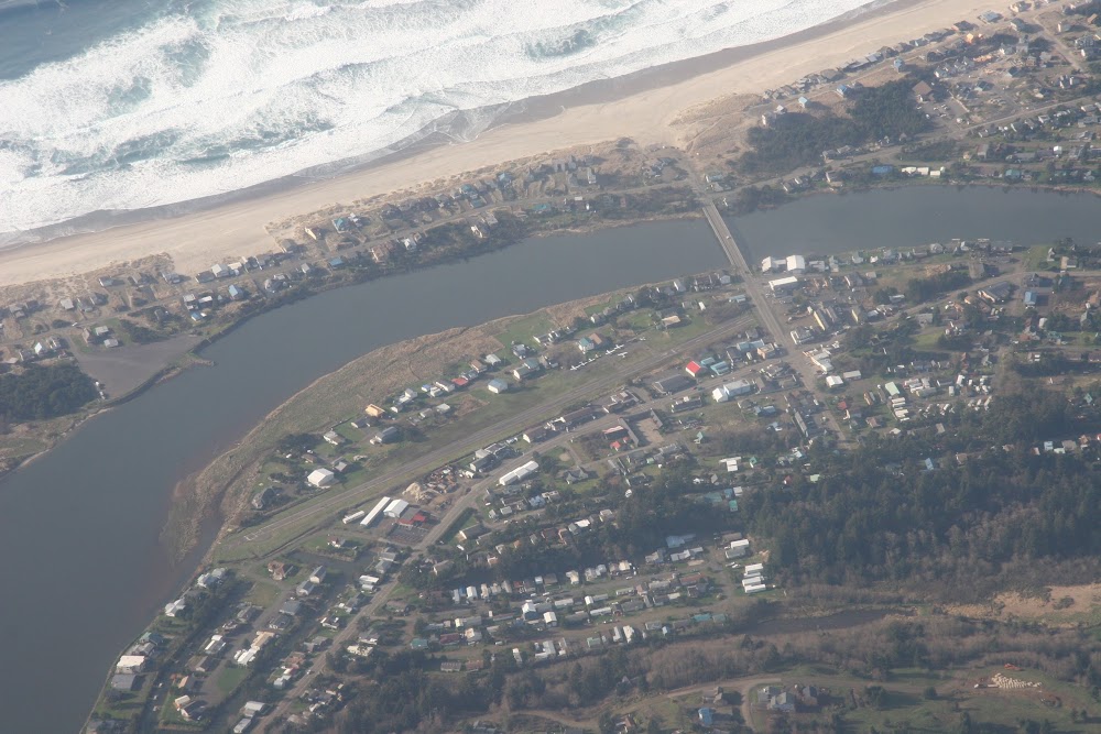
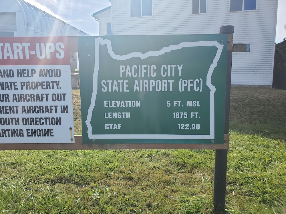
Pacific City, OR
Elevation:
10ft
Sectional:
Seattle
Activation date:
Jul 1951
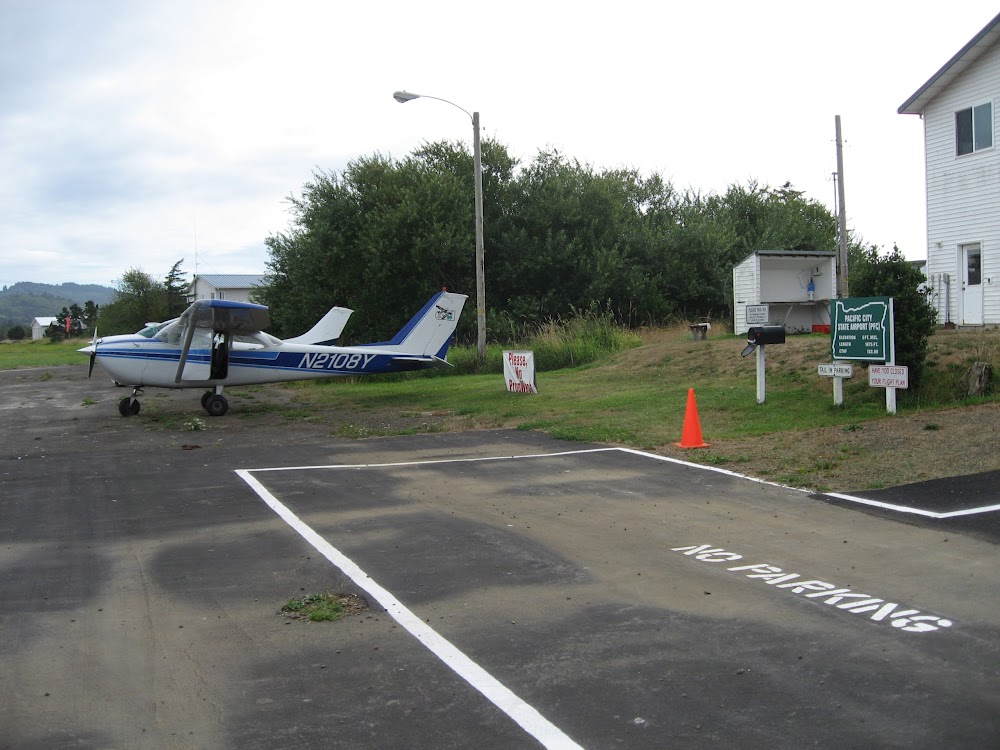
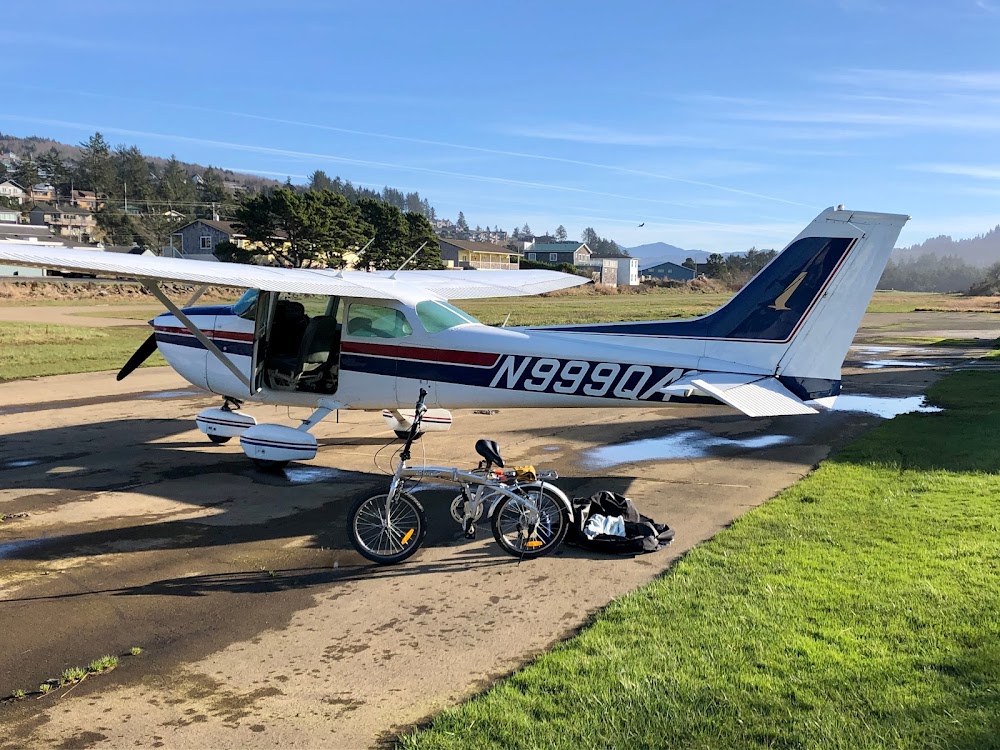
Fuel:
None
Runway 14/32:
1,860ft
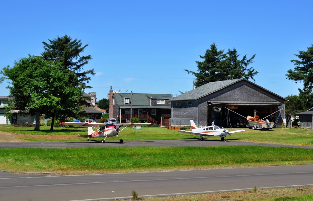
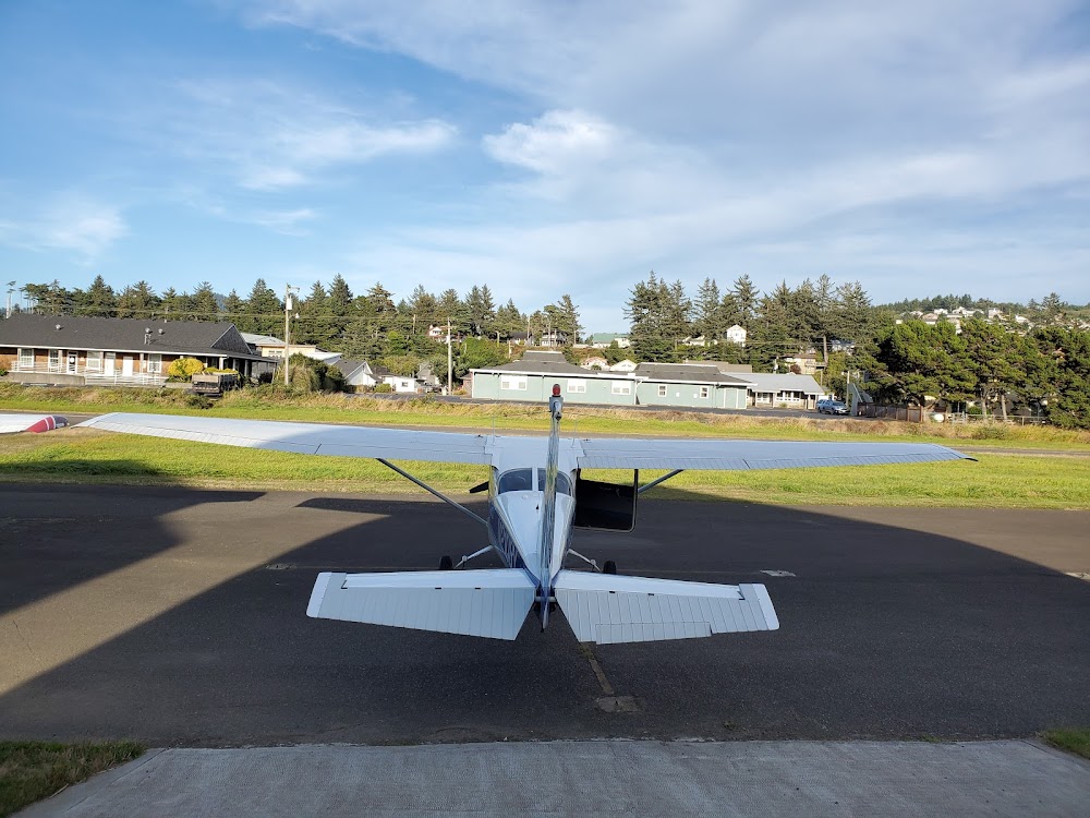
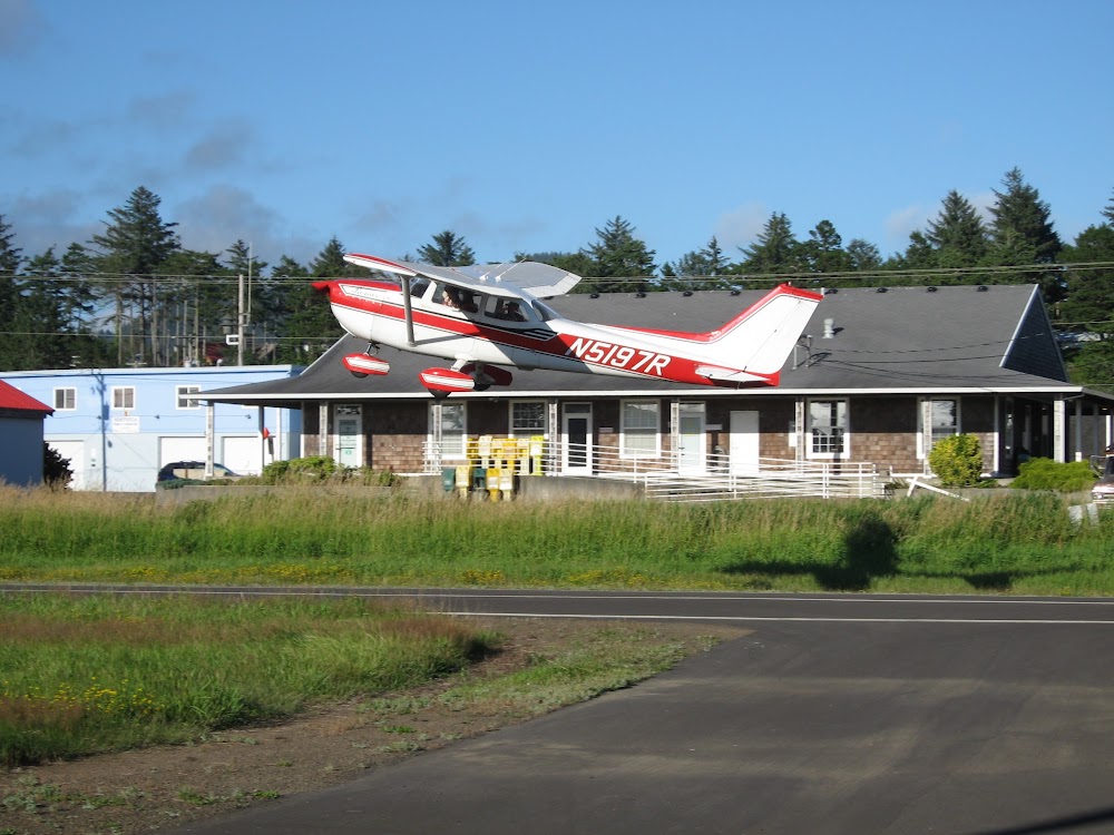
Access: Open to the public
Similar Airports

Click/tap to add an annotation marker to the map
Remarks
- Estabd prior to 1959.
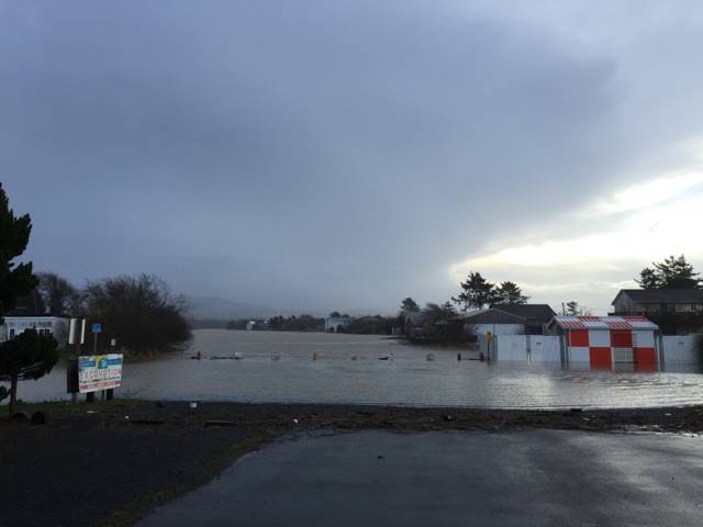
- Ry may be under water during winter high tides.
- Owner adzs ctc with dept of aviation 503-378-4880 prior to use.
- Soft & marshy off paved areas.
- Occasional driftwood on rwy due to flooding
- Downwind lndgs not rcmdd and may not be psbl.
- Many close in obstns on both sides of ry. expect low level turbulence durg crosswind conds.
- Assorted trees and 40 ft powerline at 500 ft north of ry.
Comments