Pirep is a free, collaborative database of all public and private airports. All pilots are welcome to contribute their local knowledge to any airport, no registration required.

No upcoming events. Is anything happening here soon?
Last updated: 2023-05-04 18:00:42 EDT
Last updated: 2023-11-14 23:04:32 EST
Airport Statistics
- Crew car availability
- Webcam links
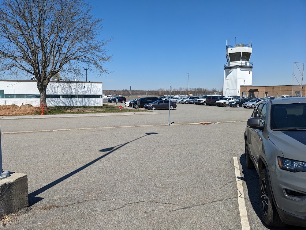
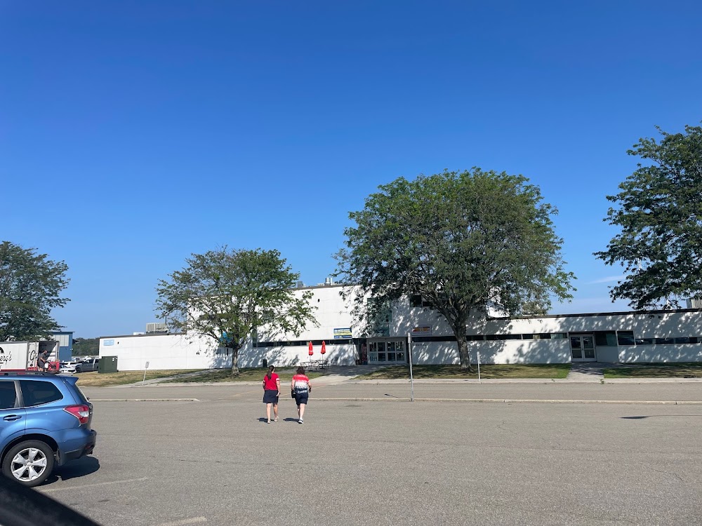
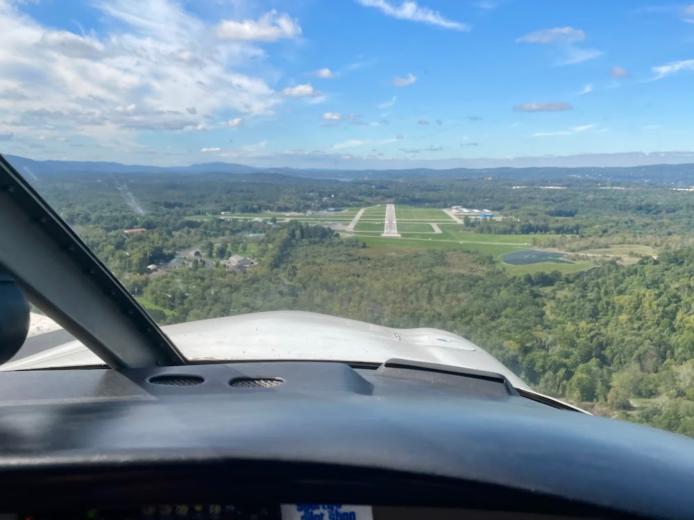
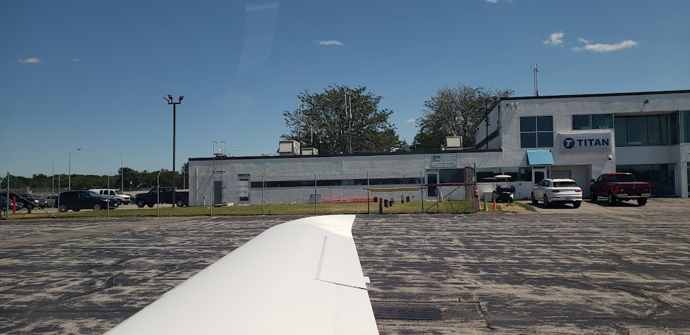
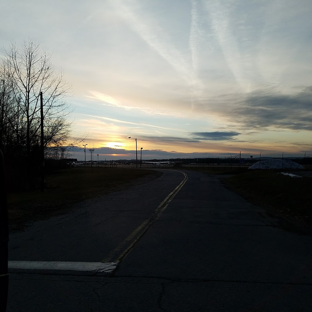
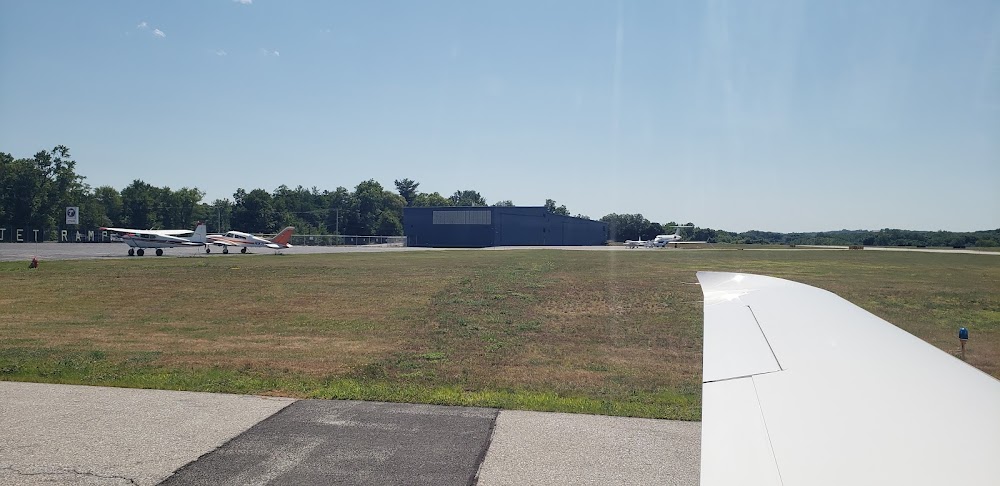
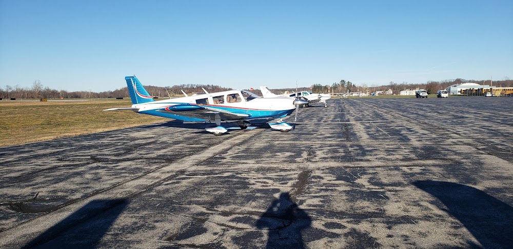
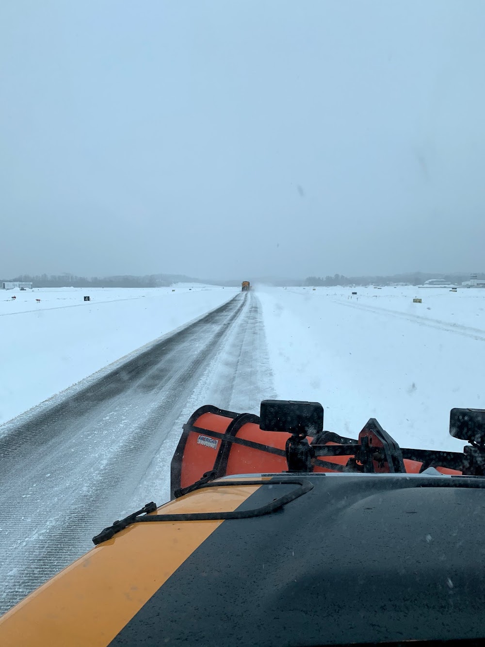
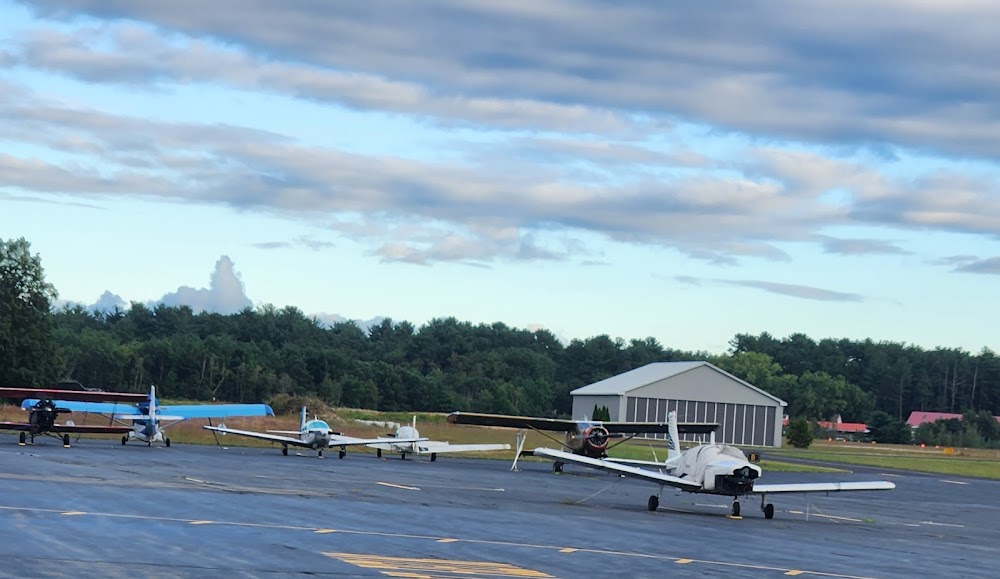
- Airport photos
Location:
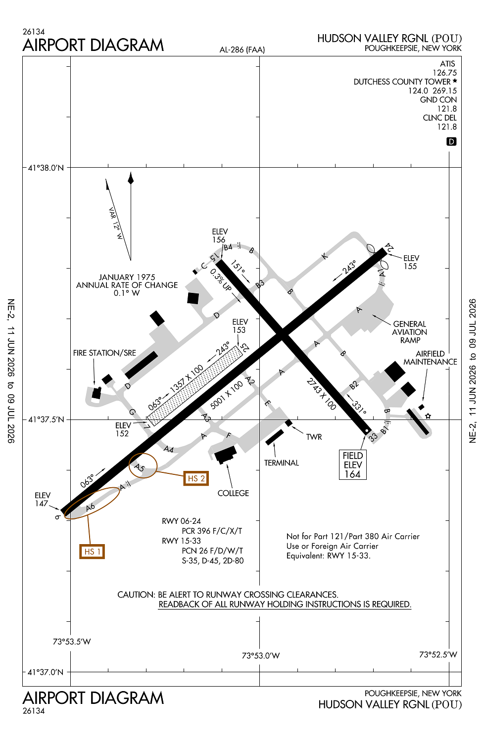
Poughkeepsie, NY
Elevation:
163ft
Sectional:
New York
Activation date:
Apr 1941
Fuel:
100LL, A (prices)
Runway 06/24:
5,001ft
Runway 15/33:
2,743ft
Runway 07/25:
1,357ft
Access: Open to the public
Similar Airports


Current Weather — VFR
-
Weather data is strictly informational and not for flight planning purposes.
-
METAR2026-07-28 20:53:00 EDT
Ceiling: 7,000ft Wind: 050° @ 3kt Temperature: 68°F Dewpoint: 66°F Weather: Light rain Visbility: 9SM Clouds: Few @ 4,300ft, Overcast @ 7,000ft Raw:METAR KPOU 290053Z 05003KT 9SM -RA FEW043 OVC070 20/19 A2962 RMK AO2 LTG DSNT S RAB16E33B39 SLP026 P0001 T02000194 -
TAF2026-07-28 20:00:00 EDT – 2026-07-29 01:00:00 EDT
Ceiling: 1,500ft Wind: 130° @ 5kt, gusts 10kt Weather: Light rain, mist Visbility: 3SM Clouds: Scattered @ 800ft, Overcast @ 1,500ft Raw:TAF KPOU 282329Z 2900/2924 13005G10KT 3SM -RA BR SCT008 OVC015 TEMPO 2900/2904 2SM RA BR BKN008 FM290500 11005KT 2SM RA BR OVC008 TEMPO 2905/2909 3SM -RA BR FM291000 04006G12KT 3SM -SHRA BR BKN008 OVC015 FM291600 03006G12KT 5SM -SHRA BKN015 -
TAF2026-07-28 20:00:00 EDT – 2026-07-29 00:00:00 EDT
Ceiling: 800ft Wind: 000° @ kt Weather: Rain, mist Visbility: 2SM Clouds: Broken @ 800ft Raw:TAF KPOU 282329Z 2900/2924 13005G10KT 3SM -RA BR SCT008 OVC015 TEMPO 2900/2904 2SM RA BR BKN008 FM290500 11005KT 2SM RA BR OVC008 TEMPO 2905/2909 3SM -RA BR FM291000 04006G12KT 3SM -SHRA BR BKN008 OVC015 FM291600 03006G12KT 5SM -SHRA BKN015 -
TAF2026-07-29 01:00:00 EDT – 2026-07-29 06:00:00 EDT
Ceiling: 800ft Wind: 110° @ 5kt Weather: Rain, mist Visbility: 2SM Clouds: Overcast @ 800ft Raw:TAF KPOU 282329Z 2900/2924 13005G10KT 3SM -RA BR SCT008 OVC015 TEMPO 2900/2904 2SM RA BR BKN008 FM290500 11005KT 2SM RA BR OVC008 TEMPO 2905/2909 3SM -RA BR FM291000 04006G12KT 3SM -SHRA BR BKN008 OVC015 FM291600 03006G12KT 5SM -SHRA BKN015 -
TAF2026-07-29 01:00:00 EDT – 2026-07-29 05:00:00 EDT
Ceiling: Sky clear Wind: 000° @ kt Weather: Light rain, mist Visbility: 3SM Raw:TAF KPOU 282329Z 2900/2924 13005G10KT 3SM -RA BR SCT008 OVC015 TEMPO 2900/2904 2SM RA BR BKN008 FM290500 11005KT 2SM RA BR OVC008 TEMPO 2905/2909 3SM -RA BR FM291000 04006G12KT 3SM -SHRA BR BKN008 OVC015 FM291600 03006G12KT 5SM -SHRA BKN015 -
TAF2026-07-29 06:00:00 EDT – 2026-07-29 12:00:00 EDT
Ceiling: 800ft Wind: 040° @ 6kt, gusts 12kt Weather: Light rain showers, mist Visbility: 3SM Clouds: Broken @ 800ft, Overcast @ 1,500ft Raw:TAF KPOU 282329Z 2900/2924 13005G10KT 3SM -RA BR SCT008 OVC015 TEMPO 2900/2904 2SM RA BR BKN008 FM290500 11005KT 2SM RA BR OVC008 TEMPO 2905/2909 3SM -RA BR FM291000 04006G12KT 3SM -SHRA BR BKN008 OVC015 FM291600 03006G12KT 5SM -SHRA BKN015 -
TAF2026-07-29 12:00:00 EDT – 2026-07-29 20:00:00 EDT
Ceiling: 1,500ft Wind: 030° @ 6kt, gusts 12kt Weather: Light rain showers Visbility: 5SM Clouds: Broken @ 1,500ft Raw:TAF KPOU 282329Z 2900/2924 13005G10KT 3SM -RA BR SCT008 OVC015 TEMPO 2900/2904 2SM RA BR BKN008 FM290500 11005KT 2SM RA BR OVC008 TEMPO 2905/2909 3SM -RA BR FM291000 04006G12KT 3SM -SHRA BR BKN008 OVC015 FM291600 03006G12KT 5SM -SHRA BKN015
Click/tap to add an annotation marker to the map
No webcams added yet.
Remarks
- Ppr 24 hrs for acr ops with more than 30 pax seats; call amgr 845-463-6000. index b coverage is prvdd.
- Noise abatement procedures in efct ctc amgr for details.
- Birds & deer on & invof arpt.
- Rwy 07/25 restricted to acft less than 12500 lbs.
- Ctc fbo durg bus hrs at 845-849-3770 for aft hrs fuel svc.
Comments