Pirep is a free, collaborative database of all public and private airports. All pilots are welcome to contribute their local knowledge to any airport, no registration required.
No upcoming events. Is anything happening here soon?
Last updated: 2024-03-10 21:35:04 MDT
Airport Statistics
- General description
- Landing & tie-down fees
- Crew car availability
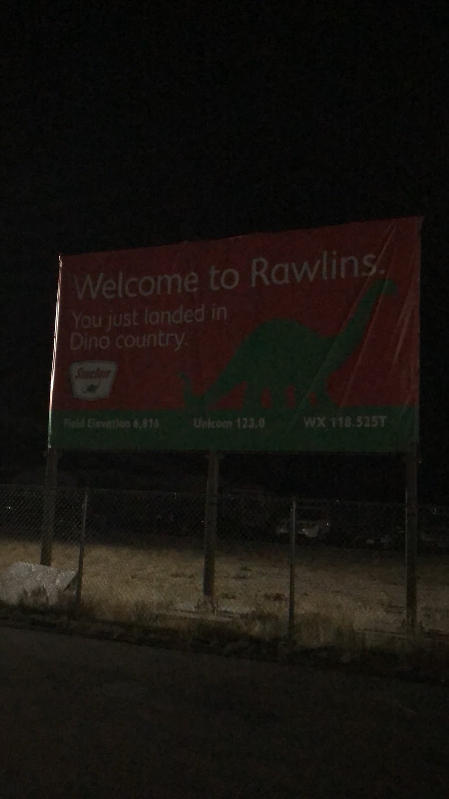
Location:
Rawlins, WY
Elevation:
6,816ft
Sectional:
Cheyenne
Activation date:
Nov 1937
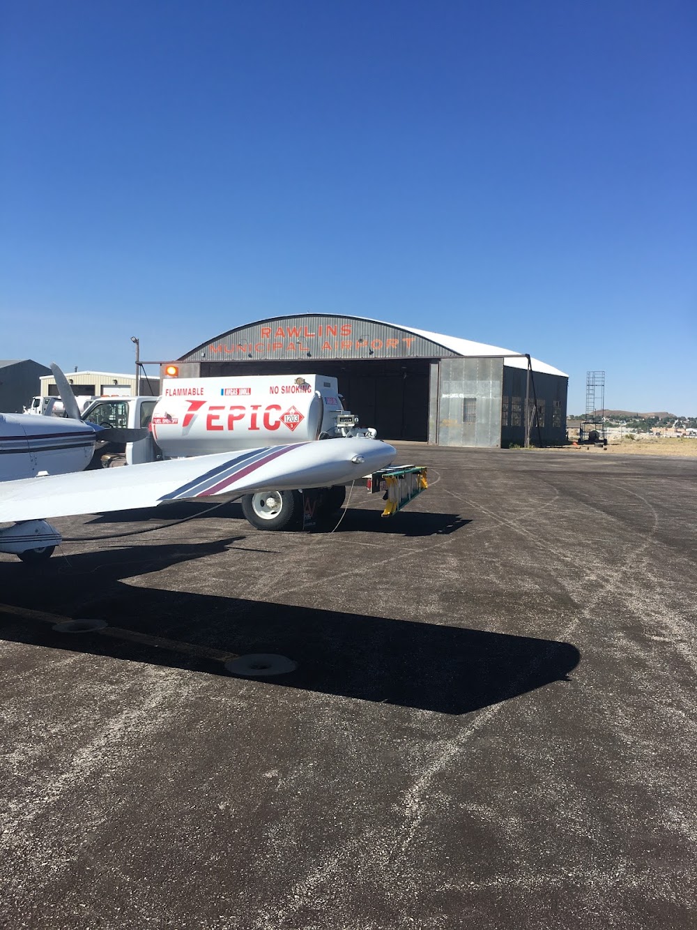
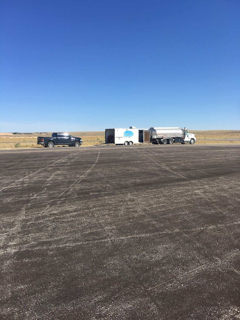
Fuel:
100LL, A (prices)
Runway 04/22:
7,008ft
Runway 11/29:
4,322ft
Access: Open to the public
Similar Airports

Current Weather — VFR
-
Weather data is strictly informational and not for flight planning purposes.
-
METAR2026-07-20 22:53:00 MDT
Ceiling: 11,000ft Wind: 340° @ 13kt Temperature: 78°F Dewpoint: 46°F Weather: N/A Visbility: 10SM Clouds: Overcast @ 11,000ft Raw:METAR KRWL 210453Z AUTO 34013KT 10SM OVC110 26/08 A3028 RMK AO2 LTG DSNT SE SLP130 T02560083 -
TAF2026-07-21 00:00:00 MDT – 2026-07-21 01:00:00 MDT
Ceiling: 16,000ft Wind: 020° @ 12kt Weather: Showers in vicinity Visbility: 6SM Clouds: Scattered @ 5,000ft, Broken @ 16,000ft Raw:TAF KRWL 210520Z 2106/2206 02012KT P6SM VCSH SCT050 BKN160 FM210700 04013KT P6SM SCT080 BKN130 FM211400 VRB06KT P6SM SCT120 FM211900 07009G15KT P6SM VCTS SCT120CB BKN170 PROB30 2121/2203 VRB35G45KT 3SM TSRA BKN060CB OVC120 FM220300 14008G14KT P6SM -SHRA BKN070 OVC100 -
TAF2026-07-21 01:00:00 MDT – 2026-07-21 08:00:00 MDT
Ceiling: 13,000ft Wind: 040° @ 13kt Weather: N/A Visbility: 6SM Clouds: Scattered @ 8,000ft, Broken @ 13,000ft Raw:TAF KRWL 210520Z 2106/2206 02012KT P6SM VCSH SCT050 BKN160 FM210700 04013KT P6SM SCT080 BKN130 FM211400 VRB06KT P6SM SCT120 FM211900 07009G15KT P6SM VCTS SCT120CB BKN170 PROB30 2121/2203 VRB35G45KT 3SM TSRA BKN060CB OVC120 FM220300 14008G14KT P6SM -SHRA BKN070 OVC100 -
TAF2026-07-21 08:00:00 MDT – 2026-07-21 13:00:00 MDT
Ceiling: Sky clear Wind: Variable Weather: N/A Visbility: 6SM Clouds: Scattered @ 12,000ft Raw:TAF KRWL 210520Z 2106/2206 02012KT P6SM VCSH SCT050 BKN160 FM210700 04013KT P6SM SCT080 BKN130 FM211400 VRB06KT P6SM SCT120 FM211900 07009G15KT P6SM VCTS SCT120CB BKN170 PROB30 2121/2203 VRB35G45KT 3SM TSRA BKN060CB OVC120 FM220300 14008G14KT P6SM -SHRA BKN070 OVC100 -
TAF2026-07-21 13:00:00 MDT – 2026-07-21 21:00:00 MDT
Ceiling: 17,000ft Wind: 070° @ 9kt, gusts 15kt Weather: Thunderstorm in vicinity Visbility: 6SM Clouds: Scattered @ 12,000ft, Broken @ 17,000ft Raw:TAF KRWL 210520Z 2106/2206 02012KT P6SM VCSH SCT050 BKN160 FM210700 04013KT P6SM SCT080 BKN130 FM211400 VRB06KT P6SM SCT120 FM211900 07009G15KT P6SM VCTS SCT120CB BKN170 PROB30 2121/2203 VRB35G45KT 3SM TSRA BKN060CB OVC120 FM220300 14008G14KT P6SM -SHRA BKN070 OVC100 -
TAF2026-07-21 15:00:00 MDT – 2026-07-21 21:00:00 MDT
Ceiling: 6,000ft Wind: Variable, gusts 45kt Weather: Thunderstorm rain Visbility: 3SM Clouds: Broken @ 6,000ft, Overcast @ 12,000ft Raw:TAF KRWL 210520Z 2106/2206 02012KT P6SM VCSH SCT050 BKN160 FM210700 04013KT P6SM SCT080 BKN130 FM211400 VRB06KT P6SM SCT120 FM211900 07009G15KT P6SM VCTS SCT120CB BKN170 PROB30 2121/2203 VRB35G45KT 3SM TSRA BKN060CB OVC120 FM220300 14008G14KT P6SM -SHRA BKN070 OVC100 -
TAF2026-07-21 21:00:00 MDT – 2026-07-22 00:00:00 MDT
Ceiling: 7,000ft Wind: 140° @ 8kt, gusts 14kt Weather: Light rain showers Visbility: 6SM Clouds: Broken @ 7,000ft, Overcast @ 10,000ft Raw:TAF KRWL 210520Z 2106/2206 02012KT P6SM VCSH SCT050 BKN160 FM210700 04013KT P6SM SCT080 BKN130 FM211400 VRB06KT P6SM SCT120 FM211900 07009G15KT P6SM VCTS SCT120CB BKN170 PROB30 2121/2203 VRB35G45KT 3SM TSRA BKN060CB OVC120 FM220300 14008G14KT P6SM -SHRA BKN070 OVC100
Click/tap to add an annotation marker to the map
No webcams added yet.
Remarks
- 7800 ft mtn 3 miles west, 7200 ft mtn 3 miles sw, 7200 ft mtn 3 miles ne.
- Rwy 11/29 lmtd to acft up to 12000 lbs gwt.
- Req all acft depng rwy 29 make right turnout as soon as safety pmts aft tkof to avoid housing area and for noise abatement.
- Birds invof arpt rwys.
- For cd if una to ctc on fss freq, ctc denver artcc at 303-651-4257.
- Actvt reil rwy 22 & 29; mirl rwy 04/22 & 11/29 - ctaf. papi rwy 04 & 22 opr consly.
- A $70.00 fee will be charged to all commercial/corporate aircraft unless fuel is purchased.
- Phone nr for fuel aft hrs posted on fbo door.
Comments