Pirep is a free, collaborative database of all public and private airports. All pilots are welcome to contribute their local knowledge to any airport, no registration required.
No upcoming events. Is anything happening here soon?
Last updated: 2023-03-05 23:41:14 PST
Airport Statistics
- Transient parking location
- Local flying clubs
- Airport photos
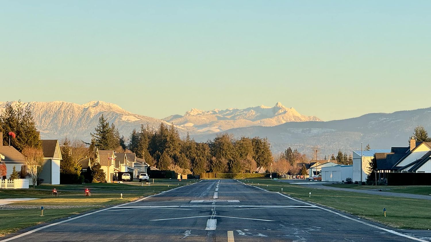
Location:
Ione, WA
Elevation:
2,109ft
Sectional:
Seattle
Activation date:
Aug 1950
Fuel:
None
Runway 15/33:
3,643ft
Runway H1:
60ft
Access: Open to the public
Similar Airports

Click/tap to add an annotation marker to the map
No webcams added yet.
Remarks
- Estabd prior to 15 may 1959.
- Wildlife invof ry.
- Arpt used for seasonal wildland fire spt
- For cd ctc seattle artcc at 253-351-3694.
- Tiedowns pilot provided
- Rwy 33 has brush 9 ft hi 0-200 ft fm rwy end, 10 ft trees and ditch 35 ft right.
- Rwy 15/33 markings are faded.
- H1 markings are faded.
Comments