Pirep is a free, collaborative database of all public and private airports. All pilots are welcome to contribute their local knowledge to any airport, no registration required.

No upcoming events. Is anything happening here soon?
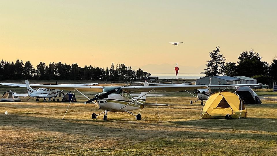
Last updated: 2023-05-05 00:34:15 MDT
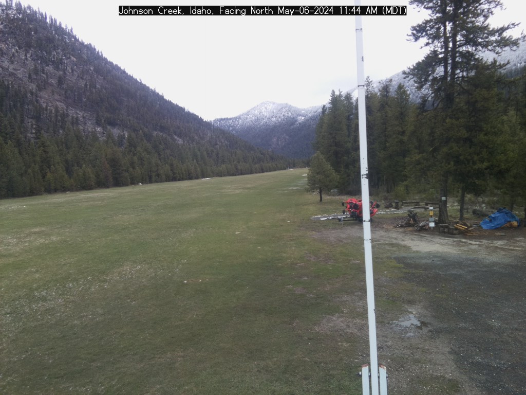
Last updated: 2023-03-07 00:03:14 MST
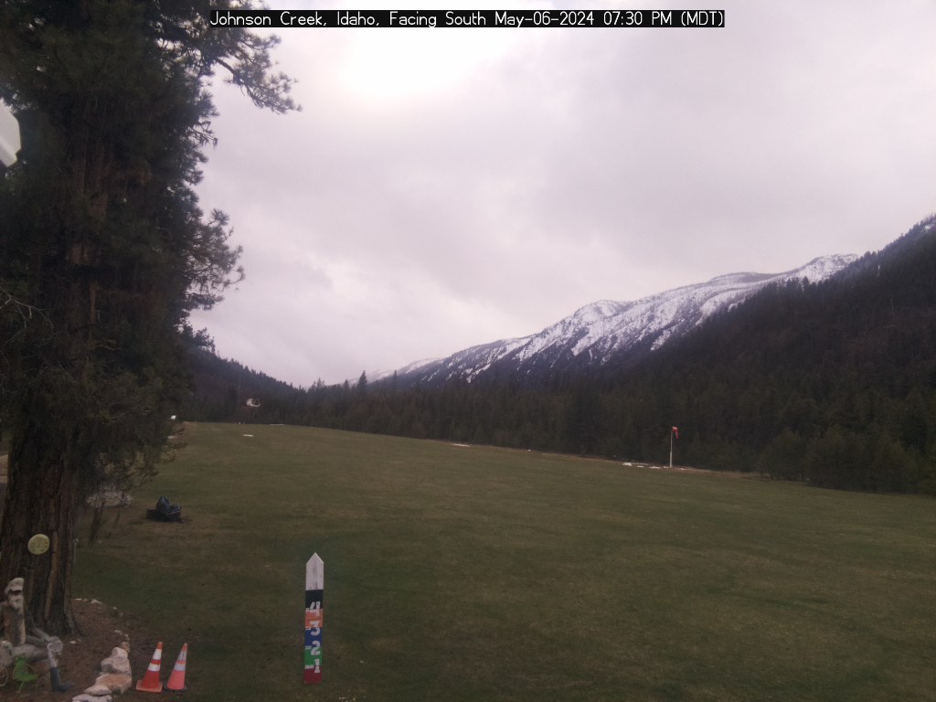
Last updated: 2023-03-06 21:40:47 MST
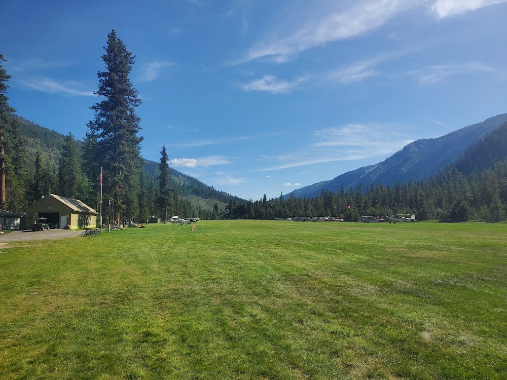
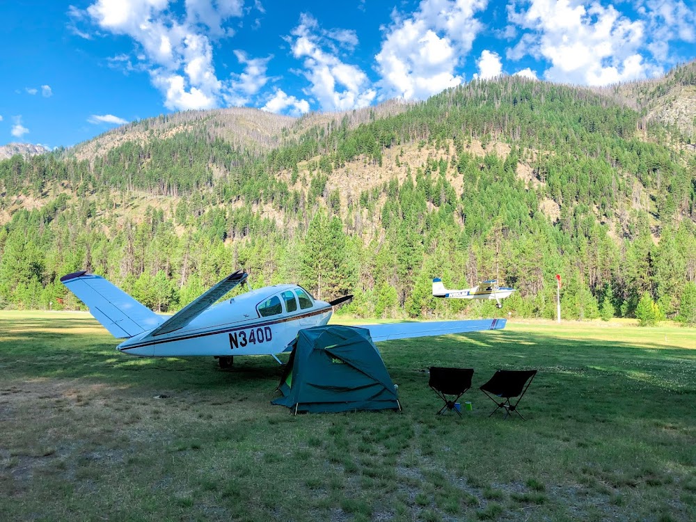
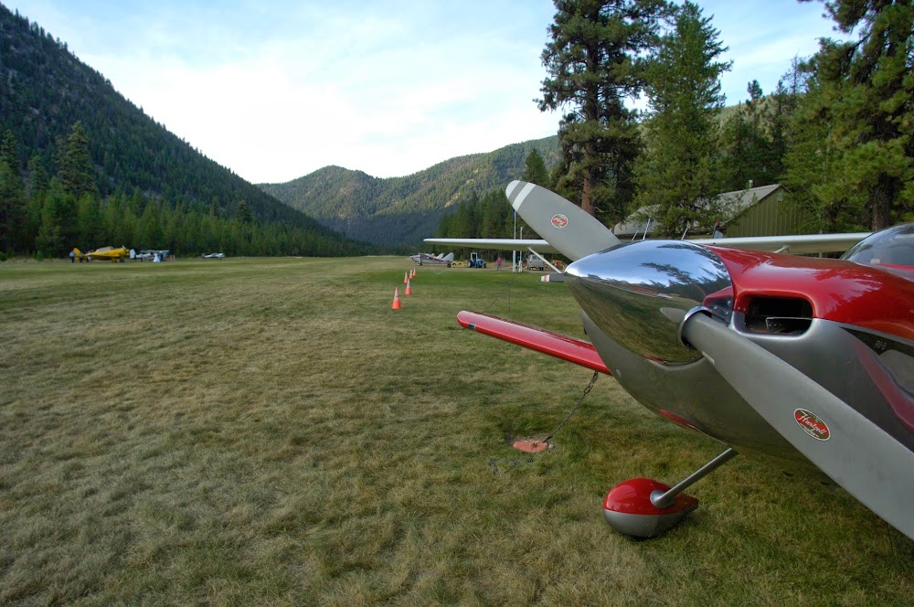
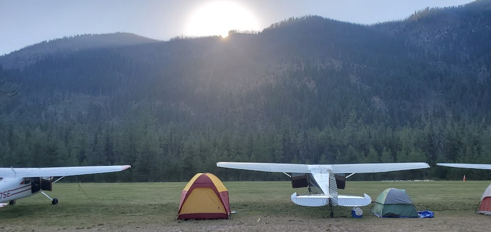
Airport Statistics
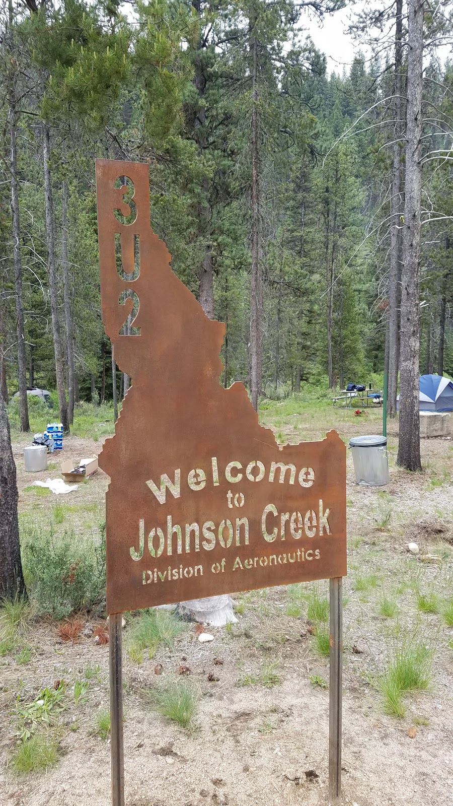
Location:
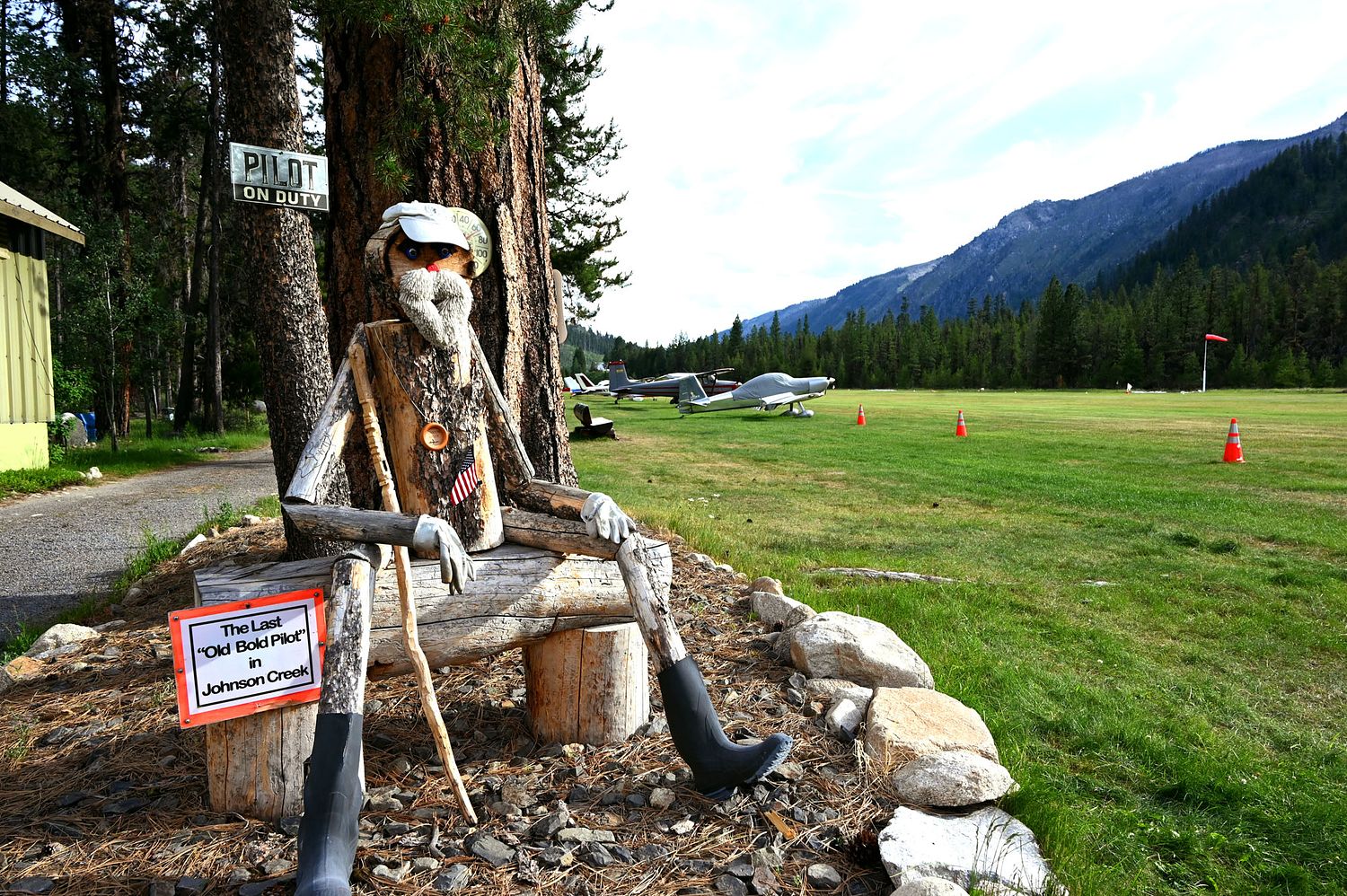
Yellow Pine, ID
Elevation:
4,960ft
Sectional:
Great Falls
Activation date:
Nov 1959
Fuel:
None
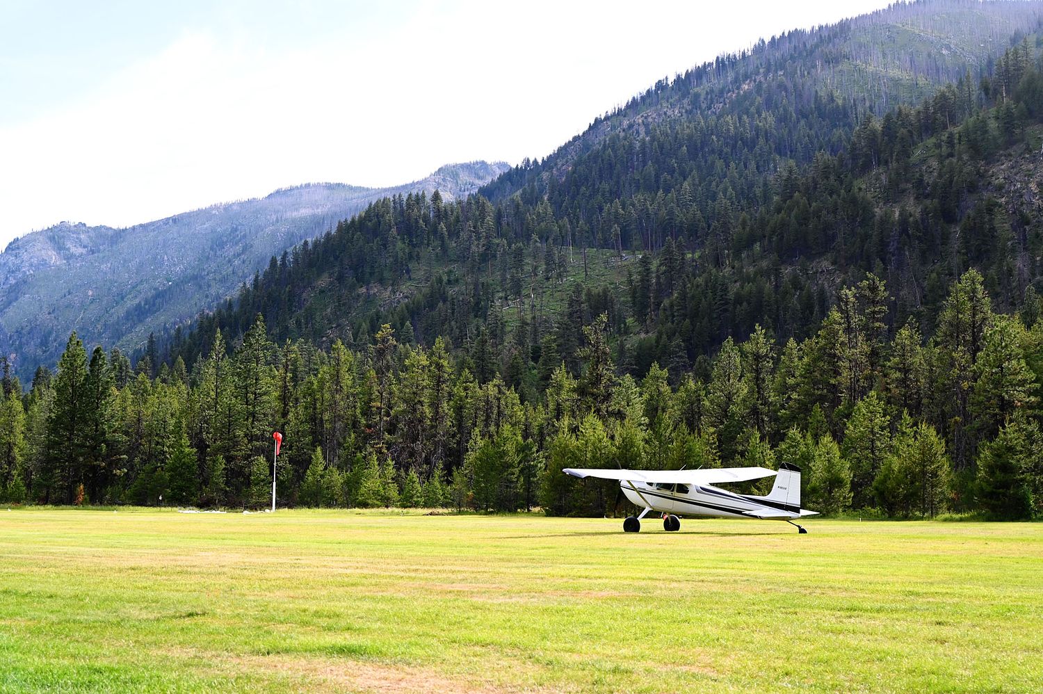
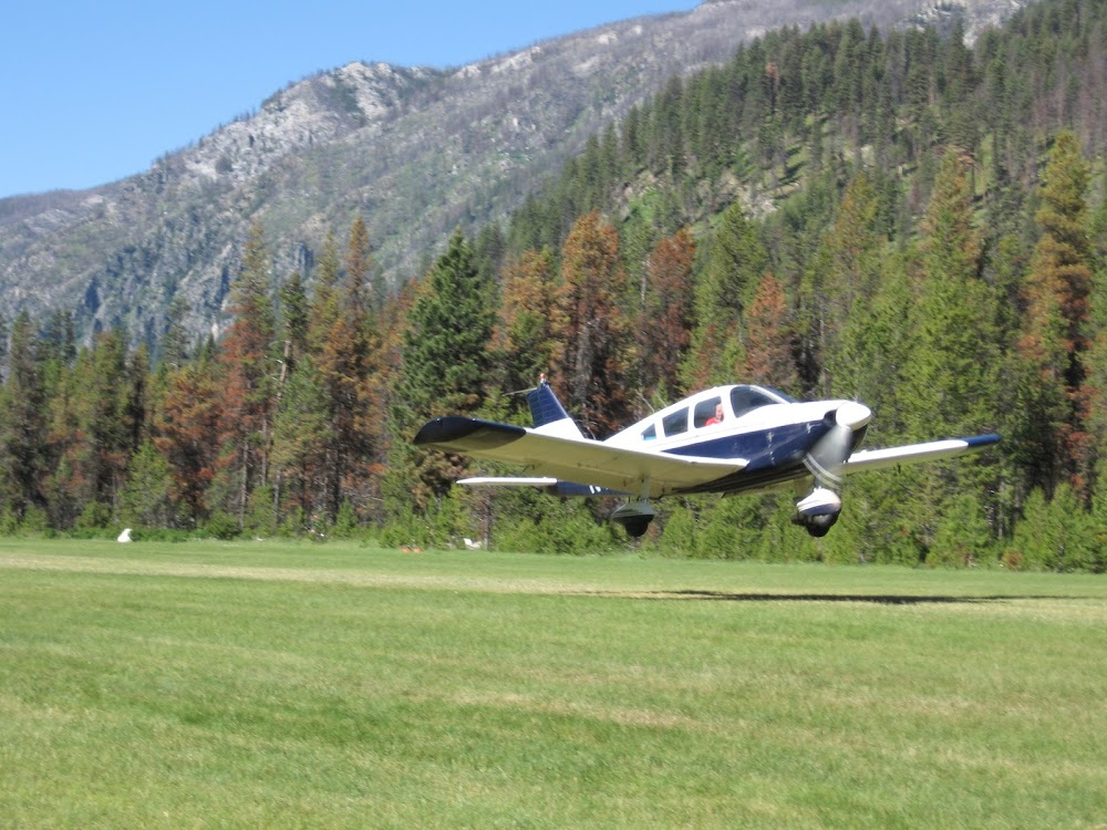
Runway 17/35:
3,400ft
Access: Open to the public
Similar Airports

Click/tap to add an annotation marker to the map
Remarks
- Estab prior to oct 1959.
- Addnl 100 ft of len avbl for tkof on rwy 35 end.
- No winter maintenance.
- Numerous +60' trees adjacent to each side of ry.
- Be alert for sprinklers on ry.
- Recommend land rwy 17; tkof rwy 35 when wind conditions allow.
- Big game animals on & invof airport.
- Special considerations should be given to density altitude, turbulence, and mountain flying proficiency.
Comments