Pirep is a free, collaborative database of all public and private airports. All pilots are welcome to contribute their local knowledge to any airport, no registration required.
No upcoming events. Is anything happening here soon?
Last updated: 2024-07-30 10:31:32 PDT
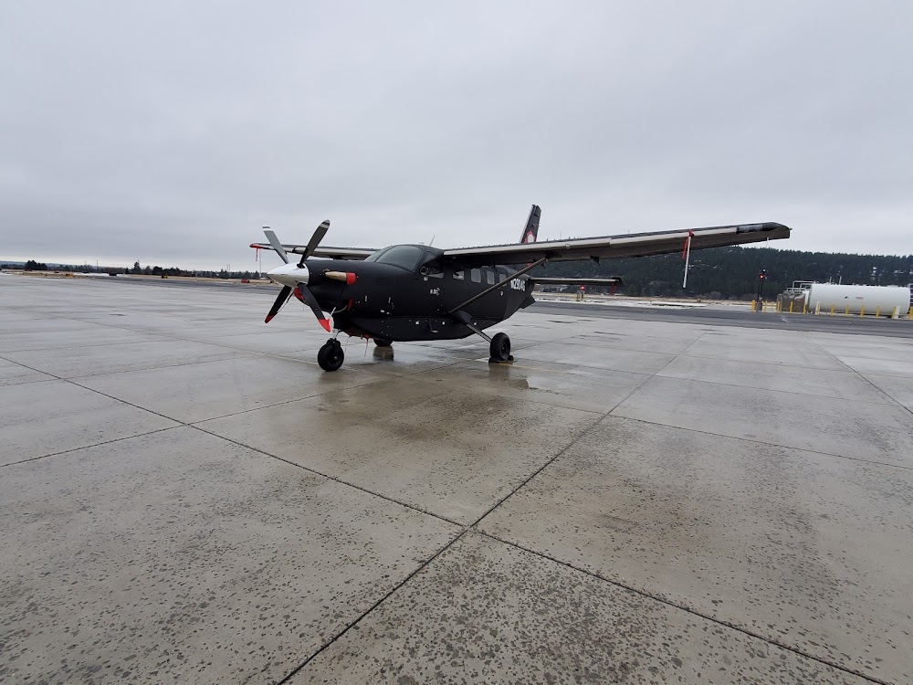
Last updated: 2025-07-08 22:03:03 PDT
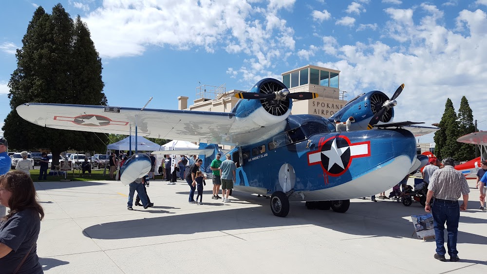
Last updated: 2025-07-08 22:03:03 PDT
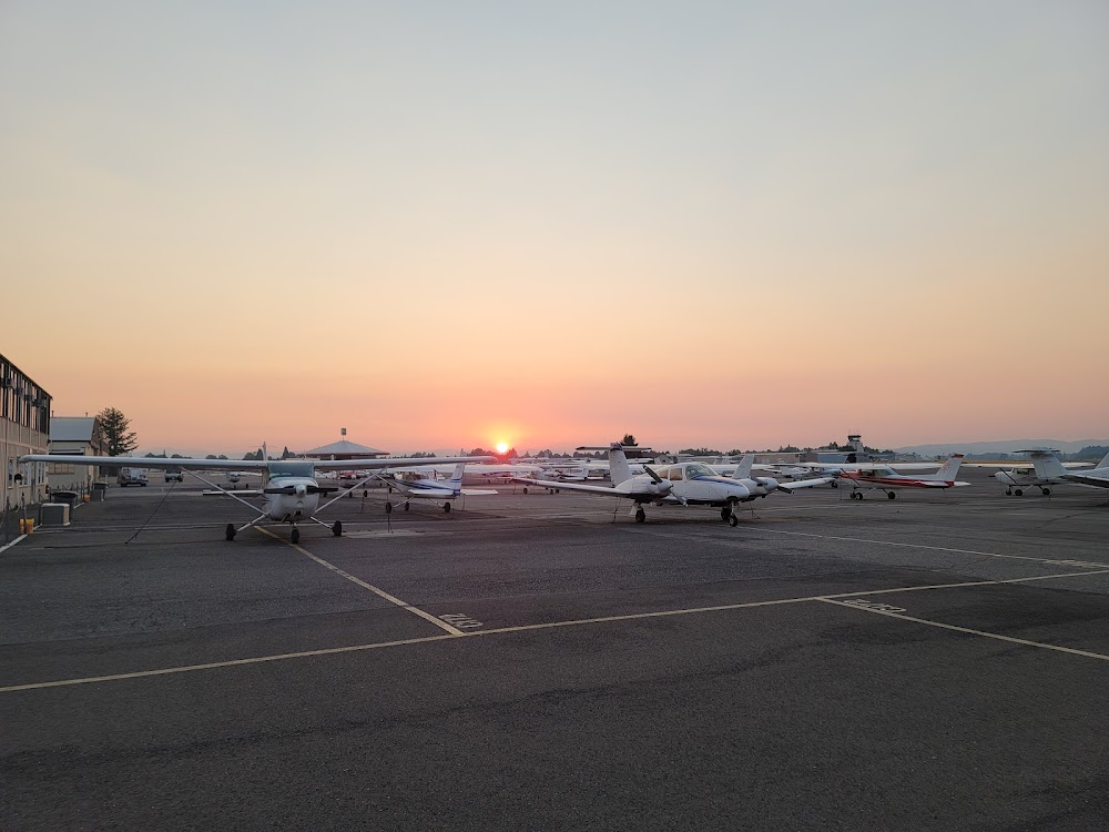
Last updated: 2025-07-08 22:03:03 PDT
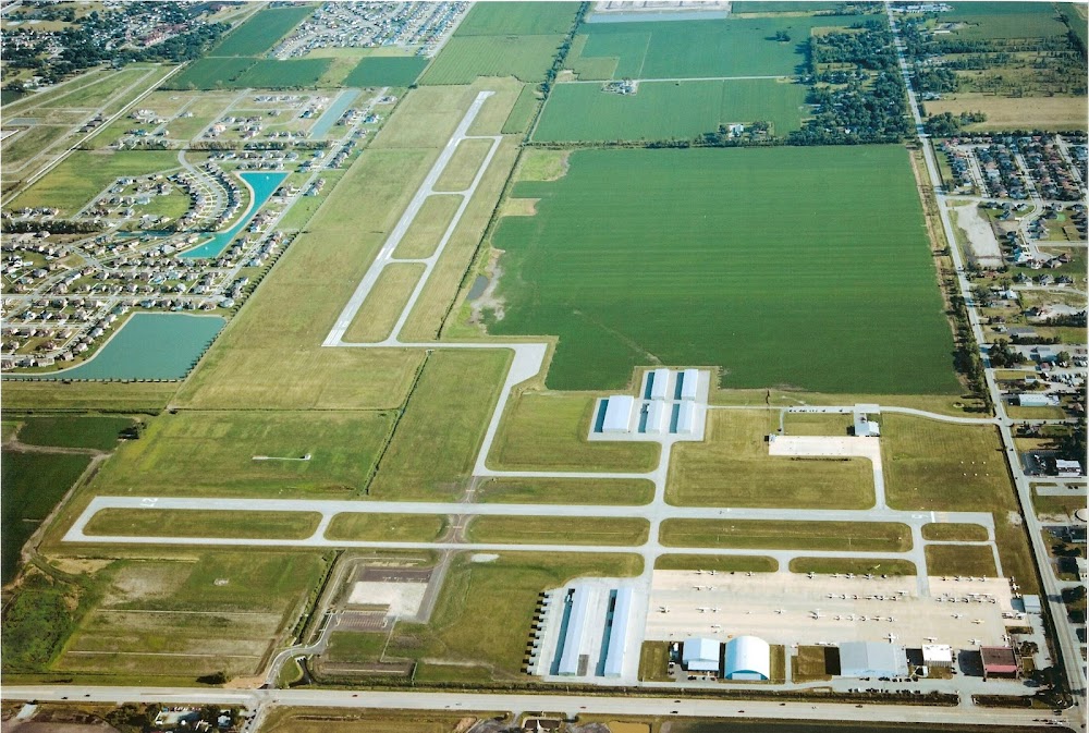
Last updated: 2024-04-09 20:38:46 PDT
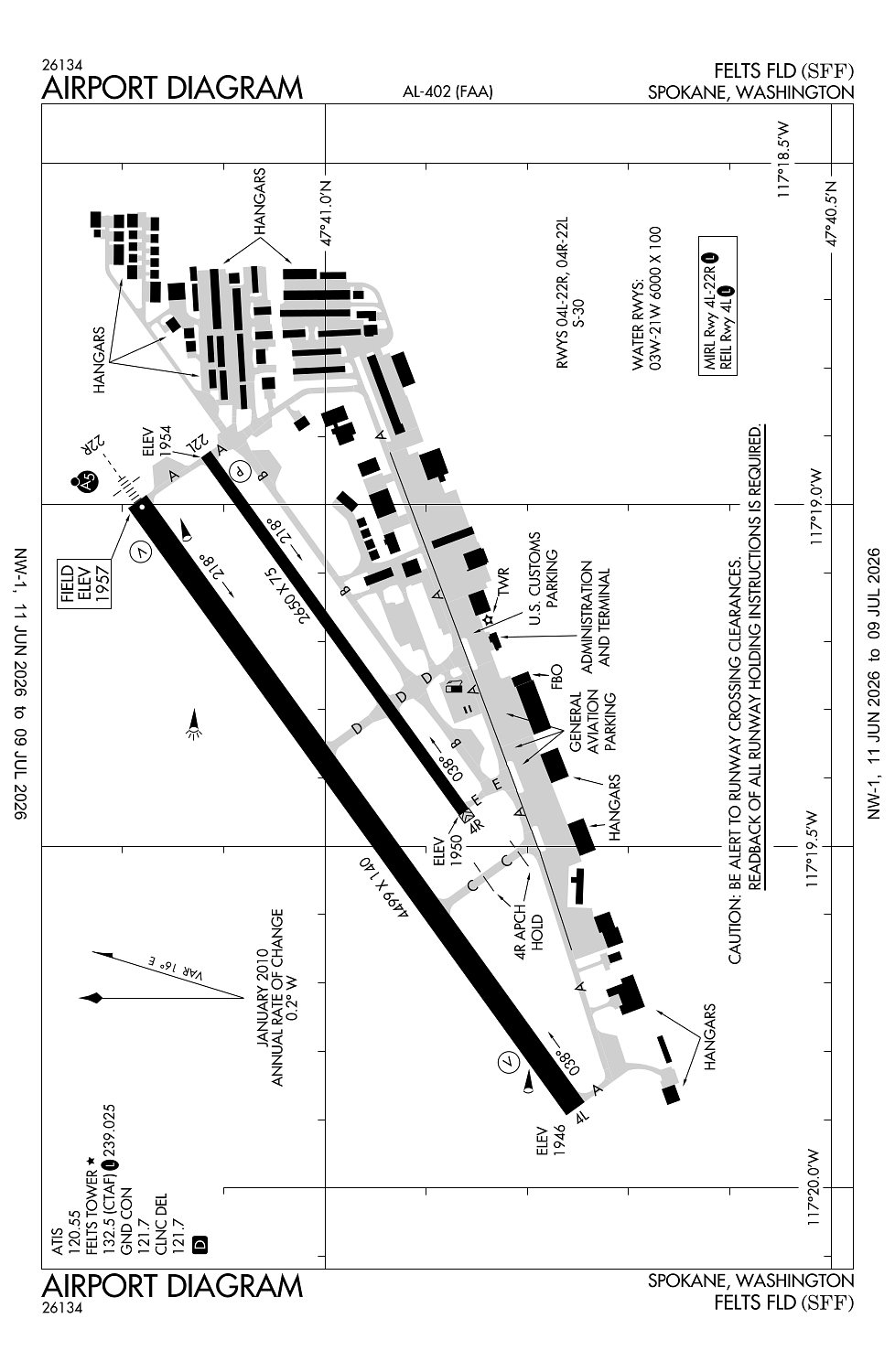
Airport Statistics
Location:
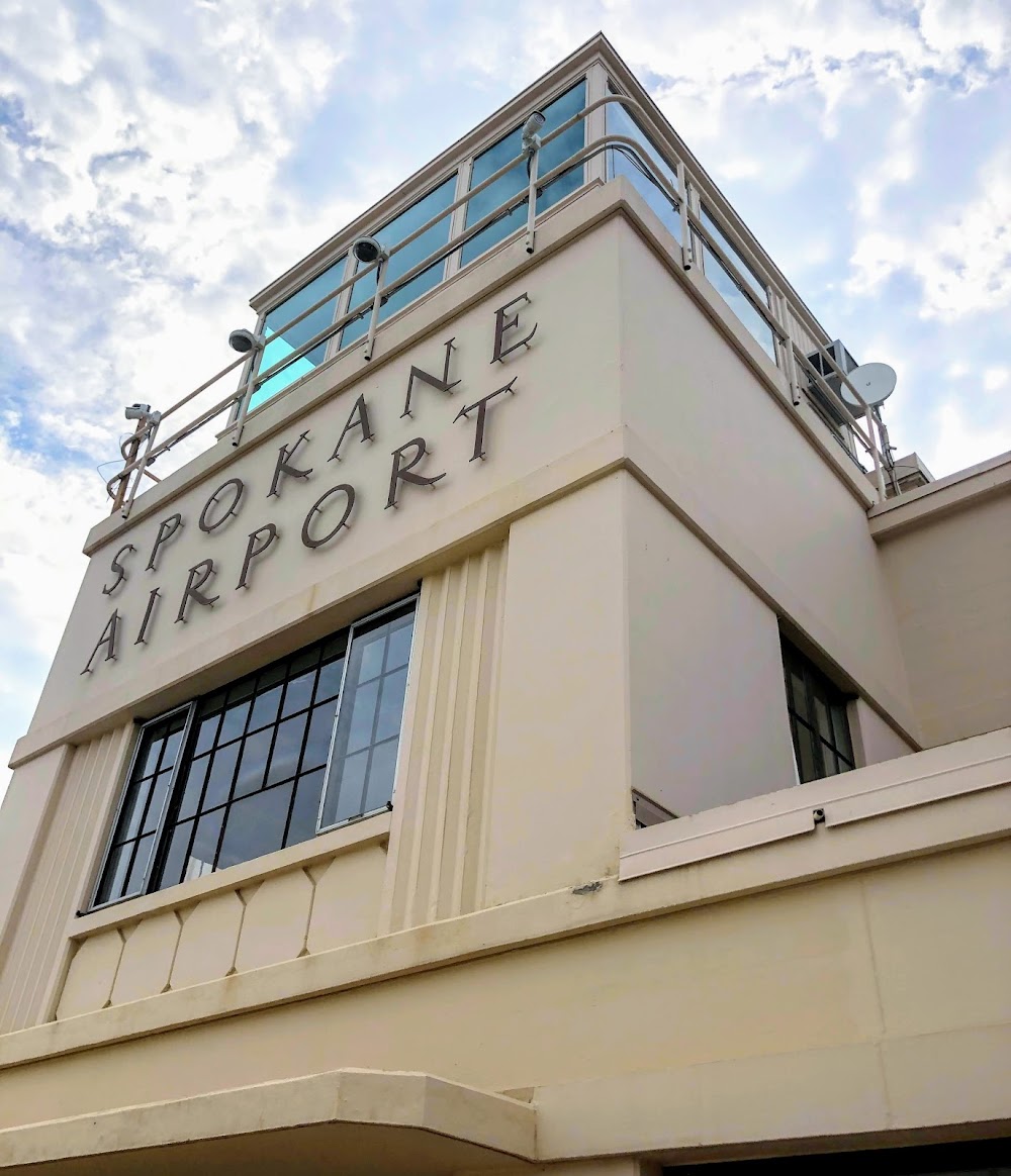
Spokane, WA
Elevation:
1,956ft
Sectional:
Seattle
Activation date:
Oct 1937
Fuel:
100LL, A1+ (prices)
Runway 03W/21W:
6,000ft
Runway 04L/22R:
4,499ft
Runway 04R/22L:
2,650ft
Access: Open to the public
Similar Airports
Current Weather — VFR
-
Weather data is strictly informational and not for flight planning purposes.
-
METAR2026-07-24 09:53:00 PDT
Ceiling: Sky clear Wind: 170° @ 5kt, gusts 16kt Temperature: 78°F Dewpoint: 55°F Weather: N/A Visbility: 10SM Raw:METAR KSFF 241653Z 17005G16KT 10SM CLR 26/13 A2995 RMK AO2 SLP122 T02610128 -
TAF2026-07-24 05:00:00 PDT – 2026-07-24 11:00:00 PDT
Ceiling: Sky clear Wind: 200° @ 7kt Weather: Smoke, haze Visbility: 6SM Clouds: Few @ 9,000ft, Few @ 25,000ft Raw:TAF KSFF 241120Z 2412/2512 20007KT 6SM FU HZ FEW090 FEW250 FM241800 22008KT P6SM SKC FM242000 23009G18KT P6SM SKC FM250300 VRB04KT P6SM SKC -
TAF2026-07-24 11:00:00 PDT – 2026-07-24 13:00:00 PDT
Ceiling: Sky clear Wind: 220° @ 8kt Weather: N/A Visbility: 6SM Clouds: @ ft Raw:TAF KSFF 241120Z 2412/2512 20007KT 6SM FU HZ FEW090 FEW250 FM241800 22008KT P6SM SKC FM242000 23009G18KT P6SM SKC FM250300 VRB04KT P6SM SKC -
TAF2026-07-24 13:00:00 PDT – 2026-07-24 20:00:00 PDT
Ceiling: Sky clear Wind: 230° @ 9kt, gusts 18kt Weather: N/A Visbility: 6SM Clouds: @ ft Raw:TAF KSFF 241120Z 2412/2512 20007KT 6SM FU HZ FEW090 FEW250 FM241800 22008KT P6SM SKC FM242000 23009G18KT P6SM SKC FM250300 VRB04KT P6SM SKC -
TAF2026-07-24 20:00:00 PDT – 2026-07-25 05:00:00 PDT
Ceiling: Sky clear Wind: Variable Weather: N/A Visbility: 6SM Clouds: @ ft Raw:TAF KSFF 241120Z 2412/2512 20007KT 6SM FU HZ FEW090 FEW250 FM241800 22008KT P6SM SKC FM242000 23009G18KT P6SM SKC FM250300 VRB04KT P6SM SKC
Click/tap to add an annotation marker to the map
Remarks
- Constructed prior to may 1959.
- <bird hazard--see special notice for washington in aim part 3a.
- Twr unable to prvd atc svc on perimeter twy due to movement of uncontrolled ground tfc.
- Extensive boating in area of water ry.
- Water lvl on river may be lwrd by corps of engr. water area adj to arpt not ctld or mntnd by arpt. waterway elev 1910 estd.
Comments