Pirep is a free, collaborative database of all public and private airports. All pilots are welcome to contribute their local knowledge to any airport, no registration required.


No upcoming events. Is anything happening here soon?
Last updated: 2024-03-13 18:22:30 PDT
Airport Statistics
- Landing & tie-down fees
- Fuel pump location
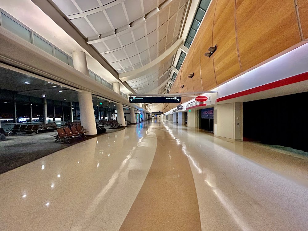
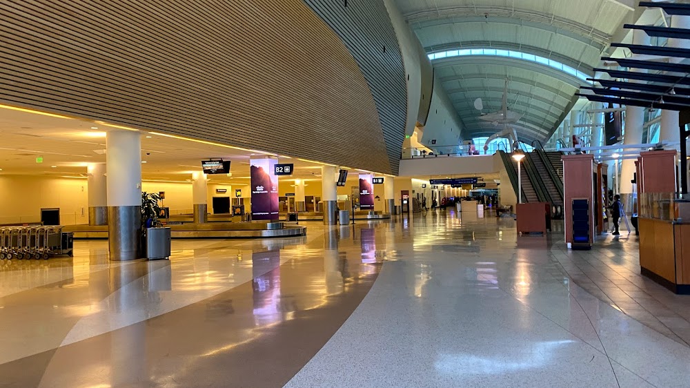
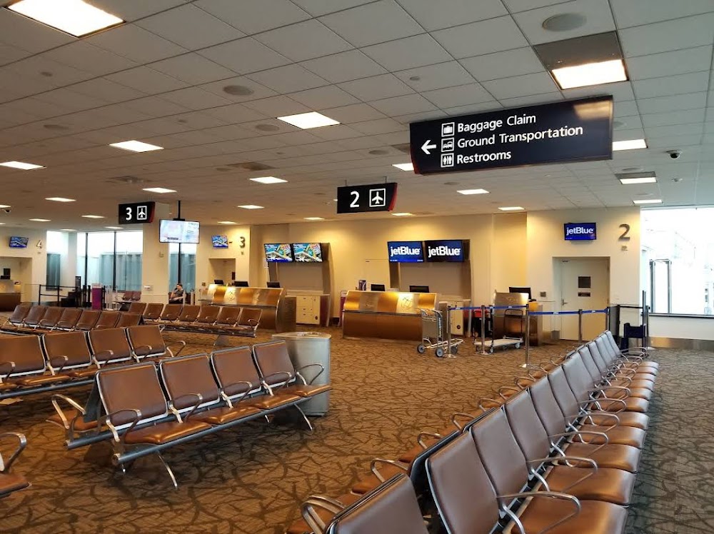
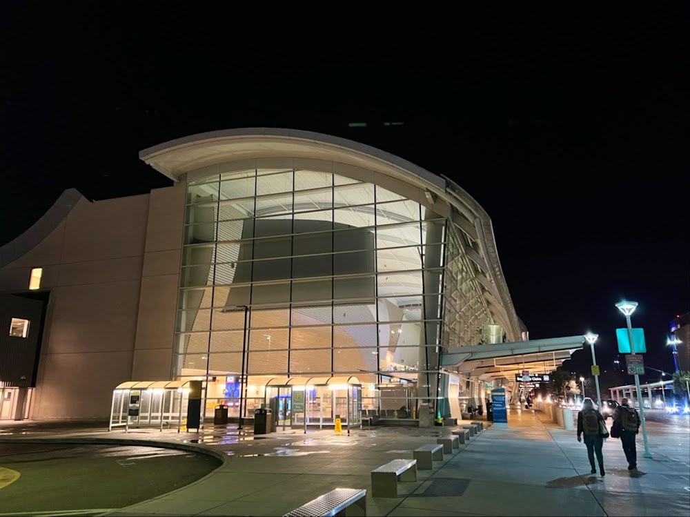
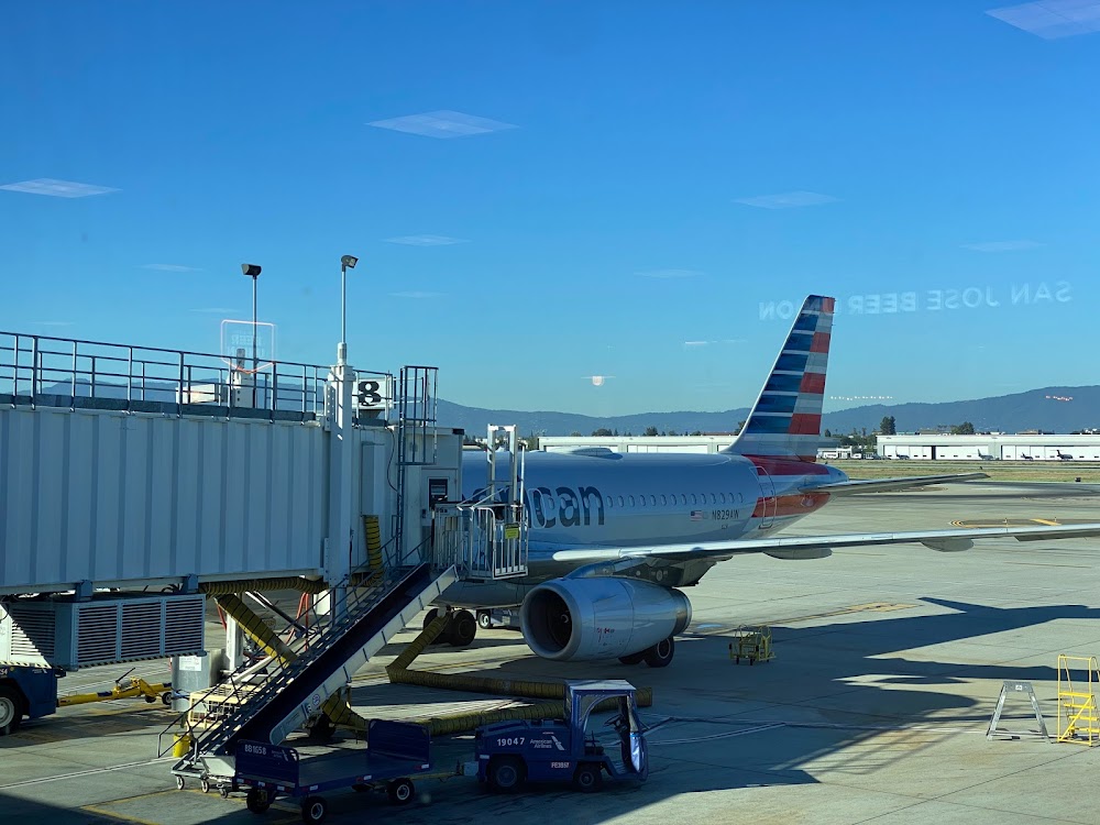
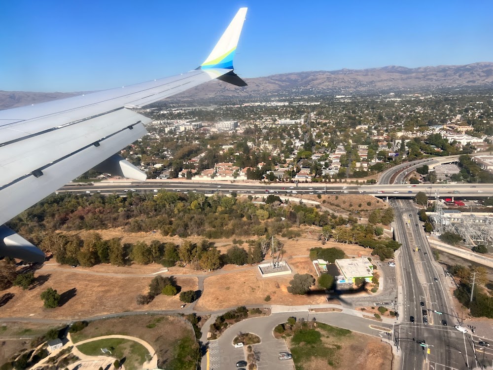
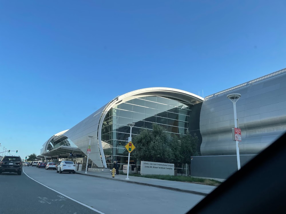
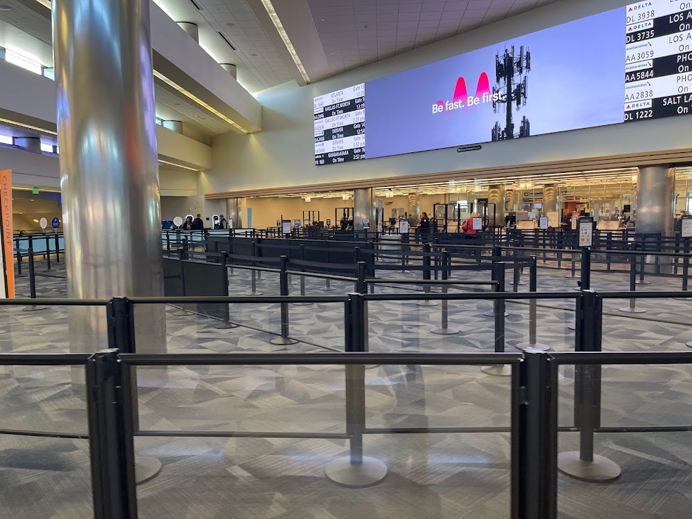
- Airport photos
Location:
San Jose, CA
Elevation:
62ft
Sectional:
San Francisco
Activation date:
Feb 1946
Fuel:
100LL, A (prices)
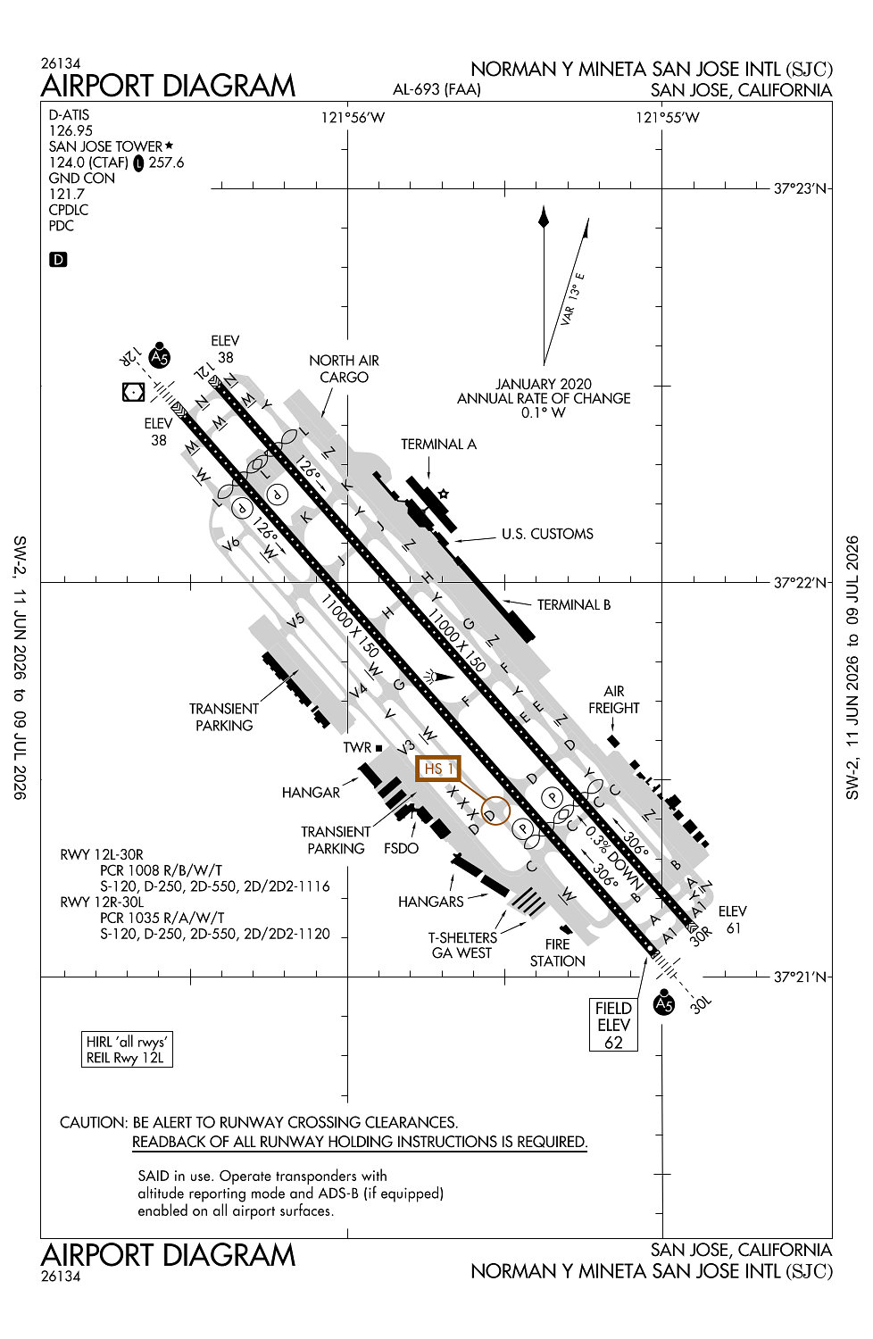
Runway 12L/30R:
11,000ft
Runway 12R/30L:
11,000ft
Access: Open to the public
Similar Airports
Current Weather — VFR
-
Weather data is strictly informational and not for flight planning purposes.
-
METAR2026-07-24 09:53:00 PDT
Ceiling: Sky clear Wind: 340° @ 8kt Temperature: 68°F Dewpoint: 55°F Weather: N/A Visbility: 10SM Clouds: Few @ 1,400ft, Few @ 11,000ft Raw:METAR KSJC 241653Z 34008KT 10SM FEW014 FEW110 20/13 A3001 RMK AO2 SLP160 T02000128 -
TAF2026-07-24 11:00:00 PDT – 2026-07-24 14:00:00 PDT
Ceiling: Sky clear Wind: 330° @ 7kt Weather: N/A Visbility: 6SM Clouds: Few @ 1,500ft Raw:TAF KSJC 241728Z 2418/2518 33007KT P6SM FEW015 FM242100 33016KT P6SM SKC FM250500 33005KT P6SM SKC -
TAF2026-07-24 14:00:00 PDT – 2026-07-24 22:00:00 PDT
Ceiling: Sky clear Wind: 330° @ 16kt Weather: N/A Visbility: 6SM Clouds: @ ft Raw:TAF KSJC 241728Z 2418/2518 33007KT P6SM FEW015 FM242100 33016KT P6SM SKC FM250500 33005KT P6SM SKC -
TAF2026-07-24 22:00:00 PDT – 2026-07-25 11:00:00 PDT
Ceiling: Sky clear Wind: 330° @ 5kt Weather: N/A Visbility: 6SM Clouds: @ ft Raw:TAF KSJC 241728Z 2418/2518 33007KT P6SM FEW015 FM242100 33016KT P6SM SKC FM250500 33005KT P6SM SKC
Click/tap to add an annotation marker to the map
No webcams added yet.
Remarks
- Birds frequently on or in vicinity of airport.
- Twy y will be periodically rstrd to acft with a wingspan of less than 171 ft (md-11 or smaller) drg b-787 and b-747 opns on rwy 12l/30r.
- Twy z will be periodically rstrd to acft with a wingspan of less than 118 ft (b-737-900 or smaller) drg b-787 and b-747 opns. twy z btn 200 ft nw of twy h and 200 ft nw of twy k ltd to acft with wingspan of less than 135 ft (b-757-300 or smaller).
- Twy v ltd to acft with wingspan of less than 118 ft (b-737-900 or smaller).
- Unscheduled opns by group 5 acft (b747) and larger not auth except with prior arpt approval ctc amgr (408) 392-3500.
Comments