Pirep is a free, collaborative database of all public and private airports. All pilots are welcome to contribute their local knowledge to any airport, no registration required.
No upcoming events. Is anything happening here soon?
Last updated: 2023-05-25 03:07:52 EDT
Airport Statistics
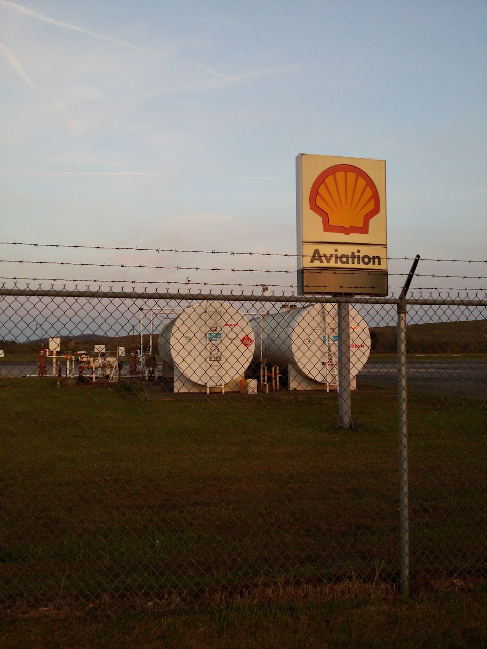
- Fuel pump location
- Crew car availability
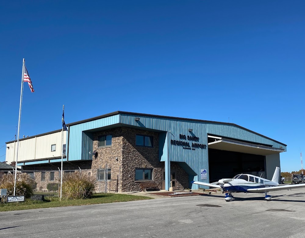
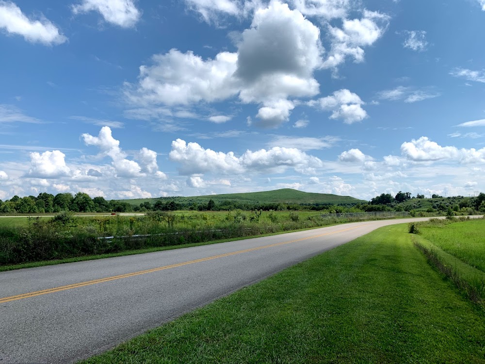
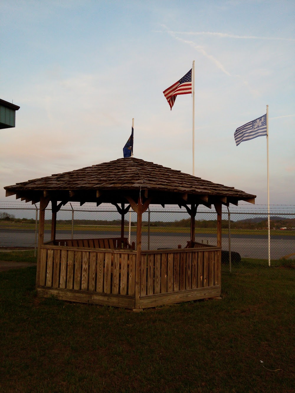
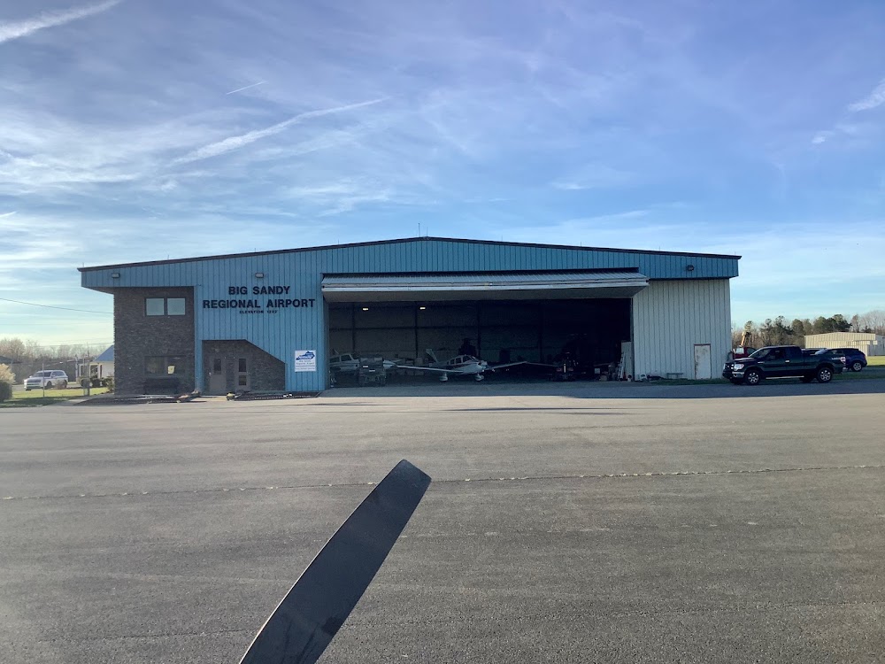
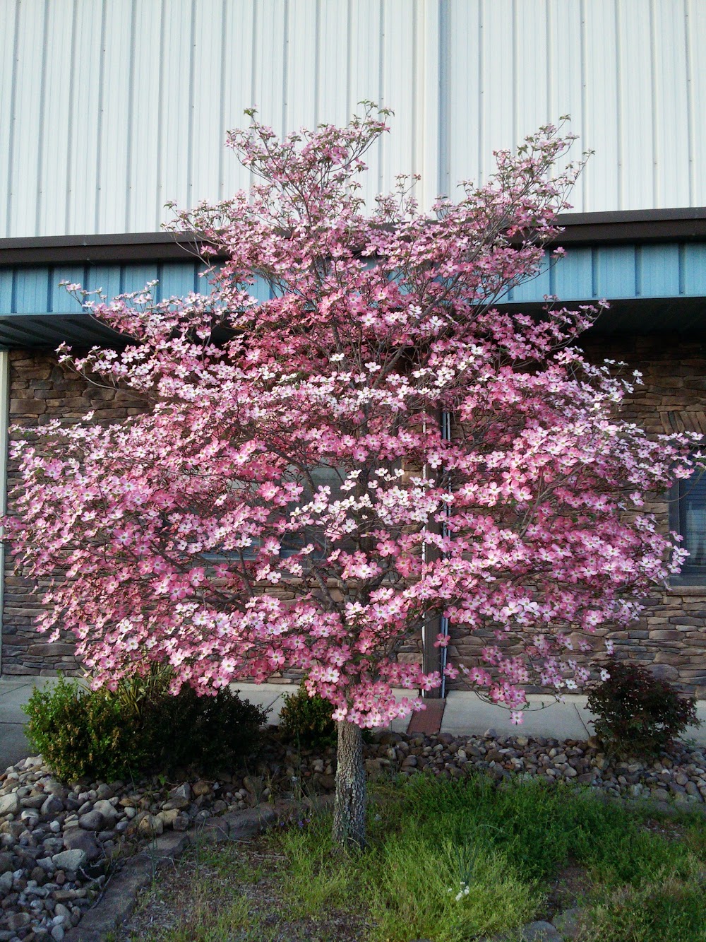
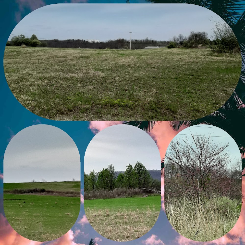
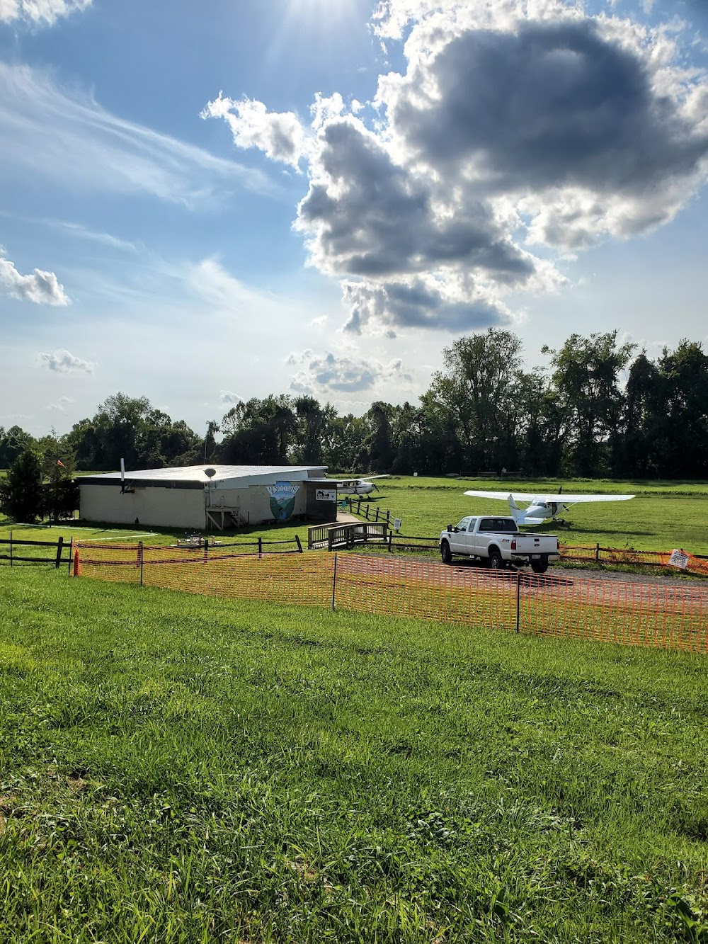
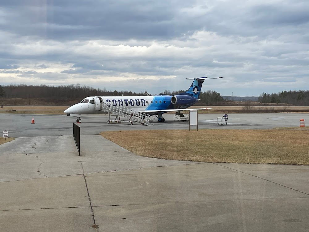
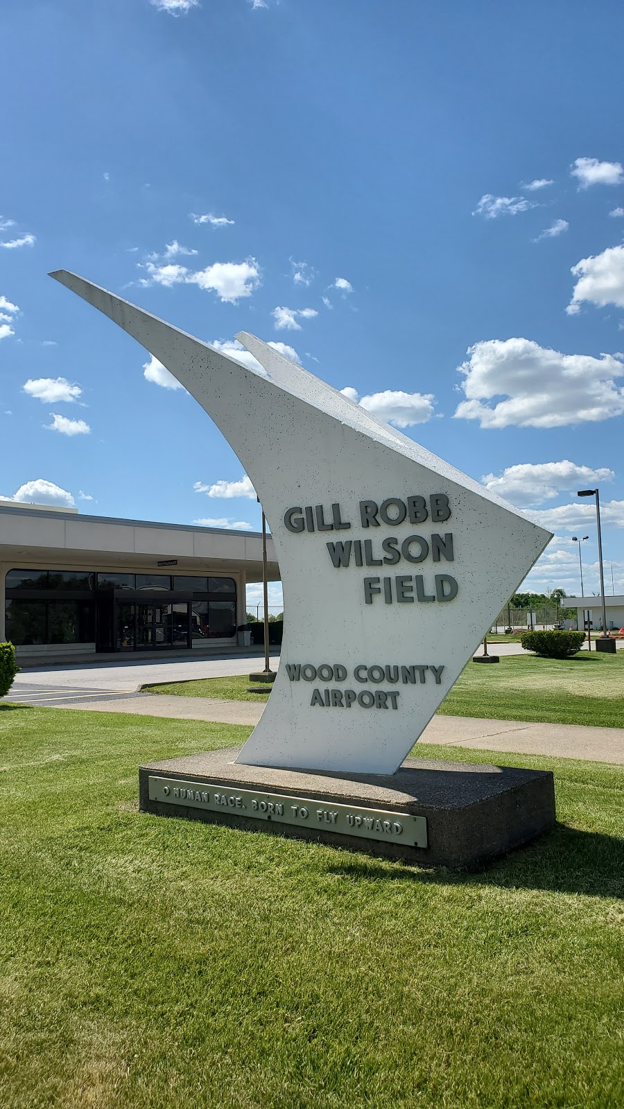
- Airport photos
Location:
Prestonsburg, KY
Elevation:
1,221ft
Sectional:
Cincinnati
Activation date:
Apr 1986
Fuel:
100LL, A+ (prices)
Runway 03/21:
5,051ft
Access: Open to the public
Similar Airports
Current Weather — VFR
-
Weather data is strictly informational and not for flight planning purposes.
-
METAR2026-07-16 14:15:00 EDT
Ceiling: 4,200ft Wind: Calm Temperature: 86°F Dewpoint: 68°F Weather: N/A Visbility: 10SM Clouds: Broken @ 4,200ft, Broken @ 4,800ft, Broken @ 5,000ft Raw:METAR KSJS 161815Z AUTO 00000KT 10SM BKN042 BKN048 BKN050 30/21 A3011 RMK AO2 T03000205 -
TAF2026-07-16 14:00:00 EDT – 2026-07-16 23:00:00 EDT
Ceiling: Sky clear Wind: Variable Weather: N/A Visbility: 6SM Clouds: Scattered @ 4,000ft Raw:TAF KSJS 161745Z 1618/1718 VRB03KT P6SM SCT040 FM170300 00000KT P6SM FEW200 TEMPO 1709/1712 5SM BR SCT010 FM171300 23002KT P6SM SCT080 -
TAF2026-07-16 23:00:00 EDT – 2026-07-17 09:00:00 EDT
Ceiling: Sky clear Wind: Calm Weather: N/A Visbility: 6SM Clouds: Few @ 20,000ft Raw:TAF KSJS 161745Z 1618/1718 VRB03KT P6SM SCT040 FM170300 00000KT P6SM FEW200 TEMPO 1709/1712 5SM BR SCT010 FM171300 23002KT P6SM SCT080 -
TAF2026-07-17 05:00:00 EDT – 2026-07-17 08:00:00 EDT
Ceiling: Sky clear Wind: 000° @ kt Weather: Mist Visbility: 5SM Clouds: Scattered @ 1,000ft Raw:TAF KSJS 161745Z 1618/1718 VRB03KT P6SM SCT040 FM170300 00000KT P6SM FEW200 TEMPO 1709/1712 5SM BR SCT010 FM171300 23002KT P6SM SCT080 -
TAF2026-07-17 09:00:00 EDT – 2026-07-17 14:00:00 EDT
Ceiling: Sky clear Wind: 230° @ 2kt Weather: N/A Visbility: 6SM Clouds: Scattered @ 8,000ft Raw:TAF KSJS 161745Z 1618/1718 VRB03KT P6SM SCT040 FM170300 00000KT P6SM FEW200 TEMPO 1709/1712 5SM BR SCT010 FM171300 23002KT P6SM SCT080
Click/tap to add an annotation marker to the map
No webcams added yet.
Remarks
- Birds & deer on & invof arpt.
- For cd ctc huntington atct at 304-453-2490.
- Actvt reil rwy 03 & 21; mirl rwy 03/21 - ctaf. papi rwy 03 & 21 opr consly.
- Aft hrs svc 606-371-3793. landline tsfr to gary's cell.
- Papi unusbl byd 6 degs right of cntrln.
- Arpt board chairman. jerry price
Comments