Pirep is a free, collaborative database of all public and private airports. All pilots are welcome to contribute their local knowledge to any airport, no registration required.
No upcoming events. Is anything happening here soon?
Last updated: 2024-03-26 18:59:33 AKDT
Airport Statistics
- Crew car availability
- Transient parking location
- WiFi availability
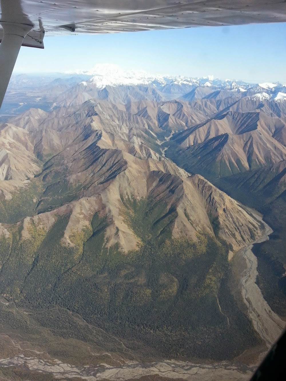
Location:
Skwentna, AK
Elevation:
148ft
Sectional:
Anchorage
Activation date:
May 1949
Fuel:
None
Runway 10/28:
3,400ft
Access: Open to the public
Similar Airports

Click/tap to add an annotation marker to the map
Remarks
- Actvt rotg bcn - ctaf.
- Two 100 ft twrs 1.5 nm w. soft durg spring.
- Rwy cond unmnt; rcmd visual insp bfr lndg.
- Wx camera avbl on internet at https://weathercams.faa.gov.
- Atv road crosses rwy 10, 900 ft fm thr.
- Actvt mirl rwy 10/28; windsock - ctaf.
- 200 ft path cut thru trees apch end.
- Reflective cones; thrs reflective panels.
Comments