Pirep is a free, collaborative database of all public and private airports. All pilots are welcome to contribute their local knowledge to any airport, no registration required.
Attribution:
Brian Sorrentino
Attribution:
Joy Hoschek

Attribution:
kahoma Baloa
Attribution:
Michael Sciarra
Attribution:
TeresaL siu
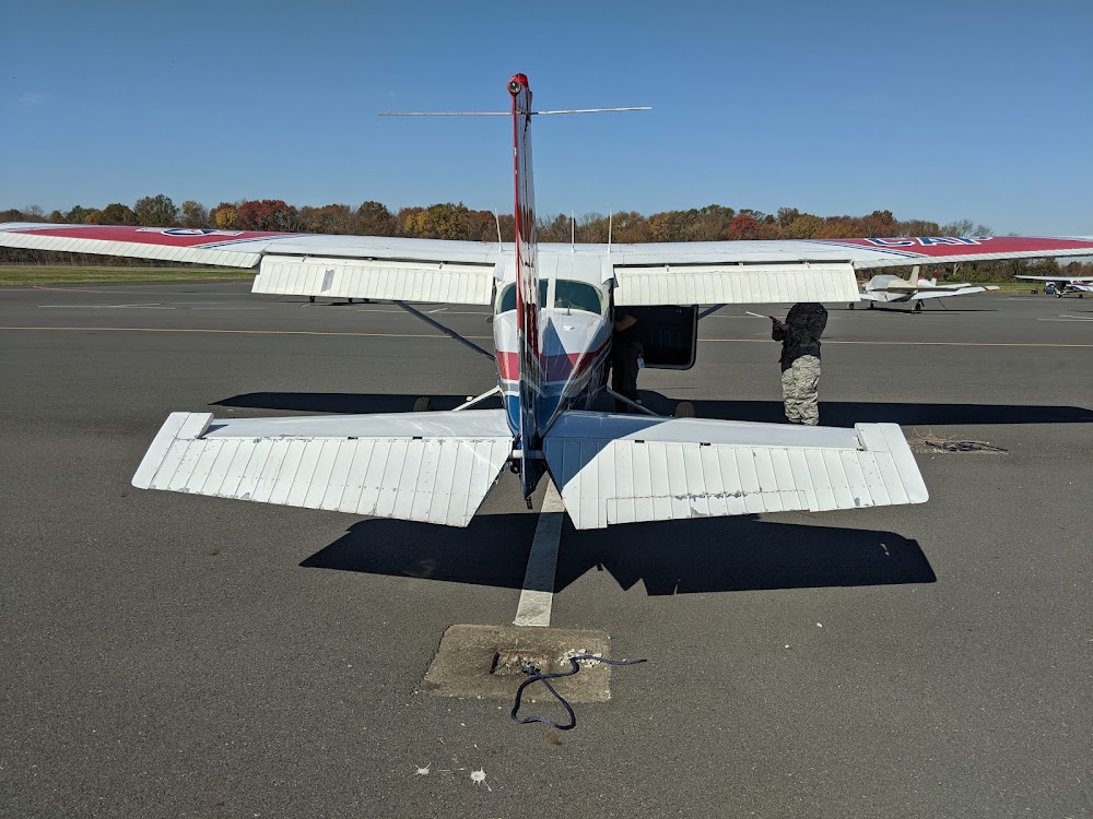
Attribution:
Joy Hoschek
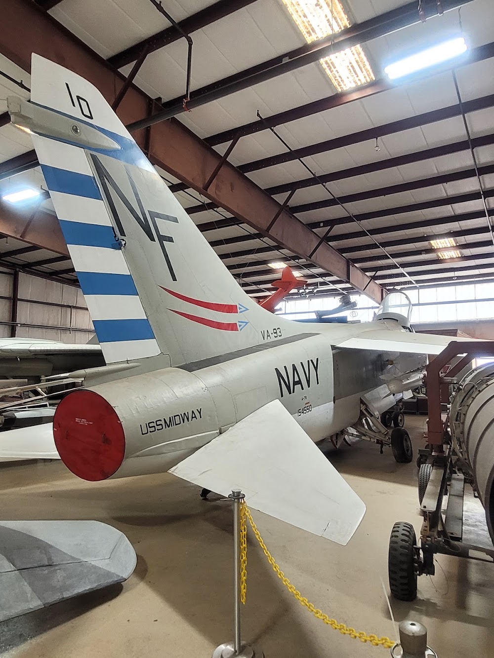
Attribution:
Brian Sorrentino
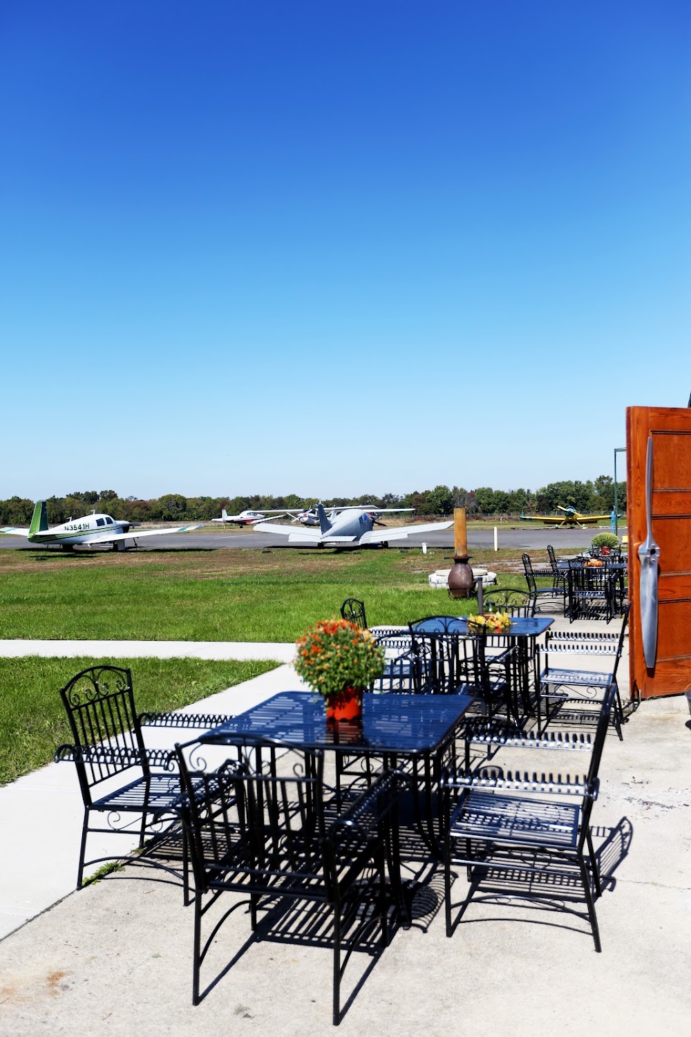
Attribution:
Michael Sciarra
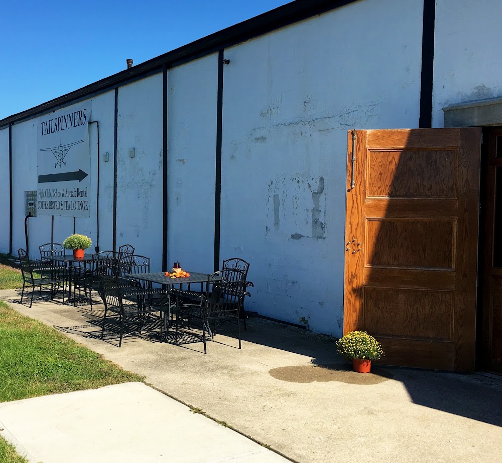
Attribution:
Michael Sciarra
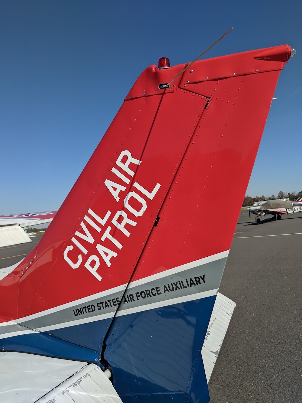
Attribution:
Joy Hoschek
No upcoming events. Is anything happening here soon?
Last updated: 2023-06-10 13:40:28 EDT
Airport Statistics
- Fuel pump location
- Airport photos
- Crew car availability
Location:
Mount Holly, NJ
Elevation:
52ft
Sectional:
Washington
Activation date:
Jan 1956
Fuel:
100LL, A
Runway 08/26:
3,881ft
Access: Open to the public
Similar Airports

Current Weather — VFR
-
Weather data is strictly informational and not for flight planning purposes.
-
METAR2026-10-17 10:54:00 EDT
Ceiling: Sky clear Wind: 010° @ 14kt, gusts 22kt Temperature: 50°F Dewpoint: 35°F Weather: N/A Visbility: 10SM Clouds: Scattered @ 12,000ft Raw:METAR KVAY 171454Z AUTO 01014G22KT 10SM SCT120 10/02 A3016 RMK AO2 SLP213 T01000022 51029 $
Click/tap to add an annotation marker to the map
No webcams added yet.
Remarks
- Trees along sides of ry primarily nw.
- Balls mkg plines on aph to ry 08 faded.
- Deer on & invof arpt.
- Helicopter takeoffs and landings restricted to ry 08/26 only.
- Gco avbl on freq 121.725 thru mcguire app cont.
- Parallel taxiway non-standard width, 18 ft asp.
- Avoid overflying housing area wnw of arpt below 300 ft when in the traffic pattern for rwy 8.
- For cd ctc mc guire apch at 609-754-2767.
Comments