Pirep is a free, collaborative database of all public and private airports. All pilots are welcome to contribute their local knowledge to any airport, no registration required.
No upcoming events. Is anything happening here soon?
Last updated: 2023-06-15 23:32:53 CDT
Airport Statistics
- Local flying clubs
- Webcam links
- Fuel pump location
Location:
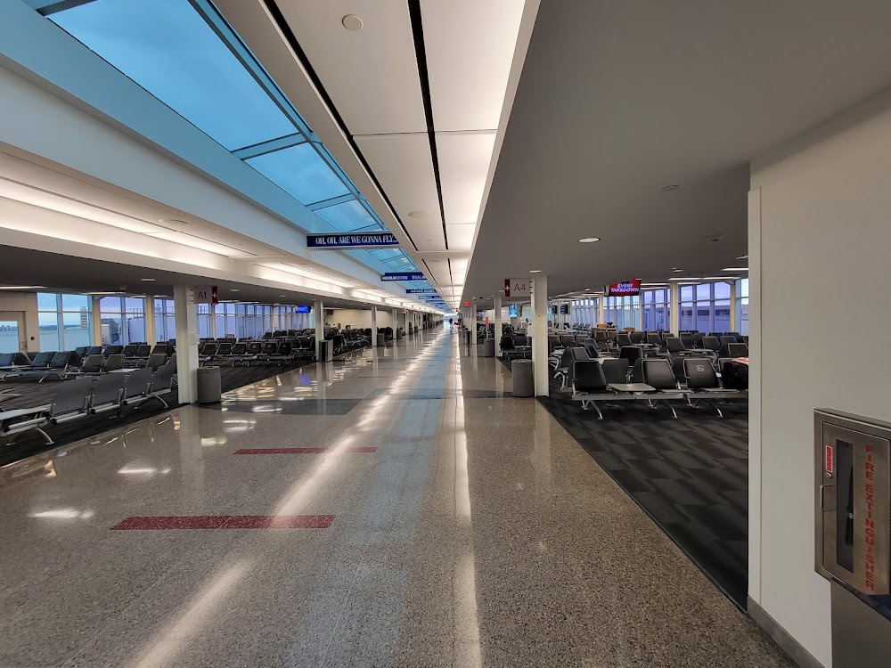
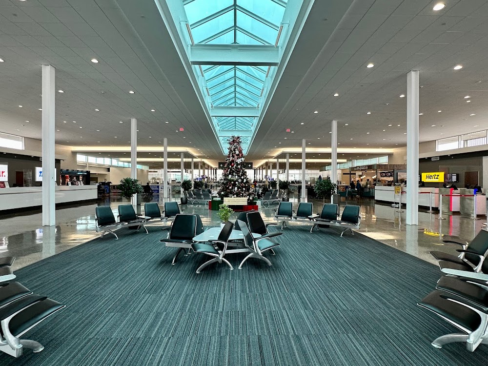
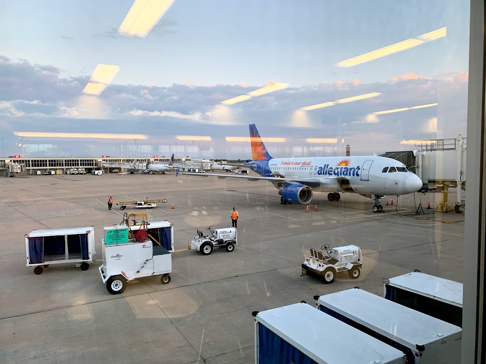
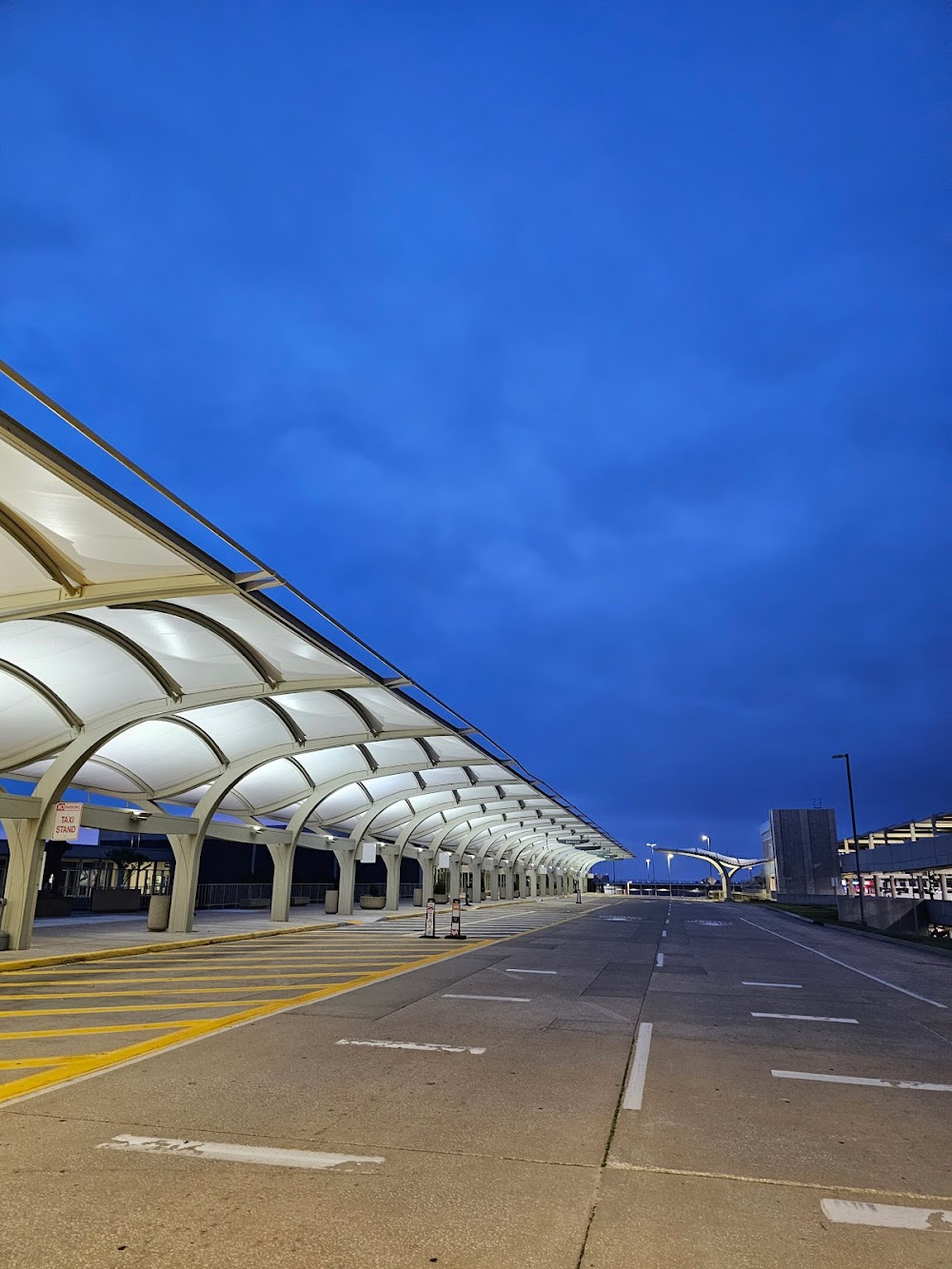
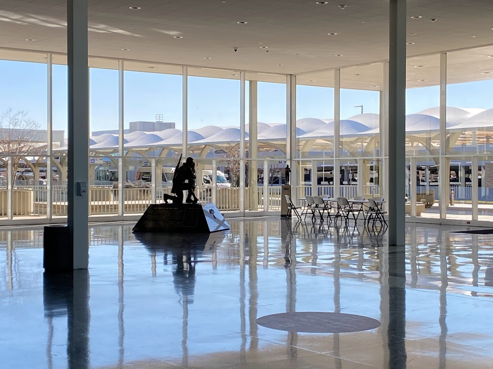
Tulsa, OK
Elevation:
677ft
Sectional:
Kansas City
Activation date:
Aug 1942
Fuel:
100LL, A (prices)
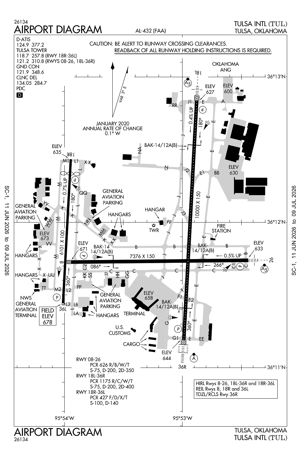
Runway 18L/36R:
10,000ft
Runway 08/26:
7,376ft
Runway 18R/36L:
6,101ft
Access: Open to the public
Similar Airports
Current Weather — VFR
-
Weather data is strictly informational and not for flight planning purposes.
-
METAR2026-06-27 20:53:00 CDT
Ceiling: Sky clear Wind: 170° @ 14kt, gusts 21kt Temperature: 87°F Dewpoint: 73°F Weather: N/A Visbility: 10SM Clouds: Scattered @ 25,000ft Raw:METAR KTUL 280153Z 17014G21KT 10SM SCT250 31/23 A2979 RMK AO2 SLP077 T03060228 -
TAF2026-06-27 19:00:00 CDT – 2026-06-27 21:00:00 CDT
Ceiling: Sky clear Wind: 170° @ 15kt, gusts 25kt Weather: N/A Visbility: 6SM Clouds: Few @ 4,500ft, Scattered @ 25,000ft Raw:TAF KTUL 272335Z 2800/2824 17015G25KT P6SM FEW045 SCT250 FM280200 17013G22KT P6SM SCT250 WS020/21045KT FM281400 19017G26KT P6SM BKN250 -
TAF2026-06-27 21:00:00 CDT – 2026-06-28 09:00:00 CDT
Ceiling: Sky clear Wind: 170° @ 13kt, gusts 22kt Weather: N/A Visbility: 6SM Clouds: Scattered @ 25,000ft Raw:TAF KTUL 272335Z 2800/2824 17015G25KT P6SM FEW045 SCT250 FM280200 17013G22KT P6SM SCT250 WS020/21045KT FM281400 19017G26KT P6SM BKN250 -
TAF2026-06-28 09:00:00 CDT – 2026-06-28 19:00:00 CDT
Ceiling: 25,000ft Wind: 190° @ 17kt, gusts 26kt Weather: N/A Visbility: 6SM Clouds: Broken @ 25,000ft Raw:TAF KTUL 272335Z 2800/2824 17015G25KT P6SM FEW045 SCT250 FM280200 17013G22KT P6SM SCT250 WS020/21045KT FM281400 19017G26KT P6SM BKN250
Click/tap to add an annotation marker to the map
No webcams added yet.
Remarks
- Ctn: 4000 ft blacktop track 1.5 nm e rwy 26; do not mistake for rwy.
- Wt rstrd areas: twy jj s-35; twy m2 s-81/d-140/dt-186; twy hh s-55/d-60; twy l north of rwy 08/26 s-93/d-140/dt 209; twy l btn twy c & twy l2 s-120/d-250/dt 372; twy l2 s-70/d-100/dt-166.
- Noise abatement all rwys: climb to 3000 ft asap aft tkof.
- Ireg wind pat aer 18r.
- Txls la, lb, nn & qq not vsb fm atct.
Comments