Pirep is a free, collaborative database of all public and private airports. All pilots are welcome to contribute their local knowledge to any airport, no registration required.
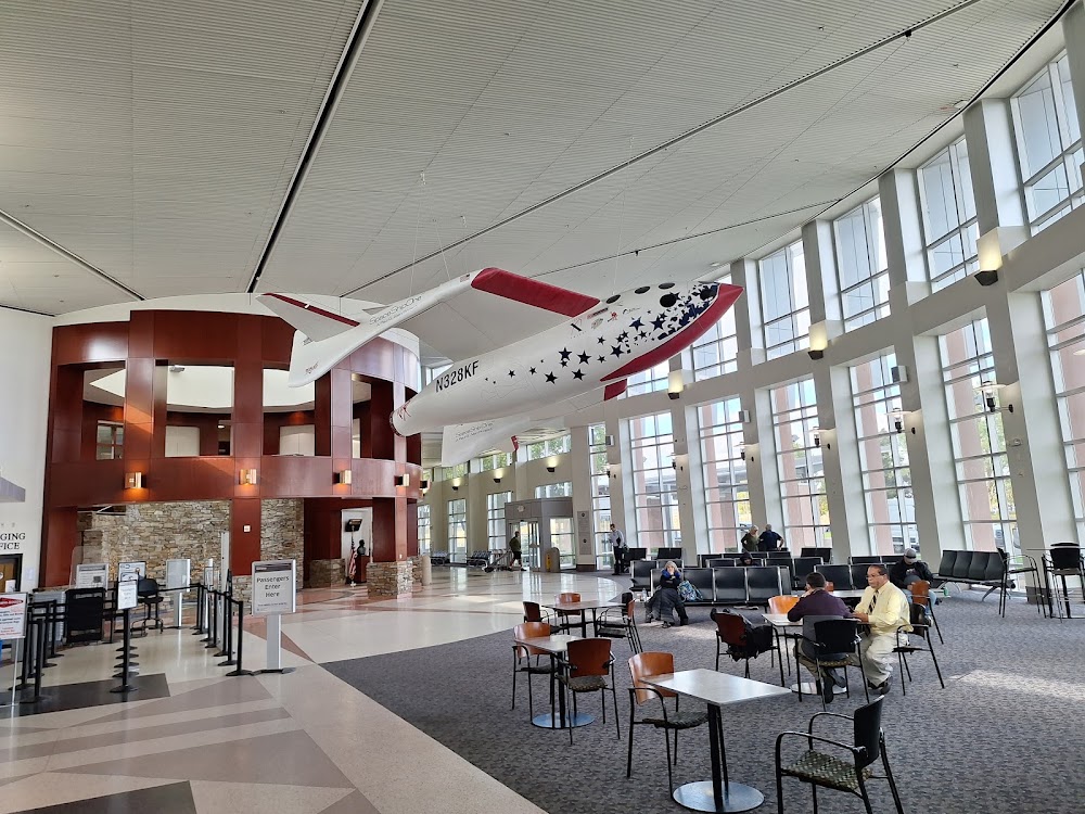
Attribution:
Peter Martin
Attribution:
Peter Martin
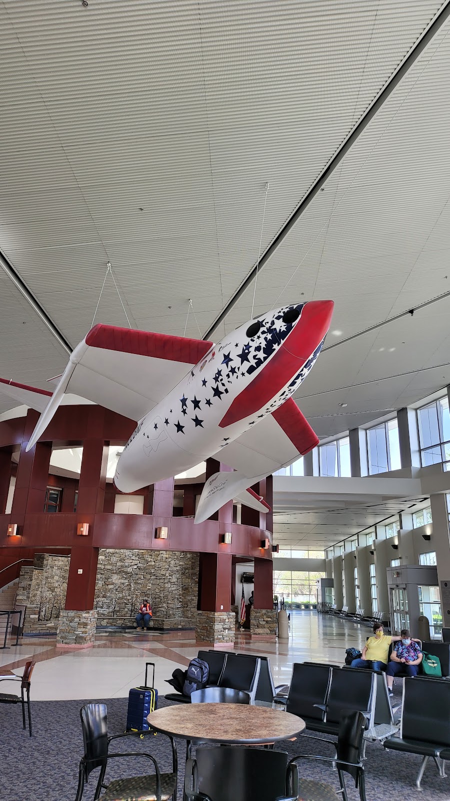
Attribution:
Chinos55
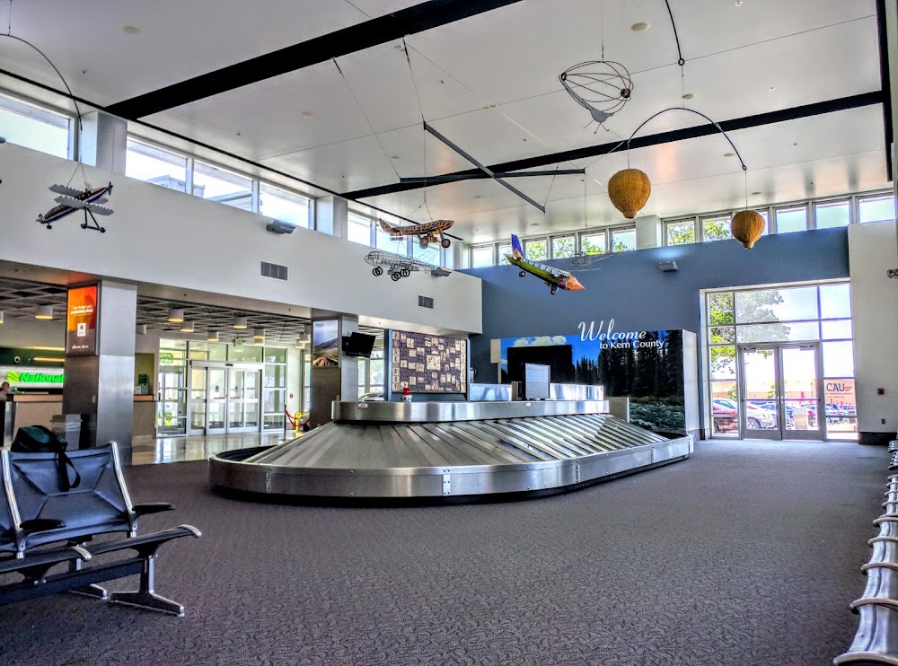
Attribution:
Albert Kopp
Attribution:
Doug Brace
Attribution:
Cheng-En Chan
Attribution:
Thomas Ketron
Attribution:
Joey Paysinger
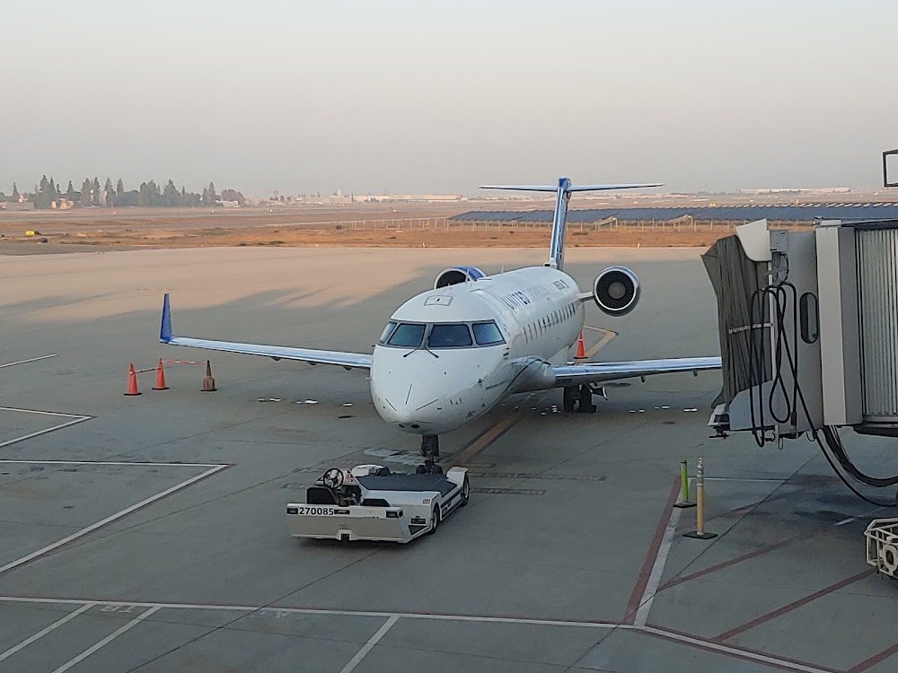
Attribution:
Bullfrog 92020
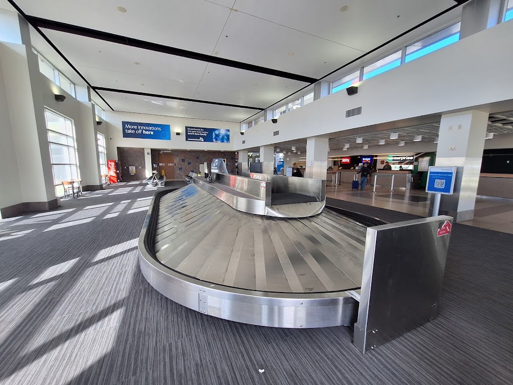
Attribution:
Peter Martin
No upcoming events. Is anything happening here soon?
Last updated: 2024-03-12 20:11:29 PDT
Airport Statistics
- Transient parking location
- General description
- Webcam links
Location:
Bakersfield, CA
Elevation:
509ft
Sectional:
Los Angeles
Activation date:
Apr 1940
Fuel:
100, 100LL, A
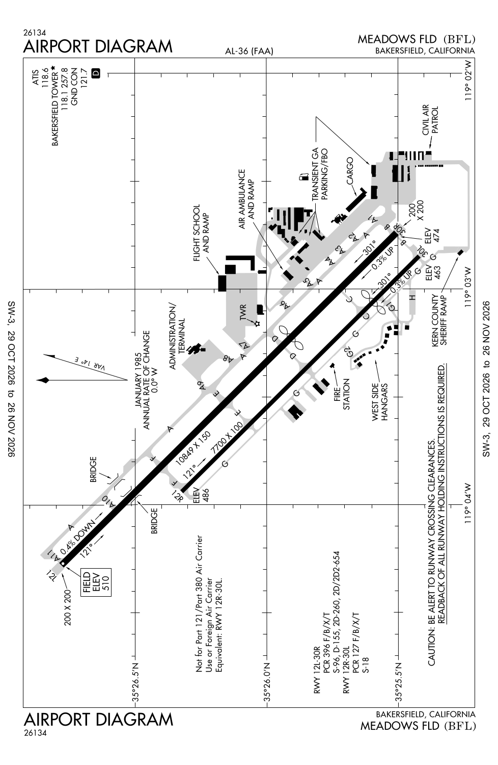
Runway 12L/30R:
10,849ft
Runway 12R/30L:
7,700ft
Access: Open to the public
Similar Airports
Current Weather — VFR
-
Weather data is strictly informational and not for flight planning purposes.
-
METAR2026-11-19 15:54:00 PST
Ceiling: 6,000ft Wind: 280° @ 14kt, gusts 21kt Temperature: 62°F Dewpoint: 42°F Weather: N/A Visbility: 10SM Clouds: Scattered @ 4,700ft, Overcast @ 6,000ft Raw:METAR KBFL 192354Z 28014G21KT 10SM SCT047 OVC060 17/06 A2991 RMK AO2 PK WND 28026/2255 SLP125 60000 T01670061 10194 20150 53018 -
TAF2026-11-19 16:00:00 PST – 2026-11-19 20:00:00 PST
Ceiling: 7,000ft Wind: 270° @ 17kt, gusts 25kt Weather: N/A Visbility: 6SM Clouds: Broken @ 7,000ft Raw:TAF KBFL 192320Z 2000/2024 27017G25KT P6SM BKN070 FM200400 34011KT P6SM -RA BKN050 FM201400 VRB03KT 5SM BR BKN250 -
TAF2026-11-19 20:00:00 PST – 2026-11-20 06:00:00 PST
Ceiling: 5,000ft Wind: 340° @ 11kt Weather: Light rain Visbility: 6SM Clouds: Broken @ 5,000ft Raw:TAF KBFL 192320Z 2000/2024 27017G25KT P6SM BKN070 FM200400 34011KT P6SM -RA BKN050 FM201400 VRB03KT 5SM BR BKN250 -
TAF2026-11-20 06:00:00 PST – 2026-11-20 16:00:00 PST
Ceiling: 25,000ft Wind: Variable Weather: Mist Visbility: 5SM Clouds: Broken @ 25,000ft Raw:TAF KBFL 192320Z 2000/2024 27017G25KT P6SM BKN070 FM200400 34011KT P6SM -RA BKN050 FM201400 VRB03KT 5SM BR BKN250
Click/tap to add an annotation marker to the map
No webcams added yet.
Remarks
- Index c arff available
- Mil helicopters make all apchs to ry or paved areas. minimize hovering & power to avoid causing blowing dust; wheeled helicopters gnd taxi only. formation join-up aft dep only.
- Cap squadron on arpt.
- Right base opns for ry 30r establish wings level on final apch no lower than 300 ft agl.
- Noise sensitive areas s & e of arpt recommended turbojet trng hrs wkday 0800-2200 wkends 1200-2200; no more than ten practice apchs per hr.
Comments