Pirep is a free, collaborative database of all public and private airports. All pilots are welcome to contribute their local knowledge to any airport, no registration required.
No upcoming events. Is anything happening here soon?
Last updated: 2023-05-24 01:11:57 EDT
Airport Statistics
- Landing & tie-down fees
- Local flying clubs
- Webcam links
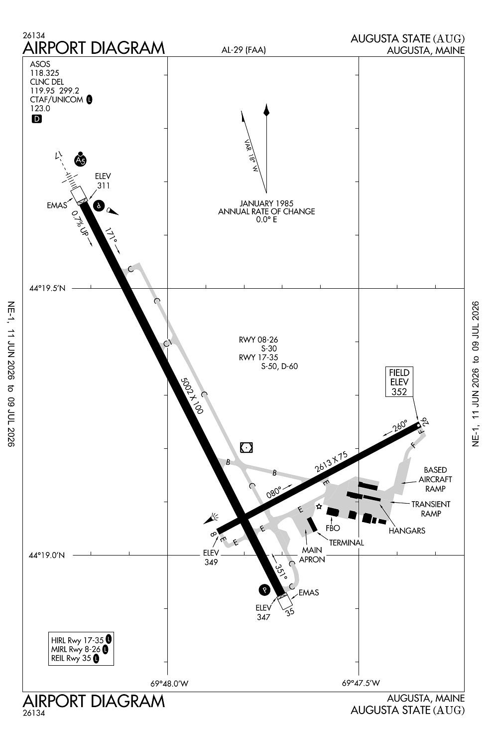
Location:
Augusta, ME
Elevation:
351ft
Sectional:
Montreal
Activation date:
Apr 1940
Fuel:
100LL, A (prices)
Runway 17/35:
5,002ft
Runway 08/26:
2,613ft
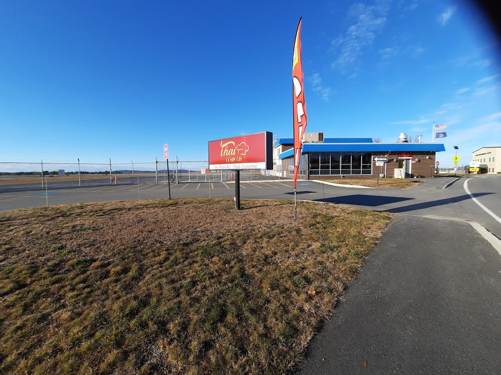
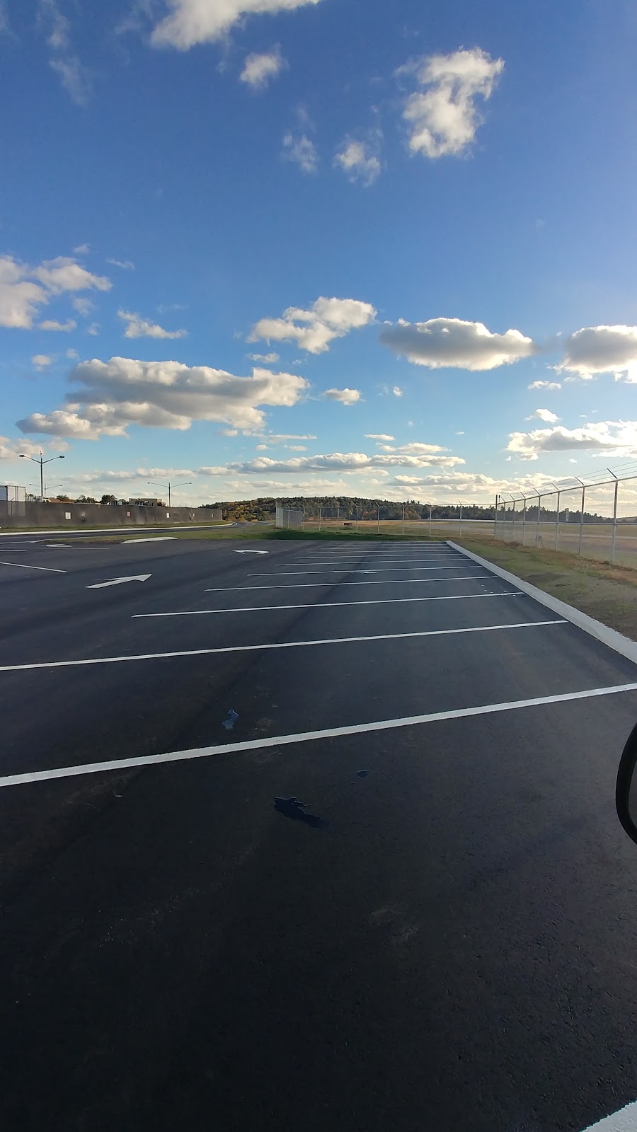
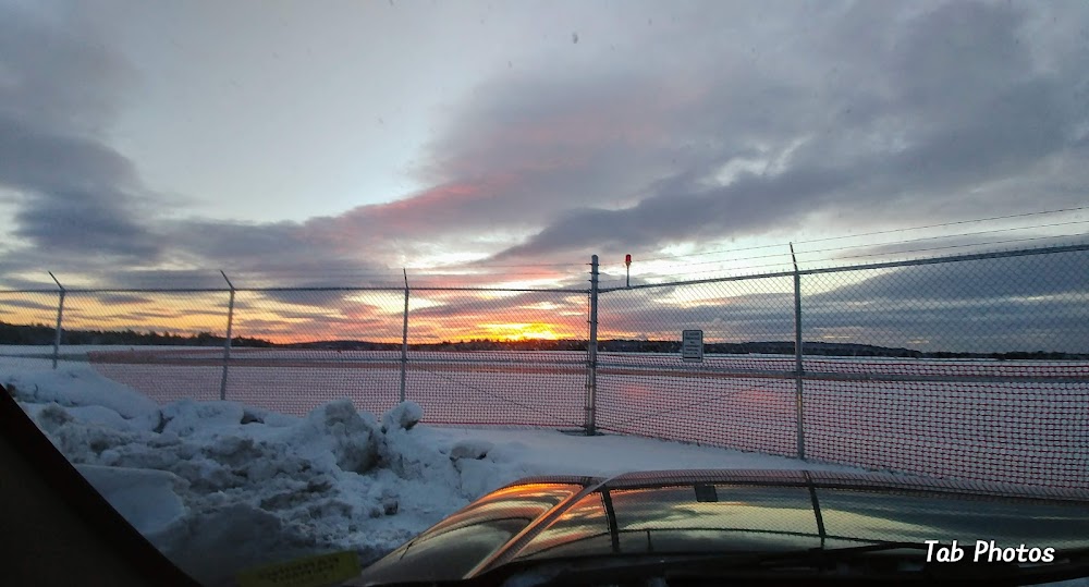
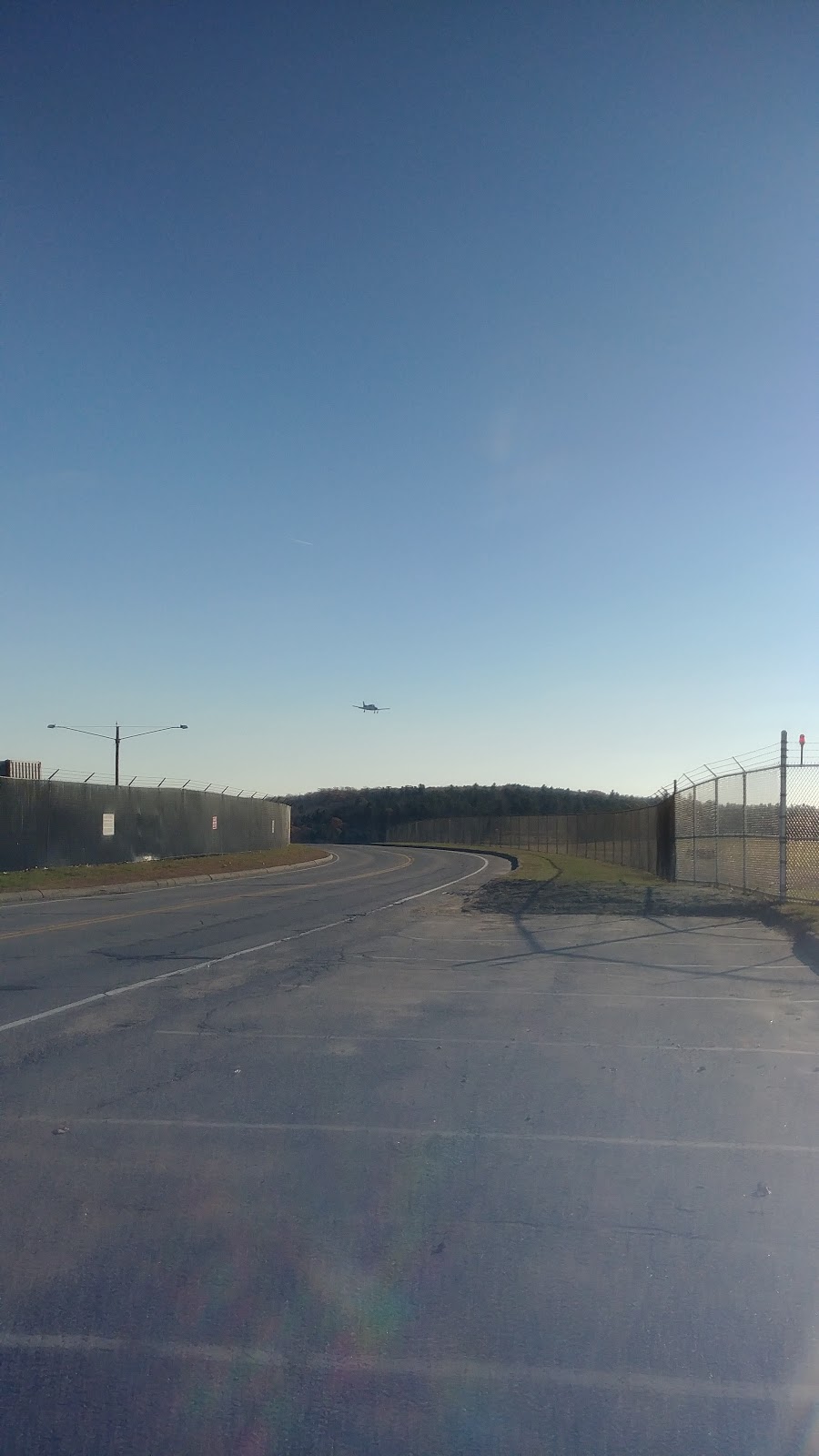
Access: Open to the public
Similar Airports

Current Weather — VFR
-
Weather data is strictly informational and not for flight planning purposes.
-
METAR2026-07-09 23:26:00 EDT
Ceiling: 7,000ft Wind: 330° @ 3kt Temperature: 69°F Dewpoint: 68°F Weather: N/A Visbility: 8SM Clouds: Broken @ 7,000ft, Broken @ 8,000ft Raw:SPECI KAUG 100326Z AUTO 33003KT 8SM BKN070 BKN080 21/20 A2977 RMK AO2 LTG DSNT NE AND E RAE13 P0003 T02060200 -
TAF2026-07-09 21:00:00 EDT – 2026-07-09 23:00:00 EDT
Ceiling: Sky clear Wind: Variable Weather: N/A Visbility: 6SM Clouds: Few @ 5,000ft, Scattered @ 7,000ft Raw:TAF KAUG 100041Z 1001/1024 VRB05KT P6SM FEW050 SCT070 TEMPO 1001/1003 4SM -TSRA BKN050CB OVC070 FM100300 33004KT P6SM BKN020 BKN070 FM101100 34008KT P6SM SCT100 -
TAF2026-07-09 21:00:00 EDT – 2026-07-09 23:00:00 EDT
Ceiling: 5,000ft Wind: 000° @ kt Weather: Light thunderstorm rain Visbility: 4SM Clouds: Broken @ 5,000ft, Overcast @ 7,000ft Raw:TAF KAUG 100041Z 1001/1024 VRB05KT P6SM FEW050 SCT070 TEMPO 1001/1003 4SM -TSRA BKN050CB OVC070 FM100300 33004KT P6SM BKN020 BKN070 FM101100 34008KT P6SM SCT100 -
TAF2026-07-09 23:00:00 EDT – 2026-07-10 07:00:00 EDT
Ceiling: 2,000ft Wind: 330° @ 4kt Weather: N/A Visbility: 6SM Clouds: Broken @ 2,000ft, Broken @ 7,000ft Raw:TAF KAUG 100041Z 1001/1024 VRB05KT P6SM FEW050 SCT070 TEMPO 1001/1003 4SM -TSRA BKN050CB OVC070 FM100300 33004KT P6SM BKN020 BKN070 FM101100 34008KT P6SM SCT100 -
TAF2026-07-10 07:00:00 EDT – 2026-07-10 20:00:00 EDT
Ceiling: Sky clear Wind: 340° @ 8kt Weather: N/A Visbility: 6SM Clouds: Scattered @ 10,000ft Raw:TAF KAUG 100041Z 1001/1024 VRB05KT P6SM FEW050 SCT070 TEMPO 1001/1003 4SM -TSRA BKN050CB OVC070 FM100300 33004KT P6SM BKN020 BKN070 FM101100 34008KT P6SM SCT100
Click/tap to add an annotation marker to the map
No webcams added yet.
Remarks
- This airport has been surveyed by the national geodetic survey.
- Existed prior to 1959.
- Rwy 35 designated calm wind rwy.
- Twy f east clsd to all acft with wing span gtr than 45 ft.
- Ldg fee for multi-eng acft; fee waived with fuel purchase.
Comments