Pirep is a free, collaborative database of all public and private airports. All pilots are welcome to contribute their local knowledge to any airport, no registration required.


No upcoming events. Is anything happening here soon?
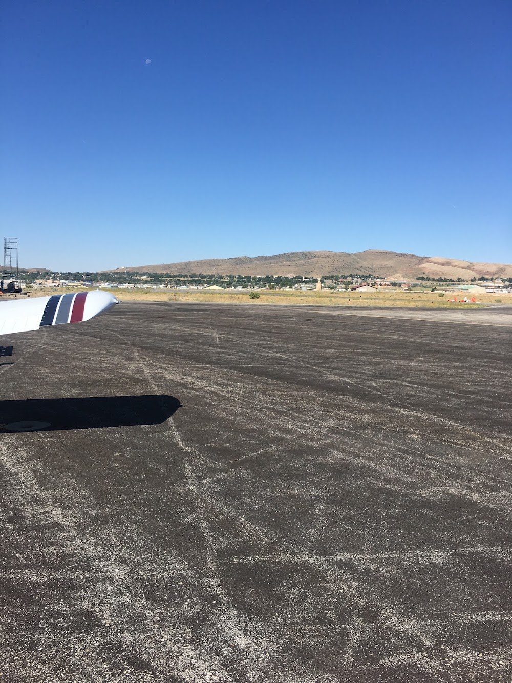
Last updated: 2026-06-30 00:40:16 MDT
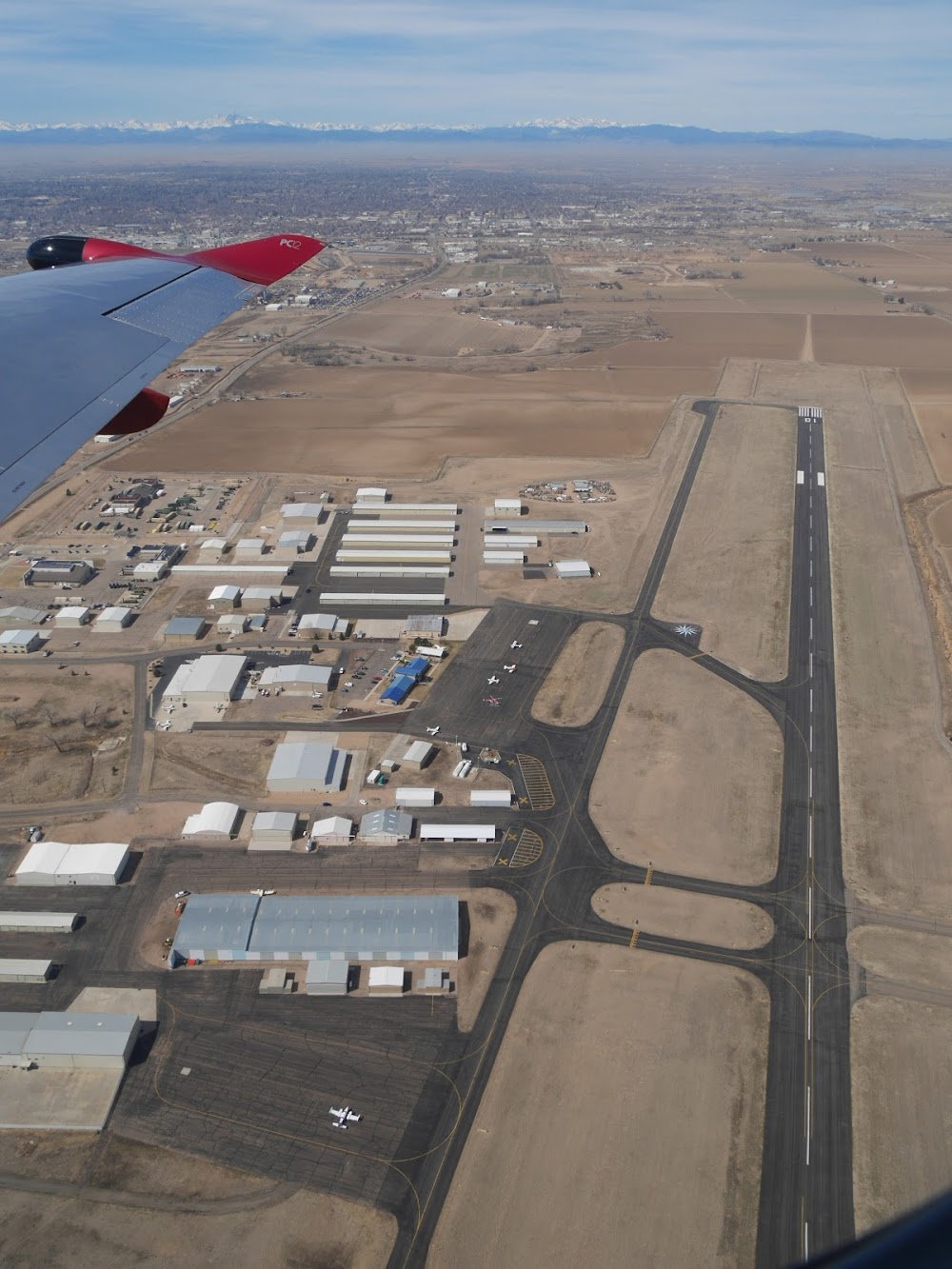
Last updated: 2024-03-08 20:08:07 MST
Airport Statistics
- Transient parking location
- Crew car availability
- Landing & tie-down fees
Location:
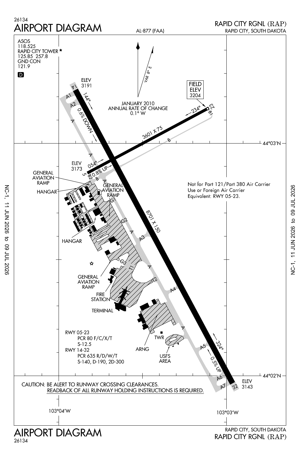
Rapid City, SD
Elevation:
3,203ft
Sectional:
Cheyenne
Activation date:
Aug 1950
Fuel:
100LL, A (prices)
Runway 14/32:
8,701ft
Runway 05/23:
3,601ft
Access: Open to the public
Similar Airports

Current Weather — VFR
-
Weather data is strictly informational and not for flight planning purposes.
-
METAR2026-07-15 20:52:00 MDT
Ceiling: Sky clear Wind: 140° @ 6kt Temperature: 82°F Dewpoint: 51°F Weather: N/A Visbility: 10SM Raw:METAR KRAP 160252Z 14006KT 10SM CLR 28/11 A2999 RMK AO2 SLP119 T02780106 53008 -
TAF2026-07-15 18:00:00 MDT – 2026-07-16 18:00:00 MDT
Ceiling: Sky clear Wind: 150° @ 8kt Weather: N/A Visbility: 6SM Clouds: @ ft Raw:TAF KRAP 152320Z 1600/1624 15008KT P6SM SKC
Click/tap to add an annotation marker to the map
No webcams added yet.
Remarks
- Arff index c avbl upon req.
- Birds on & invof arpt.
- Be alert: extensive military jet tfc invof & nnw of arpt.
- Line-of-sight is restricted between ry 14 & ry 23 physical ends.
- 152 ft agl twr 2.5 nm nnw of arpt.
Comments