Pirep is a free, collaborative database of all public and private airports. All pilots are welcome to contribute their local knowledge to any airport, no registration required.
No upcoming events. Is anything happening here soon?
Last updated: 2024-09-20 07:40:34 MST
Airport Statistics
- Webcam links
- Landing & tie-down fees
- Transient parking location
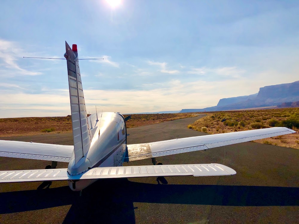
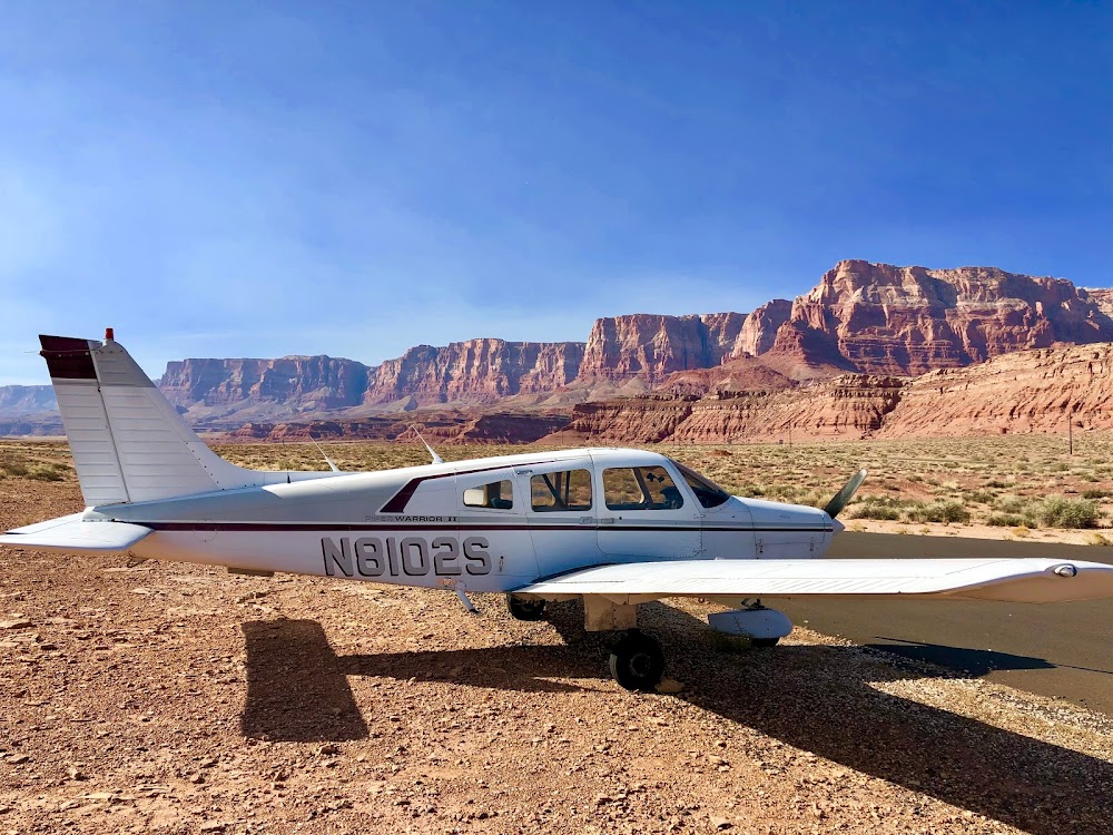
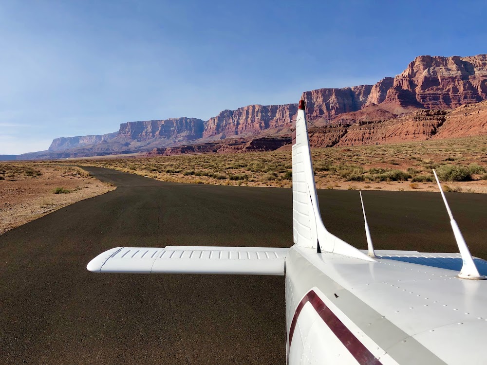
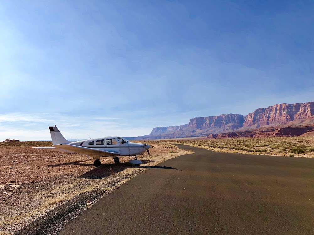
Location:
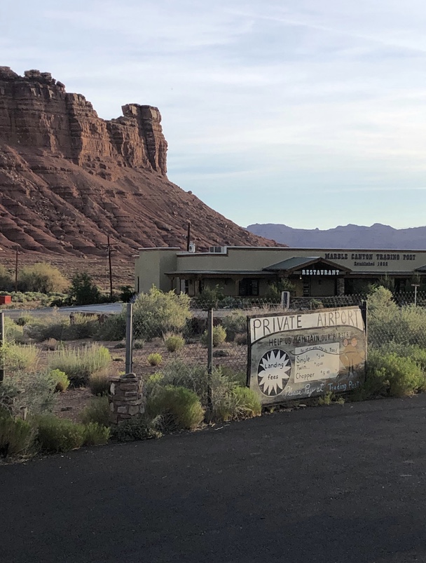
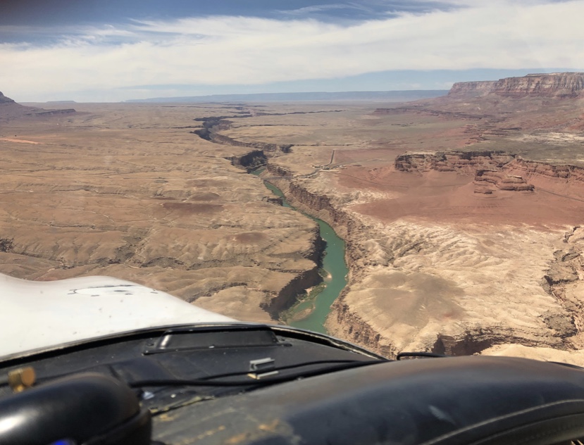
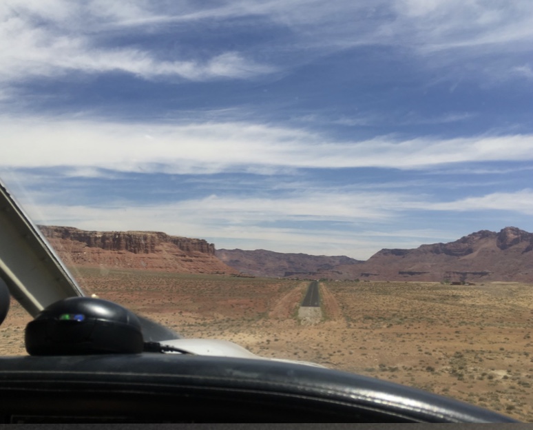
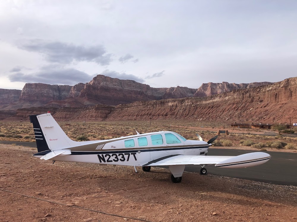
Marble Canyon, AZ
Elevation:
3,603ft
Sectional:
Las Vegas
Activation date:
Jun 1948
Fuel:
None
Runway 03/21:
3,715ft
Access: Private to everyone
Is this airport privately owned but open to the public with or without restrictions? Or perhaps the owner is simply happy for pilots to stop by with prior permission?
Similar Airports

Click/tap to add an annotation marker to the map
No webcams added yet.
Remarks
- Estabd prior to 5/15/59.
- Line of sight btn rwy ends na.
- Arpt unfenced.
- Cliffs w, nw, ne & e.
- Brush along both sides of rwy within primary sfc.
- Pvt arpt; all ops ppr.
- Mnt ctaf wi 5 nm.
- Motel phone avbl for fp cnln.
Comments